What to expect
Highlights
- Use Idukki and Cheruthoni as a local base
- Food, transport and stays are easier here than at isolated attractions
- Good starting point for nearby day trips
The hill headquarters town of Idukki district near the arch dam, a quiet high-range base for Idukki–Cheruthoni dam-side sightseeing and the surrounding reservoir viewpoints.
Painavu is the quiet, forested hill town that Kerala chose as the capital of its most mountainous district — a green government outpost perched high in the High Range, minutes from the great Idukki Arch Dam.
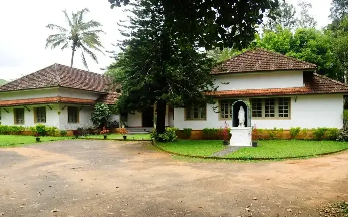
Painavu will surprise anyone expecting a bustling headquarters. It is a small, unhurried town wrapped in wooded ridges roughly 1,200 metres above sea level, where mist drifts through the tree line on cool mornings and the loudest sound is often birdsong. This is the administrative seat of Idukki — the district that spills across the Cardamom and Anamalai foothills — yet it wears its status lightly, with a scatter of offices, a college, a school or two and homes tucked into the slopes rather than a dense urban core.
The town sits inside the notified boundary of the Idukki Wildlife Sanctuary, and that setting defines the whole experience of being here. Instead of traffic and shopfronts you get plantation-fringed hills, patches of evergreen forest and long green horizons folding away toward the distant peaks of the High Range. The air is genuinely cool for much of the year — a relief after the humid lowlands — and the light on the ridges at dawn and dusk is the town’s real attraction.
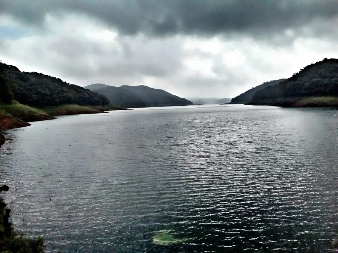
What draws most travellers to Painavu is not the town itself but what lies a short drive away. The colossal Idukki Arch Dam and the Cheruthoni Dam — the twin faces of the Idukki Hydroelectric Project — sit only a few kilometres off, holding back a vast reservoir that fills the valleys with sheets of still water. From high vantage points around Painavu and neighbouring Cheruthoni, the reservoir appears as a long silver ribbon threaded between forested spurs, one of the most photographed panoramas in Kerala’s hill country.
Because of this, Painavu functions best as a base rather than a destination in its own right. Set up here or in adjoining Cheruthoni and you are within easy reach of the arch dam, the reservoir viewpoints, the hilltop cross of Kalvari Mount, the boating stretches between the dams, and the walking trails through forest and plantation. It is the natural staging post for exploring the surrounding wildlife sanctuary and the wider High Range, with the practical comfort of a district town’s services close at hand.
The rhythm of the place is slow and green. Government workers commute to the Civil Station, students head to the engineering college, and the surrounding countryside carries on its long tradition of High Range cultivation — cardamom, pepper, rubber and other hill crops that have shaped this landscape for generations of settler-farmers. For a visitor, Painavu is somewhere to breathe cool mountain air, watch the reservoir change colour through the day, and slip out to the big sights whenever the mood strikes.
None of this makes Painavu a headline attraction, and it would be dishonest to pretend otherwise — there is no grand temple, fort or bazaar here. Its appeal is quieter and cumulative: the setting, the calm, the reservoir and hill views, and its unbeatable position as a launch pad into one of Kerala’s most dramatic engineered and natural landscapes.
Idukki district was carved out and formally created on 26 January 1972, bringing together the High Range and midland tracts of what had been parts of Kottayam and Ernakulam. It was, and remains, one of Kerala’s most mountainous and forested districts, dominated by the Western Ghats and their cardamom-scented ridges.
When the district was first formed, its administration functioned from Kottayam, well outside the hills it governed. In June 1976 the headquarters was shifted up into the High Range to Painavu, in the Thodupuzha taluk, placing the seat of government much closer to the heart of the district it served. Over the following years the Civil Station and a cluster of government institutions took shape on the wooded slopes, giving the small town its distinctive administrative character.
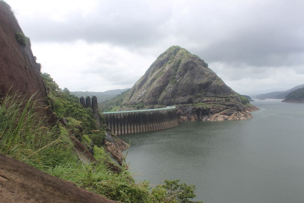
Painavu’s modern significance is inseparable from the Idukki Hydroelectric Project, the giant engineering scheme that reshaped this region in the same era. The centrepiece is the Idukki Arch Dam, built across the Periyar river between two hills — a double-curvature arch dam widely described as Asia’s first of its kind. Work on the great arch began around 1969, the reservoir started filling in the early 1970s, and the project was commissioned in 1976, the same period Painavu became the district capital.
Alongside the arch dam, the Cheruthoni Dam and the Kulamavu Dam were raised to close off the valleys and create a single vast reservoir feeding the underground power station. Together these works submerged old valley land, drew in workers and engineers, and transformed a remote forest tract into a place of national importance for power generation — the backdrop against which the quiet capital town of Painavu grew.
The wider human story here is one of settler-farming in the High Range: waves of migrant cultivators who, through the twentieth century, opened up the hills for cardamom, pepper, rubber and other plantation crops. Much of the surrounding land was later brought within the Idukki Wildlife Sanctuary, notified to protect the forests and their elephants and other wildlife, so that today Painavu sits at the meeting point of administration, agriculture, hydro-power and conservation.
It is the calm, cool-climate base for visiting the famous Idukki Arch Dam and Cheruthoni Dam.
Panoramic reservoir and High Range hill views right on its doorstep.
Set inside the Idukki Wildlife Sanctuary — forest, birdlife and plantation country all around.
Springboard for Kalvari Mount, reservoir boating and forest trekking.
A genuinely quiet, green government town — an antidote to crowded hill resorts.
Well-connected road access and district-town services make it a practical hub for the region.
Road km to Idukki; ghat roads and traffic vary — allow extra.
October to March is the easiest Kerala travel season; mornings and late afternoons are generally better for walking.
Live forecast loads in your browser.
Sun and moon are calculated for this location and shown in IST. Photography windows are the hour around sunrise and sunset; the sunset bearing is degrees clockwise from true north. Moon phase is accurate to about half a day.
These are official or public-sector eco offerings that match this place, town or forest destination. Confirm availability, permits, tariffs and reporting times with the official operator before travel.

Forest and reservoir wildlife sanctuary around the Idukki-Cheruthoni dam landscape.
Official source →
Idukki reservoir viewpoint and pilgrimage hill, connected with Kerala Forest Ecotourism listings.
Official source →Browse listed stays, food, activities, sights, shops and rentals around Painavu. Check each listing’s locality and contact the business directly for current arrangements.
Kerala Tourism destination record for Peermade Ayurveda, Panchakarma, herbal medicine, yoga and wellness stays.
Book with the place itself. India’s cyber-crime coordination centre warned in April 2025 that convincing copies of hotel and pilgrimage booking sites are being pushed through sponsored search and social ads, taking payment for rooms the property never hears about. Use the contact and source details on each profile to confirm the exact business and booking channel. A directory entry or map pin alone does not establish an operator’s identity or current availability. Roampedia takes no commission and does not collect booking payments. If a booking page reached you through an ad, check the address bar against the property’s own site before you pay. Fraud can be reported on cybercrime.gov.in or on 1930.
Find food, accommodation and activities across Idukki and Cheruthoni. Browse the guides for places to eat, stay and explore along your route.
20 more places around Idukki and Cheruthoni. Open a guide to plan the visit and onward journey.
A Peerumedu ridge walk through plantation and high-range scenery, with access dependent on the chosen trail, land permission and current weather.
18.1 km · straight line
The long pedestrian suspension bridge above the Idukki reservoir at Ayyappancoil, valued for water and hill views as well as the crossing itself.
A secluded waterfall below Kuttikkanam whose approach has depended on estate tracks and regulated jeep routes; current legal access must be established first.
7.4 km · 10 min drive
Major hydroelectric dam and one of Kerala’s landmark engineering sites.
4.2 km · 8 min drive
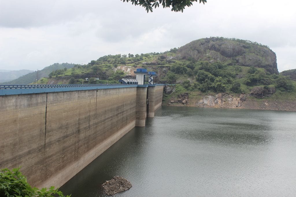
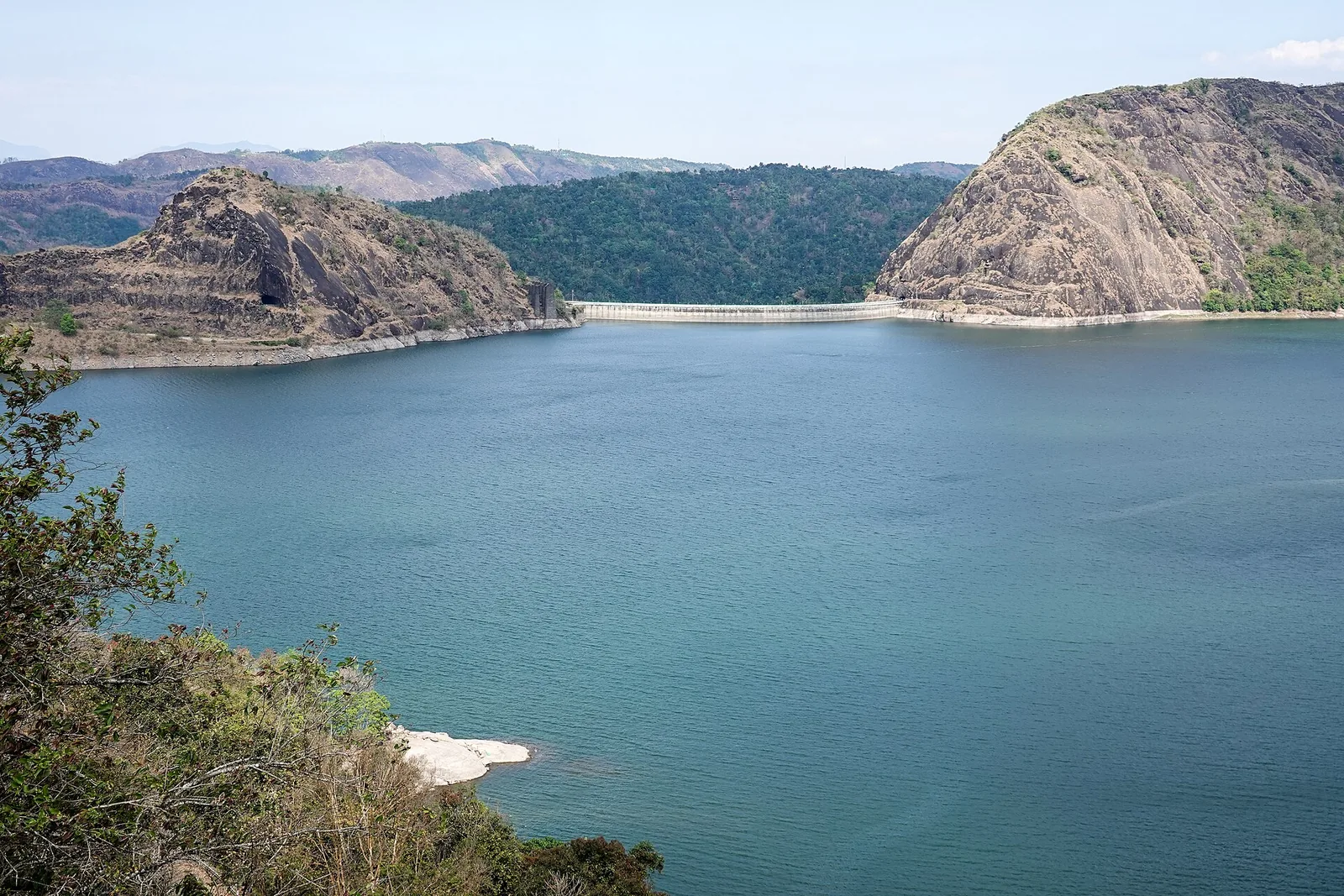
The 138-metre concrete gravity dam a kilometre west of the Idukki arch dam, carrying the five radial gates that are the only spillway for the whole Idukki reservoir — the gates opened in a south-west monsoon for the first time on 9 August 2018.
4.3 km · 7 min drive
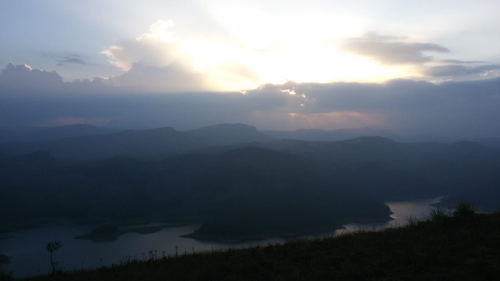
The DTPC’s eight-acre garden and viewing park on the Vellappara shoulder above the Idukki reservoir, about 350 ft above the water. It is the dependable way to see the Idukki arch dam — strung between Kuravanmala and Kurathimala, roughly 1.6 km east-north-east — because the dam crest itself is shut most of the year and this is open every day from 08:00 to 19:00.
19.4 km · 23 min drive
Reservoir-view hill point near Idukki and Cheruthoni, useful for scenic drives, photos and central high-range itineraries.
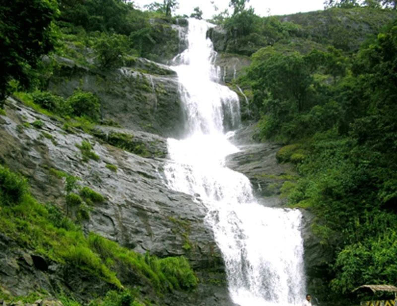
Waterfall on the Kochi-Munnar road, commonly paired with Valara as a high-range arrival stop.
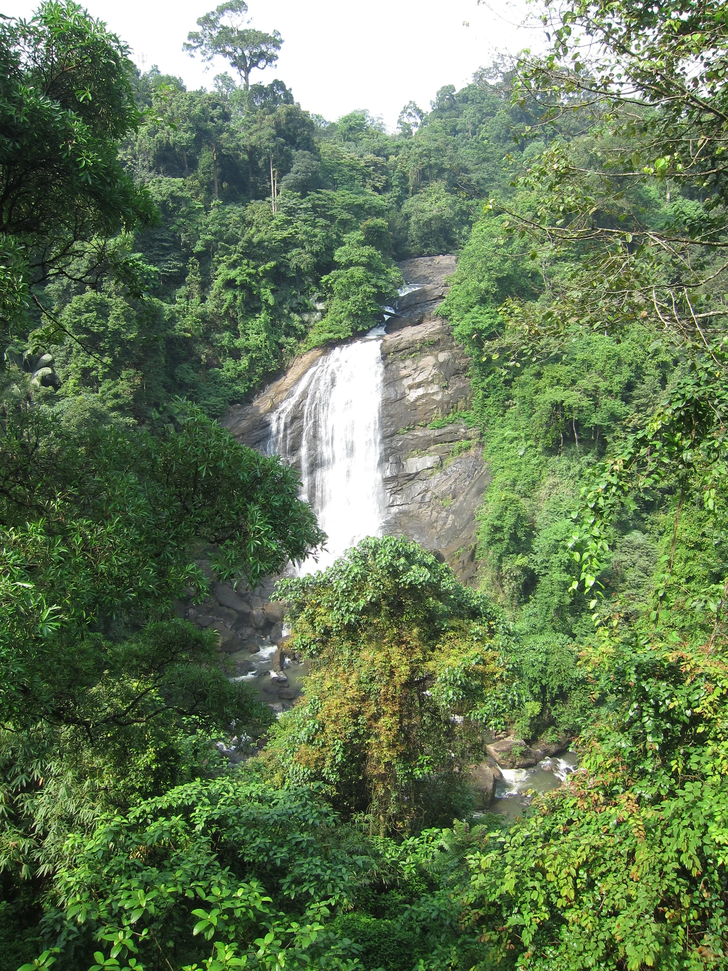
Valara is the forest-framed Deviyar cascade beside NH85 between Neriamangalam and Adimali in Idukki. It is a separate roadside stop from Cheeyappara, with viewing from the road and no assumed access to the waterfall base.

Peermade, also written Peerumedu or Peermede, is a plantation settlement and highland landscape on the Kottayam–Kumily road in Idukki. The map uses the town centre as a visitor base, not a single hilltop attraction.

Meadow and hill-viewpoint landscape near the Peermade/Kuttikkanam side of Idukki.

Peermade-side hill-station and adventure-tourism area, useful for tea estates, pine roads and central high-range routing.
17.6 km · 16 min drive
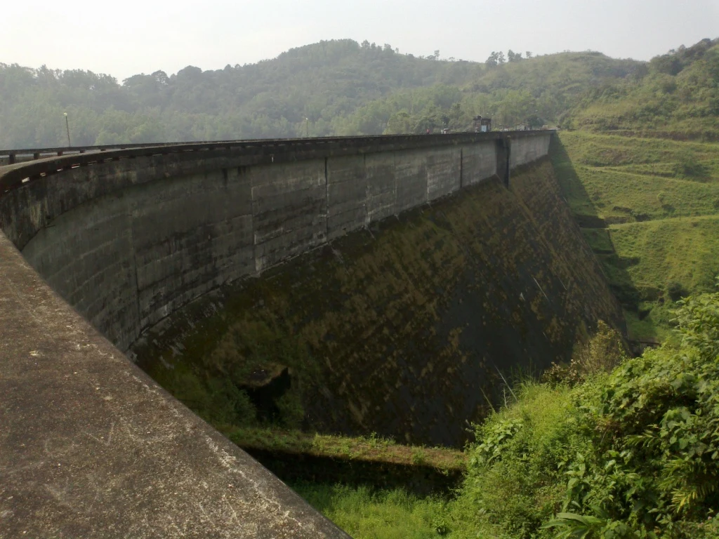
Kulamavu is KSEB’s gravity dam on Kilivallithodu and one of three dams forming the Idukki reservoir. Visit through the hydel-tourism arrangements; reservoir views do not authorise entry to restricted infrastructure.
44.2 km · 47 min drive
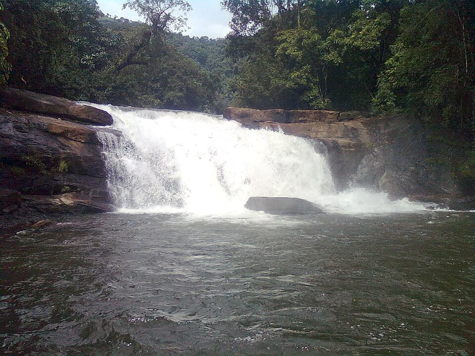
Seven-step cascade and eco-tourism trekking spot on the Kaliyar river near Thodupuzha, with rock pools, forest paths and a Forest Department eco-tourism trail.
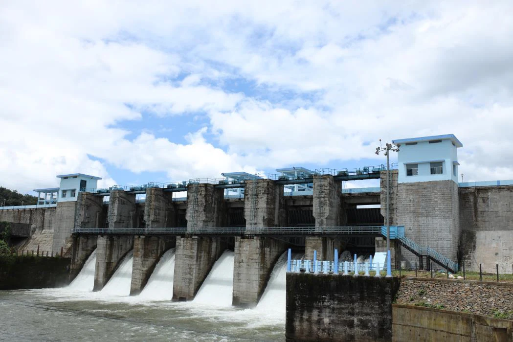
An Irrigation Department dam and reservoir at Muttom near Thodupuzha, storing Thodupuzha River runoff and Idukki power-station tailwater for the Muvattupuzha Valley Irrigation Project; the visitor park has its own permitted areas.
34.3 km · 40 min drive
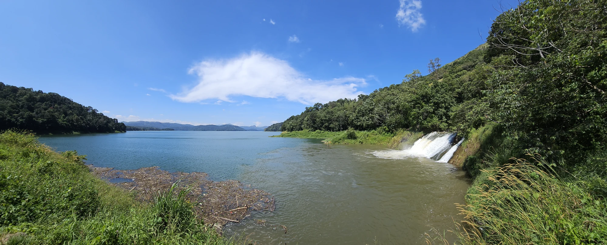
The Anchuruli reservoir-side landscape near Kattappana, where the Erattayar diversion tunnel discharges towards Idukki reservoir. Plan an exterior viewpoint visit; the water tunnel is working infrastructure.

61.8 km · 84 min drive
Protected forest around the Idukki and Cheruthoni reservoirs near Painavu, with hilly evergreen woodland, elephants and boat-and-trek access arranged through the Forest Department.
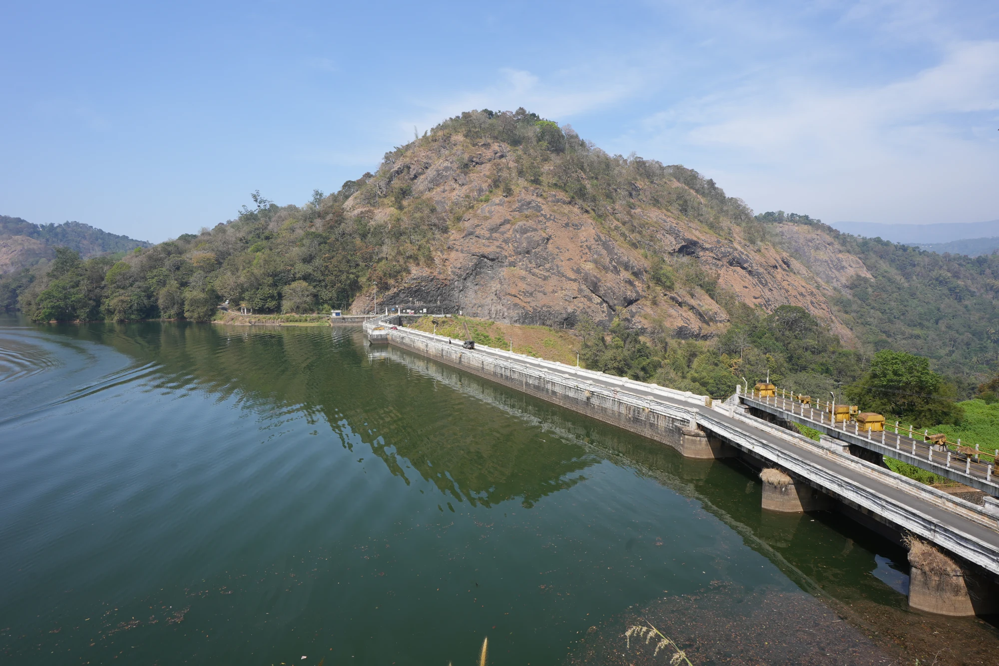
33.7 km · 39 min drive
KSEB’s Panniyar-project dam at Konnathadi near Rajakkadu and Vellathooval in Idukki; a reservoir-and-engineering visit, distinct from Ponmudi hill station in Thiruvananthapuram.
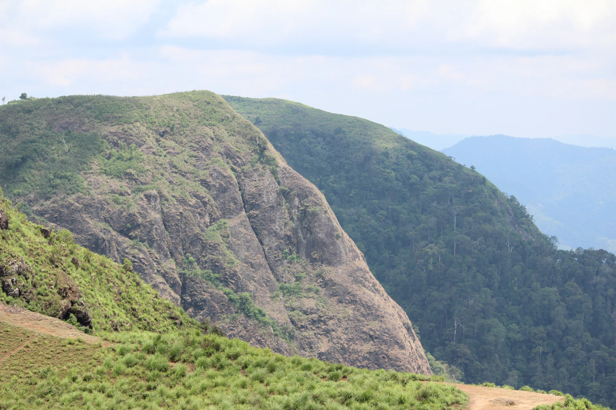
A rock-and-grass viewpoint near Peermade on the Pambanar side of Idukki, overlooking steep wooded ravines; known as Eagle Rock and for the profile-like Tagore Rock formation.
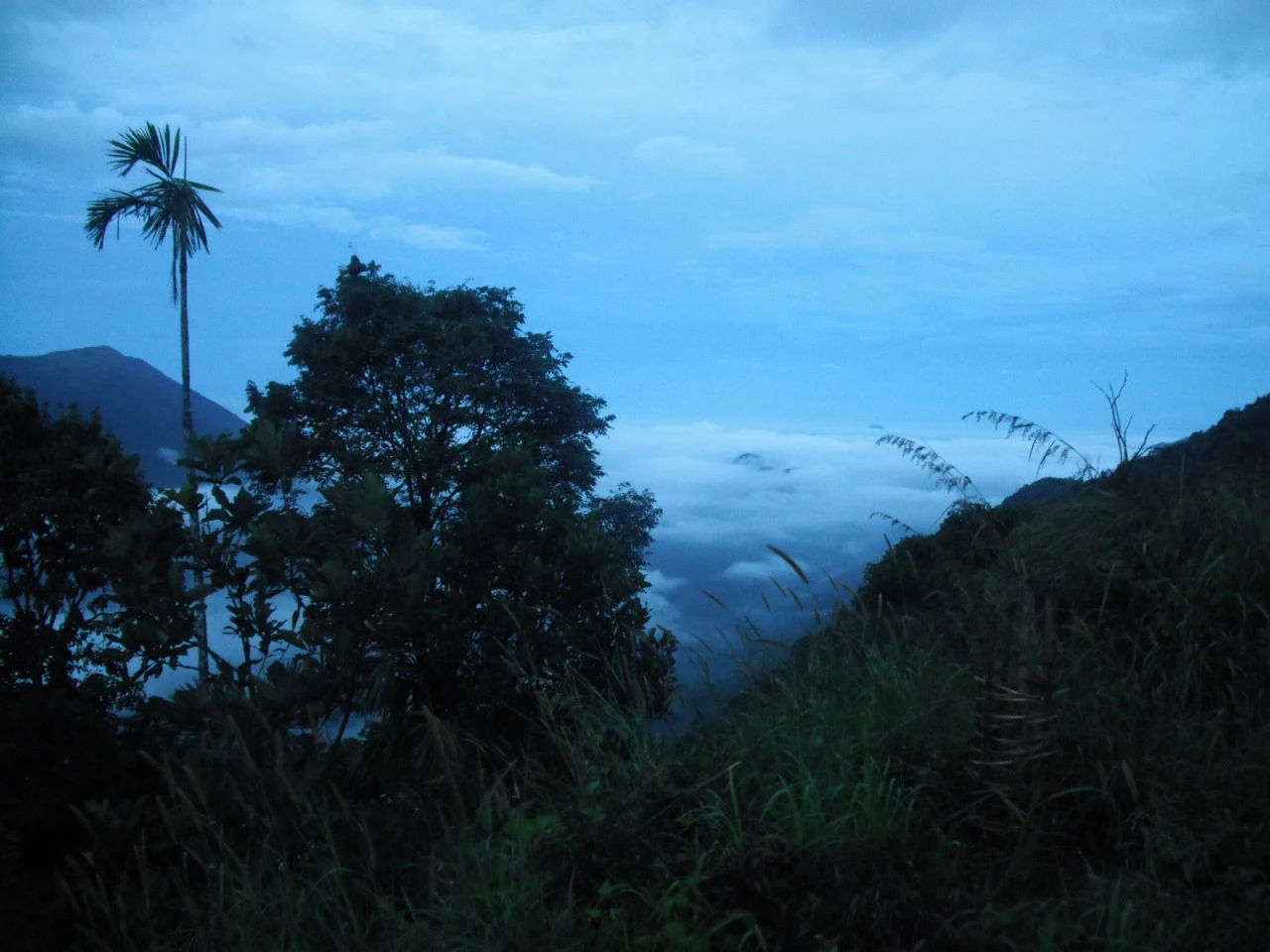
23.5 km · 22 min drive
Ghat viewpoint on the Thodupuzha–Puliyanmala road overlooking the Idukki high range, a popular stop for valley views and cool breezes.
Roampedia is commission-free — own or know a stay, eatery, guide or shop near Painavu? Submit public business details for review.
Add a nearby businessEntry: No charge to be in the town itself; nearby sights such as the dam viewpoints, boating and any sanctuary trails may levy their own fees or need permits.
Photography: Superb for landscape photography — reservoir panoramas, misty forested ridges and the High Range skyline reward early-morning and late-afternoon light; note that photography can be restricted at and around the dams for security reasons, so check on site.
If you are travelling by bus or ferry, check the return service with the operator before setting out. Leave time to reach the stop or jetty after your visit.
Ask at the bus stand for the time of the last service back, not the next one. If you miss it, an auto or app cab is the fallback — agree the fare before you get in.
If you need step-free access, contact the site before travelling. Ask about a level entrance, steps along the route, the nearest drop-off point, seating and accessible toilets.
These services are listed within about 1.2 km of Painavu. Walking distances follow mapped routes; access and opening hours can change. Other services may be closer but are not included here.
Published emergency and visitor-assistance contacts. For an immediate emergency, call 112. Shared Kerala contact sources checked 4 October 2026; publication does not establish a tested live response.
The 138-metre concrete gravity dam a kilometre west of the Idukki arch dam, carrying the five radial gates that are the only spillway for the whole Idukki reservoir — the gates opened in a south-west monsoon for the first time on 9 August 2018.
4.2 km · 8 min driveThe DTPC’s eight-acre garden and viewing park on the Vellappara shoulder above the Idukki reservoir, about 350 ft above the water. It is the dependable way to see the Idukki arch dam — strung between Kuravanmala and Kurathimala, roughly 1.6 km east-north-east — because the dam crest itself is shut most of the year and this is open every day from 08:00 to 19:00.
4.3 km · 7 min driveMajor hydroelectric dam and one of Kerala’s landmark engineering sites.
7.4 km · 10 min drive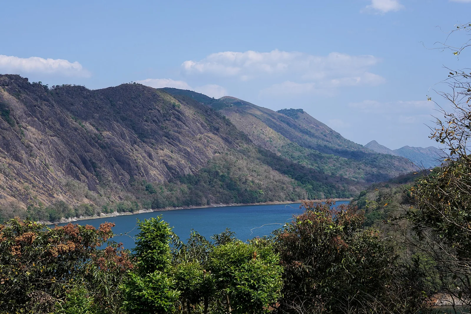
The Forest Department’s guided walk on the grass tops at the southern end of the Idukki Wildlife Sanctuary, about ten kilometres by road from Vagamon — some seven kilometres on foot up jeep track and open ridge, with the Idukki reservoir catchment below you. The state will not sell it to fewer than six people, and it will not take more than seven.
15.3 km · straight lineKulamavu is KSEB’s gravity dam on Kilivallithodu and one of three dams forming the Idukki reservoir. Visit through the hydel-tourism arrangements; reservoir views do not authorise entry to restricted infrastructure.
17.6 km · 16 min driveThe long pedestrian suspension bridge above the Idukki reservoir at Ayyappancoil, valued for water and hill views as well as the crossing itself.
18.1 km · straight lineReservoir-view hill point near Idukki and Cheruthoni, useful for scenic drives, photos and central high-range itineraries.
19.4 km · 23 min driveGhat viewpoint on the Thodupuzha–Puliyanmala road overlooking the Idukki high range, a popular stop for valley views and cool breezes.
23.5 km · 22 min driveKSEB’s Panniyar-project dam at Konnathadi near Rajakkadu and Vellathooval in Idukki; a reservoir-and-engineering visit, distinct from Ponmudi hill station in Thiruvananthapuram.
33.7 km · 39 min driveThe Anchuruli reservoir-side landscape near Kattappana, where the Erattayar diversion tunnel discharges towards Idukki reservoir. Plan an exterior viewpoint visit; the water tunnel is working infrastructure.
34.3 km · 40 min driveSeven-step cascade and eco-tourism trekking spot on the Kaliyar river near Thodupuzha, with rock pools, forest paths and a Forest Department eco-tourism trail.
44.2 km · 47 min driveProtected forest around the Idukki and Cheruthoni reservoirs near Painavu, with hilly evergreen woodland, elephants and boat-and-trek access arranged through the Forest Department.
61.8 km · 84 min driveRoad and walking figures are route estimates, with travel times dependent on access, traffic and conditions. Figures marked “straight line” show direct separation and do not describe a road or walking route. Fare estimates use Kerala’s 26 April 2022 auto/taxi notification and exclude waiting, night and applicable one-way surcharges. Confirm the current meter or operator quote before travelling. Routing: © openrouteservice.org by HeiGIT | Map data © OpenStreetMap contributors
Nearby toilets, pharmacies, ATMs, seating and vets are community-mapped and may be incomplete or out of date. Map data © OpenStreetMap contributors | Walking times © openrouteservice.org by HeiGIT
Painavu is the administrative headquarters of Kerala’s Idukki district — a small, quiet hill town best known as the base for visiting the nearby Idukki Arch Dam, Cheruthoni Dam and reservoir, set amid the forests of the Idukki Wildlife Sanctuary in the High Range.
It is honestly a small administrative town rather than a big attraction in itself. Its value is the setting — cool climate, reservoir and hill views — and its position as a convenient base for the arch dam, Kalvari Mount, boating and wildlife-sanctuary trails a short drive away.
The Idukki Arch Dam and Cheruthoni Dam lie only a few kilometres from Painavu — commonly cited as roughly 5 to 7 km. The neighbouring town of Cheruthoni sits right beside the dam.
The cool, drier stretch from around September to May is generally the most pleasant. The June to August monsoon brings heavy rain but leaves the hills lush and the reservoir full.
By road via State Highway routes from Thodupuzha and the Neriyamangalam road. The nearest major airport is Cochin International, roughly 100 to 120 km away, and the nearest convenient railheads are Kottayam (around 95 to 100 km) and Ernakulam.
Painavu lies within the Idukki Wildlife Sanctuary, so the surrounding forests support elephants and varied birdlife; sightings are never guaranteed but are more likely on organised forest treks and around the reservoir, particularly in the wetter months (confirm access and permits locally).
Entry: No charge to be in the town itself; nearby sights such as the dam viewpoints, boating and any sanctuary trails may levy their own fees or need permits. Timings: As a town, Painavu is always accessible and has no opening hours; individual attractions nearby (the dams, viewpoints, wildlife-sanctuary trails and boating) keep their own timings, so plan around those.
Half day to 2 days, depending on nearby attractions.
Nearby you can pair Cheruthoni Dam (4.2 km, route estimate), Hill View Park (4.3 km, route estimate), Idukki Arch Dam (7.4 km, route estimate), Vagavanam Windy Walk trek (15.3 km, approximate straight-line separation).
Keep valuables light in busy town areas. Use registered taxis, autos or known operators for late returns.
We have not published a story about Painavu itself yet. These cover Idukki and Cheruthoni and the wider district, with separate journeys between stops.
These guides explore Idukki and Cheruthoni and the surrounding area. Choose a visit that fits your interests, allowing separately for travel between stops.


Route-level itineraries and practical guides for the rest of Kerala.
Photographs: PranavMurali (CC BY-SA 4.0), Department of Tourism, Government of Kerala (© Kerala Tourism), Alanjs (CC BY-SA 4.0). Wikimedia Commons.