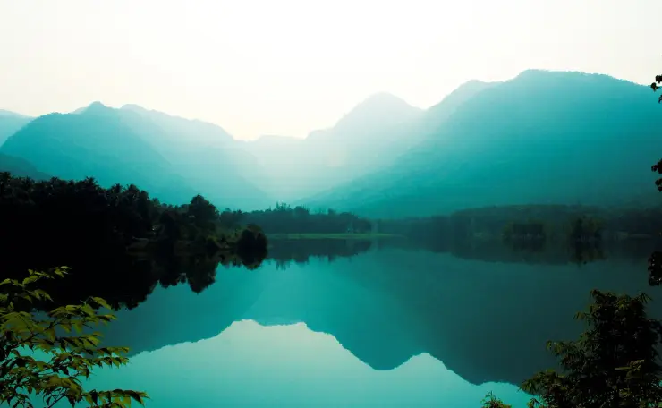
Kakkayam Dam

Kakkayam is a forested reservoir and dam-side day-trip area in the Kozhikode high ranges, usually planned for reservoir views, Urakkuzhi waterfall-side scenery, Kariyathumpara and the Peruvannamuzhi approach belt. It is quieter and more nature-led than Kozhikode city attractions.

Kakkayam Dam, Kakkayam
Practical guide

Plan Kakkayam Dam

Who's going?Tailor Kakkayam Dam to your trip
Typedam
AreaKakkayam
DistrictKozhikode
Best timePost-monsoon to winter is generally best…
Time neededHalf day from nearby bases
EntryVaries — see below
Places to visit5Listed businesses5

Access here is disciplined and changeable: forest permissions, dam-area rules, the road, the weather and which viewpoints are open can all differ from one week to the next. A local driver or guide who knows the current rules is worth more here than any itinerary.

The story

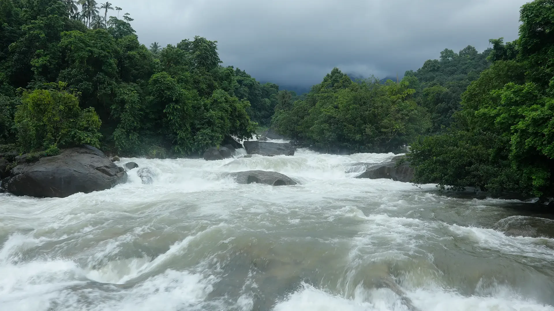
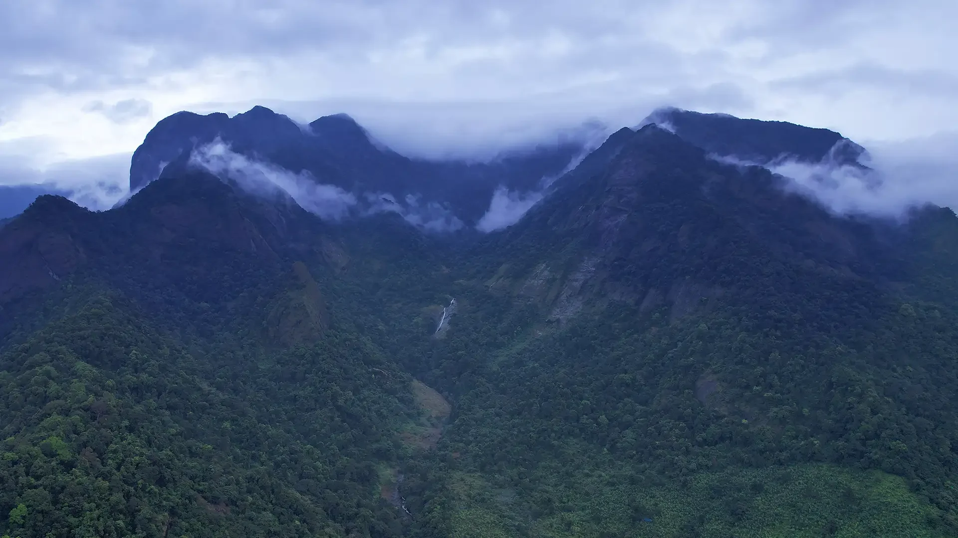
High in the rugged Western Ghats of Kozhikode district, Kakkayam Dam holds back the Kuttiyadi River in a dramatic forested gorge, its still green reservoir ringed by mist-wrapped ranges, waterfalls and rare Malabar wildlife — a place equally loved for its trekking and haunted by a dark chapter of Indian history.

The story of Kakkayam Dam

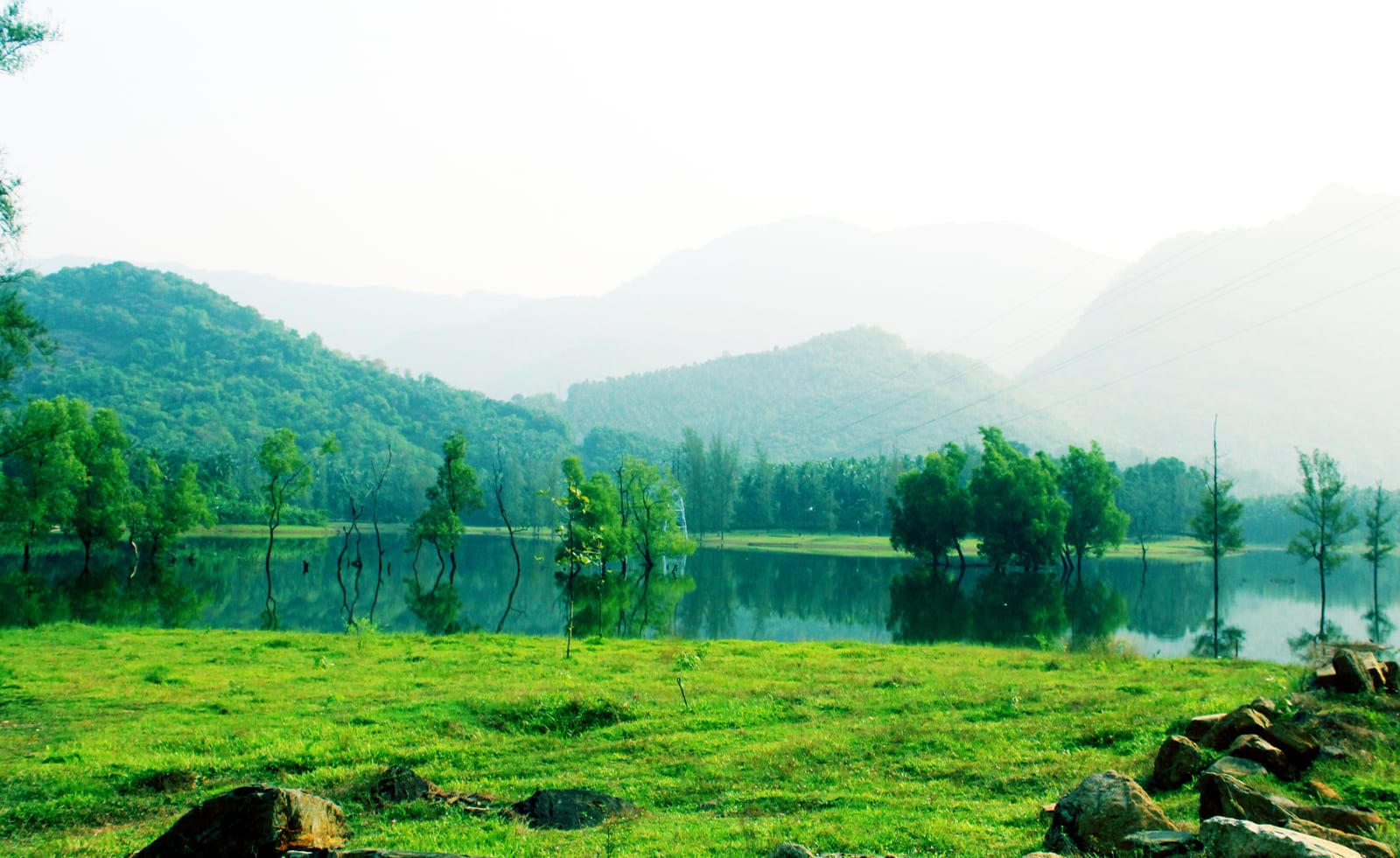
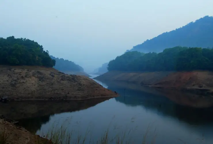
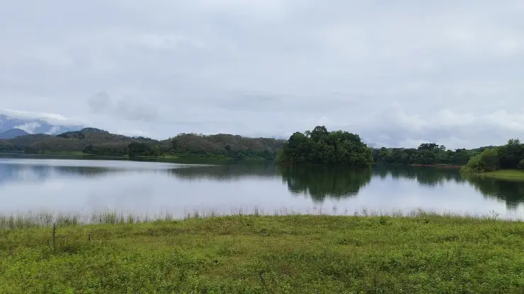
The road to Kakkayam climbs steadily out of the plains through Balussery, Koorachundu and the last plantation villages before the tar gives way to a Forest and KSEB checkpost and the hills close in. At roughly 750 metres above sea level, the land suddenly opens onto the reservoir — a long sheet of dark green water pressed between steep, forest-clad ridges of the Western Ghats. The Kakkayam Dam itself is a working hydro-electric structure, not a manicured tourist park, and that is precisely its appeal: this is raw Malabar high country, where cloud snags on the peaks and the only sounds are wind, water and birdsong.

The dam is the storage heart of the Kuttiyadi Hydro Electric Project, one of Kerala's important power schemes. Water impounded here is carried through tunnels and steep penstocks down to the Kuttiyadi powerhouse, which drives the state grid, before the tail water is eventually returned to irrigate the plains below around Peruvannamuzhi. Standing on the bund, you sense that scale — the engineering that tamed a wild mountain river — while all around the landscape stays defiantly untamed.

Kakkayam sits inside the Malabar Wildlife Sanctuary — not on its edge, as this page and much else used to say. The sanctuary was notified on 5 June 2009 over 74.215 sq km of the Kakkayam and Pannikottur reserve forests and adjoining vested forests — the public inauguration that most accounts date it by came fourteen months later, on 8 August 2010 — and it is administered from the Peruvannamuzhi Range; from the moment you pass the check post you are within it. The valley is famous among naturalists for its biodiversity. Wild elephants move through these forests, along with gaur (Indian bison), deer, wild boar and a rich cast of birds and butterflies; the slopes shelter rare orchids and medicinal herbs prized by botanists. The area's ecological richness has drawn conservation attention for years, and much of the terrain beyond the reservoir is protected forest that can only be entered with permission and a guide.

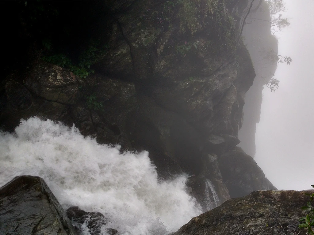
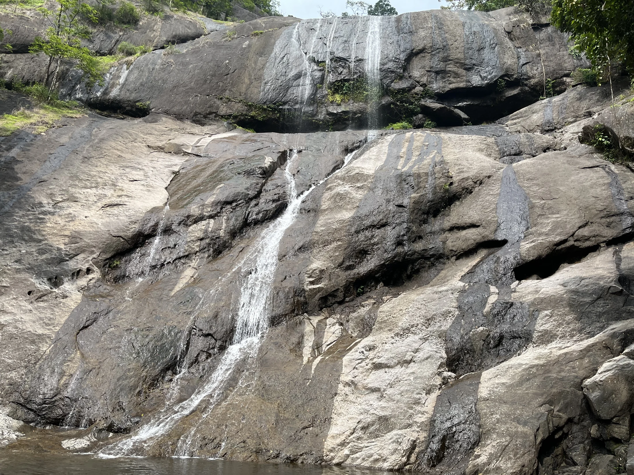
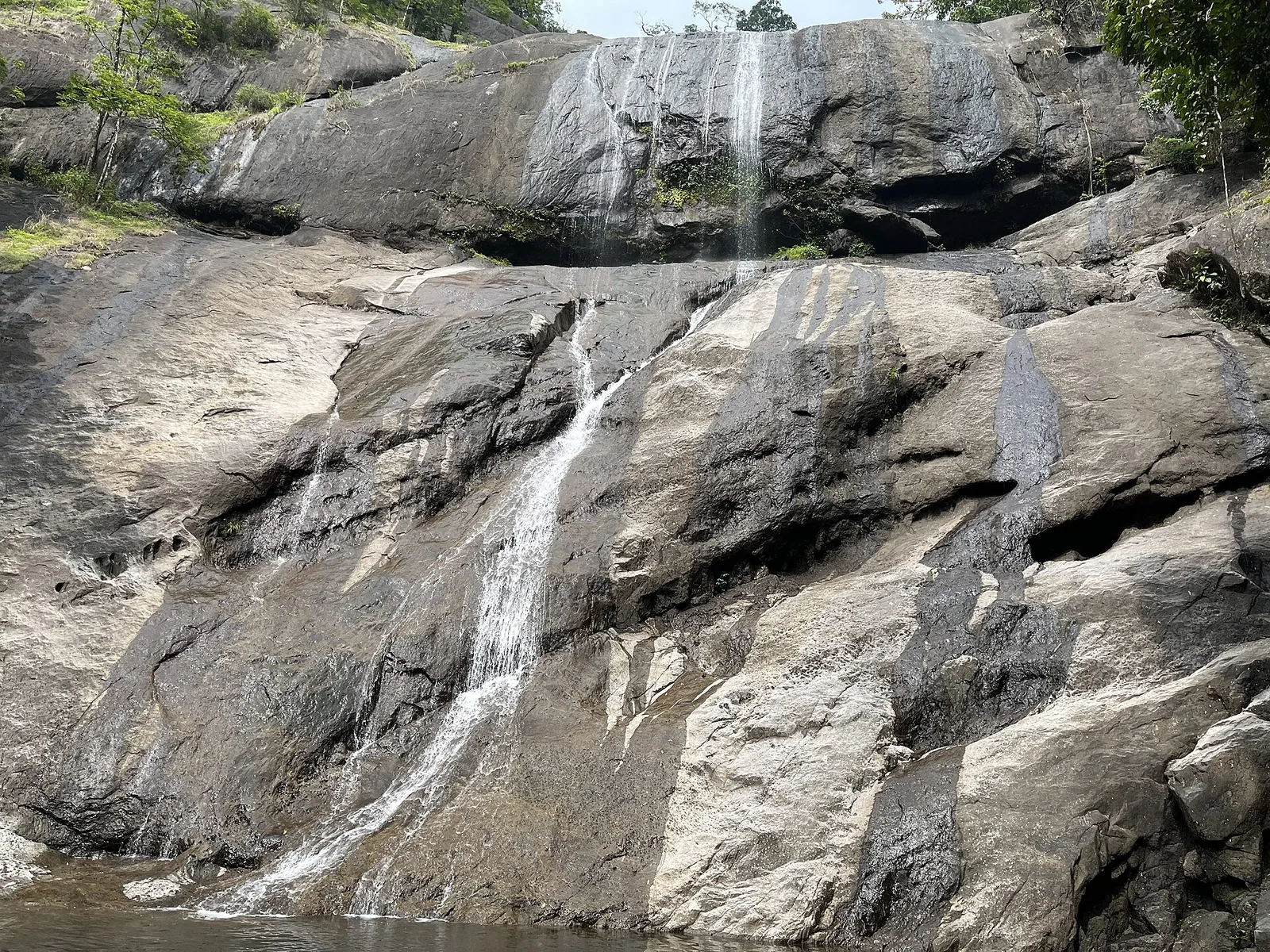
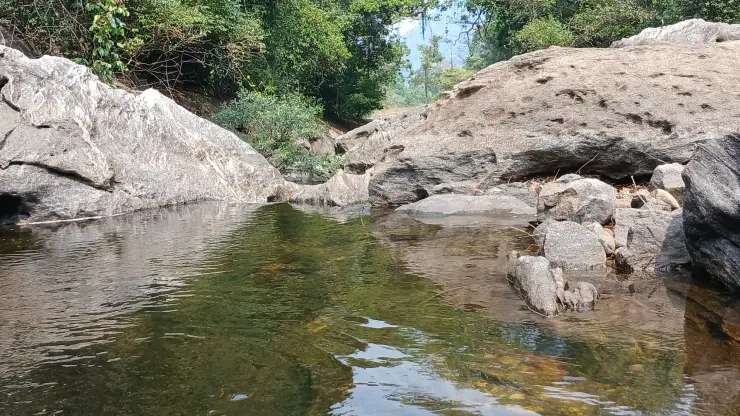
Two names get attached to Kakkayam that are worth untangling before you plan a day here. Urakkuzhi Falls is genuinely close — about 630 metres due south of the dam, on a road that maps name, quite literally, the Kakkayam Dam site–Urakkuzhi road. It is essentially at the dam rather than a trek beyond it. Kariyathumpara is the opposite: 3.4 km south-west in a straight line but 16.6 km by road, down at 57 metres where the Kuttiyadi river meets the head of the Peruvannamuzhi backwater. It is a ticketed riverside bathing and picnic centre with a hamlet attached — church, primary school, telephone exchange — in the same Koorachundu panchayat as the dam. It is a place you drive to, not a summit you walk out to, and the state's own tourism pages contradict each other on this.

Boating on the reservoir, run by KSEB's hydel tourism arm, offers a gentler way to feel the scale of the ranges. Rock climbing and rappelling are advertised on Kerala Tourism's own destination page for Kakkayam and repeated widely — but we could find no operator, no permit, no price and no forest programme behind them. The terrain is certainly climbable; there is no documented organised climbing activity here to book, and we would rather say so than imply otherwise.

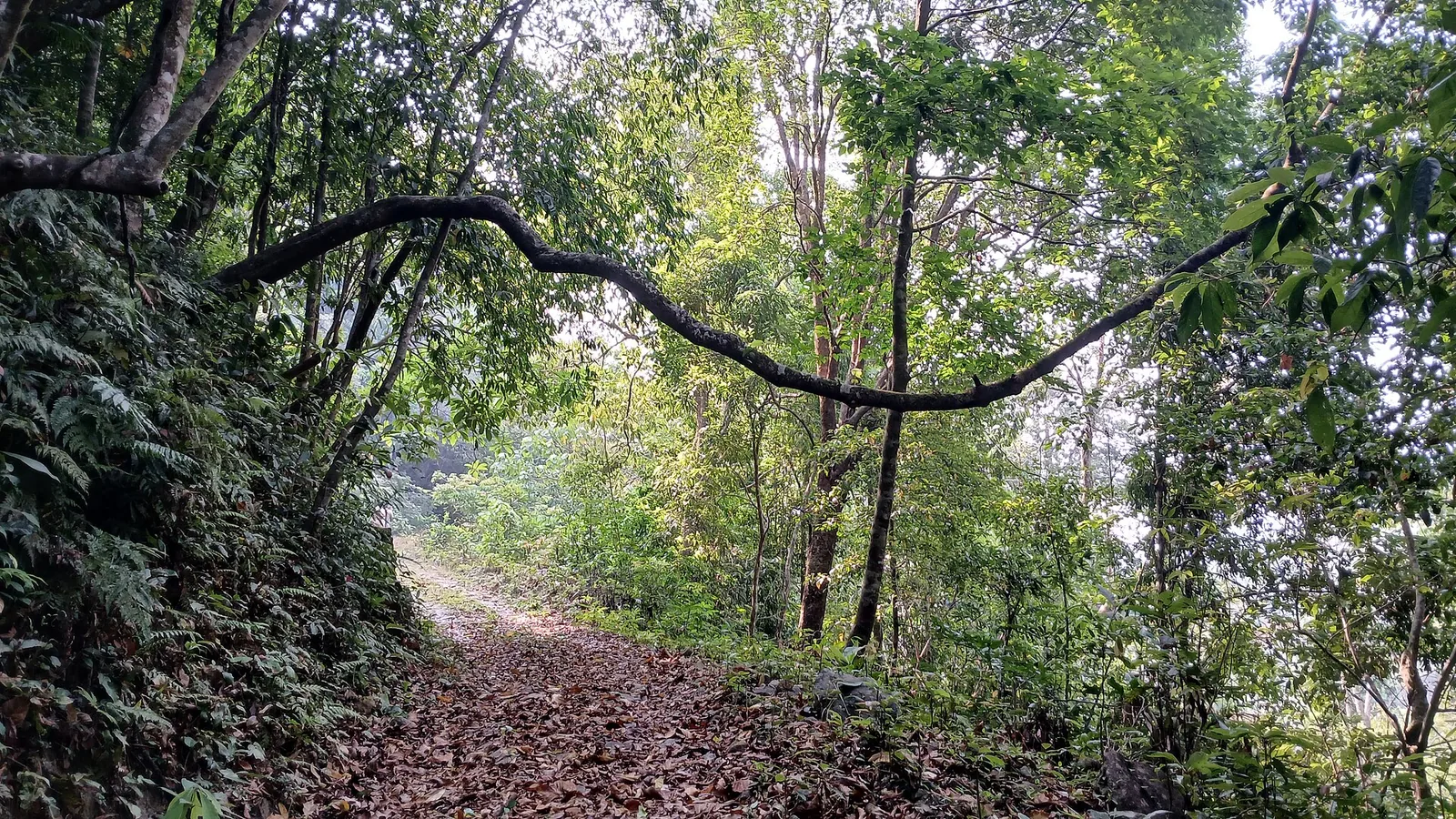
Because so much of Kakkayam is reservoir land and reserve forest, access is deliberately controlled. The dam-site and the eco-tourism treks operate to fixed daytime hours under the Forest Department and KSEB, and the deeper trails are opened only in safe seasons and closed in heavy monsoon. It is a place best approached with patience: confirm access before you set out, respect the checkposts, and let the sheer scale of the gorge and the quiet of the water do the rest.

Yet Kakkayam carries a weight that most scenic dams do not. In the forests near this reservoir stood a police camp that became infamous during the Emergency of 1975–77, the site of one of independent India's most notorious custodial-death cases. Visitors today come for the waterfalls and the wildlife, but the name Kakkayam also endures in Kerala's memory as a byword for a grim episode of state excess — a history worth knowing quietly as you take in the beauty.

Legend & myth

There is a number attached to Kakkayam that almost everyone repeats, including — until this rewrite — us. It is 225 MW, and it is usually phrased so that it sounds like the output of the wall you are standing on. It is not. The dam generates nothing at all; it stores. And the figure describes not one powerhouse but four, commissioned thirty-eight years apart.

KSEB's own words are unambiguous: the Kuttiyadi Hydro Electric Project "consists of Four Power houses", with a total installed capacity of 228 MW. The original station of 1972 is 75 MW — three 25 MW vertical Pelton units built by Fuji Electric of Japan, entering service on 11 September, 1 November and 28 November that year, with a firm annual generation of 268 million units. A 50 MW extension from GE Canada followed in January 2001, installed beside the old hall by splitting the existing penstock. A wholly separate 100 MW powerhouse, built by a BHEL–L&T consortium with its own two-kilometre penstock, came in October 2010. A 3.75 MW tail race scheme runs on the water the others have finished with, and a 3 MW plant is still listed as under construction.

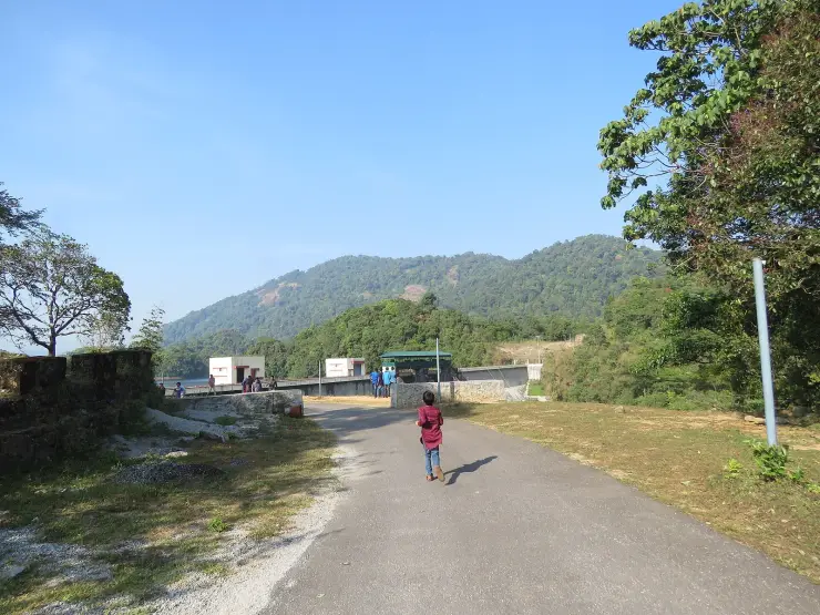
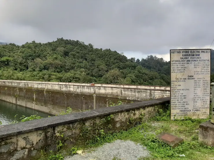
The board bolted to the dam has been telling the truth the whole time. It does not print 225. It lists the capacity the way an engineer would — 3×25 MW, 1×50 MW, 2×50 MW, 3×1.25 MW — five separate groups of machines. Visitors and copywriters added them up and invented a single generator that has never existed.

The second half of this is stranger, and nobody puts it on a signboard. Look at the same board's hydrology: drainage area above the dam site, 15 square miles — 39 square kilometres. Effective storage, 1,200 million cubic feet, about 34 million cubic metres. Thirty-nine square kilometres of hillside and thirty-four million cubic metres of storage cannot feed 225 megawatts. KSEB effectively conceded the arithmetic when it proposed the 2001 extension, noting an annual inflow of around 210 million cubic metres against a reservoir that could hold only 34. The water filled the dam and spilled over it, monsoon after monsoon, and ran to the sea unused.

The fix was to take a river from the other side of India. In the Wayanad hills, on the far, eastern flank of the Ghats crest, KSEB built the Banasura Sagar dam at Padinjarethara across the Karamanathodu — and its formal engineering name is not a Wayanad name at all. It is the Kuttiyadi Augmentation Main Earthen Dam. Commissioned in 2005, it adds a catchment of 61.44 square kilometres, larger than Kakkayam's own, receiving 6,247 millimetres of rain a year and storing 209 million cubic metres, six times what Kakkayam holds. It is drained westward into this reservoir through an interconnecting tunnel 4.678 kilometres long, diverting up to 11.6 cubic metres a second.

Now follow where that water was going. The Karamanathodu is a tributary of the Kabini; the Kabini joins the Kaveri; the Kaveri crosses the peninsula and empties into the Bay of Bengal. Diverted at Kakkayam, the same water instead falls 658 metres down the western escarpment and reaches the Arabian Sea within hours. The tunnel does not merely move water between two reservoirs. It moves it between two oceans.

So the honest version, standing on the parapet: the 39 square kilometres of forest you can see built the 75 MW station of 1972, and three Japanese Pelton wheels have been turning on it for over fifty years. The other 150 megawatts arrived in 2001 and 2010, and they run substantially on rain that fell on the wrong side of the mountain. Two numbers let you check the whole story from where you stand — the water surface at 758.05 metres, and the powerhouse 2.8 kilometres away at roughly 100.

Read the full history of Kakkayam Dam 1266 more words

History

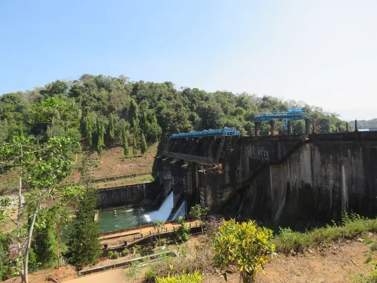
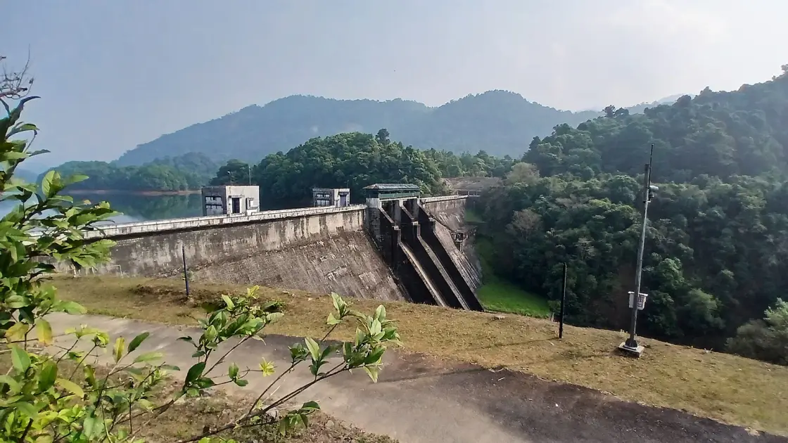
Kakkayam's modern story is inseparable from hydro-power. The dam impounds the Kuttiyadi river as the storage reservoir of the Kuttiyadi Hydro Electric Project — and the lake, confusingly, carries the river's name rather than the village's: KSEB calls it the Kuttiady reservoir. From the dam, water is led through a power tunnel of about 920 metres and a two-stretch penstock tunnel, then down a surface penstock to the powerhouses roughly 2.8 km away and some 658 metres lower. That is a fall of two Eiffel Towers over under three kilometres, which is why the machines there are Pelton wheels rather than the turbines used on Kerala's lowland dams.

The often-repeated figure of 225 MW is the whole complex, not this dam's powerhouse. KSEB is explicit that the project consists of four power houses totalling 228 MW: the original 1972 station of 75 MW (three 25 MW Fuji Electric units), a 50 MW extension commissioned in January 2001, a separate 100 MW additional extension in a new building in October 2010, and a 3.75 MW tail race scheme, with a further 3 MW plant listed as under construction. The board bolted to the dam does not print 225 anywhere — it lists the machine groups separately, and visitors and copywriters have been summing them into one imaginary generator ever since.

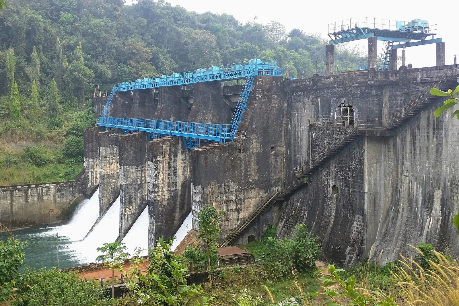
The site is a masonry gravity dam, 39.62 m above bed level and 228.60 m long at the crest, holding about 34 million cubic metres from a catchment of just 39 sq km. Full reservoir level is 758.05 m and minimum draw-down 737.62 m, so the water rises and falls through about twenty metres across a year — which is why photographs from March and from September look like different places. The spent water eventually rejoins the Kuttiyadi and flows about 11 km down to the Peruvannamuzhi reservoir, which the Irrigation Department uses for irrigation and water supply.

Access is split between two authorities and this catches people out. KSEB controls the dam, the reservoir and the dam-site ticket; the Forest Department controls the sanctuary, the trails and the eco-tourism programme, delivered through local Vana Samrakshana Samithis. They are separate tickets at separate counters, which is why quoted entry fees never agree — and separate decisions, which is why after the 2024 closures boating reopened weeks before the trekking did.

The valley's most sombre history belongs to the Emergency imposed across India in 1975–77, and the detail that almost every account omits is what the camp physically was. On 28 February 1976 a group attacked the Kayanna police station, injuring a head constable and three other officers and taking firearms; police assumed a Naxalite action. The primary source disagrees on both the station and the date. K. Karunakaran's second affidavit, quoted verbatim in the Supreme Court's judgment in K. Karunakaran v. T. V. Eachara Warrier (16 November 1977), refers to “the attack by some persons on Kakkayam Police Station on 29-2-1976”. 1976 was a leap year, so that date exists. We give Kayanna and 28 February because that is what the general accounts say, but a signed affidavit in the law reports names a different station and a different day, and we are not going to pretend the point is settled. The investigation went to DIG Jayaram Padikkal, who chose not to run it from a police station but from a camp deep in the Kakkayam forest — in a long tin- or asbestos-roofed building that the Electricity Board had put up to store electrical equipment, with a pond in front of it. Rajan's father, in his memoir, calls it simply the shed on the hill by the pond. The most notorious interrogation centre of the Emergency in Kerala was a piece of this dam's own plant, four years after the power station opened.

On 1 March 1976 P. Rajan, a student of the Regional Engineering College, Calicut — now NIT Calicut — was taken into custody along with a fellow student, Joseph Chaaly, and brought here. He died on 2 March 1976, one day after his arrest, under uruttal, the rolling of a heavy wooden log over the body, in torture led by Sub-Inspector Pulikkodan Narayanan. Roughly two hundred people are thought to have passed through the camp, many with no connection to the Kayanna attack. Rajan's body was never recovered. Two accounts survive and they disagree: that it was weighted and put into the Kakkayam reservoir, or that it was burnt and the ashes scattered at Urakkuzhi Falls. Both describe this landscape; neither has been established.

What followed became one of India's landmark civil-liberties cases. Rajan's father, T. V. Eachara Warrier, a retired professor, filed a habeas corpus petition to discover his son's fate — a pursuit that ruined him financially and stirred the conscience of Kerala. The High Court of Kerala delivered its judgment on 13 April 1977; the State had denied Rajan was ever in custody, and the court's findings destroyed that position. A memo on his whereabouts was filed on 19 April, and the Supreme Court rejected the appeal against the judgment on 25 April 1977.

The political consequence is sharper than it is usually told. K. Karunakaran, Home Minister through the Emergency, became Chief Minister of Kerala on 25 March 1977 and resigned in late April 1977, around the day the Supreme Court closed off his appeal. The Supreme Court's own judgment says “It appears that Shri Karunakaran resigned as Chief Minister after the judgment of the High Court in the habeas corpus petition on April 26, 1977”, and the sentence is ambiguous about which event 26 April attaches to. What is certain from that judgment is that the special leave petition was rejected on 25 April 1977. The former “exactly one month later, to the day” flourish has been dropped: it was doing work the evidence does not support. (Some sources, including Wikipedia's article on the case, date the resignation to 1978; that is wrong.) Litigation ran on for decades afterwards. Warrier's memoir won the Kerala Sahitya Akademi award in 2004 and appears in English as Memories of a Father, and the camp has since reached the screen more than once. There is no memorial at the dam site.

The Kakkayam torture camp and the Rajan case have since been memorialised in books, journalism and Malayalam cinema, and they remain a defining reference point when Indians discuss the abuses of the Emergency. For the traveller, this means Kakkayam is a place of two truths held together — a spectacularly scenic Western Ghats reservoir, and a site whose forests witnessed a documented tragedy that Kerala has chosen never to forget.

Why visit

Dramatic Western Ghats gorge scenery — a large green reservoir at around 750 metres elevation, hemmed by steep, forested ranges and drifting cloud, with sweeping views from the dam bund.

One of Kerala's best high-country trekking bases, with the Forest Department's guided eco-tourism walks into the reserve and Urakkuzhi Falls barely 630 metres from the dam.

Rich Malabar biodiversity inside the Malabar Wildlife Sanctuary — wild elephants, gaur (bison), deer, birds, butterflies and rare orchids and medicinal plants.

Calm-weather boating on the reservoir, run by KSEB's hydel tourism arm, for a water-level sense of the scale of the ranges (subject to conditions).

A genuinely off-beat, uncommercialised destination — a working KSEB hydro-power site rather than a crowded tourist park, so it rewards travellers who like quiet, wild places.

A place of real historical significance: the forests here hold the memory of the Emergency-era Kakkayam camp and the Rajan case, giving a visit unexpected depth for those interested in modern Indian history.
What to expect

Highlights

  • Reservoir, dam and forested viewpoint day trip in the Kozhikode high ranges.
  • Pairs with Urakkuzhi, Kariyathumpara, Peruvannamuzhi and plantation/foothill routes.
  • What you arrange on the ground here: drivers, homestays, food stops, guides and nature trips.
Getting there

How to visit

  • Visit from Kozhikode city, Balussery or nearby foothill stays with an early start.
  • Use the forest or hydel-tourism booking notice for ticket and permission rules, and check district road alerts before leaving.
  • Keep fuel, water and food plans conservative because services thin out near the forest side.

Distance by road

  • Coimbatore180 km
  • Kochi182 km
  • Mysuru209 km
  • Mangaluru233 km
  • Bengaluru349 km

Road km to Kozhikode; ghat roads and traffic vary — allow extra.

Timing

Best time

Post-monsoon to winter is generally best for views and road comfort. Heavy rain can affect roads, reservoir-side access and waterfall safety.

Weather in Kakkayam DamSeasonal guide

Live forecast loads in your browser.

Today at Kakkayam Dam
Sunrise6:16 am
Sunset6:25 pm
Golden hour best light5:25 pm–6:25 pm
Blue hour after sunset6:25 pm–6:50 pm
Sun sets toward compass bearingW · 272°
Moon tonight🌓 First quarter · 53%
South-west monsoon. June to September brings heavy rain to Kerala. Trails, falls and ghat roads can be slippery, swollen or closed at short notice, and forest departments sometimes suspend access. Check locally on the day before you travel.

Check the official alert before you travel. Kerala’s beaches, waterfalls and trekking routes close at short notice during heavy rain, and district alert levels change day to day. We do not publish an alert level of our own — read it from the state authority: Kerala State Disaster Management Authority, or the district control room on 1077.

Sun and moon are calculated for this location and shown in IST. Photography windows are the hour around sunrise and sunset; the sunset bearing is degrees clockwise from true north. Moon phase is accurate to about half a day.

Visitor notes

  • This is not a nightlife or resort-strip destination; plan it as a daylight nature drive.
  • Facilities are spread out, so find the toilets and the food stops on the map before setting out with a family.
  • Kakkayam, Balussery, Peruvannamuzhi and Kozhikode city are a long way apart. Check which one an address is in.
Safety

Good to know

  • Follow dam, forest and viewpoint restrictions strictly.
  • Avoid exposed edges, closed trails and rough-water areas.
  • Do not drive unfamiliar ghat/forest roads after dark or in heavy rain.
Official eco & forest programmes

Experiences around Kakkayam Dam

These are official or public-sector eco offerings that match this place, town or forest destination. Confirm availability, permits, tariffs and reporting times with the official operator before travel.

Kakkayam, Kakkayam Dam
wildlifeviewpointwaterfall

Kakkayam dam and forest visit

Forest Department sightseeing in the Kakkayam reservoir landscape. Ask the local counter which Urakkuzhi paths and viewpoints are admitted; reservoir boating is a separate service.

Kerala Forest Department
Official source →
Peruvannamuzhy, Kakkayam Dam
boatingwildlifeviewpoint

Peruvannamuzhy eco visit

Lake and forest-edge destination in Kozhikode district, included in Kerala Tourism’s ecotourism destination list.

Kerala Forest Department / local tourism authorities
Official source →
Nadapuram Mudi, Kakkayam Dam
trekviewpoint

Nadapuram Mudi trek

Hill trek/viewpoint landscape where district borders meet, listed by Kerala Tourism as an ecotourism destination.

Kerala Forest Department / local tourism authorities
Official source →
Stay · eat · do · rent · see · shop

Stays, food & things to do near Kakkayam Dam

Verified hotels, homestays, restaurants, experiences, sights, shops and rentals around Kakkayam Dam — commission-free, with direct contact. Filter by what you need.

1 place to eat near Kakkayam Dam

L
Le Montigo Restaurant Kakkayam
Where to eat
Top pick Verified
Resort restaurant · Kakkayam
Le Montigo Restaurant Kakkayam

Restaurant and resort dining at Le Montigo near Koorachund, Thonikkadavu and the Kakkayam route. Kakkayam, eat, Resort restaurant.

Directions Commission-freeView details

Book with the place itself. India’s cyber-crime coordination centre warned in April 2025 that convincing copies of hotel and pilgrimage booking sites are being pushed through sponsored search and social ads, taking payment for rooms the property never hears about. Every listing here links to the business’s own contact details and its own Google or Bing profile — we take no commission and sit in nobody’s payment path. If a booking page reached you through an ad, check the address bar against the property’s own site before you pay. Fraud can be reported on cybercrime.gov.in or on 1930.

Ranked

More ways to explore Kakkayam

Find food, accommodation and activities across Kakkayam. Browse the guides for places to eat, stay and explore along your route.

Across the whole of Kakkayam

Ranked guides

Top experiences around Kakkayam

4 more places around Kakkayam. Open a guide to plan the visit and onward journey.

wildlifeMalabar Wildlife Sanctuary

6.4 km · ~16 min by auto

Kozhikode’s last evergreen forest block, notified in 2009 under section 18(1) as a declaration of intention and never finally declared — there is no gate, no permit and no wildlife programme, and you cannot go in.

damPeruvannamuzhi Dam

12.1 km · ~20 min by cab

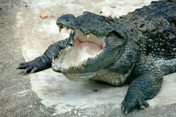
Irrigation reservoir and boating spot in the Kozhikode high ranges, with a 1977 government crocodile breeding centre on the shore.

activityKariyathumpara

3.7 km · ~9 min by auto

A ticketed riverside bathing and picnic centre on Irrigation Department land where the Kuttiyadi runs over a bedrock sheet into the head of the Peruvannamuzhi backwater — at 57 m, with no drop and no forest permit, but a serious drowning history.

trekKakkayam trek

3.1 km · ~8 min by auto

The managed forest outing towards Urakkuzhi Falls above Kakkayam, distinct from reservoir boating. Confirm the admitted route with the forest counter: recent reports describe restrictions at the waterfall viewpoint and Shankaranpuzha.

Roampedia is commission-free — own or know a stay, eatery, guide or shop near Kakkayam Dam? List it and it appears here once verified.

Add a nearby business
Before you go

Kakkayam Dam — at a glance

TimingsGenerally daytime only, commonly around 10:00 to 17:00, with a Forest/KSEB checkpost on the approach road.
Best timeRoughly October to March for clear, cool weather and safe trekking; avoid the heavy June–September monsoon for walking, though the falls are fullest then.

Entry: Modest ticket, commonly around ₹20–₹40 for Indian adults, ₹10–₹20 for children and about ₹60 for foreign visitors; treks and boating are charged separately.

Dress code: No formal dress code, but dress for a rugged forest hill site: sturdy shoes with grip, full-cover clothing against sun and leeches, and a light rain layer. Modest, practical wear is best.

Photography: Photography of the scenery is generally welcome; as this is an active KSEB hydro-power installation, avoid photographing dam machinery/security areas and follow any on-site signage or staff instructions.

Getting here

How to reach Kakkayam Dam

  • ✈︎ By air Nearest airport is Calicut International Airport (Karipur), roughly 65–80 km away by road; hire a taxi onward via Balussery and Koorachundu.
  • 🚆︎ By train Nearest major railhead is Kozhikode (Calicut) railway station, roughly 55–65 km away; continue by taxi or bus-plus-taxi into the hills.
  • 🚗︎ By road From Kozhikode city, about 50–65 km via Balussery, Koorachundu and the plantation belt towards Peruvannamuzhi/Kayanna, then a winding climb to the dam site through a Forest/KSEB checkpost; a private vehicle is the most reliable option.
  • 🚌︎ By bus KSRTC and private buses run from Kozhikode towards Balussery, Koorachundu and Kayanna, but services thin out near the hills; the final stretch to the dam is best covered by hired taxi or auto.
Getting back

If you are travelling by bus or ferry, check the return service with the operator before setting out. Leave time to reach the stop or jetty after your visit.

Ask at the bus stand for the time of the last service back, not the next one. If you miss it, an auto or app cab is the fallback — agree the fare before you get in.

Do

Things to do

  • Take in the reservoir and gorge from the dam bund, one of the finest Western Ghats views in the Kozhikode highlands.
  • Walk the permitted forest trails above the reservoir for panoramic vistas (permit/guide as required).
  • Join the guided eco-tourism trek towards Urakkuzhi Falls to see the water pour through its rock chute into clear pools.
  • Go boating on the calm reservoir in fair weather for a different perspective of the ranges (subject to conditions and charges).
  • Watch for Malabar wildlife — elephants, gaur, deer, birds and butterflies — and look out for rare orchids on the forest edge.
  • Picnic at the shaded dam-site areas, keeping to permitted zones and carrying your litter out.
Getting around Kakkayam Dam

If you need step-free access, contact the site before travelling. Ask about a level entrance, steps along the route, the nearest drop-off point, seating and accessible toilets.

Nearby

What’s near Kakkayam Dam

trekKakkayam trek

The managed forest outing towards Urakkuzhi Falls above Kakkayam, distinct from reservoir boating. Confirm the admitted route with the forest counter: recent reports describe restrictions at the waterfall viewpoint and Shankaranpuzha.

3.1 km · ~8 min by auto · straight line
activityKariyathumpara

A ticketed riverside bathing and picnic centre on Irrigation Department land where the Kuttiyadi runs over a bedrock sheet into the head of the Peruvannamuzhi backwater — at 57 m, with no drop and no forest permit, but a serious drowning history.

3.7 km · ~9 min by auto · straight line
wildlifeMalabar Wildlife Sanctuary

Kozhikode’s last evergreen forest block, notified in 2009 under section 18(1) as a declaration of intention and never finally declared — there is no gate, no permit and no wildlife programme, and you cannot go in.

6.4 km · ~16 min by auto · straight line
damPeruvannamuzhi Dam

Irrigation reservoir and boating spot in the Kozhikode high ranges, with a 1977 government crocodile breeding centre on the shore.

12.1 km · ~20 min by cab · straight line
trekThusharagiri Waterfalls trek

Forest Department waterfall trails near Kodencherry in Kozhikode: distinguish the ordinary waterfall entry, the Thumbithullumpara route and the separately approved Thenpara interior-forest trek.

16.4 km · ~27 min by cab · straight line
waterfallTusharagiri Waterfalls

Waterfall and trekking area in the foothills east of Kozhikode.

16.6 km · ~28 min by cab · straight line
waterfallArippara Waterfalls

Arippara is a sequence of rocky cascades on the Iruvanjippuzha near the Thiruvambady–Anakkampoyil route, with a visitor approach beside a hanging bridge; it is separate from Thusharagiri.

18.3 km · ~31 min by cab · straight line
trekVellarimala trek

Vellarimala is the mountain range above Muthappanpuzha, extending across Kozhikode and Wayanad. The arrival pin identifies Muthappanpuzha village, not the summit or an authorised trail entrance.

21.3 km · ~35 min by cab · straight line
heritageKoyilandy

The medieval port of Panthalayani Kollam — Ibn Battuta’s Fandarayna, where Chinese junks wintered, and the anchorage where da Gama’s fleet lay 88 days in 1498. Nothing of the port survives above ground; the working fishing harbour is what you come for.

28.5 km · ~48 min by cab · straight line
beachKappad Beach

Historic beach associated with Vasco da Gama’s arrival on the Malabar coast.

29.1 km · ~49 min by cab · straight line
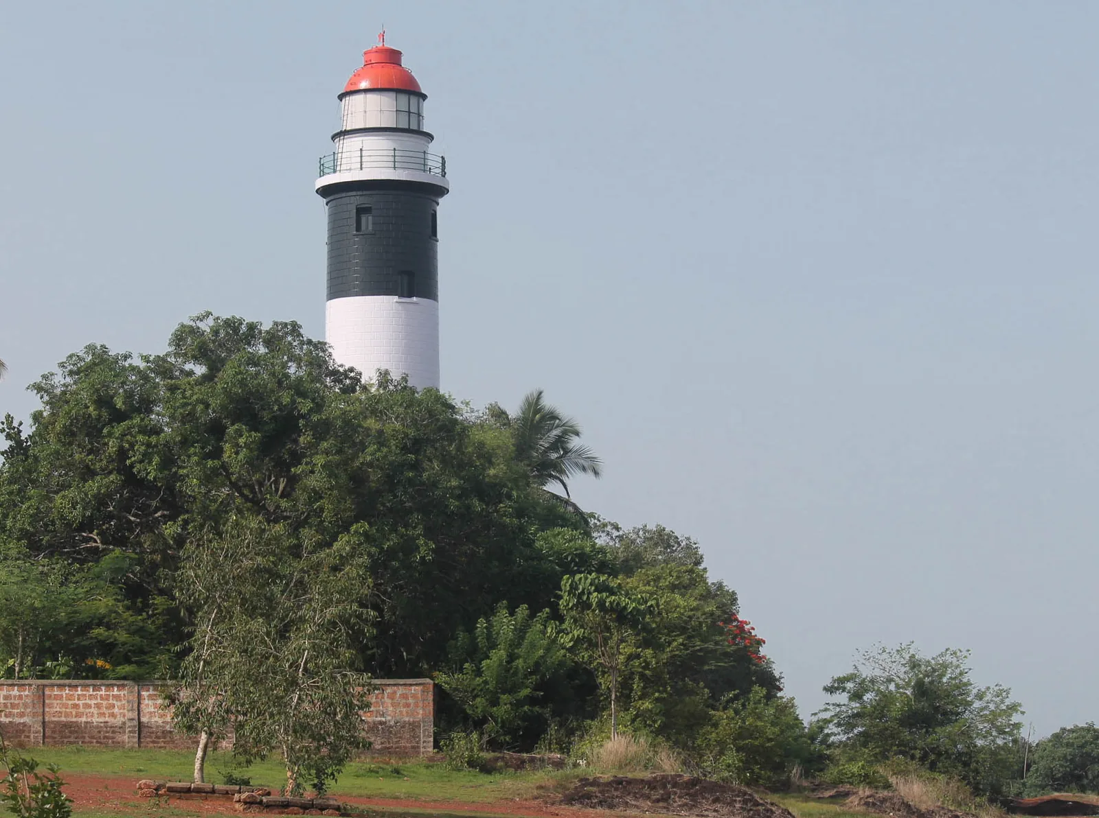
viewpointThikkoti Lighthouse

A 1909 lighthouse on the laterite headland at Kadalur Point, built to mark the submerged Sacrifice Rock eight kilometres offshore.

32.6 km · ~54 min by cab · straight line
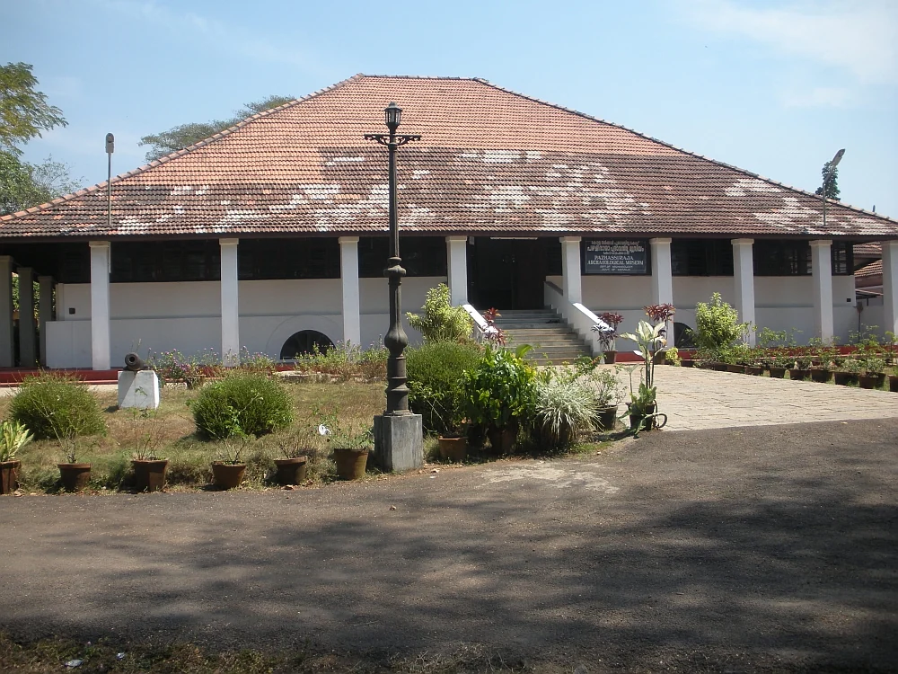
museumPazhassi Raja Museum

State archaeology museum at East Hill in an 1812 bungalow, with murals, bronzes, coins and megalithic monuments.

32.9 km · ~55 min by cab · straight line

All 5 places to visit in Kakkayam →

On the map

Where Kakkayam Dam is

Good to know

Kakkayam Dam — frequently asked

What is the best time to visit Kakkayam Dam?

The most comfortable months are roughly October to March, when the monsoon has filled the reservoir and the weather is cool and clear for trekking. The Western Ghats monsoon (about June to September) brings heavy rain, leeches, slippery trails and possible closures of the deeper forest treks, so it is best avoided for walking, even though the waterfalls are at their fullest.

Is there an entry fee, and are permits needed?

Yes. A modest ticket applies at the eco-tourism/dam site — commonly around ₹20–₹40 for Indian adults, roughly ₹10–₹20 for children and about ₹60 for foreign visitors. Because Kakkayam is reserve forest and an active KSEB reservoir, entry and the guided treks are controlled by the Forest Department and KSEB; deeper trekking needs permission and often a guide arranged through the Divisional Forest Office, Kozhikode. Always confirm current fees, permits and whether packages are running before you travel, as they change with the season and conditions.

What are the timings?

The site and eco-tourism activities generally operate in daytime hours, commonly around 10:00 to 17:00. There is a Forest/KSEB checkpost on the approach road, so arrive with time in hand; late-afternoon entry may not be permitted, and the forest treks are day-only for safety.

What is the trekking like, and is it safe?

Kakkayam offers rewarding but rugged walking through dense forest, on the permitted trails towards Urakkuzhi Falls and the ridges above the reservoir. One warning worth having in advance: Kariyathumpara, which tourism copy widely sells as a viewpoint you trek to from here, is not a trek objective at all — it is a village about 3.4 km south-west, down towards the powerhouse, that you drive past on the way in. The walking is safe when done sensibly: go with the official guided eco-tourism programme or a Forest Department guide, stick to permitted trails, and heed advice about wild elephants and gaur in the area. Avoid trekking in heavy monsoon (slippery rock, leeches, flash flow) and never wander into closed forest zones alone.

How do I reach Kakkayam Dam?

Kakkayam is roughly 50–65 km from Kozhikode city by road, reached via Balussery, Koorachundu and the plantation belt towards Peruvannamuzhi/Kayanna. The nearest railhead is Kozhikode (Calicut) and the nearest airport is Calicut International Airport (Karipur). From the last village a further mountain drive brings you to the dam site; a private vehicle or hired taxi is the most reliable way in, as public transport thins out near the hills.

What historical significance does Kakkayam have?

During the 1975–77 Emergency, a police interrogation camp operated in the Kakkayam forest. It is remembered for the Rajan case — the 1976 custodial death of P. Rajan, an REC Calicut student, after torture — which became a landmark civil-liberties case in India and contributed to the resignation of Chief Minister K. Karunakaran in 1977. The story is widely documented in books, journalism and Malayalam cinema.

When is the best time to visit Kakkayam Dam?

Post-monsoon to winter is generally best for views and road comfort. Heavy rain can affect roads, reservoir-side access and waterfall safety.

What are the entry fee and timings at Kakkayam Dam?

Entry: Modest ticket, commonly around ₹20–₹40 for Indian adults, ₹10–₹20 for children and about ₹60 for foreign visitors; treks and boating are charged separately. Timings: Generally daytime only, commonly around 10:00 to 17:00, with a Forest/KSEB checkpost on the approach road.

How much time do I need for Kakkayam Dam?

Half day from nearby bases; full day from Kozhikode city if adding multiple stops.

What else is near Kakkayam Dam?

Nearby you can pair Kakkayam trek (3.1 km), Kariyathumpara (3.7 km), Malabar Wildlife Sanctuary (6.4 km), Peruvannamuzhi Dam (12.1 km).

What should I know before visiting Kakkayam Dam?

Follow dam, forest and viewpoint restrictions strictly. Avoid exposed edges, closed trails and rough-water areas. Do not drive unfamiliar ghat/forest roads after dark or in heavy rain.

Read before you go

Kakkayam Dam guides, stories & itineraries

Stories & history of Kakkayam Dam

Written about Kakkayam Dam itself — its history, its legends and the arguments about them.

Around Kakkayam

These guides explore Kakkayam and the surrounding area. Choose a visit that fits your interests, allowing separately for travel between stops.

Kerala-wide guides & itineraries

Route-level itineraries and practical guides for the rest of Kerala.

See all 87 Kozhikode guides & stories →

Image credits

Photographs: Nativeplants garden (CC BY-SA 4.0), Vinayaraj (CC BY-SA 4.0), Vengolis (CC BY-SA 4.0), Azeezrealview (CC BY-SA 4.0), Dhruvaraj S (CC BY 2.0), Mutuluki (CC BY-SA 3.0). Wikimedia Commons.