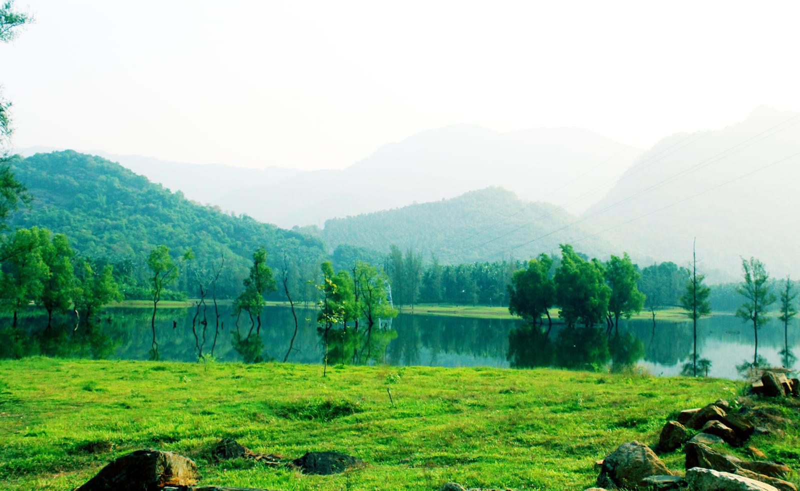
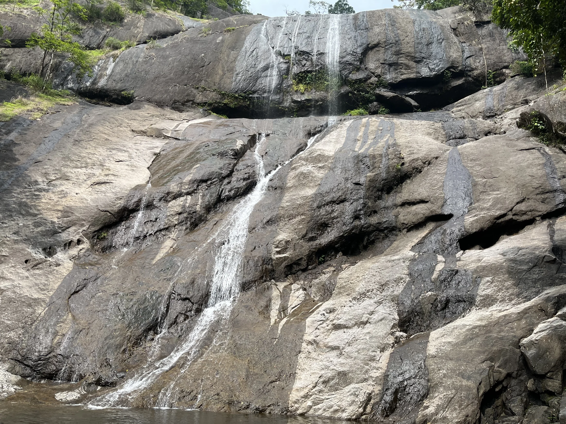
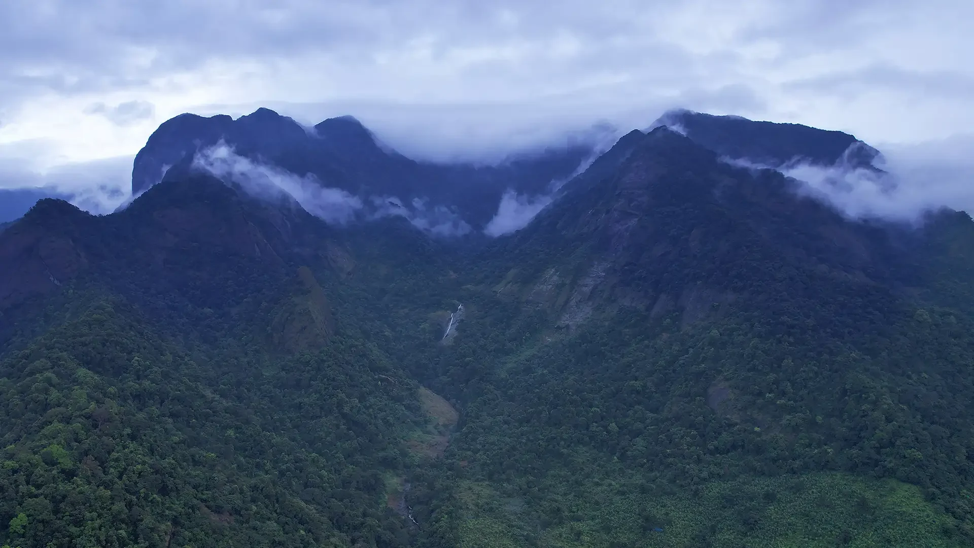
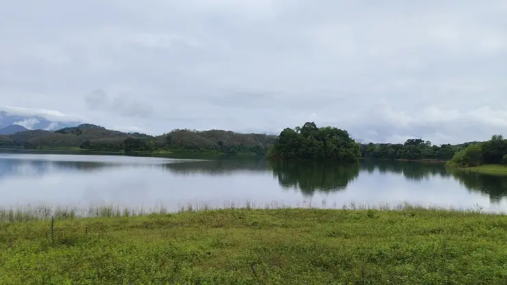
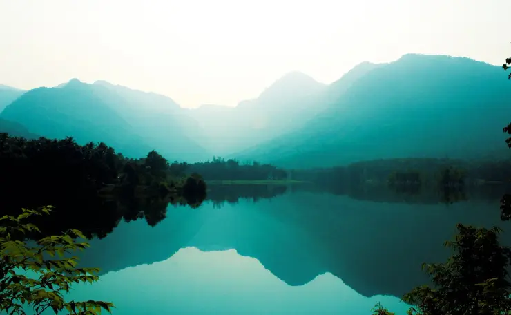
At Kakkayam, water has two very different shapes. Across the reservoir it opens into a broad surface between wooded hills. Near Urakkuzhi it gathers between pale rock walls and disappears into a much steeper fall. The forest outing is about that change in scale.
The story of Kakkayam trek
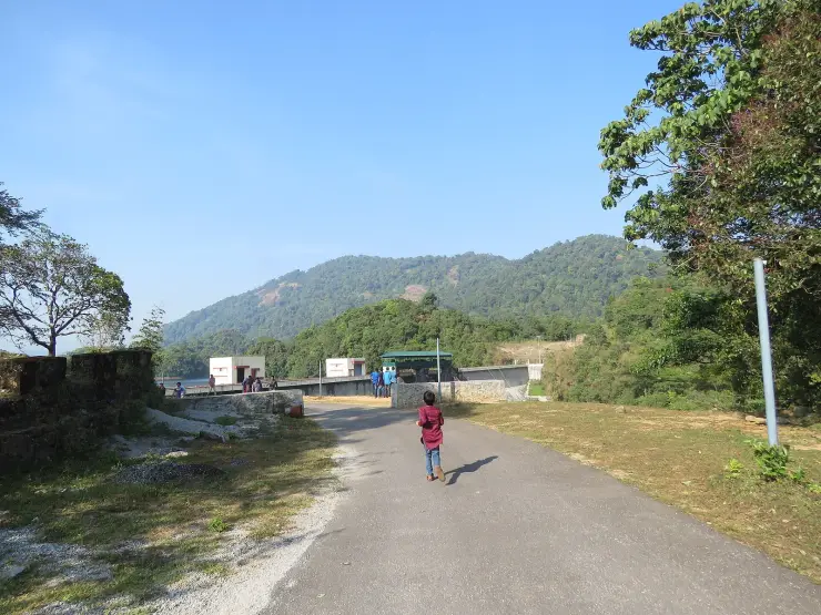
The upper visitor landscape sits beyond lower Kakkayam town. The town and information point provide the practical arrival; the dam-site road takes the journey into wooded country. This separation matters on a bus itinerary. Reaching Kakkayam by public transport does not mean stepping off beside the waterfall, and a driver needs to know whether the day’s destination is the forest visitor area or the hydel-tourism facility.
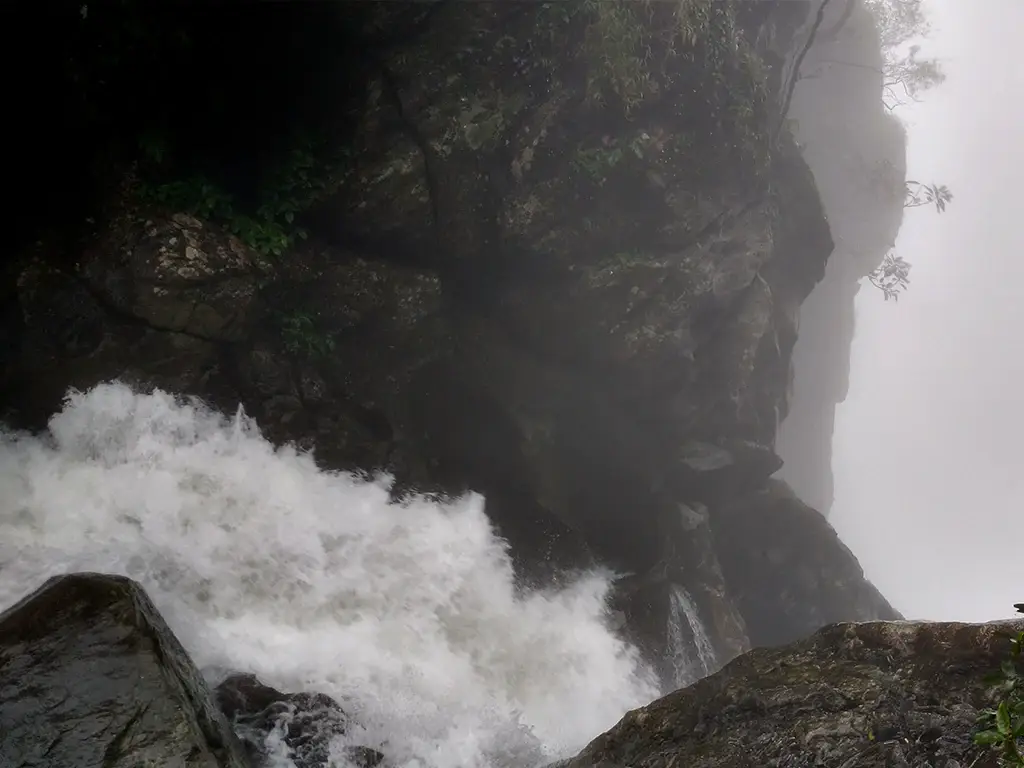
Urakkuzhi is the named waterfall associated with the forest walk. Kerala Tourism’s photograph shows white water descending beside steep dark rock into spray, with the view looking down rather than across a broad open plunge pool. That shape helps explain why a viewpoint or bridge changes what can be seen. The whole fall cannot be treated as a roadside cascade visible equally well from any nearby position.
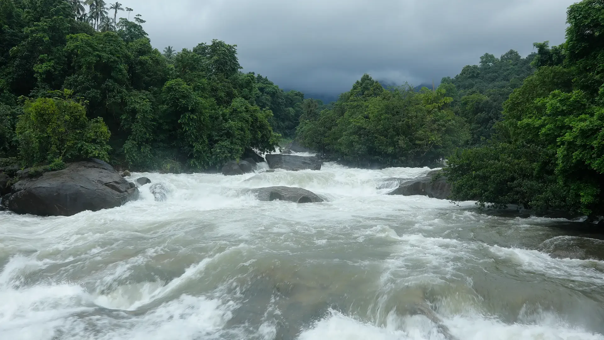
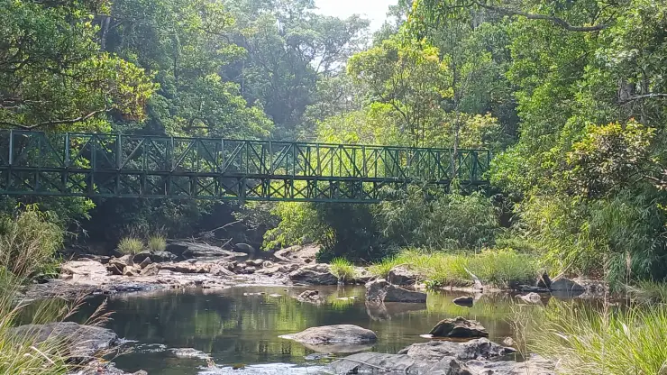
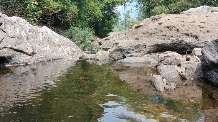
Above the drop, water moves through rounded pale rock, tree-enclosed pools and the channel beneath a green metal footbridge. The enclosed stream makes a strong contrast with the open reservoir nearby. Follow the admitted path through this area; Shankaranpuzha and the Urakkuzhi viewpoint have been subject to access restrictions, so the water and bridges visible in older photographs may lie beyond the current visitor limit.
The older Urakkuzhi hanging bridge was damaged by flooding. The Forests and Wildlife performance budget for 2023–24 discusses a glass-bridge replacement and other visitor improvements, while listing a suspension bridge and electric-vehicle provision as requirements. These were development proposals. Before setting out, obtain the current route and return point from the forest counter, including which crossing or platform is admitted.
The forest setting belongs to the wider Malabar Wildlife Sanctuary landscape. Its conservation significance extends beyond the small visitor area: the wooded slopes and watercourses are habitat and catchment, not spare ground around a tourism facility. The visitor route gives access to a limited part of that landscape while retaining the distinction between a managed outing and travel through the wider forest.
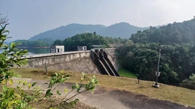
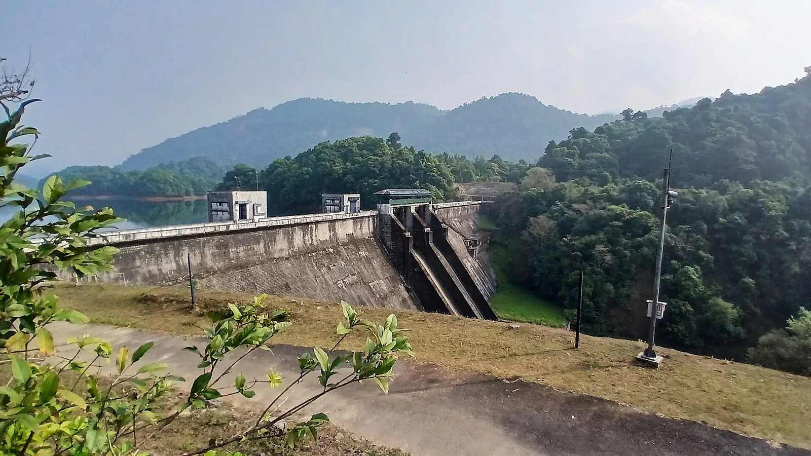
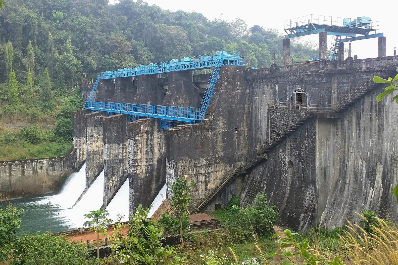
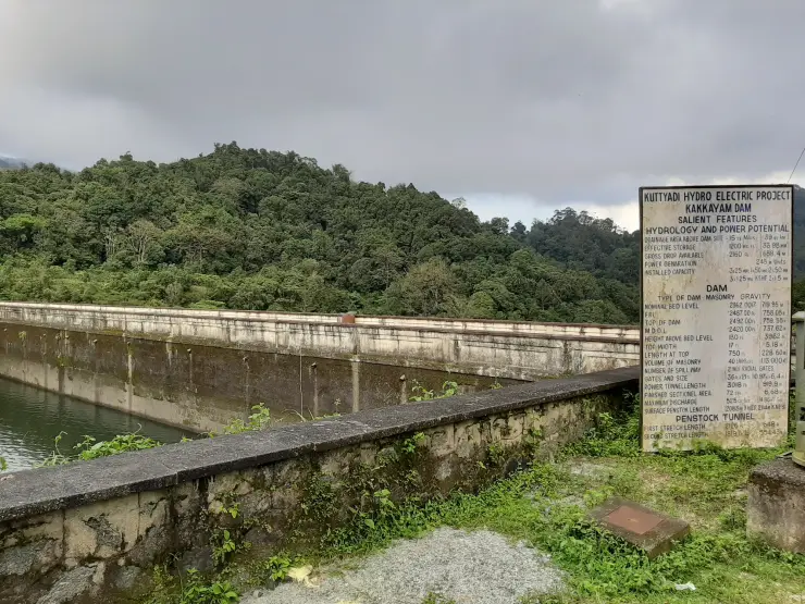
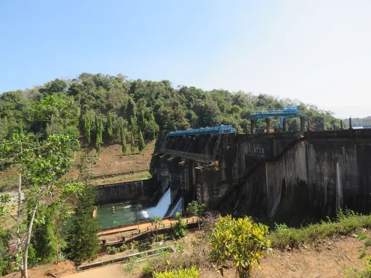
Kakkayam is also an engineering landscape. KSEB calls the structure here Kuttiady Dam, locates it at Kakkayam in Koorachund, and records 1972 as its completion year. The reservoir supplies a hydroelectric system with generating stations and later downstream water uses. The dam, the lake and the forest path therefore have different functions even when they appear together in a single day’s photographs.
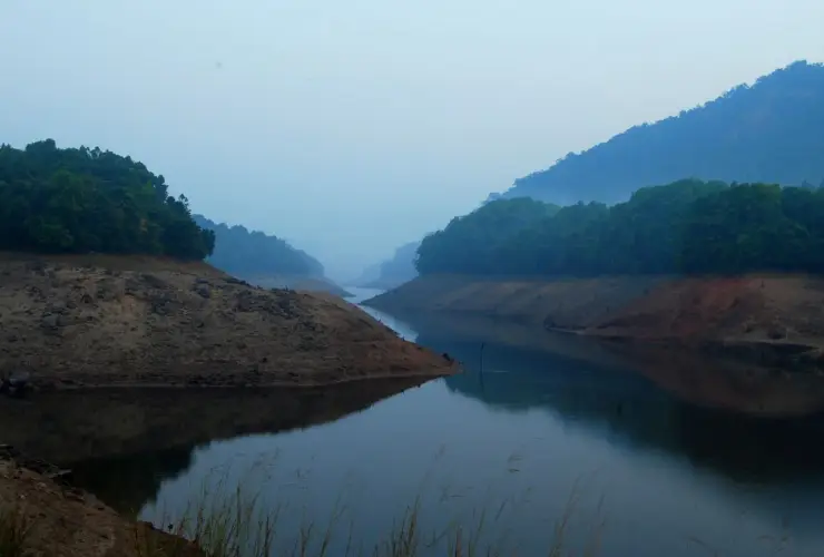
Bare bands of earth below a more permanent vegetation line reveal the reservoir’s changing waterline. Wooded promontories divide the stored water into smaller reaches, so the view alters as the shore turns. These margins are part of a working reservoir. Observe them from the admitted viewpoint; the exposed strips are not established walking routes.
Boating brings another perspective, but it is a separate visitor product. Kerala Tourism associates the reservoir boat journey with the Kerala Hydel Tourism Centre and describes views towards Ambalappara Falls. Ambalappara is not another spelling for Urakkuzhi. A boat itinerary through the reservoir cannot substitute for confirmation about the forest path, and a closed walking viewpoint does not by itself describe the boat service’s status.
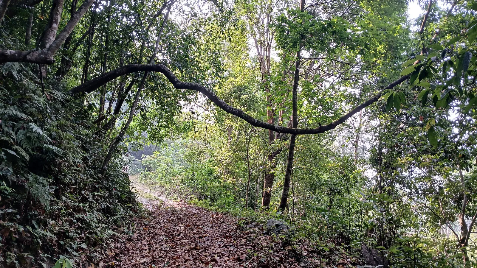
The forest outing rewards attention to small changes when it is admitted: the canopy closing over a channel, the contrast between smooth rock and rough bark, or the sound of water before the drop comes into view. There is no need to make a rare animal sighting the test of the visit. Keeping the group together and following the guide’s pace leaves more room to observe these details.
The botanical interest can be much smaller than the trees. Researchers described Sonerila malabarica from dripping rocky habitats in Malabar Wildlife Sanctuary, in a paper published online in December 2016. Its delicate stem and underground tuber are features of a plant adapted to a particular wet-rock setting. The research adds another reason to respect the seepage margins beside a forest route: apparently bare rock can support specialised living communities.
The Forest Department’s current booking catalogue calls the Kakkayam product sightseeing, with Urakkuzhi waterfall and the dam in the package name. That wording is useful when comparing it with older articles titled Kakkayam trek. A visitor should identify the actual route being admitted that day rather than assume the catalogue promises a long-distance guided hike. The counter can explain where a vehicle stops, which path is available and the return point for the outing. These details determine whether the programme suits the group.
The contrast between the reservoir and stream is especially clear in the gallery. One frame looks across broad water towards a wooded landform, while another shows a narrow channel interrupted by pale rock and crossed farther away by a footbridge. The first view is about the arrangement of hills around stored water; the second draws attention to the channel itself. They are two scales within the same catchment, and each can be observed without approaching an unprotected edge.
The canopy around Kakkayam forms part of Malabar Wildlife Sanctuary’s varied forest cover. KSEB’s environmental assessment describes hilltop evergreen, tropical evergreen, semi-evergreen and moist deciduous vegetation across the sanctuary. Its surrounding land-use survey also records plantation and settlement areas. The journey into the upper visitor landscape therefore crosses a more varied setting than one continuous, uniform band of forest.
The sanctuary belongs to the Wayanad Elephant Reserve, although the Kakkayam visitor entrance is in Kozhikode district. That conservation geography crosses the district labels used for travel planning. KSEB’s assessment lists elephant and Malabar giant squirrel among the wider sanctuary fauna. Treat such records as a reason to value the habitat, rather than a checklist that the short visitor route must deliver.
Kakkayam has also given its name to a frog. Sonali Garg and colleagues described Raorchestes kakkayamensis in 2021, using specimens collected here; the Zoological Survey of India records the locality and the name’s origin in Animal Discoveries 2021. The common name is Kakkayam Shrub Frog. Its scientific description connects this small part of Kozhikode with the continuing discovery of Western Ghats biodiversity, a quieter story than the larger mammals that usually dominate a forest itinerary.
The original study compared body form, genetic relationships and calls across shrub frogs. In the Kakkayam species, the recorded male call differs in its duration and rise from those of close relatives. Such distinctions help researchers separate animals that can look broadly similar to a casual observer. For a visitor, the lesson is to value the variety of the forest’s small sounds without demanding an immediate species identification. This is research about the Kakkayam forest habitat, not an advertised frog encounter or a reason to enter it after visitor hours.
An equally specific plant study followed Atuna indica beside Kakkayam dam. In a 2022 Current Science paper, Kerala Forest Research Institute researchers examined the reproductive difficulties of this Western Ghats tree. It favours slopes beside watercourses and has cream-coloured flowers. Their work recorded flowering, pollinating insects and the later development of fruit, linking the tree’s survival to events that are largely invisible in a broad photograph of the canopy.
The researchers observed flowering in October–December and fruit maturing towards April. Carpenter bees and honeybees were among the pollinators, while insects also damaged developing flowers and fruit. The detailed flowering observations ultimately depended on a single surviving flowering tree, a limitation the authors state clearly. The study is therefore a local account with a defined scope, rather than a calendar for every tree in the forest. It shows why retaining the watercourse, neighbouring vegetation and small animal interactions matters alongside protecting an adult trunk.
KSEB describes a sequence in which stored water leaves Kakkayam reservoir through a water-conductor system to the Kuttiady generating stations in the valley. Water leaving those stations is used again in smaller downstream hydel projects before reaching Peruvannamuzhi reservoir. The engineering connection therefore extends beyond the lake seen by visitors. It joins places that have different public approaches, facilities and names on a road itinerary.
The official dam inventory classifies Kuttiady as a masonry-gravity structure, 50.30 metres high from its deepest foundation and 228.60 metres long. Its spillway has two radial gates, while a separate river outlet serves another operating function. These details help distinguish the dam wall from the intake and other equipment around it. They describe water-control infrastructure; the visitor route runs only through the areas released for public access.
A bus-based day needs a clear handover in lower Kakkayam. Kerala Tourism describes the local market as the public-transport endpoint, with an onward local vehicle for the upper area. Settle that vehicle’s return arrangement before continuing, including whether it waits or returns for a pickup. The forest outing should fit inside the remaining road and bus connections. The lower information point is therefore a useful arrival anchor even for someone whose main interest is the waterfall well beyond it.
For a group with children or someone who finds uneven walking difficult, describe the limitation to staff in practical terms. Ask about the distance actually open, the surface, changes of level, resting opportunities and the point where a vehicle can collect the group. A photograph of a metal bridge does not describe the whole approach to it. If the permitted walk is unsuitable, make a separate decision about an accessible reservoir view or another road stop, using its own access information.
The dam’s information board separates hydrology, the dam itself and the penstock tunnel into different groups. The distinction is useful even without memorising its figures: a drainage area describes the land feeding the reservoir, storage measures water held, and a tunnel length describes part of the route carrying that water onwards. The board photographed in September 2019 also prints imperial and metric units side by side. Read it as an explanation of the installation’s design, while using current KSEB notices for operating conditions; a permanent project board cannot report today’s discharge or visitor access.
Kariyathumpara and Peruvannamuzhi belong to a broader Kozhikode water-landscape itinerary, but they are not stops automatically included in a Kakkayam forest ticket. A driver offering a circuit should name each destination and its separate admission or activity. This is especially useful on a short visit: choosing one confirmed forest outing and a manageable return is more rewarding than reaching several water edges without time to understand where they fit within the hills and hydel landscape.