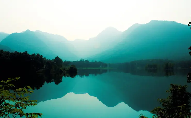
Kakkayam trek

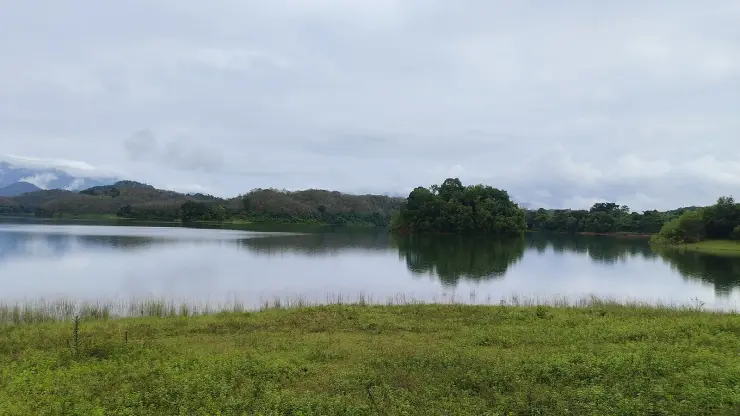
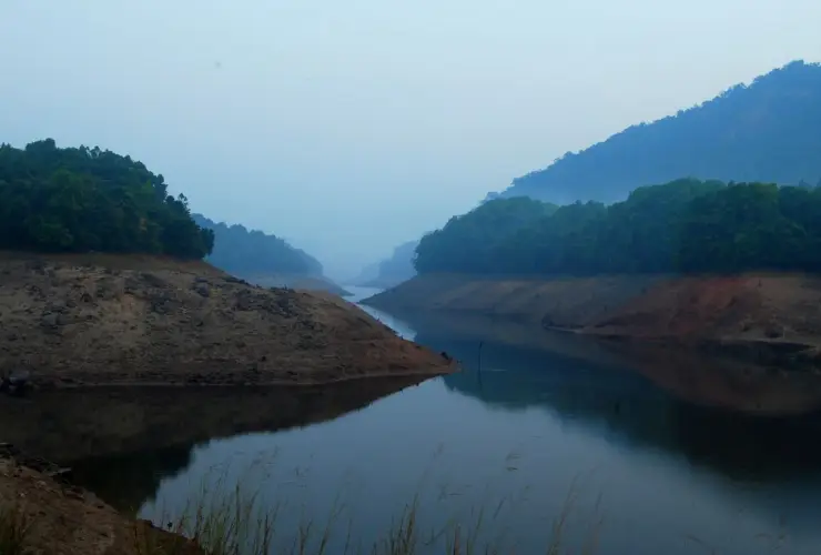
Two-to-three-hour trek around the Kakkayam dam and reservoir through elephant-and-bird forest in the Malabar Western Ghats, north-east of Kozhikode. This trek guide is organized from Kakkayam in Kozhikode district, with practical planning for routes, timing, nearby stays, food, operators and direct local inventory. Use it to compare what to see, how long to spend, when to go and which verified stays, local guides, jeep or taxi operators, food stops, permits and safety-aware activity providers should be verified around Kakkayam trek.

Kakkayam trek, Kakkayam
Practical guide

Plan Kakkayam trek

Who's going?Tailor Kakkayam trek to your trip
Typetrek
Nearest baseKakkayam
DistrictKozhikode
Best timePost-monsoon to late winter is usually…
Time neededHalf day to full day unless officially…
Places to visit5Listed businesses5

Kakkayam trek belongs under Kakkayam, one of the practical travel bases in Kozhikode district. Use Kakkayam for stays, food, local transport and operators, then plan this place as a focused stop rather than an isolated pin.

The story

Kakkayam's trek is one permitted walk, not a network of them: roughly a kilometre from the dam site down to the head of Urakkuzhi Falls, inside the Malabar Wildlife Sanctuary in Kozhikode district. It is guided, ticketed and run by the Forest Department through local forest-protection committees, and it is considerably gentler than its reputation — a descent on a largely made-up track rather than a climb to anything. Two things almost every account gets wrong are worth knowing before you set out. You arrive at the top of the waterfall and look down into it; you never see it from below. And the altitude is 759.55 metres, not the 2,500 metres the state's own tourism portal prints.

The story of Kakkayam trek

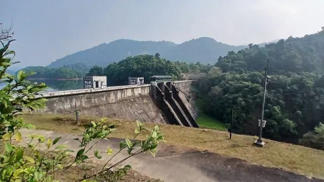
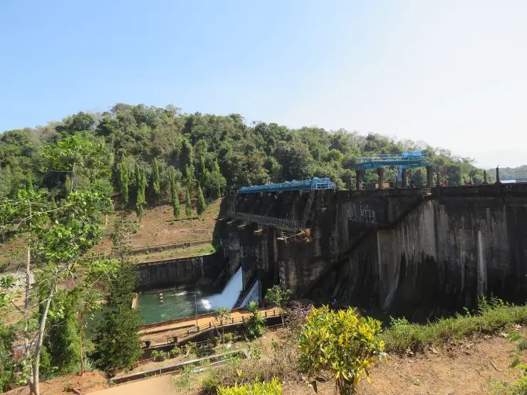
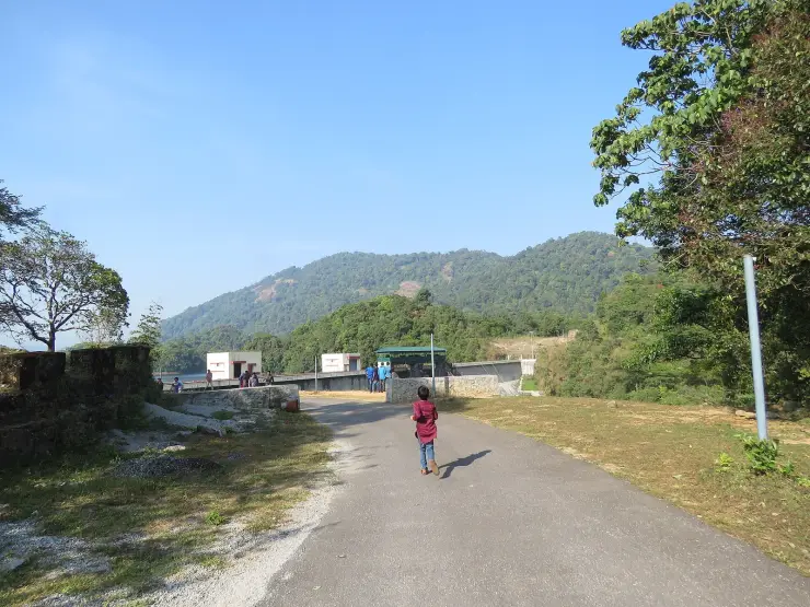
The walk begins where the road stops. From Kozhikode the drive runs through Balussery, Estate Mukku and Koorachundu — about 66 km to Kakkayam by Kerala Tourism's own reckoning, with the dam site a further fourteen kilometres beyond the market, a figure two independent sources give identically. There is a Forest Department checkpost and ticket counter on the way up, and a second KSEB counter at the dam for the reservoir and the boats. Private vehicles stop at a barrier short of the dam and the last stretch is walked, about ten minutes. A seven-seat Forest jeep is usually available for around ₹250, but it runs a separate seven-kilometre forest route and is not the walk to the falls; blogs blur the two constantly. Beyond Kakkayam market there are no shops and no accommodation at the dam, so this is a day trip and nothing else.

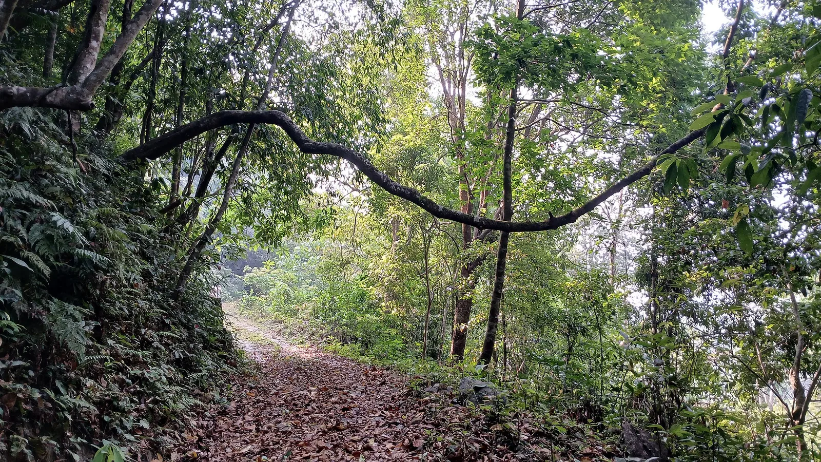
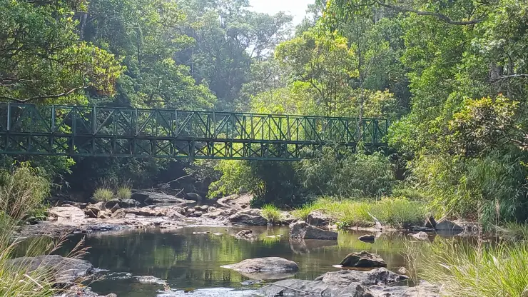
The track itself is the surprise. Malayalam travel writing describes it as barely a kilometre's walk from the dam site, and the surface is a made-up road for almost all of it — one detailed account calls it well paved until the last few metres, which are quite difficult to walk. The straight-line distance from the dam to the falls is about 560 metres; the walked distance is quoted between one and one and a half kilometres, and the difference is switchbacks, not error. A second, unpaved path runs into the forest east of the dam, leaf-littered under closed canopy with ferns standing on the cut bank — that one looks like the jungle trek people imagine when they book. The permitted route to Urakkuzhi mostly does not.

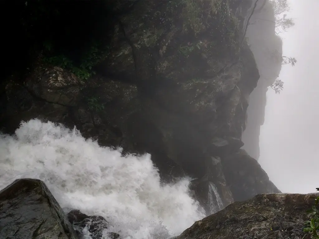
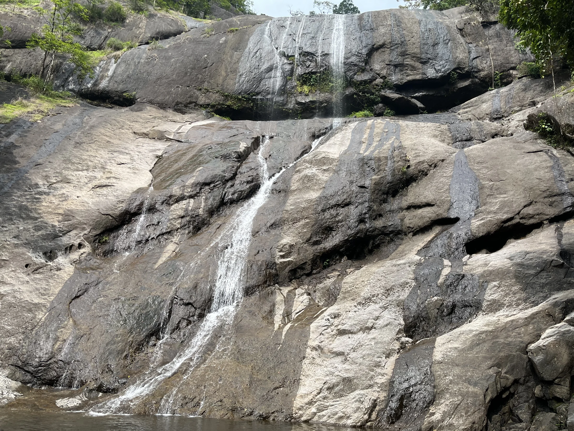
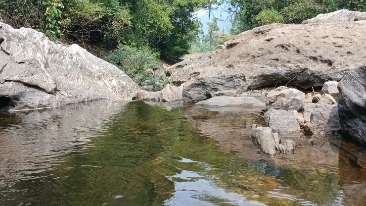
Where you end up is the part the photographs explain better than the copy. The path delivers you onto bedrock at the head of the falls, and the whole difficulty of the outing is concentrated into the final scramble onto that wet rock. Look down and you see what the place is named for: ural, the stone mortar used for husking grain, and kuzhi, a cavity. The river has drilled a bank of mortar-shaped potholes into the rock face, some of them deep enough to sit a person inside, and a thread of white water drops away past them into a gorge that hazes out into forest. It is a genuinely strange piece of geology and a good hour's looking. What it is not is a curtain of falling water photographed from a pool at the bottom. That view does not exist on the permitted route.

Nobody swims here, and the reason is not bureaucratic. Forest staff prohibit it and put the case bluntly rather than legally: if anybody accidentally falls from there, they say, no search operation will be carried out to recover the body. We could find no written government order banning bathing at Urakkuzhi, so we will not claim one — but the physical argument is unanswerable. You are standing on wet, scoured rock at the lip of a drop, above a gorge with no access from below. The Malayalam vernacular for the spot on video is, roughly, the place you do not even get the body back from. Treat the potholes as something to look into, not to get into.

The animals are real and the risk profile is not the one visitors expect. Kakkayam sits inside the Wayanad Elephant Reserve and Kerala Tourism's own ecotourism page says plainly that the prospects of crossing the track of elephants are huge; leopard, sloth bear and the occasional tiger crossing from the Wayanad hills are all reported. But the incidents that actually closed this place in 2024 involved gaur, the Indian bison, and one of them happened in the children's park area rather than deep in the forest. Leeches are the everyday nuisance and they are specific to this terrain: carry salt or a lemon and make the leech let go rather than pulling it off, which leaves the mouthparts in the wound.

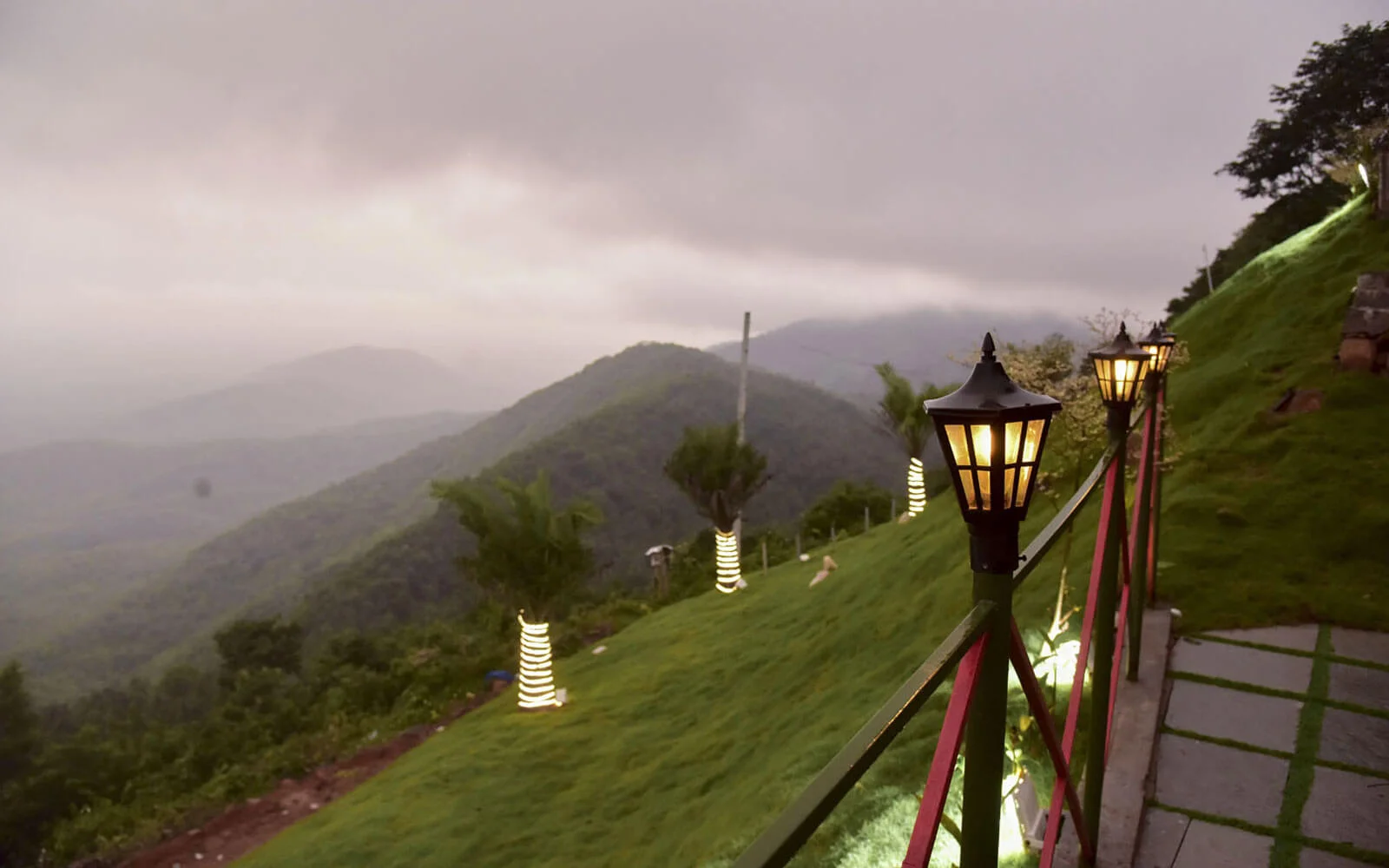
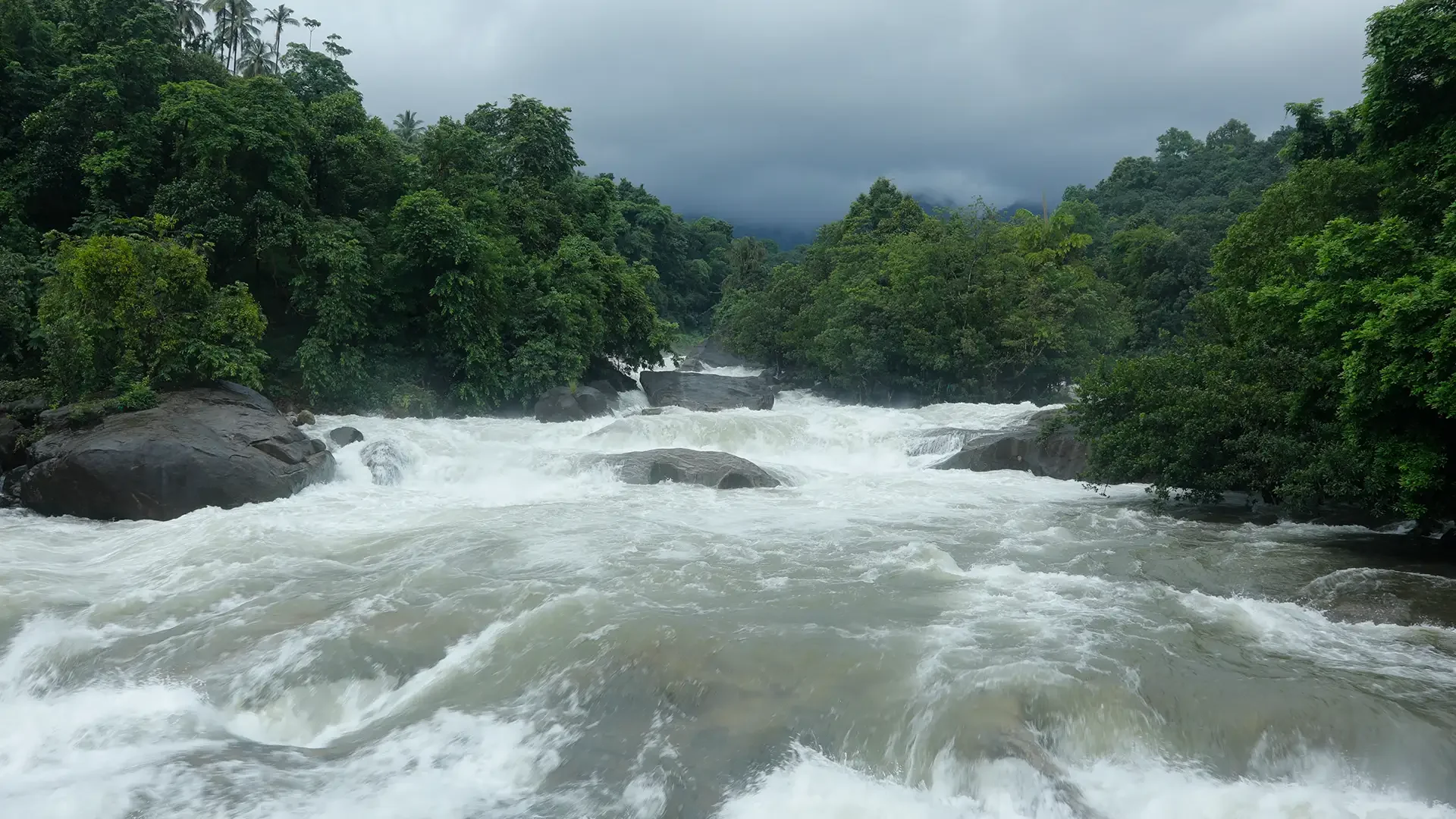
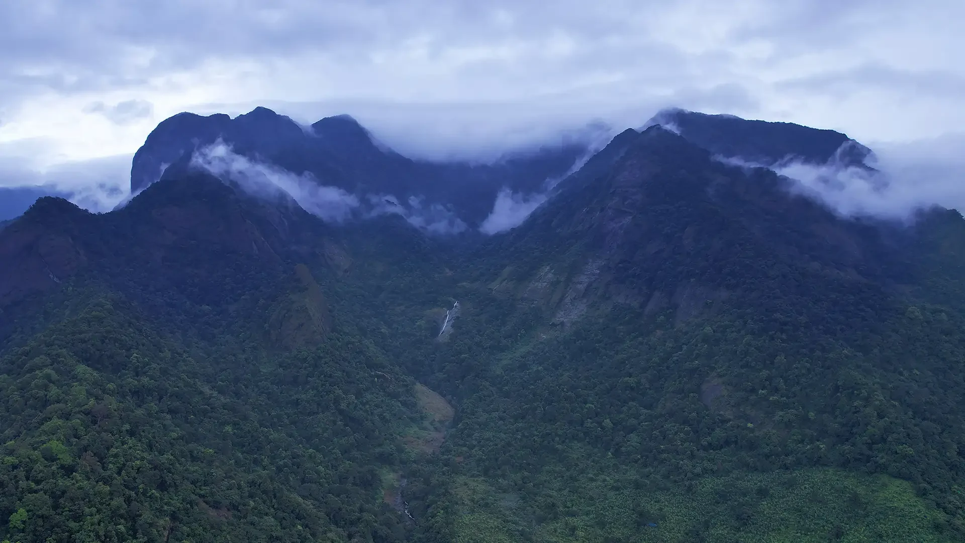
Season is where the honest answer and the pretty answer diverge. The falls are worth walking to in the monsoon — the best Malayalam travelogue about the place is a monsoon piece, and several guides name June to September as the only time the water is impressive. Guidebooks aimed at safety say the opposite, November to March, because that is when the rock is not lethal and the leeches are tolerable. Both are right. The water is best exactly when the walking is worst, and the Forest Department's own caveat, that the programme runs subject to climate and weather conditions, is the operative rule. No source publishes fixed opening and closing dates for the season, and we are not going to invent a calendar. What the monsoon does reliably deliver is cloud: it pours physically over the ridge and along the dam road, which is the real reason the Malayalam press calls Kakkayam Malabar's Ooty.

Legend & myth

Kerala's own tourism department has spent years telling walkers they are going to 2,500 metres. The number is off a signboard. It was read out of the feet column, republished with a metric label, and the correct figure — 759.55 metres — is printed on the same board, one column to the right.

The claim sits on the state's official ecotourism microsite, on the same pages that carry the Divisional Forest Office's phone numbers and the ₹40 ticket price: Kakkayam is described as situated at an altitude of 2500 m above sea level in the Western Ghats. It appears twice, on the destination page and again on the Urakkuzhi trekking-programme page, and from there it has been copied verbatim into Wikipedia mirrors, competitive-exam crammer sites, aggregators and dozens of blogs. The tell is that the copies preserve the phrasing exactly.

It is worth pausing on what 2,500 metres would mean. Anamudi, the highest peak in India south of the Himalaya, is 2,695 metres. Meesapulimala is 2,640, Doddabetta 2,637, Mukurthi 2,554. A reservoir in Kozhikode district at 2,500 metres would be somewhere around the fifth-highest point in peninsular India — higher than Vavul Mala at 2,339 metres, which Kerala Tourism's own Vellarimala page calls the tallest of the Western Ghats north of the Nilgiris. The state would, in other words, be advertising a boat jetty and a children's park at an altitude nothing else in Malabar comes close to.

The Forest Department contradicts its own tourism arm without meaning to. Malabar Wildlife Sanctuary, which Kakkayam lies inside, is officially described as spanning 40 metres to 1,506 metres. The highest ground anywhere in those 74.215 square kilometres is 1,506 metres. The tourism page places a dam site, a road and a car park a thousand metres above the sanctuary's own summit.

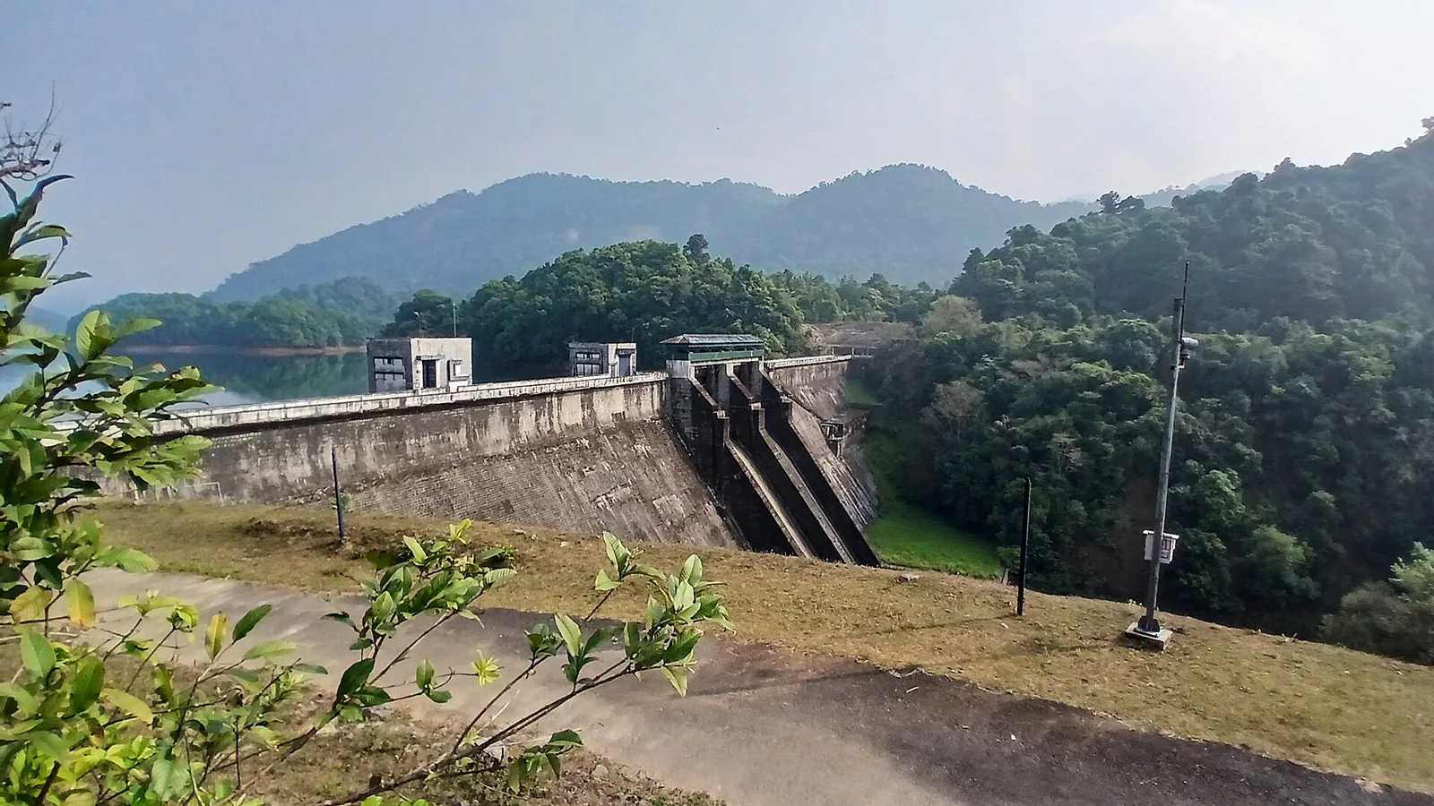
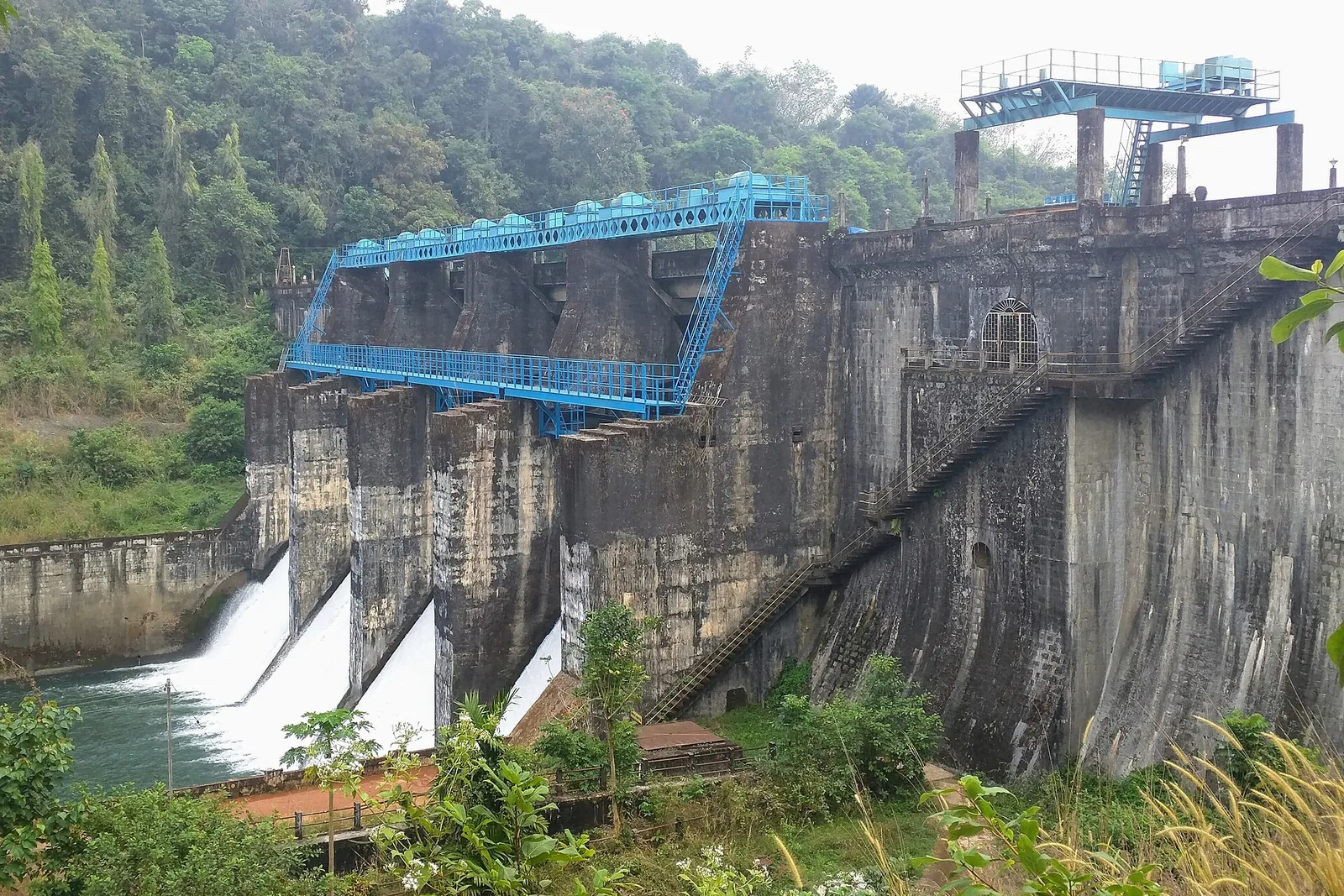
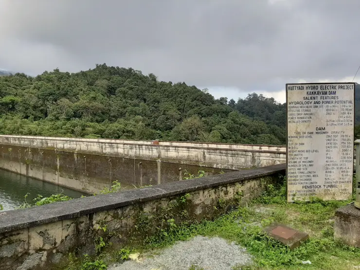
The source of the error is bolted to the dam and photographed under a free licence, so anyone can check it. The KSEB salient-features board lists everything in feet first with metres in brackets: nominal bed level 2362.0017 Ft (719.95 M); FRL +2487.00 Ft (758.05 M); top of dam 2492.00 Ft (759.55 M); MDDL +2420.00 Ft (737.62 M). Two thousand four hundred and ninety-two feet, rounded, is two and a half thousand. The unit travelled one column too far. Every independent path lands where it should: Outlook Traveller, in a piece it happened to title Beyond The Signboard, gives 2,450 feet; one aggregator gives 2,500 feet, identical digits with the correct unit; Wikipedia, working from KSEB documentation rather than tourism copy, says approximately 750 metres. The metre-labelled 2,500 is the only outlier, and it is an outlier by exactly 3.28 — the conversion factor.

The board has a second error, which is the tell that nobody proofreads it either. Under HEIGHT ABOVE BED LEVEL it reads 130 Ft (3962 M). One hundred and thirty feet is 39.62 metres. The decimal point has fallen out, and the board has been claiming a masonry gravity dam nearly four kilometres tall since at least 2014, which is when the photograph was taken.

This matters to a walker rather than to a pedant, because altitude is the one number people use to guess what a walk will feel like. At 2,500 metres you pack for cold, thin air and a long climb. At 759 metres you are in wet tropical evergreen forest at coastal-plain temperature plus a few degrees, and the route to Urakkuzhi is a gentle descent on a made-up track of about a kilometre. The nickname does the same damage in the other direction: Ooty sits at 2,240 metres, so Malabar's Ooty is at roughly a third of the altitude of Ooty. What visitors actually feel at Kakkayam is not height. It is the Kuttiyadi gorge catching the southwest monsoon and filling with cloud at low elevation — which is a more interesting fact than the wrong one it replaced.

Read the full history of Kakkayam trek 643 more words

History

The valley was reserve forest and plantation country long before it was a destination. The sanctuary's legal description still names Chakkittapara and Koorachundu revenue villages in Koyilandy taluk, and the approach road runs through a junction called Estate Mukku, which is the plantation history compressed into a place name. Below the dam the land is coconut, teak and casuarina smallholding; above it, inside the notification, it turns to wet evergreen forest. The transition happens more or less at the checkpost, which is not a coincidence.

What made a walk here possible was a power station. The Kuttiyadi Hydro Electric Project built the road up to the dam for plant access, and the road is why anyone can stand at Urakkuzhi at all — it is 630 metres from a metalled dam crest rather than a day's approach march. That is the whole of the dam's relevance to this page; the reservoir, the powerhouses and the valley's darker history belong to the sibling Kakkayam Dam page and are properly told there.

The Malabar Wildlife Sanctuary was notified on 5 June 2009 over 74.215 sq km — 7,421.5015 hectares — of the Kakkayam and Pannikottur reserve forests and adjoining vested forests, under section 18(1) of the Wildlife (Protection) Act, which is a declaration of intention rather than a final declaration, and it is administered from the Peruvannamuzhi Range. It is an IUCN category IV protected area lying inside both the Nilgiri Biosphere Reserve and the Wayanad Elephant Reserve. The Forest Department attributes its biodiversity to the sheer altitude span it covers, from 40 metres to 1,506 metres, and the roll call bears that out: the Malabar Tree Nymph, Idea malabarica, is a resident, a new species of termite has been described from here, and the slopes carry rare orchids and medicinal herbs alongside a heavy butterfly list.

The trek is not run by a tour company. Kerala's Forest Department states that visitor management and eco-restitution at the Peruvannamuzhi and Kakkayam ecotourism centres are carried out through the Vana Samrakshana Samithies, the village forest-protection committees drawn from settlements around the reserve. In practice that abstraction has a headcount: nineteen guides work this site, and their wages stop when the site does. Permits for the deeper walking come from the Divisional Forest Office, Kozhikode, and the department publishes range-officer numbers rather than a booking desk.

Two tourisms share one site and they make their own decisions. KSEB's Kerala Hydel Tourism Centre runs the reservoir and the boating; the Forest Department runs the trail and the sanctuary. Two counters, two tickets — and, in 2024, two different reopening dates. After the site closed in January, boating resumed on 1 March while the trekking programme stayed shut until 11 May. If you want one fact that explains why every published account of Kakkayam's fees and hours contradicts every other, it is that there is no single authority here to contradict.

Why visit

A short, genuinely accessible forest walk that still puts you inside a notified wildlife sanctuary — about a kilometre on foot, and it descends rather than climbs.

Urakkuzhi's potholes: river geology you stand directly on, and the reason for the name — ural, a grain mortar, and kuzhi, a cavity, ground into bedrock by the Kuttiyadi.

One of the few walks in Kozhikode where a permit, a guide and a fee are the honest price of entry, and where the money runs through a local Vana Samrakshana Samithi.

Monsoon cloud behaviour along the Kuttiyadi gorge — the real reason for the Malabar's Ooty nickname, at about a third of Ooty's altitude.

Real wildlife odds rather than advertised ones: gaur and elephant are genuinely present here, and the three-and-a-half-month closure of 2024 is the proof.

It pairs with, but is emphatically not the same as, the bathing rocks at Kariyathumpara, 16.6 km back down the road and outside the sanctuary.

What to expect

Highlights

  • Trek route around Kakkayam trek
  • Western Ghats landscapes and viewpoints
  • Guided operator and permit planning
Getting there

How to visit

  • Base yourself in Kakkayam or a nearby town in Kozhikode, then confirm the last-mile route locally before leaving.
  • Confirm permits, guide requirement and reporting point before travel; many Kerala treks are controlled by forest authorities.
  • If the visit depends on forest, temple, boat, ferry, weather or seasonal access, check the official/local rule on the day before travel.

Distance by road

  • Coimbatore180 km
  • Kochi182 km
  • Mysuru209 km
  • Mangaluru233 km
  • Bengaluru349 km

Road km to Kozhikode; ghat roads and traffic vary — allow extra.

Timing

Best time

Post-monsoon to late winter is usually best; avoid heavy-rain days and closed forest periods.

Visitor notes

  • Carry water, snacks, sun/rain protection and proper footwear.
  • Do not assume same-day permits are available.
Safety

Good to know

  • Use approved guides where required.
  • Do not enter closed forest routes or trek in heavy rain.
Official eco & forest programmes

Forest stays, camping and guided activities linked to Kakkayam trek

These are official or public-sector eco offerings that match this place, town or forest destination. Confirm availability, permits, tariffs and reporting times with the official operator before travel.

Kakkayam, Kakkayam trek
wildlifeviewpointwaterfall

Kakkayam dam and forest visit

Reservoir, forest and waterfall landscape in the Kozhikode foothills, listed by Kerala Tourism as an ecotourism destination and programme.

Kerala Forest Department / local tourism authorities
Official source →
Peruvannamuzhy, Kakkayam trek
boatingwildlifeviewpoint

Peruvannamuzhy eco visit

Lake and forest-edge destination in Kozhikode district, included in Kerala Tourism’s ecotourism destination list.

Kerala Forest Department / local tourism authorities
Official source →
Nadapuram Mudi, Kakkayam trek
trekviewpoint

Nadapuram Mudi trek

Hill trek/viewpoint landscape where district borders meet, listed by Kerala Tourism as an ecotourism destination.

Kerala Forest Department / local tourism authorities
Official source →
Stay · eat · do · rent · see · shop

Stays, food & things to do near Kakkayam trek

Verified hotels, homestays, restaurants, experiences, sights, shops and rentals around Kakkayam trek — commission-free, with direct contact. Filter by what you need.

3 places to stay near Kakkayam trek

Le Montigo Resort Kakkayam — Kakkayam-side resort in Kakkayam
Top pick Verified
Kakkayam-side resort · Kakkayam
Le Montigo Resort Kakkayam

Koorachund-side resort base for Kakkayam, Thonikkadavu and Peruvannamoozhi trips. Contact direct / check current rules · kakkayam, Kakkayam-side resort, stay.

Commission-freeView details
Vayalada Valley View Resort — Resort in Kakkayam
Top pick Verified
Resort · Kakkayam
Vayalada Valley View Resort

Vayalada resort near Kakkayam with direct address, phone and email. Vayalada P.O., 10/D, Nerveethi Bus Stop, Unnikulam via, Kozhikode, Kerala 673574 · Contact direct · Vayalada, Kakkayam resort, Valley view.

Commission-freeView details
The Kakkayam Valley River View Homestay — Homestay in Kakkayam
Top pick Verified
Homestay · Kakkayam
The Kakkayam Valley River View Homestay

Kerala Tourism-listed homestay at Kariyathumpara near Kakkayam. Contact direct · Kakkayam stay, Kariyathumpara, Homestay.

Commission-freeView details

Book with the place itself. India’s cyber-crime coordination centre warned in April 2025 that convincing copies of hotel and pilgrimage booking sites are being pushed through sponsored search and social ads, taking payment for rooms the property never hears about. Every listing here links to the business’s own contact details and its own Google or Bing profile — we take no commission and sit in nobody’s payment path. If a booking page reached you through an ad, check the address bar against the property’s own site before you pay. Fraud can be reported on cybercrime.gov.in or on 1930.

Ranked

The best of Kakkayam, ranked

Kakkayam trek sits in Kakkayam, and these rank everything verified across the town rather than this one spot — built from the same listings shown above, ordered by the strength of the source evidence behind each entry rather than by anyone's star score. Every card shows how many places are really on it. Nobody pays to appear.

Across the whole of Kakkayam

Ranked guides

Top experiences around Kakkayam

4 more Kakkayam experiences worth building a day around, each with a full guide, how to reach it and what sits next to it. Kakkayam trek is left off — you are already on it — and so is anything already shown in the nearby list further down, so nothing here repeats.

damKakkayam Dam

Reservoir and forested day-trip area in the Western Ghats foothills.

wildlifeMalabar Wildlife Sanctuary

Kozhikode’s last evergreen forest block, notified in 2009 under section 18(1) as a declaration of intention and never finally declared — there is no gate, no permit and no wildlife programme, and you cannot go in.

damPeruvannamuzhi Dam

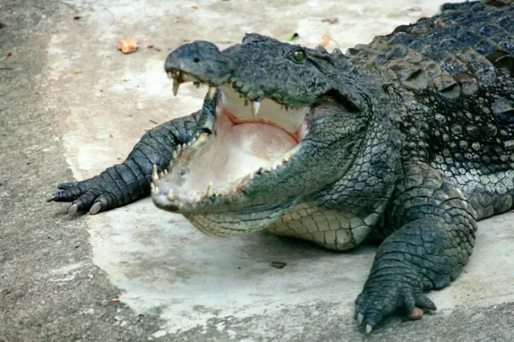
Irrigation reservoir and boating spot in the Kozhikode high ranges, with a 1977 government crocodile breeding centre on the shore.

activityKariyathumpara

A ticketed riverside bathing and picnic centre on Irrigation Department land where the Kuttiyadi runs over a bedrock sheet into the head of the Peruvannamuzhi backwater — at 57 m, with no drop and no forest permit, but a serious drowning history.

Roampedia is commission-free — own or know a stay, eatery, guide or shop near Kakkayam trek? List it and it appears here once verified.

Add a nearby business
Good to know

Kakkayam trek — frequently asked

Do I need a permit, and who issues it?

Yes. The trek is a Forest Department eco-tourism programme, not a free-access trail, and it is delivered through the local Vana Samrakshana Samithies. Tickets are sold at the forest counter on the approach, and permission for the deeper walking is issued by the Divisional Forest Office, Kozhikode; the department publishes range-officer contacts rather than a booking desk. There is a departmental online booking portal, but it was not reachable when this page was researched, so we cannot tell you whether Kakkayam has a bookable slot or works on walk-up. Phone ahead (indicative — confirm locally).

How much does it cost?

Sources genuinely disagree, and we would rather show you the disagreement than pick one. Kerala Tourism's official trekking page lists ₹40 for an Indian adult, ₹20 for a child and ₹60 for a foreign visitor. Reporting after the 2024 reopening gives ₹50 and ₹30, plus a separate ₹30 ticket for the dam reservoir and around ₹250 for a seven-seat jeep. Aggregators add camera and parking charges. The likeliest explanation is that there are two tickets — Forest Department and KSEB — and most sources quote one while implying it is the total. One widely repeated ₹300 foreigner rate is contradicted by the official page and we have not reproduced it (indicative — confirm locally).

How long and how hard is the walk?

Short and easy, with one difficult finish. The falls are about 560 metres from the dam in a straight line and roughly one to one and a half kilometres on foot, the difference being switchbacks. The surface is a made-up track for nearly all of it. It DESCENDS — the falls sit below the dam crest — so do not plan for a climb, and remember the return is the uphill half. The only genuinely awkward part is the last few metres of scramble onto wet bedrock at the head of the falls.

Can I swim or bathe at Urakkuzhi Falls?

No. Forest staff prohibit it, and although we could find no written government order to cite, the physical reason is unarguable: the permitted route puts you on scoured rock at the lip of a drop, above a gorge with no access from below. Staff put it bluntly — if anyone accidentally falls, no search operation will be mounted to recover the body. If you want water you can get into, the springs and rock pools at Kariyathumpara, 27 km back down the road, are the place people actually mean.

Can I drive all the way to the start of the walk?

Almost. Private vehicles reach a barrier near the dam and the last stretch is on foot, about ten minutes, before the trail itself begins. A Forest Department jeep is usually available at around ₹250 for seven passengers, but be clear what it is: it covers a separate seven-kilometre forest route and is not the short walk to Urakkuzhi. Those two are constantly confused in published accounts, which is how people end up expecting one and paying for the other (indicative — confirm locally).

Is it safe, and what wildlife might I meet?

The programme is guided for a reason. On 20 January 2024 a wild gaur entered the tourism centre and injured a visitor and her four-year-old daughter in the children's park area; the site closed the same day. On 5 March a second gaur attack killed a local farmer, and the trekking programme did not reopen until 11 May. Elephants are common — the state's own page says the prospects of crossing their track are huge — and leopard, sloth bear and occasional tiger are reported from the wider sanctuary. Leeches are a certainty in the wet months; carry salt or a lemon. In practice, though, the rock and the water hurt more people here than the animals do.

Is Kakkayam really at 2,500 metres above sea level?

No, and this is worth checking for yourself while you are standing there. Kerala Tourism's official ecotourism pages say 2,500 m; the KSEB signboard at the dam gives the top of the dam as 2492.00 Ft (759.55 M), feet and metres side by side. The tourism figure was taken from the feet column. For a sanity check, the Forest Department's own profile caps the entire Malabar Wildlife Sanctuary at 1,506 metres, and Kakkayam is inside it. Pack for warm, wet, low-altitude forest, not for a mountain.

Is Kariyathumpara or Kariyathan Rock a viewpoint I can trek to from here?

No, and this is the single most common planning mistake at Kakkayam. Kerala Tourism's destination page implies trekking trails lead to viewpoints such as Kariyathan Rock; Kerala Tourism's own Kariyathumpara page places it in Koorachund panchayat, 45 km from Kozhikode — which is right — and 27 km from Kakkayam Dam, which is not: it is 3.45 km in a straight line and 16.6 km by road. It is not a summit and not a viewpoint. It sits at 57 metres in a hollow, where the river runs over a sheet of bedrock into the Peruvannamuzhi backwater, and it is a ticketed riverside bathing centre (₹30, covering Thonikkadavu as well) rather than a forest programme — no permit, but a gate. Treat the water there seriously: local reporting counts eleven drownings at the rock passage, which is why the site is staffed with a lifeguard and why parts of it are restricted. Visit it on the drive, not on the trek.

When is the best time to visit Kakkayam trek?

Post-monsoon to late winter is usually best; avoid heavy-rain days and closed forest periods.

How do I reach Kakkayam trek?

Base yourself in Kakkayam or a nearby town in Kozhikode, then confirm the last-mile route locally before leaving. Confirm permits, guide requirement and reporting point before travel; many Kerala treks are controlled by forest authorities. If the visit depends on forest, temple, boat, ferry, weather or seasonal access, check the official/local rule on the day before travel.

How much time do I need for Kakkayam trek?

Half day to full day unless officially listed as multi-day.

What should I know before visiting Kakkayam trek?

Use approved guides where required. Do not enter closed forest routes or trek in heavy rain.

Read before you go

Kakkayam trek guides, stories & itineraries

Stories & history of Kakkayam trek

Written about Kakkayam trek itself — its history, its legends and the arguments about them.

Around Kakkayam

Kakkayam trek sits in Kakkayam, so these cover the streets, buildings and surroundings around it.

Kerala-wide guides & itineraries

Route-level itineraries and practical guides for the rest of Kerala.

See all 87 Kozhikode guides & stories →

Image credits