What to expect
Highlights
- Waterfall viewpoint at Cheeyappara Waterfalls
- Forest-edge scenery
- Short walks, food stops or nearby viewpoints where available
Waterfall on the Kochi-Munnar road, commonly paired with Valara as a high-range arrival stop.
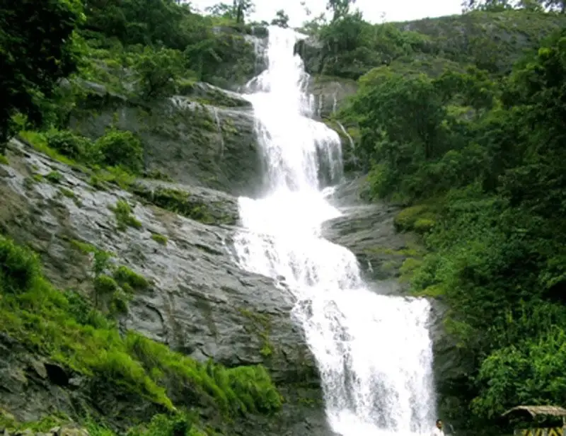
Cheeyappara is the waterfall that stops the Munnar road in its tracks. Tumbling down a dark rock face in roughly seven tumbling steps, right beside National Highway 85 between Neriamangalam and Adimali, it is the classic roadside pause on the long climb from Kochi to the tea hills — a wall of white water, a huddle of tea and snack stalls, and a viewpoint where every car seems to slow down.
For most travellers, Cheeyappara arrives as a surprise. You have been grinding uphill from the plains for an hour or more, the ghat road folding back on itself through rubber and forest, when the trees suddenly open on the right and there it is — a broad, stepped sheet of water pouring off the rock, loud enough to hear over the engine. It is one of those places that has become famous almost entirely because of where it stands: on the single busy artery that carries nearly everyone bound for Munnar.
The falls are usually described as descending in about seven steps or tiers, the water breaking and regathering as it drops from ledge to ledge down the rock face. The exact count and the height quoted vary a good deal from one account to another, so it is best treated as an impression rather than a measurement — what you actually see is a long, tiered cascade rather than a single sheer plunge, its shape changing completely with the season and the strength of the flow.
Cheeyappara is nearly always paired in the same breath with Valara, a second set of cascades a short drive further along the same highway. Both belong to the chain of falls fed by the streams that drain this stretch of the Western Ghats, and together they bracket the most scenic section of the Kochi–Munnar climb. Many people photograph one, drive on, and photograph the other without ever quite realising they are two separate places.
The atmosphere here is frankly that of a busy pit stop rather than a wilderness. A cluster of vendors sells tea, fried snacks, cut fruit, spices and the small souvenirs of the hills; buses and cars pull in and out; families spill onto the roadside terraces to take in the view and get a face full of the cool spray that drifts off the water. In the monsoon that spray becomes a fine mist that hangs in the air and softens everything around the falls.
Because it is so accessible, Cheeyappara draws a steady, good-natured crowd, and it is at its most crowded in the middle of the day. Arrive early and you can have the viewpoint almost to yourself, with the light still low and the road quiet; linger past mid-morning and you will share it with a car park full of fellow travellers. Either way it rewards a short stop far more than a long one — this is a place to stretch your legs, drink a hot tea and watch the water, not to spend an afternoon.
Beyond the immediate roadside, the surrounding slopes and evergreen forest have made Cheeyappara and Valara a modest base for trekking and adventure activities, with rock-climbing and forest walks organised in the area. For the ordinary visitor, though, the whole experience is the view from the edge of the highway — proof that some of Kerala’s most-loved sights are the ones you can reach without ever leaving the road.
Cheeyappara owes its fame to a road. The falls sit on the Kochi–Munnar highway, now numbered National Highway 85, which for generations has been the main route linking the Kerala coast around Kochi with the tea plantations of the High Range. As motor traffic to Munnar grew through the twentieth century, this stepped cascade beside the road became one of the best-known landmarks on the journey, simply because everybody passed it.
Geographically the falls belong to the Western Ghats, the long range of hills whose western face catches the full force of the south-west monsoon. The streams that gather on these slopes cut down through hard rock on their way to the lowlands, and where they meet a resistant, stepped rock face the water breaks into the tiered form seen at Cheeyappara. The same drainage feeds the neighbouring Valara falls further along the highway, so the two are often treated as a single chain.
The falls stand between the town of Neriamangalam, lower down towards the plains, and Adimali, the busy waystation nearer Munnar. This stretch of ghat road was one of the key engineering links opening up the High Range, and the viewpoint terraces, parking and stalls that now line the roadside grew up organically to serve the constant flow of Munnar-bound travellers rather than as a planned attraction.
The falls are governed almost entirely by the monsoon. From roughly June to September the south-west monsoon drives them to their fullest, thundering and misty; through the post-monsoon months the flow stays strong and the surroundings green; and by the height of the dry season the volume drops sharply, though the falls are generally said not to run completely dry. Because the character of the place swings so widely with rainfall, the same viewpoint can look like a raging torrent or a thin trickle depending on the week you arrive.
In recent decades Cheeyappara has been firmly folded into the Munnar tourism circuit, promoted by Kerala tourism bodies as a stop on the way up and, together with Valara, marketed for trekking and adventure activities on the wooded slopes above the road. Its history, in short, is the history of the Munnar road itself — a natural cascade turned into a landmark by the millions of people who drive past it.
It is the easiest waterfall stop you will ever make — right on NH85, with no trek or entry gate between your car and the view, which is exactly why it has become a fixture of the Kochi–Munnar drive.
The tiered, stepped shape is genuinely photogenic, especially in and just after the monsoon when the water is full and a fine mist drifts across the road.
It breaks up the long, winding climb to Munnar at just the right point, giving you a chance to stretch your legs, cool off in the spray and shake off the ghat-road queasiness.
The roadside stalls turn it into a small sensory bazaar — hot tea, fried snacks, cut fruit and hill spices — so a five-minute stop easily becomes a pleasant twenty.
Paired with nearby Valara falls, it lets you tick off two cascades within a few kilometres of each other on the same highway, with no detour required.
For the more active, the surrounding evergreen slopes offer trekking, forest walks and organised rock-climbing, so the falls can be a jumping-off point rather than just a photo halt.
Road km to Idukki; ghat roads and traffic vary — allow extra.
Post-monsoon is usually strongest; dry months are easier for access but water volume may be lower.
Live forecast loads in your browser.
Check the official alert before you travel. Kerala’s beaches, waterfalls and trekking routes close at short notice during heavy rain, and district alert levels change day to day. We do not publish an alert level of our own — read it from the state authority: Kerala State Disaster Management Authority, or the district control room on 1077.
Sun and moon are calculated for this location and shown in IST. Photography windows are the hour around sunrise and sunset; the sunset bearing is degrees clockwise from true north. Moon phase is accurate to about half a day.
These are official or public-sector eco offerings that match this place, town or forest destination. Confirm availability, permits, tariffs and reporting times with the official operator before travel.

Forest and reservoir wildlife sanctuary around the Idukki-Cheruthoni dam landscape.
Official source →
Idukki reservoir viewpoint and pilgrimage hill, connected with Kerala Forest Ecotourism listings.
Official source →Verified hotels, homestays, restaurants, experiences, sights, shops and rentals around Cheeyappara Waterfalls — commission-free, with direct contact. Filter by what you need.
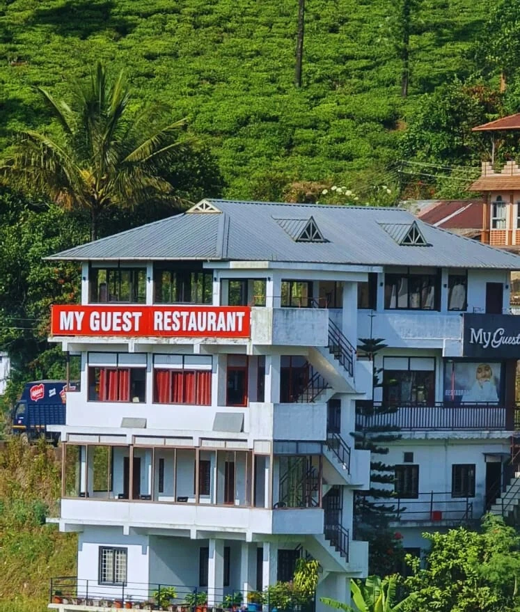
Kuttikkanam restaurant in Idukki and Cheruthoni. My Guest Restaurant, NH-183, Theni By-Pass, Pambanar, Peerumade, Idukki, Kerala 685531 · Restaurant menu pricing · Kuttikkanam, Pambanar, Restaurant.
Kuttikkanam restaurant in Idukki and Cheruthoni. Agincourt, Kuttikkanam, Peerumedu, Idukki, Kerala 685531 · Kuttikkanam, Restaurant, Peerumedu.
Hotel restaurant in Idukki and Cheruthoni. Igloo Heritage Resorts, Cheruthoni, Idukki district, Kerala · Hotel restaurant.
Book with the place itself. India’s cyber-crime coordination centre warned in April 2025 that convincing copies of hotel and pilgrimage booking sites are being pushed through sponsored search and social ads, taking payment for rooms the property never hears about. Every listing here links to the business’s own contact details and its own Google or Bing profile — we take no commission and sit in nobody’s payment path. If a booking page reached you through an ad, check the address bar against the property’s own site before you pay. Fraud can be reported on cybercrime.gov.in or on 1930.
Find food, accommodation and activities across Idukki and Cheruthoni. Browse the guides for places to eat, stay and explore along your route.
20 more places around Idukki and Cheruthoni. Open a guide to plan the visit and onward journey.
A Peerumedu ridge walk through plantation and high-range scenery, with access dependent on the chosen trail, land permission and current weather.
The long pedestrian suspension bridge above the Idukki reservoir at Ayyappancoil, valued for water and hill views as well as the crossing itself.
A secluded waterfall below Kuttikkanam whose approach has depended on estate tracks and regulated jeep routes; current legal access must be established first.
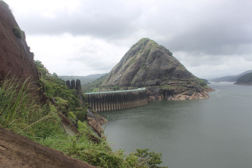
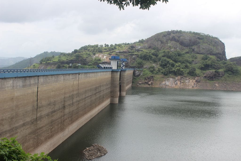
The 138-metre concrete gravity dam a kilometre west of the Idukki arch dam, carrying the five radial gates that are the only spillway for the whole Idukki reservoir — the gates opened in a south-west monsoon for the first time on 9 August 2018.
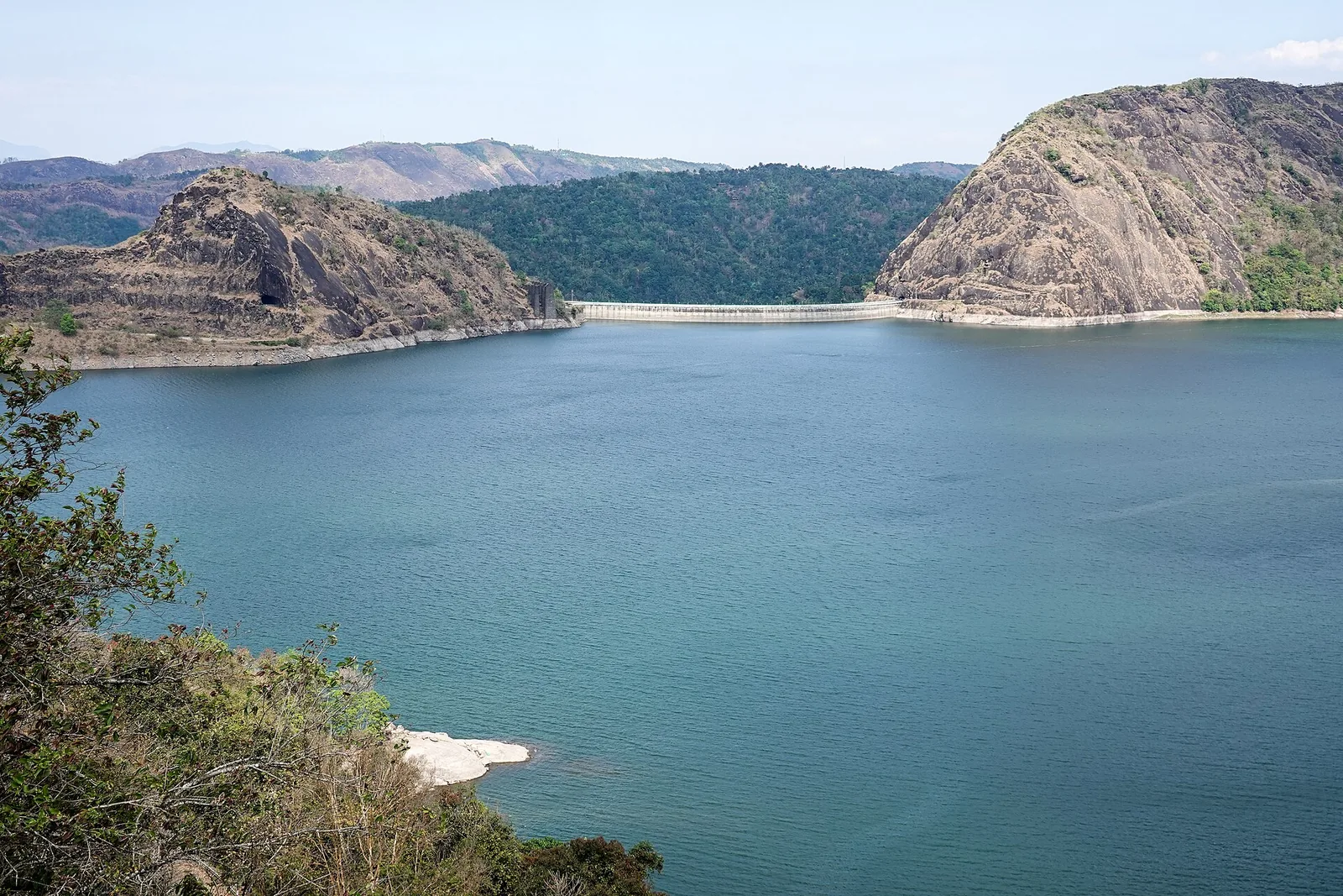
The DTPC’s eight-acre garden and viewing park on the Vellappara shoulder above the Idukki reservoir, about 350 ft above the water. It is the dependable way to see the Idukki arch dam — strung between Kuravanmala and Kurathimala, roughly 1.6 km east-north-east — because the dam crest itself is shut most of the year and this is open every day from 08:00 to 19:00.
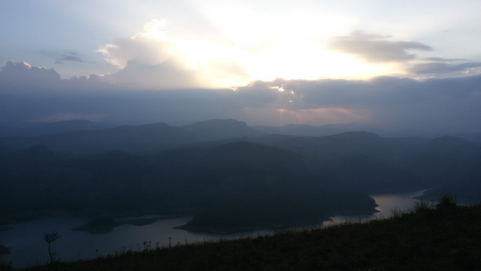
Reservoir-view hill point near Idukki and Cheruthoni, useful for scenic drives, photos and central high-range itineraries.
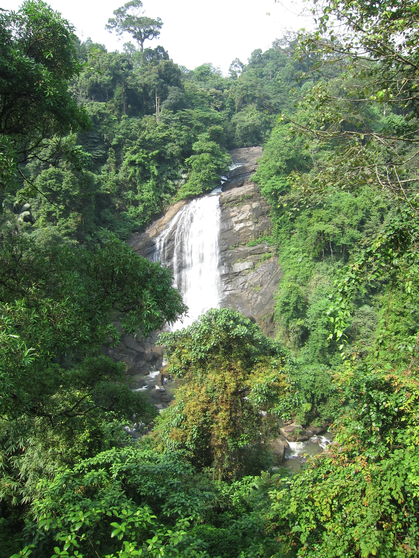
1.7 km · 20 min walk
Valara is the forest-framed Deviyar cascade beside NH85 between Neriamangalam and Adimali in Idukki. It is a separate roadside stop from Cheeyappara, with viewing from the road and no assumed access to the waterfall base.

Peermade, also written Peerumedu or Peermede, is a plantation settlement and highland landscape on the Kottayam–Kumily road in Idukki. The map uses the town centre as a visitor base, not a single hilltop attraction.

Meadow and hill-viewpoint landscape near the Peermade/Kuttikkanam side of Idukki.

Peermade-side hill-station and adventure-tourism area, useful for tea estates, pine roads and central high-range routing.
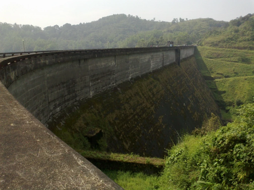
Kulamavu is KSEB’s gravity dam on Kilivallithodu and one of three dams forming the Idukki reservoir. Visit through the hydel-tourism arrangements; reservoir views do not authorise entry to restricted infrastructure.
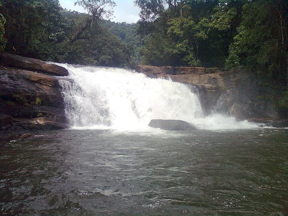
40.6 km · 49 min drive
Seven-step cascade and eco-tourism trekking spot on the Kaliyar river near Thodupuzha, with rock pools, forest paths and a Forest Department eco-tourism trail.
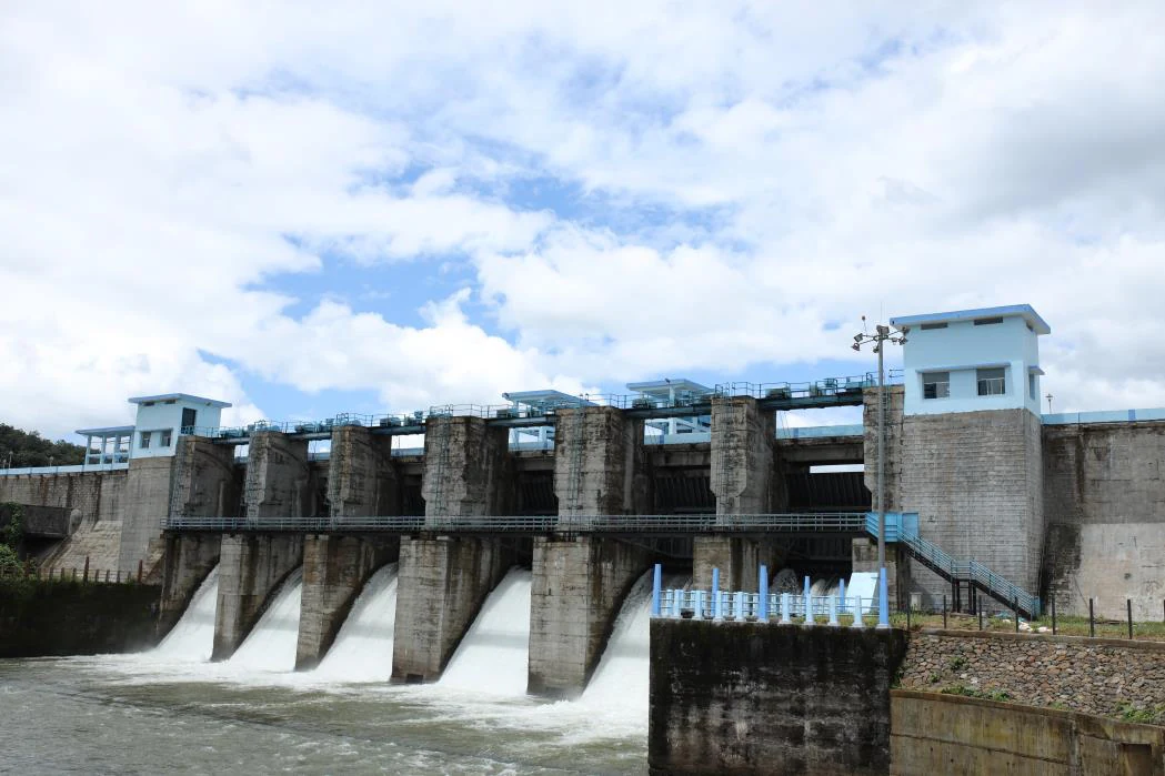
45.4 km · 48 min drive
An Irrigation Department dam and reservoir at Muttom near Thodupuzha, storing Thodupuzha River runoff and Idukki power-station tailwater for the Muvattupuzha Valley Irrigation Project; the visitor park has its own permitted areas.
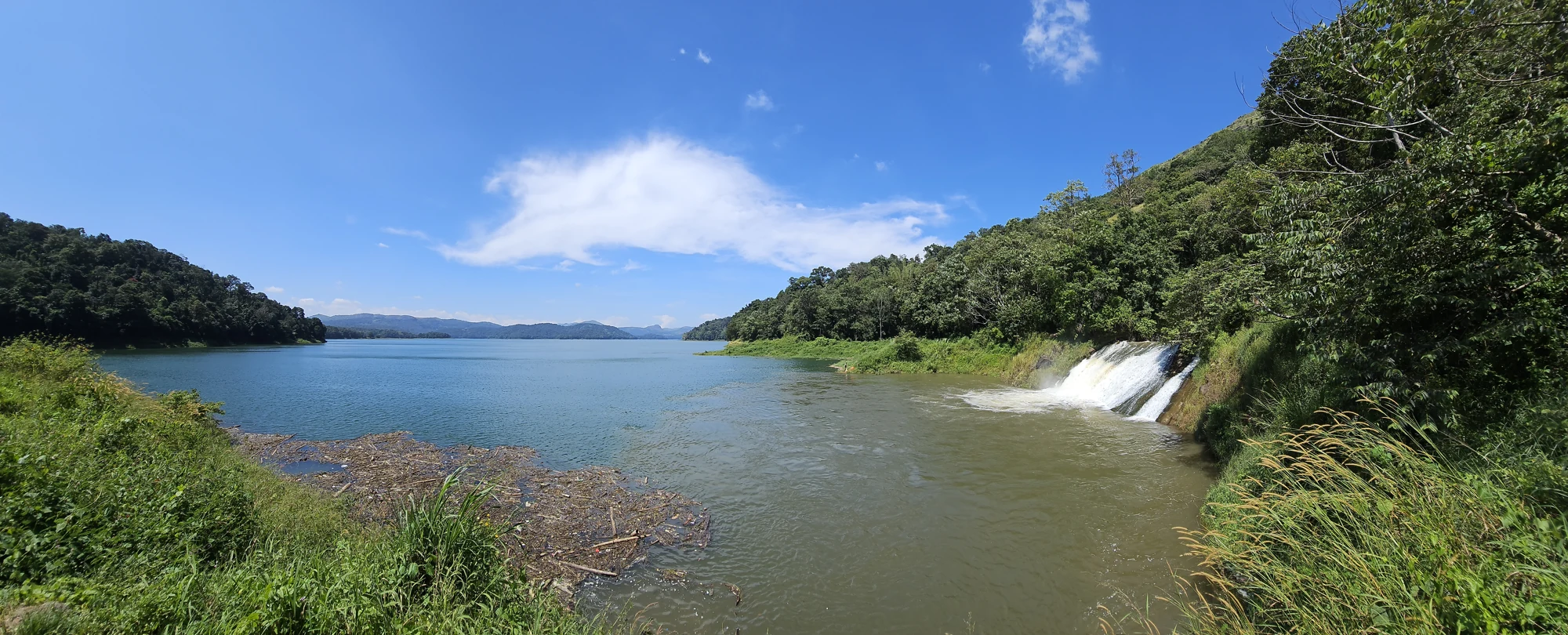
The Anchuruli reservoir-side landscape near Kattappana, where the Erattayar diversion tunnel discharges towards Idukki reservoir. Plan an exterior viewpoint visit; the water tunnel is working infrastructure.

Protected forest around the Idukki and Cheruthoni reservoirs near Painavu, with hilly evergreen woodland, elephants and boat-and-trek access arranged through the Forest Department.
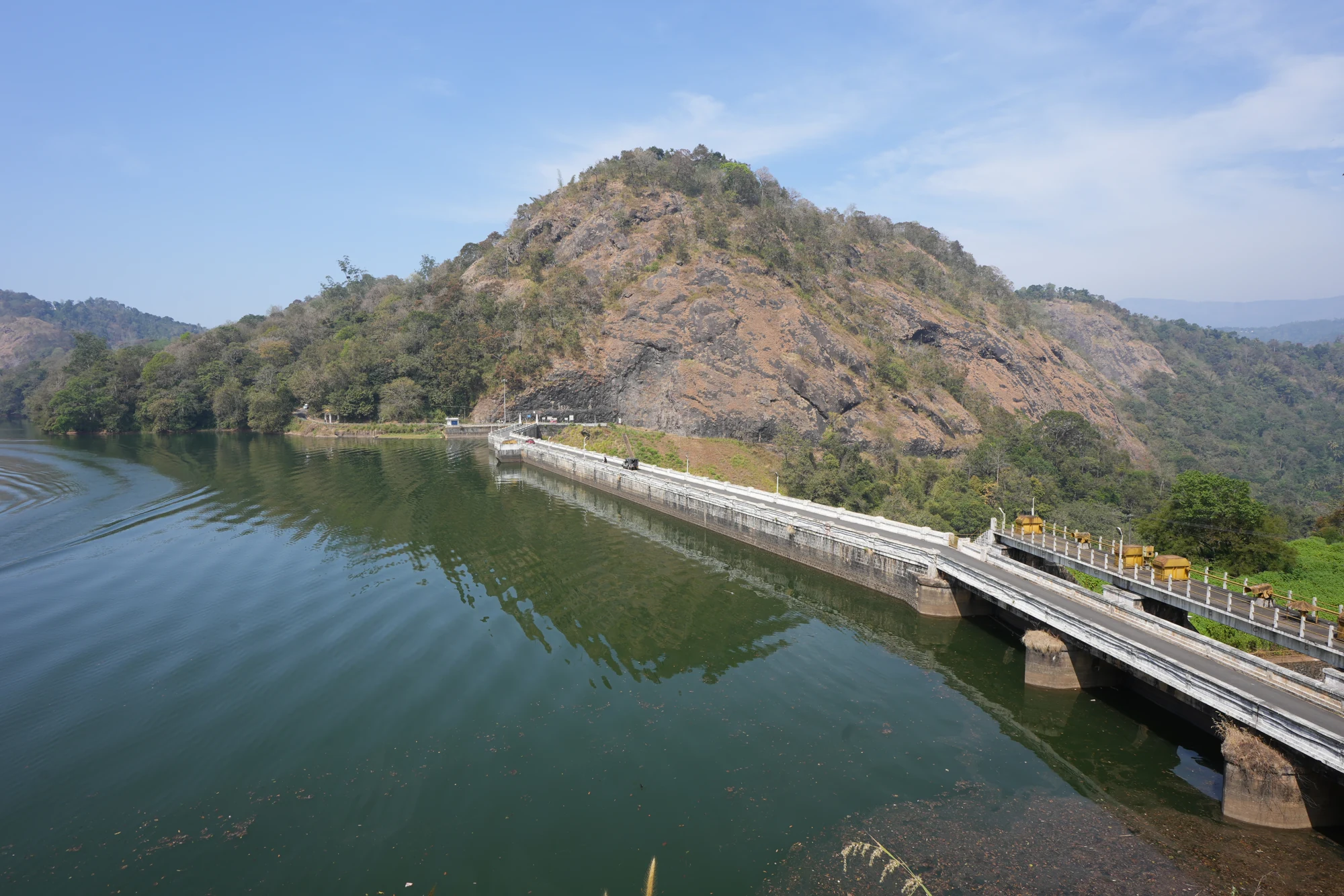
KSEB’s Panniyar-project dam at Konnathadi near Rajakkadu and Vellathooval in Idukki; a reservoir-and-engineering visit, distinct from Ponmudi hill station in Thiruvananthapuram.
56.1 km · 58 min drive
The hill headquarters town of Idukki district near the arch dam, a quiet high-range base for Idukki–Cheruthoni dam-side sightseeing and the surrounding reservoir viewpoints.
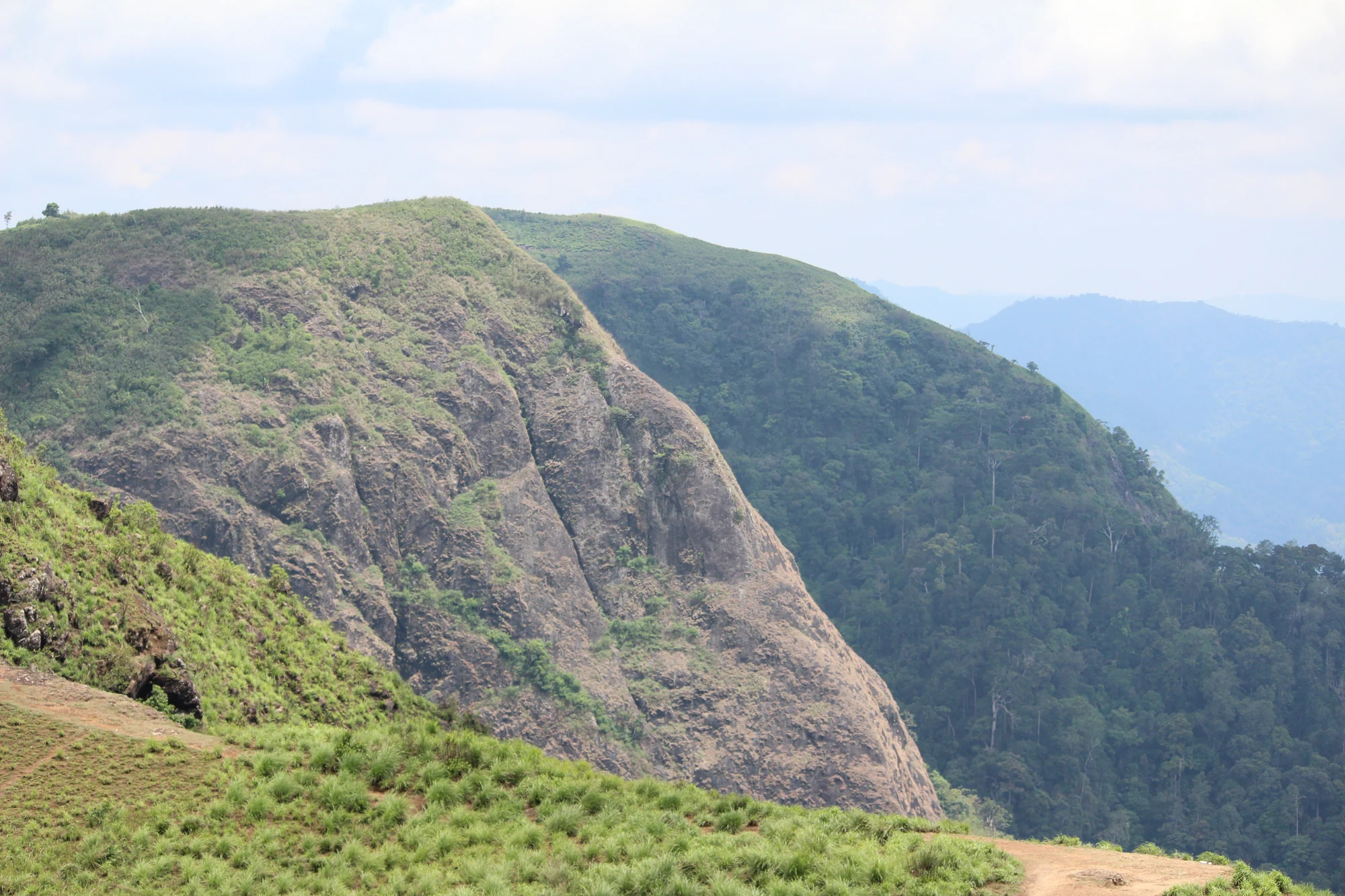
A rock-and-grass viewpoint near Peermade on the Pambanar side of Idukki, overlooking steep wooded ravines; known as Eagle Rock and for the profile-like Tagore Rock formation.
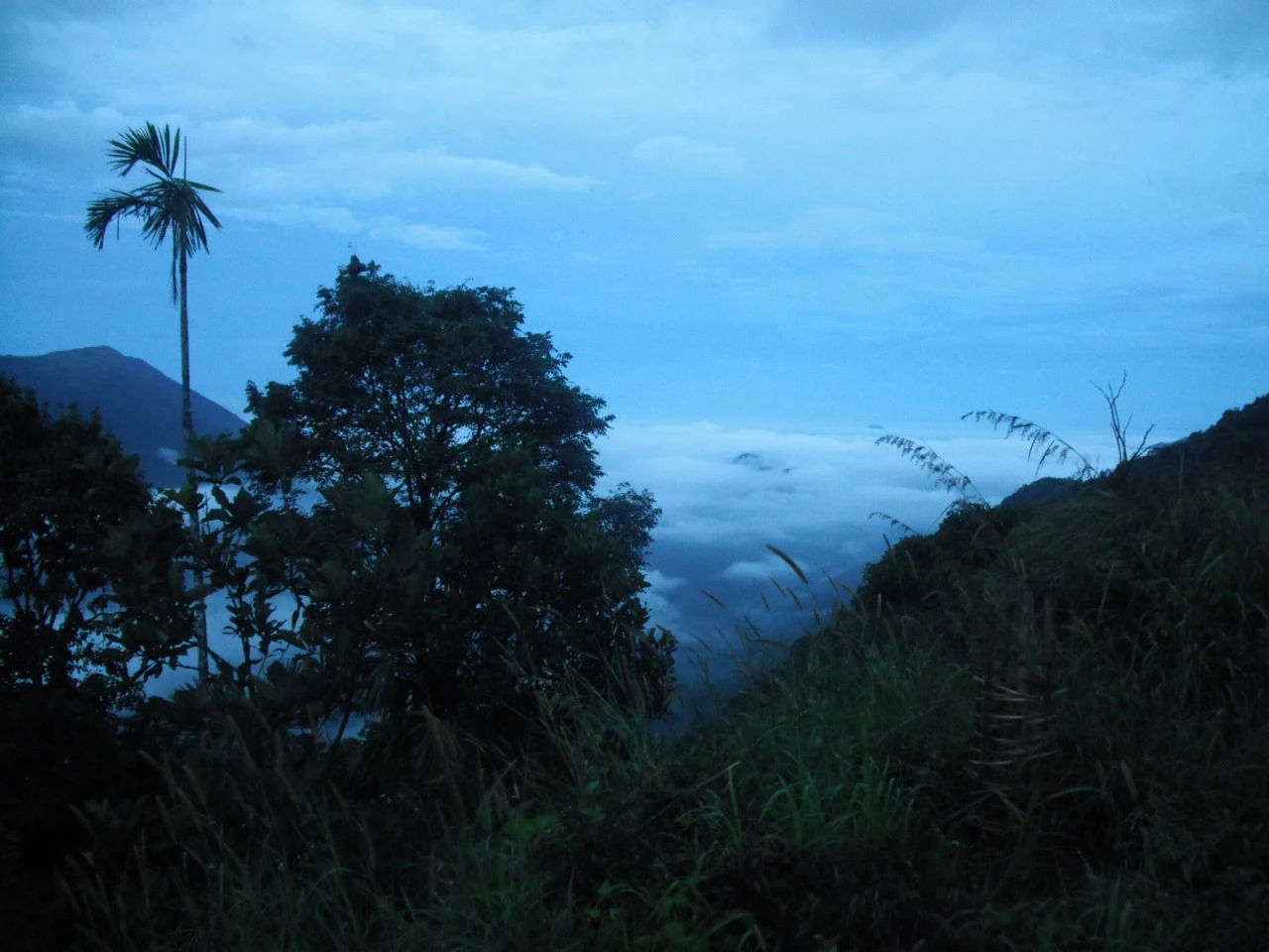
Ghat viewpoint on the Thodupuzha–Puliyanmala road overlooking the Idukki high range, a popular stop for valley views and cool breezes.
Roampedia is commission-free — own or know a stay, eatery, guide or shop near Cheeyappara Waterfalls? List it and it appears here once verified.
Add a nearby businessEntry: No entry fee is generally charged to view the falls from the roadside, though parking or vendor charges may apply
Festivals: There is no temple or dedicated festival at the falls themselves; the site is busiest during the general Munnar tourist season and on weekends and public holidays
Photography: No formal photography restrictions at the roadside viewpoint; keep phones and cameras well away from the spray and never step onto the wet rocks for a shot
If you are travelling by bus or ferry, check the return service with the operator before setting out. Leave time to reach the stop or jetty after your visit.
Ask at the bus stand for the time of the last service back, not the next one. If you miss it, an auto or app cab is the fallback — agree the fare before you get in.
If you need step-free access, contact the site before travelling. Ask about a level entrance, steps along the route, the nearest drop-off point, seating and accessible toilets.
Emergency numbers are verified against official government and state tourism sources. 112 works anywhere in India.
Valara is the forest-framed Deviyar cascade beside NH85 between Neriamangalam and Adimali in Idukki. It is a separate roadside stop from Cheeyappara, with viewing from the road and no assumed access to the waterfall base.
1.7 km · 20 min walk
Waterfall area near Munnar commonly used for short scenic drives and monsoon views.
22.5 km · ~37 min by cab · straight line
The Muthirapuzha spread sideways over bare rock at 796 m, below the tailrace of Pallivasal — the first hydroelectric station Kerala built. Free, unmanaged and very quiet, down about a kilometre of steep narrow lane. ⚠ Not the Chinnakanal falls that Kerala Tourism describes under this name, 21 km east.
24.9 km · ~42 min by cab · straight line
Tea-history museum in Munnar linked with the plantation story of the high ranges.
25.1 km · ~42 min by cab · straight line
Kerala’s most famous hill station, known for tea estates, viewpoints and cool weather.
25.4 km · ~42 min by cab · straight line
A road-accessible viewpoint in Pothamedu south of Munnar, looking across planted hills and wooded valleys. The viewpoint marker is separate from the wider village and from private plantation walking routes.
25.6 km · ~43 min by cab · straight line
The Kerala State Electricity Board’s riverside flower park on the Munnar–Aluva road, 3.3 km below Munnar town and 1.2 km from the KSRTC stand at Old Munnar. It runs along the east bank of the Muthirapuzha immediately above the 1944 R. A. Headworks weir that feeds Pallivasal, Kerala’s first hydroelectric station — which is what the "hydel" in the name means. Open daily 09:15 to 20:15 with tickets sold online by Kerala Hydel Tourism Centre.
26.0 km · ~43 min by cab · straight line
Rajamala is the designated tourism and awareness zone of Eravikulam National Park near Munnar. It is not a separate unrestricted summit trek or the whole national park.
26.8 km · ~45 min by cab · straight lineHigh-altitude grassland park, Nilgiri tahr habitat and access point for Anamudi views.
26.8 km · ~45 min by cab · straight lineSeven-step cascade and eco-tourism trekking spot on the Kaliyar river near Thodupuzha, with rock pools, forest paths and a Forest Department eco-tourism trail.
40.6 km · 49 min driveAn Irrigation Department dam and reservoir at Muttom near Thodupuzha, storing Thodupuzha River runoff and Idukki power-station tailwater for the Muvattupuzha Valley Irrigation Project; the visitor park has its own permitted areas.
45.4 km · 48 min driveThe hill headquarters town of Idukki district near the arch dam, a quiet high-range base for Idukki–Cheruthoni dam-side sightseeing and the surrounding reservoir viewpoints.
56.1 km · 58 min driveWalking and driving times are real routed distances, except the few marked “straight line”, which are direct-line estimates and will read short. Fare figures are estimates from Kerala’s notified auto/taxi tariff and exclude waiting and night charges. Routing: © openrouteservice.org by HeiGIT | Map data © OpenStreetMap contributors
It lies in Idukki district, right beside National Highway 85 (the Kochi–Munnar road), between the towns of Neriamangalam and Adimali. The falls are visible straight from the roadside, which is why almost everyone driving up to Munnar passes them.
It is usually described as cascading in about seven steps or tiers, the water breaking and regathering as it drops down the rock face. Both the step count and the height you will see quoted vary between sources, so treat them as a rough impression rather than an exact figure.
The monsoon and immediately post-monsoon months, roughly June to September and on into the following weeks, are when the water is fullest and most dramatic. In the height of the dry season the flow drops sharply, though the falls are generally said not to run completely dry.
It is not a safe place to swim. The terrain is rugged, the rocks are slippery, and the current can be strong, especially in the monsoon. It is best treated as a place to look at from the viewpoint rather than to enter — accidents have happened to people who climbed onto the wet rocks.
For most people a short stop of around fifteen to thirty minutes is plenty — long enough to take in the view, get a tea and a snack and take some photos before continuing to Munnar.
No, they are two separate sets of falls, but they sit close together on the same highway and are fed by the same chain of hill streams, so they are almost always mentioned together and easily combined in one drive.
Post-monsoon is usually strongest; dry months are easier for access but water volume may be lower.
Entry: No entry fee is generally charged to view the falls from the roadside, though parking or vendor charges may apply. Timings: Open through daylight hours as a roadside viewpoint; there is no ticket gate, but a visit in daylight is strongly advised for both the view and safety.
Base yourself in Idukki and Cheruthoni or a nearby town in Idukki, then confirm the last-mile route locally before leaving. Visit early and check whether the falls are open; waterfall access can close quickly in heavy rain. If the visit depends on forest, temple, boat, ferry, weather or seasonal access, check the official/local rule on the day before travel.
1 to 3 hours.
Nearby you can pair Valara Waterfalls (1.7 km), Attukad Waterfalls (22.5 km), Power House Waterfalls (24.9 km), Tea Museum (25.1 km).
Do not enter restricted pools or climb wet rocks. Flash-flood risk rises during heavy rain.
We have not published a story about Cheeyappara Waterfalls itself yet. These cover Idukki and Cheruthoni and the wider district, with separate journeys between stops.
These guides explore Idukki and Cheruthoni and the surrounding area. Choose a visit that fits your interests, allowing separately for travel between stops.


Route-level itineraries and practical guides for the rest of Kerala.
Photographs: Wikistranger (Public domain), Harvinder Chandigarh (CC BY-SA 4.0), Department of Tourism, Government of Kerala (© Kerala Tourism), Alanjs (CC BY-SA 4.0). Wikimedia Commons.