What to expect
Highlights
- Cool-weather viewpoints around Kuttikkanam
- Tea, spice, forest or meadow landscapes where available
- Good base for drivers, guides and short hikes
Peermade-side hill-station and adventure-tourism area, useful for tea estates, pine roads and central high-range routing.
Perched at roughly 1,100 metres on the Kottayam–Kumily highway in Idukki district, Kuttikkanam is a mist-wrapped hill station within the historic Peermade highlands — a cool, green world of tea and cardamom estates, pine-clad slopes, rolling meadows and weathered colonial bungalows where the Travancore kings once fled the heat of the plains.
Kuttikkanam arrives quietly. One moment you are climbing the winding Peermade road through cardamom country, and the next the temperature drops, cloud drifts across the windscreen and the hills fold into soft, tea-carpeted ridges. At around 3,500 feet the air is genuinely cool the year round, and by afternoon a fine mist often rolls in off the meadows, blurring the tree lines and lending the whole plateau a hushed, storybook stillness.
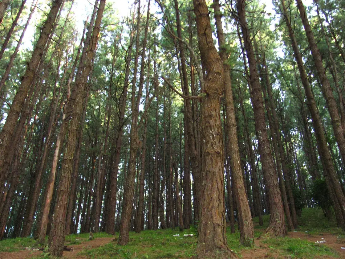
It is a landscape shaped by leaf and estate. Sweeping tea gardens stitch the slopes in geometric green, broken by shade trees and the darker tangle of cardamom plantations that scent the damp air. Above the estates lie open grasslands and a pine forest said to spread across roughly a hundred acres, home to some thirty species of birds — a rare, almost European texture that sets Kuttikkanam and its parent town of Peermade apart from Kerala’s other hill retreats.
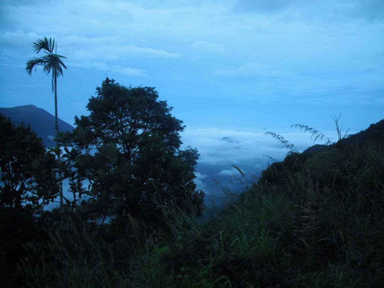
This is walking and wandering country rather than a place of ticketed monuments. Trails thread through plantations and up to breezy viewpoints; early mornings reward you with valleys drowned in cloud and, if you are patient, glimpses of Indian bison (gaur) grazing the fringes and monkeys crossing the tracks. The pleasures here are unhurried — a plantation stroll, a flask of estate tea, the long silence of a ridge at dusk.
Scattered through the hills are the ghosts of the planting era: high-fronted bungalows with teak staircases and bedroom fireplaces, estate roads laid by European planters, and the old summer retreats of Travancore royalty. Names like Ashley and Fairfield still cling to estates founded in the 1860s and 1870s, and the region wears its colonial past not as a museum but as lived-in architecture folded among working tea gardens.
Kuttikkanam is also a place of learning and quiet institutions, most famously Marian College, whose hillside campus has drawn students up into these clouds for decades. That mix — plantation heritage, academic calm and raw Ghats scenery — gives the town an unusually settled, gentle character, more retreat than resort.
Come for the climate and stay for the mood. Where Munnar can feel crowded, Kuttikkanam and Peermade remain comparatively untouristed — a slow hill station of cardamom-scented lanes, misty meadows and long views, best savoured with a jacket, a good pair of shoes and no fixed itinerary.
The nearby viewpoint of Panchalimedu, reached from the Kuttikkanam–Peermade highlands, carries a well-loved Mahabharata legend. Local tradition holds that the Pandavas passed this way during their years of forest exile, and that Draupadi — also called Panchali — bathed at a spring here; the hill is said to take its name from her, and a small shrine and perennial pond keep the story alive for pilgrims who climb the grassy summit.
The parent town of Peermade owes its very name to a legend of sainthood. It is said to honour Pir Muhammed (Peer Mohammed) Waliullah, a Sufi mystic and poet from Tamil Nadu sometimes called the ‘Rumi of South India’, who is believed to have meditated in these hills. Whether history or devotion, the tale gives the whole plateau — Kuttikkanam included — a quiet spiritual undertone beneath its planting-era surface.
For much of recorded history these highlands were near-empty forest. In the sixteenth century the tract lay under the kings of Changanacherry and was largely uninhabited, roamed by wildlife and a handful of hill communities. In 1756 the King of Travancore absorbed the region, and over the following century the cool plateau around Peermade and Kuttikkanam became a favoured summer escape for the royal family, who came up to flee the fierce heat of the coastal plains.
The modern character of the place was forged by coffee, then tea. A Church Mission Society missionary, Henry Baker, is credited with starting coffee plantations in these hills, and under the reign of Sri Moolam Thirunal much of that acreage was converted to tea. A pivotal turn came in 1865, when Travancore regularised taxes on trees and released tracts of ‘barren’ highland for cultivation — legislation that pulled European planters up into the Ghats to secure large estates.
By the late nineteenth and early twentieth centuries the forest had been remade into sprawling tea, coffee and cardamom estates laced with plantation roads and bungalows. Planters’ residences such as Ashley Bungalow, dated to 1868, and the Fairfield estate bungalow of about 1880 on a plantation opened in 1868 survive from this boom, their teak furniture, high fronts and bedroom fireplaces recalling a distinctly Victorian hill life transplanted to the tropics.
Access, however, was hard-won. With no proper road at first — only a footpath up the ghat — the British floated the Aerial Ropeway Ltd, remembered as Travancore state’s first public limited company, to haul goods and produce over the difficult terrain. Under the Raj, Kuttikkanam grew into an up-market retreat, and the summer palace of the Travancore kings stood here, complemented by royal residences such as the Ammachi Kottaram with its courtyard-centred, part-traditional, part-colonial design.
Much of today’s population descends from labourers who migrated from across Kerala and neighbouring Tamil Nadu to work the estates, giving the hills a mixed Malayalam- and Tamil-speaking community. The estates still turn, colonial churches such as St Mary’s in Peermade still stand, and institutions like Marian College have added a new layer of life — so that Kuttikkanam remains, layer upon layer, a working monument to Travancore’s planting age.
The climate. Sitting near 1,100 metres, Kuttikkanam stays cool and fresh all year, with afternoon mist rolling across the meadows — a proper hill-station chill that draws visitors up out of Kerala’s humid plains.
Tea and cardamom country. Endless estates carpet the slopes in green, the cardamom-scented air and geometric tea gardens making even a short plantation walk memorable.
Colonial heritage. Weathered planters’ bungalows, old estate roads and the legacy of Travancore’s summer retreats give the hills a rare architectural and historical texture you can still see standing among working estates.
Genuine peace. Compared with busier Munnar, Kuttikkanam and Peermade remain relatively untouristed — ideal for travellers who want mist, silence and long views rather than crowds and queues.
Trekking and viewpoints. The plateau is one of Idukki’s best for gentle-to-serious trekking, with grassland ridges, pine forest and nearby viewpoints such as Panchalimedu and Parunthumpara opening onto vast, cloud-filled valleys.
Wildlife and birds. The pine forest and estate fringes host around thirty bird species, and lucky visitors spot Indian bison (gaur) and troops of monkeys against the misty backdrop.
Road km to Idukki; ghat roads and traffic vary — allow extra.
October to March for cool clear weather; monsoon is scenic but can bring slippery roads and closures.
Live forecast loads in your browser.
Sun and moon are calculated for this location and shown in IST. Photography windows are the hour around sunrise and sunset; the sunset bearing is degrees clockwise from true north. Moon phase is accurate to about half a day.
These are official or public-sector eco offerings that match this place, town or forest destination. Confirm availability, permits, tariffs and reporting times with the official operator before travel.

Forest and reservoir wildlife sanctuary around the Idukki-Cheruthoni dam landscape.
Official source →
Idukki reservoir viewpoint and pilgrimage hill, connected with Kerala Forest Ecotourism listings.
Official source →Verified hotels, homestays, restaurants, experiences, sights, shops and rentals around Kuttikkanam — commission-free, with direct contact. Filter by what you need.
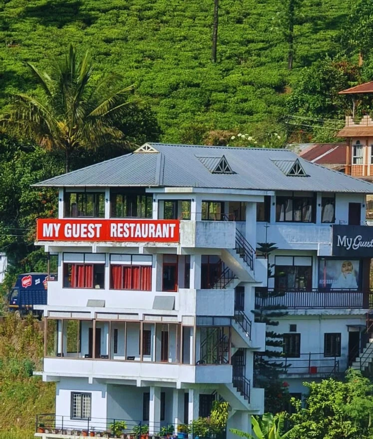
Kuttikkanam restaurant in Idukki and Cheruthoni. My Guest Restaurant, NH-183, Theni By-Pass, Pambanar, Peerumade, Idukki, Kerala 685531 · Restaurant menu pricing · Kuttikkanam, Pambanar, Restaurant.
Kuttikkanam restaurant in Idukki and Cheruthoni. Agincourt, Kuttikkanam, Peerumedu, Idukki, Kerala 685531 · Kuttikkanam, Restaurant, Peerumedu.
Hotel restaurant in Idukki and Cheruthoni. Igloo Heritage Resorts, Cheruthoni, Idukki district, Kerala · Hotel restaurant.
Book with the place itself. India’s cyber-crime coordination centre warned in April 2025 that convincing copies of hotel and pilgrimage booking sites are being pushed through sponsored search and social ads, taking payment for rooms the property never hears about. Every listing here links to the business’s own contact details and its own Google or Bing profile — we take no commission and sit in nobody’s payment path. If a booking page reached you through an ad, check the address bar against the property’s own site before you pay. Fraud can be reported on cybercrime.gov.in or on 1930.
Find food, accommodation and activities across Idukki and Cheruthoni. Browse the guides for places to eat, stay and explore along your route.
Walking routes start at Kuttikkanam. Check the route and access before setting out, especially where a road, gate or waterway separates the stops.
20 more places around Idukki and Cheruthoni. Open a guide to plan the visit and onward journey.
A Peerumedu ridge walk through plantation and high-range scenery, with access dependent on the chosen trail, land permission and current weather.
16.4 km · ~27 min by cab
The long pedestrian suspension bridge above the Idukki reservoir at Ayyappancoil, valued for water and hill views as well as the crossing itself.
A secluded waterfall below Kuttikkanam whose approach has depended on estate tracks and regulated jeep routes; current legal access must be established first.
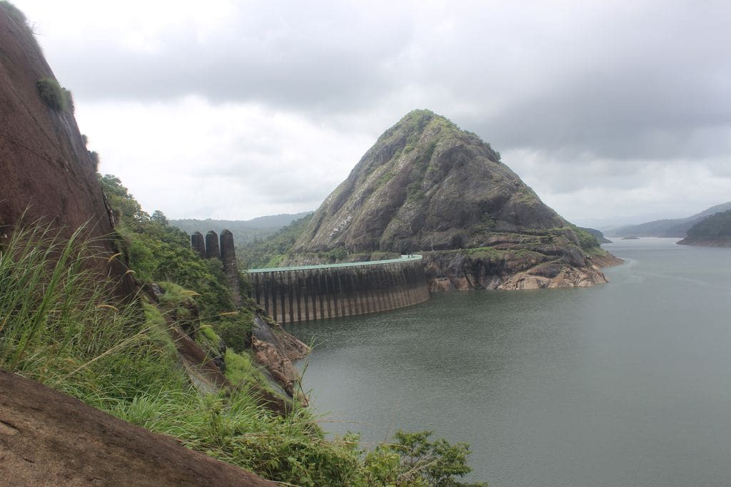
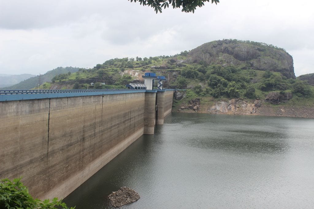
The 138-metre concrete gravity dam a kilometre west of the Idukki arch dam, carrying the five radial gates that are the only spillway for the whole Idukki reservoir — the gates opened in a south-west monsoon for the first time on 9 August 2018.
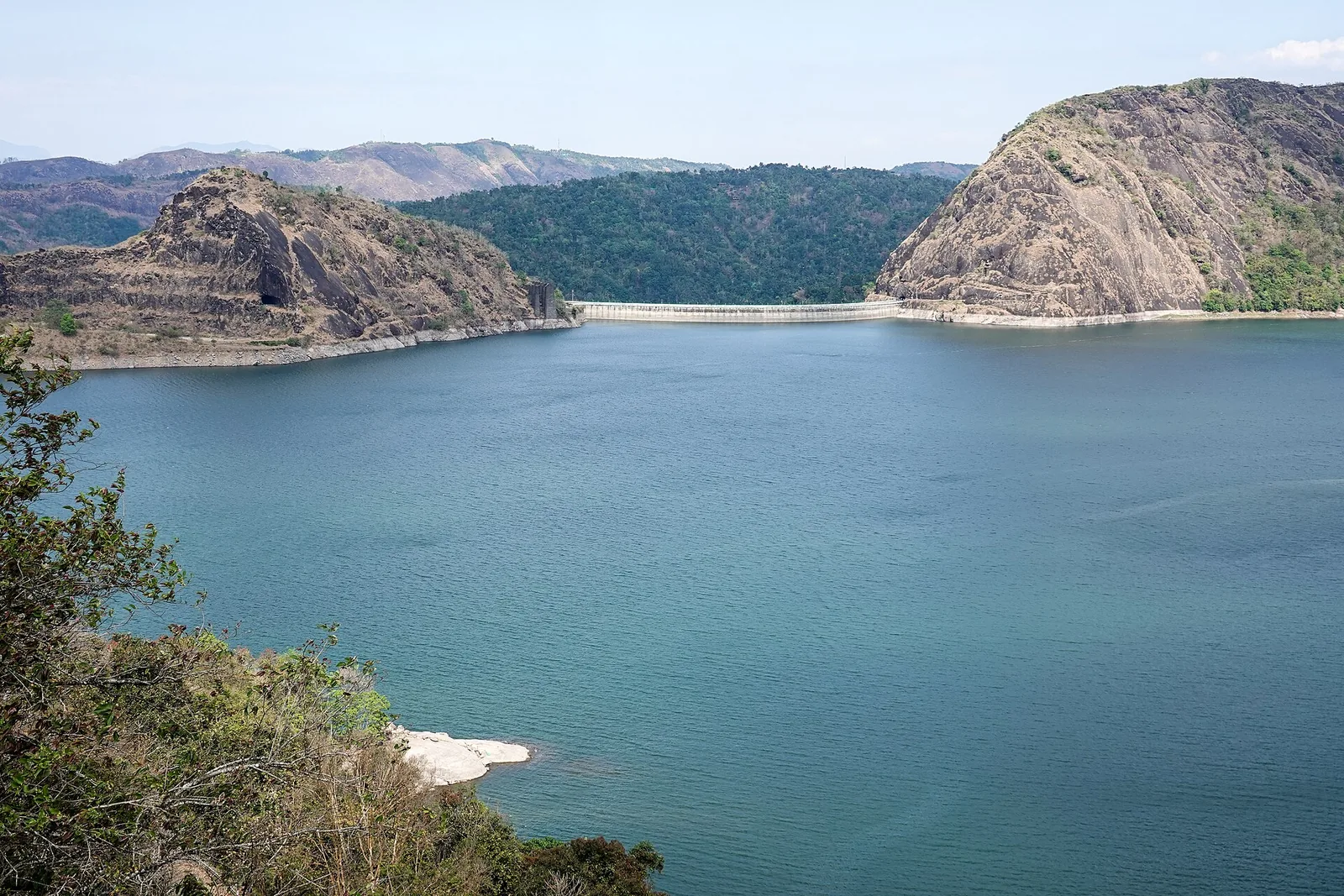
The DTPC’s eight-acre garden and viewing park on the Vellappara shoulder above the Idukki reservoir, about 350 ft above the water. It is the dependable way to see the Idukki arch dam — strung between Kuravanmala and Kurathimala, roughly 1.6 km east-north-east — because the dam crest itself is shut most of the year and this is open every day from 08:00 to 19:00.
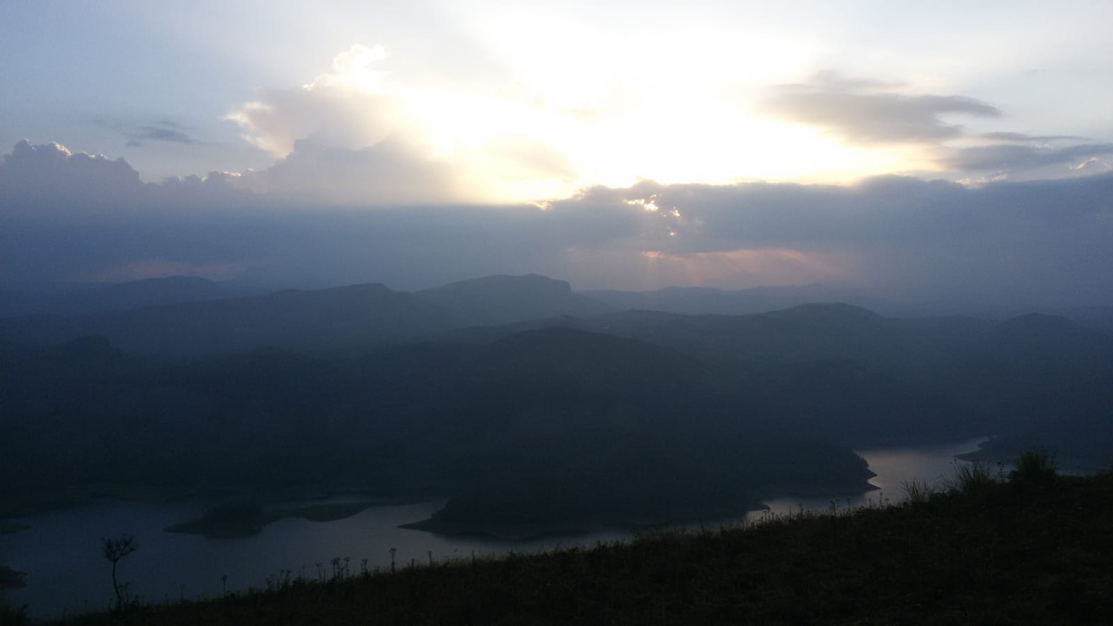
Reservoir-view hill point near Idukki and Cheruthoni, useful for scenic drives, photos and central high-range itineraries.
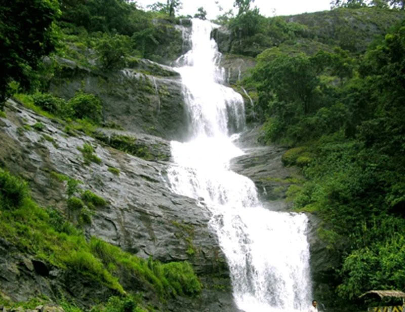
Waterfall on the Kochi-Munnar road, commonly paired with Valara as a high-range arrival stop.
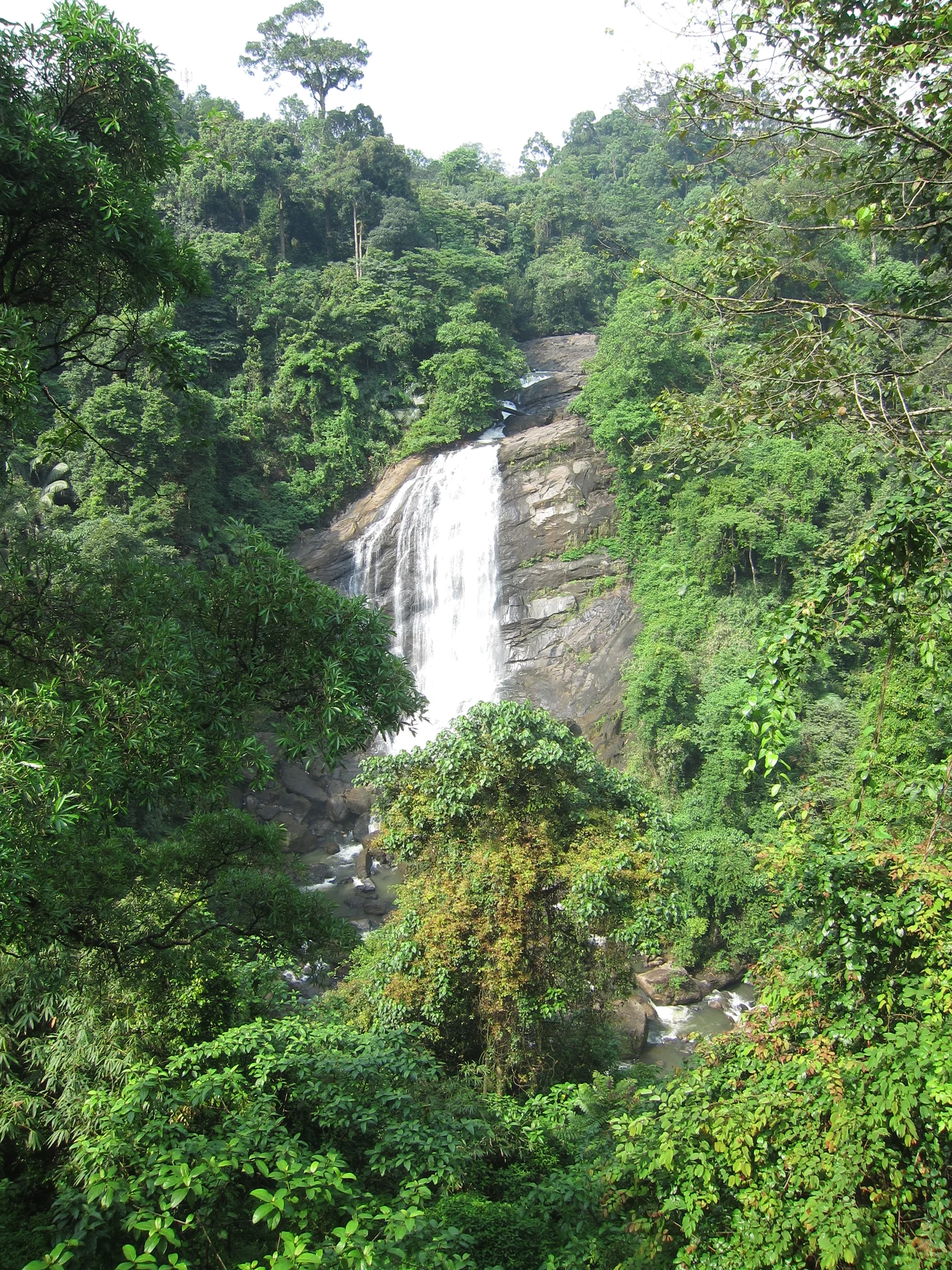
Valara is the forest-framed Deviyar cascade beside NH85 between Neriamangalam and Adimali in Idukki. It is a separate roadside stop from Cheeyappara, with viewing from the road and no assumed access to the waterfall base.

4.1 km · 4 min drive
Peermade, also written Peerumedu or Peermede, is a plantation settlement and highland landscape on the Kottayam–Kumily road in Idukki. The map uses the town centre as a visitor base, not a single hilltop attraction.

10.1 km · 11 min drive
Meadow and hill-viewpoint landscape near the Peermade/Kuttikkanam side of Idukki.
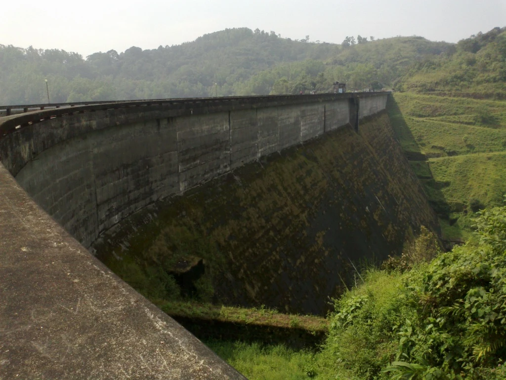
Kulamavu is KSEB’s gravity dam on Kilivallithodu and one of three dams forming the Idukki reservoir. Visit through the hydel-tourism arrangements; reservoir views do not authorise entry to restricted infrastructure.
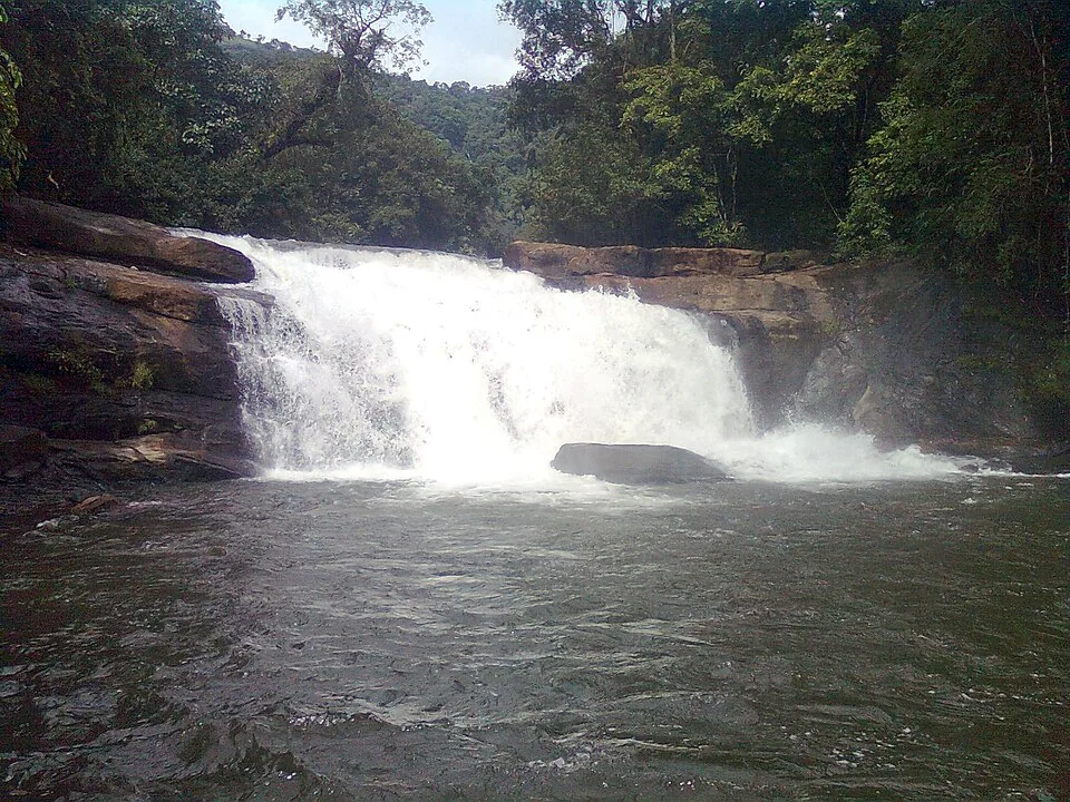
Seven-step cascade and eco-tourism trekking spot on the Kaliyar river near Thodupuzha, with rock pools, forest paths and a Forest Department eco-tourism trail.
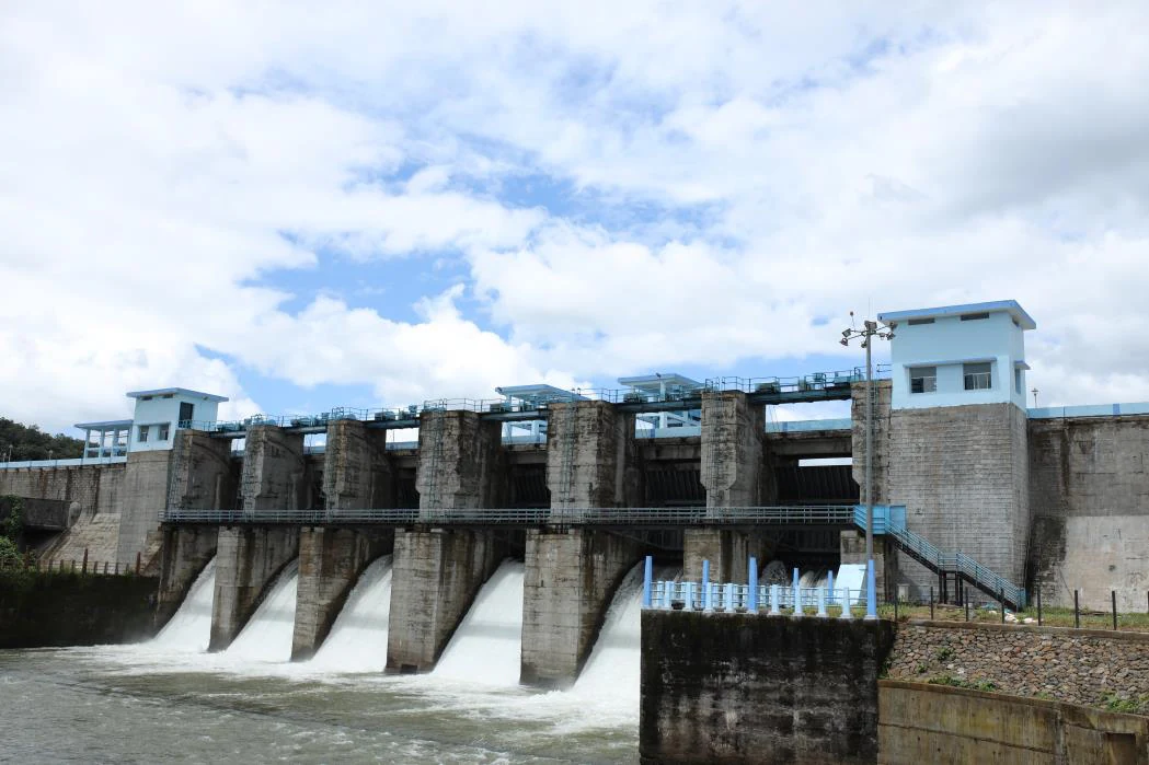
An Irrigation Department dam and reservoir at Muttom near Thodupuzha, storing Thodupuzha River runoff and Idukki power-station tailwater for the Muvattupuzha Valley Irrigation Project; the visitor park has its own permitted areas.
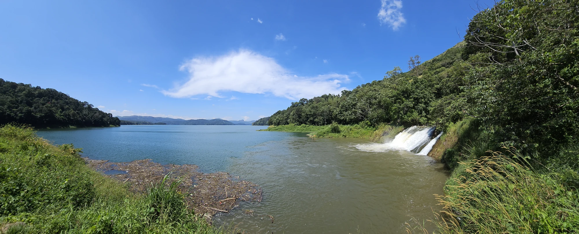
The Anchuruli reservoir-side landscape near Kattappana, where the Erattayar diversion tunnel discharges towards Idukki reservoir. Plan an exterior viewpoint visit; the water tunnel is working infrastructure.

Protected forest around the Idukki and Cheruthoni reservoirs near Painavu, with hilly evergreen woodland, elephants and boat-and-trek access arranged through the Forest Department.
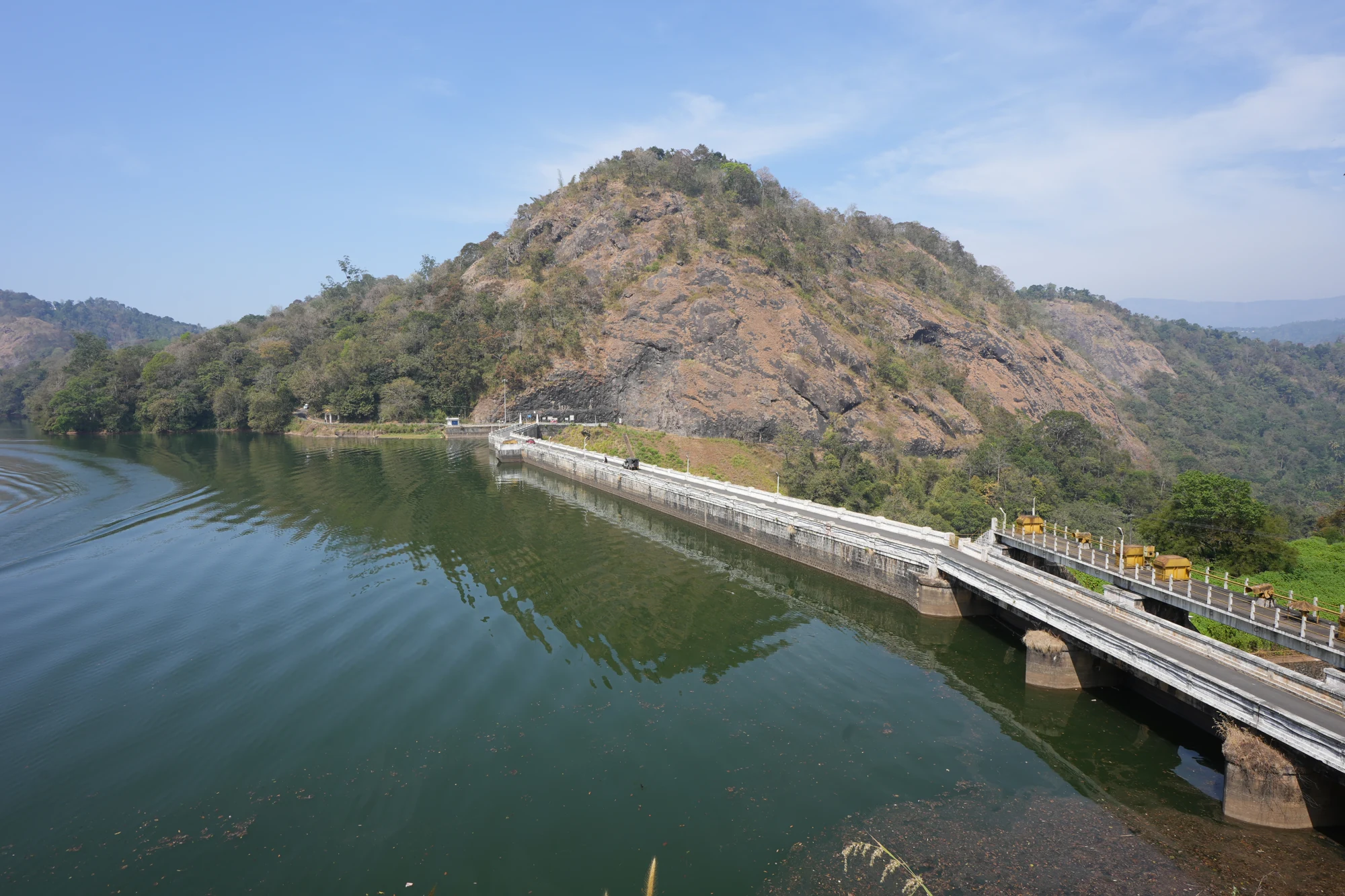
KSEB’s Panniyar-project dam at Konnathadi near Rajakkadu and Vellathooval in Idukki; a reservoir-and-engineering visit, distinct from Ponmudi hill station in Thiruvananthapuram.
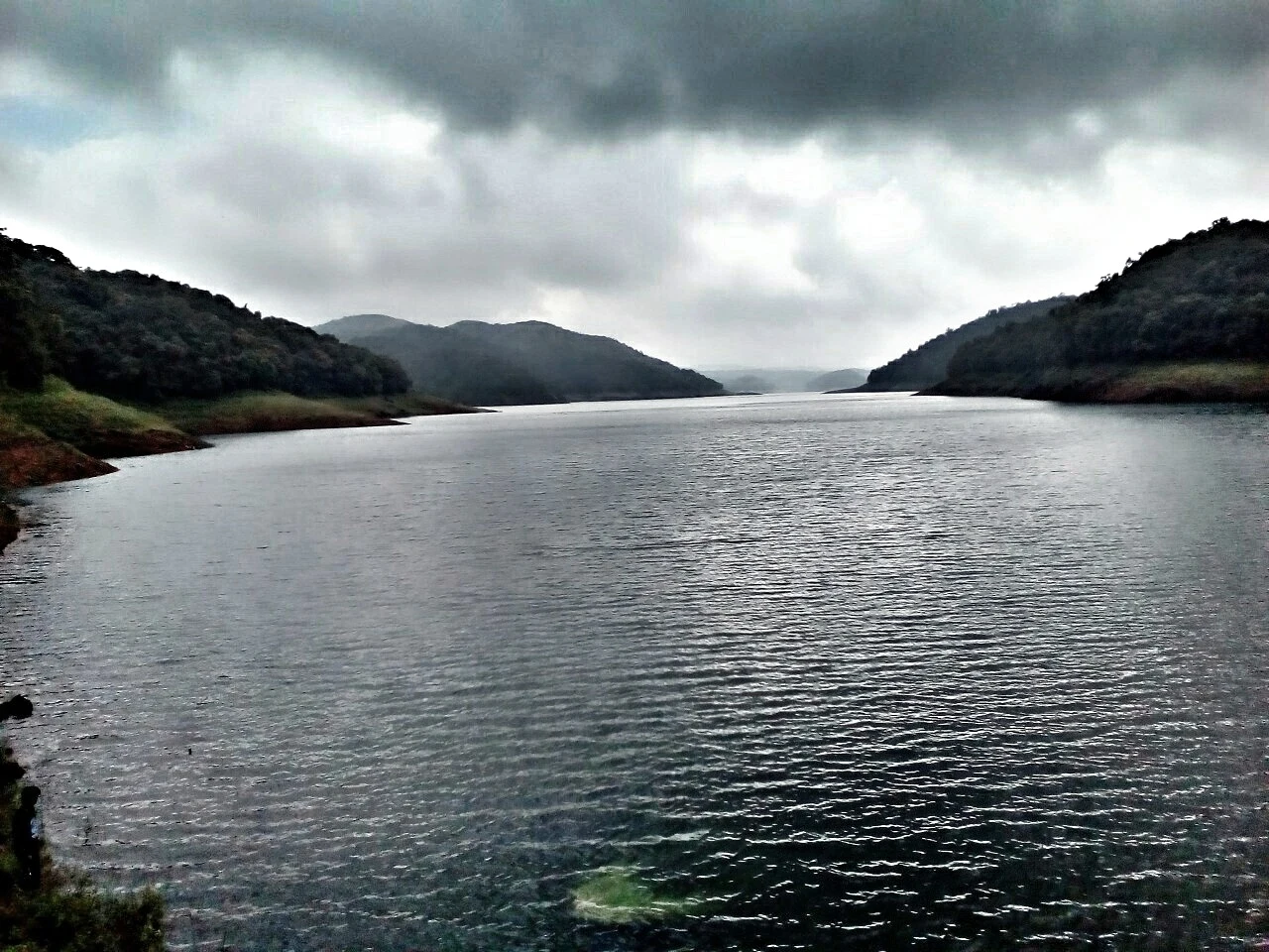
The hill headquarters town of Idukki district near the arch dam, a quiet high-range base for Idukki–Cheruthoni dam-side sightseeing and the surrounding reservoir viewpoints.
11.6 km · 13 min drive
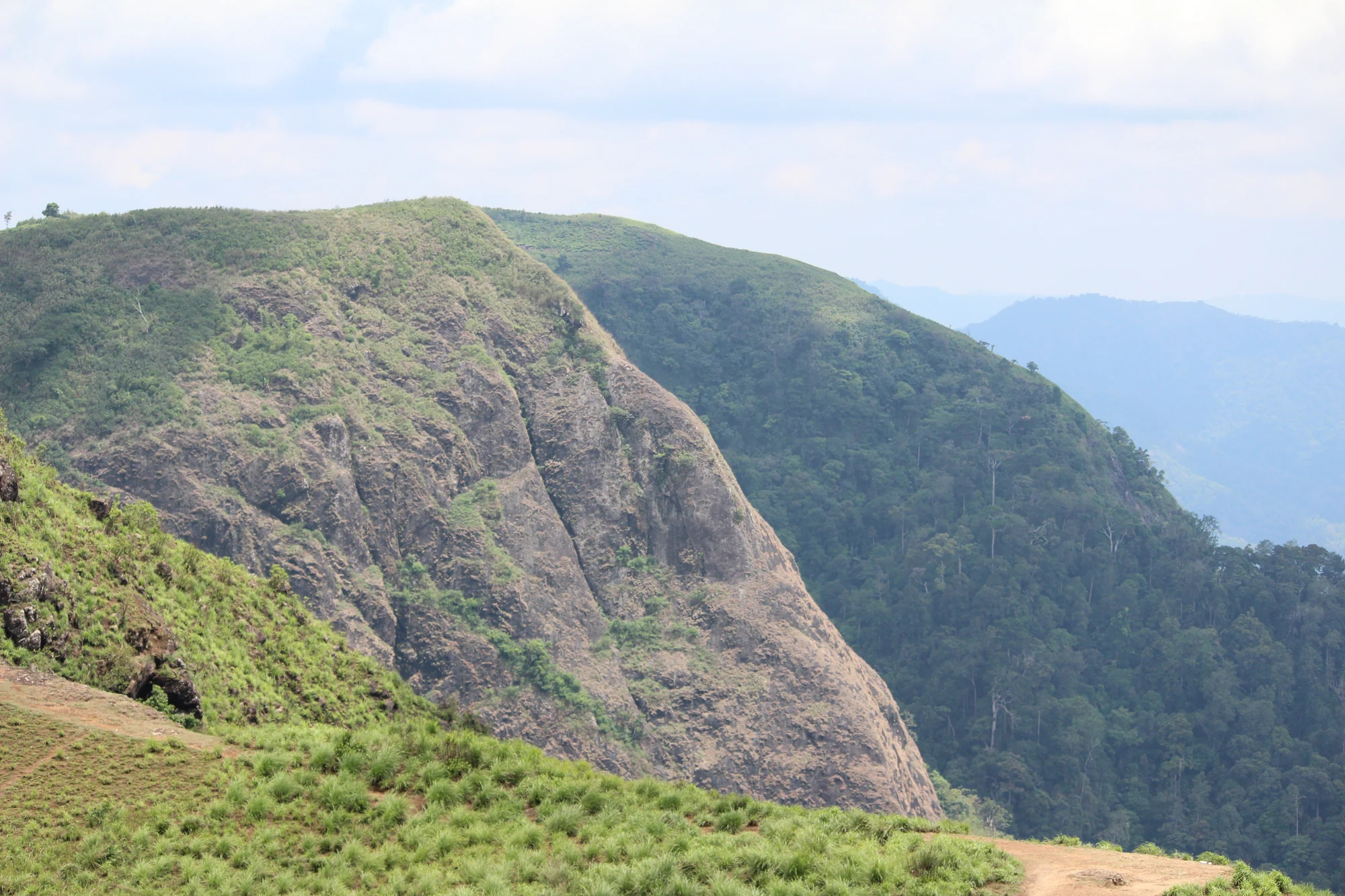
A rock-and-grass viewpoint near Peermade on the Pambanar side of Idukki, overlooking steep wooded ravines; known as Eagle Rock and for the profile-like Tagore Rock formation.
Ghat viewpoint on the Thodupuzha–Puliyanmala road overlooking the Idukki high range, a popular stop for valley views and cool breezes.
Roampedia is commission-free — own or know a stay, eatery, guide or shop near Kuttikkanam? List it and it appears here once verified.
Add a nearby businessEntry: No entry fee to visit Kuttikkanam or Peermade town itself; specific sites such as private plantation tours, viewpoints or estate stays may levy their own charges.
Festivals: There are no single defining festivals unique to Kuttikkanam; the area follows the wider Kerala calendar, with Onam (August–September), Christmas and Easter (reflecting the strong local Christian community), and church feasts such as those at St Mary’s, Peermade, being locally significant.
Photography: No general photography restriction across the hill station; misty mornings, tea gardens and viewpoints are superb for photography. Seek permission before photographing private estate bungalows, plantation workers or the interiors of institutions and churches.
If you are travelling by bus or ferry, check the return service with the operator before setting out. Leave time to reach the stop or jetty after your visit.
Ask at the bus stand for the time of the last service back, not the next one. If you miss it, an auto or app cab is the fallback — agree the fare before you get in.
If you need step-free access, contact the site before travelling. Ask about a level entrance, steps along the route, the nearest drop-off point, seating and accessible toilets.
These services are listed within about 1.2 km of Kuttikkanam. Walking distances follow mapped routes; access and opening hours can change. Other services may be closer but are not included here.
Emergency numbers are verified against official government and state tourism sources. 112 works anywhere in India.
Peermade, also written Peerumedu or Peermede, is a plantation settlement and highland landscape on the Kottayam–Kumily road in Idukki. The map uses the town centre as a visitor base, not a single hilltop attraction.
4.1 km · 4 min drive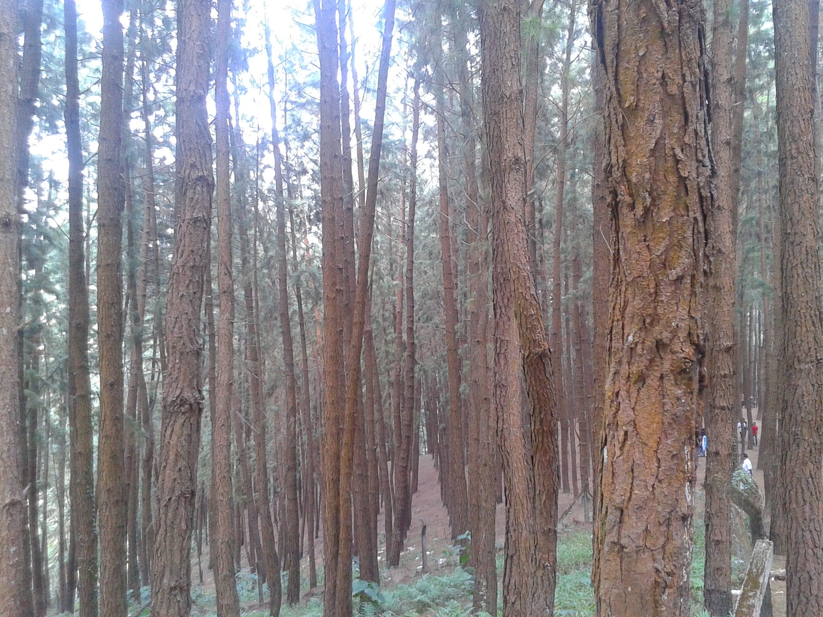
A 61.40-hectare plantation of Caribbean pine on the Kolahalamedu shoulder above Vagamon — planted in rows by the Kerala Forest Department’s research wing on land that was not legally forest at all until March 2021, and run today as a ticketed ecotourism centre with a counter, a car park and a made path. Every travel site calls it a British-era forest; the state’s own record calls it the Kolahalamedu Pine Plantation.
9.3 km · ~16 min by cab · straight lineMeadow and hill-viewpoint landscape near the Peermade/Kuttikkanam side of Idukki.
10.1 km · 11 min drive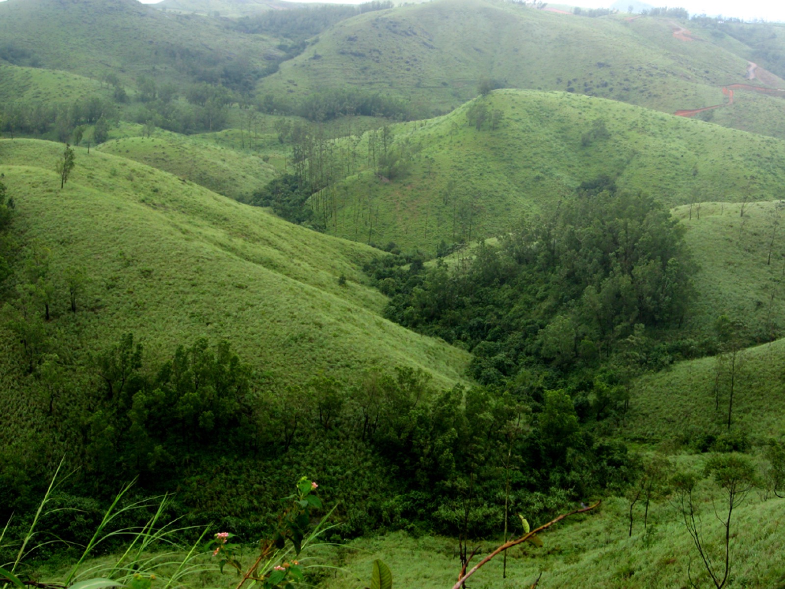
The Kolahalamedu ridge above Vagamon — grass hills the state names as one of only two accredited paragliding sites in Kerala, and the launch ground for a carnival its own website has not updated since 2015. What you come for is the open meadow ridge and the valley it drops into; whether anyone is flying on the day is a question for a licensed operator, not a website.
10.4 km · ~17 min by cab · straight line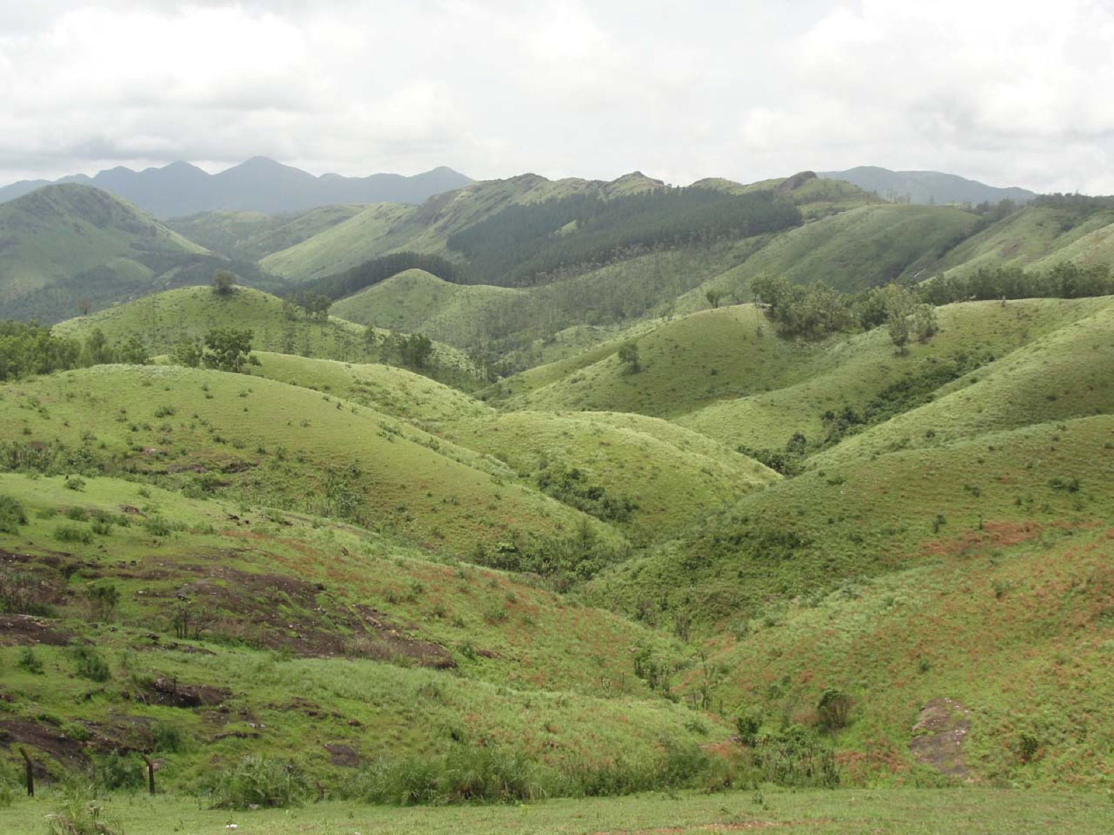
Open meadow landscape forming the classic Vagamon sightseeing circuit.
10.7 km · ~18 min by cab · straight line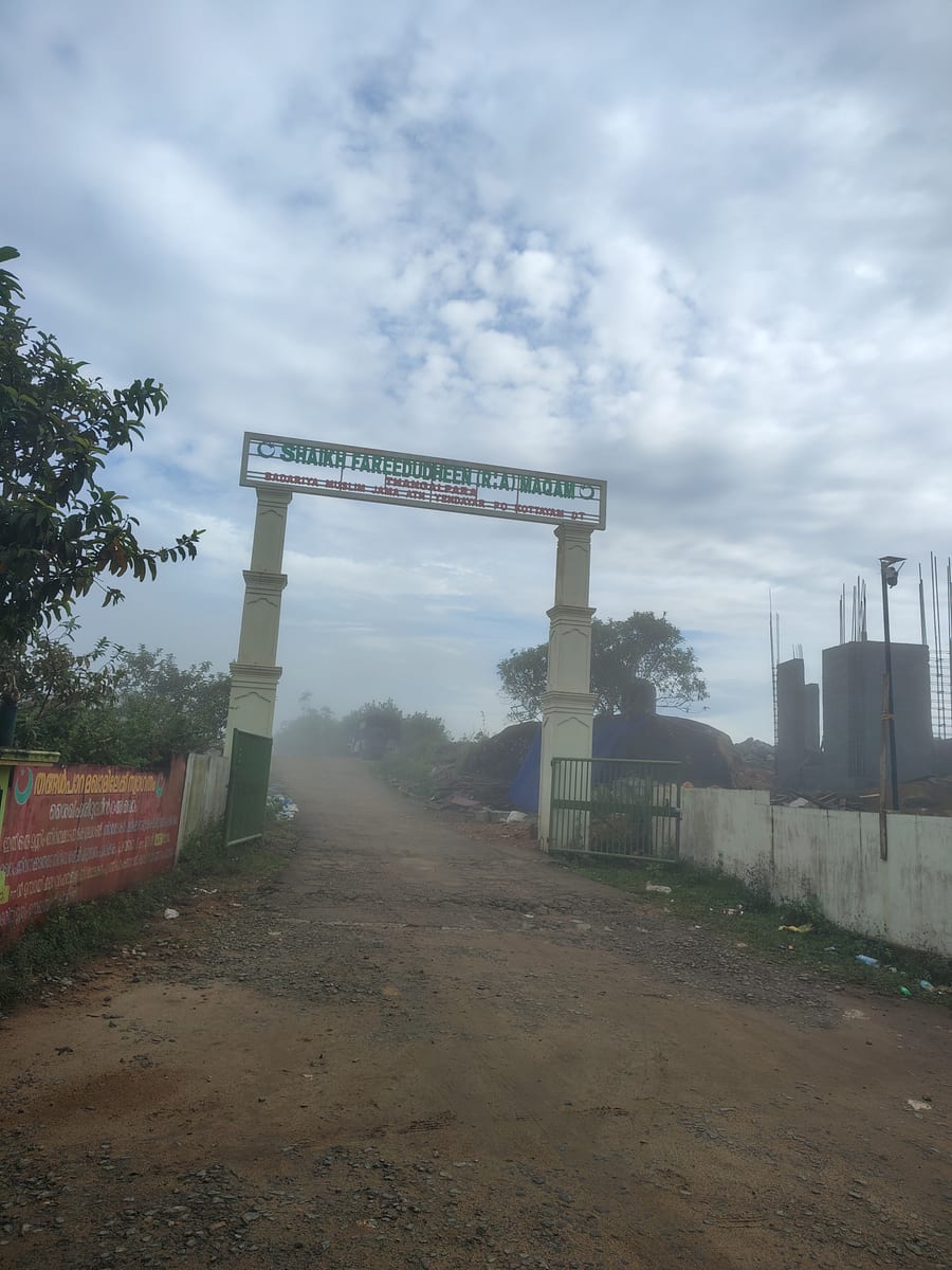
A working Muslim pilgrimage centre on a bare granite dome above Vagamon, on the Kottayam side of the district line. It calls itself the Shaikh Fareedudheen (R.A) Maqam, and the life set out at its gate — the saint’s father, mother, teachers and date of death — is that of Fariduddin Ganjshakar, Baba Farid, whose dargah is at Pakpattan in the Punjab. Kerala Tourism calls this rock his grave; the shrine says maqam, which is the smaller and more careful word.
10.9 km · ~18 min by cab · straight lineA rock-and-grass viewpoint near Peermade on the Pambanar side of Idukki, overlooking steep wooded ravines; known as Eagle Rock and for the profile-like Tagore Rock formation.
11.6 km · 13 min drive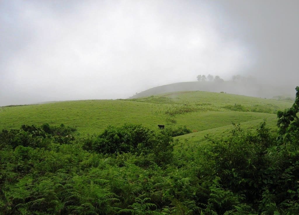
Rolling meadows, pine patches and viewpoints on the Idukki/Kottayam highland edge.
13.7 km · ~23 min by cab · straight line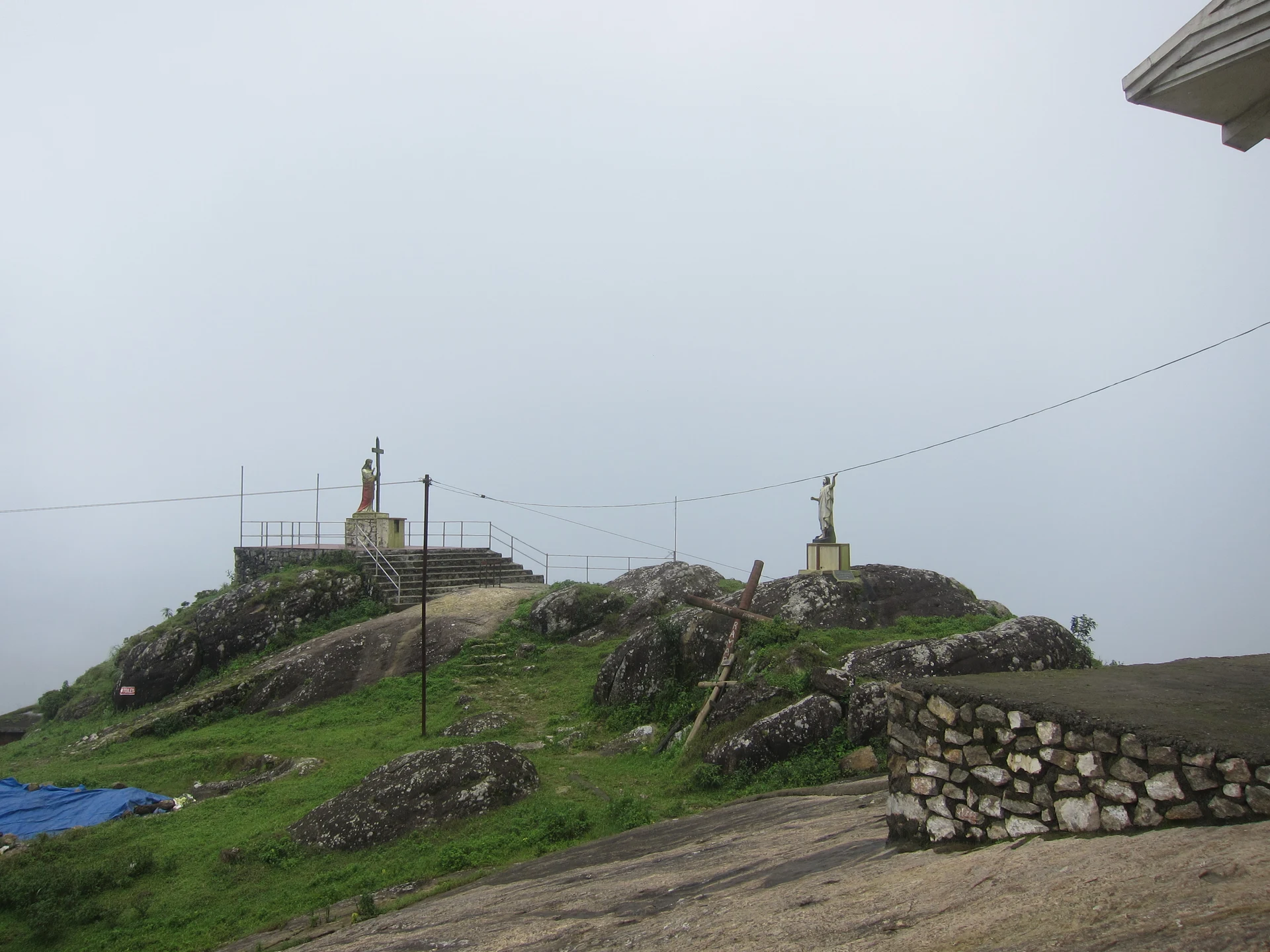
The pilgrim hill above Vagamon — a bare rock dome climbed by a 1.2 km path lined with the Stations of the Cross to St Thomas Church on the summit, and, 818 m away and lower down, the separate Cistercian monastery of Kurisumala Ashram, founded in 1958. Most descriptions run the two together; they are different places with different approaches and different people in charge.
14.0 km · ~23 min by cab · straight line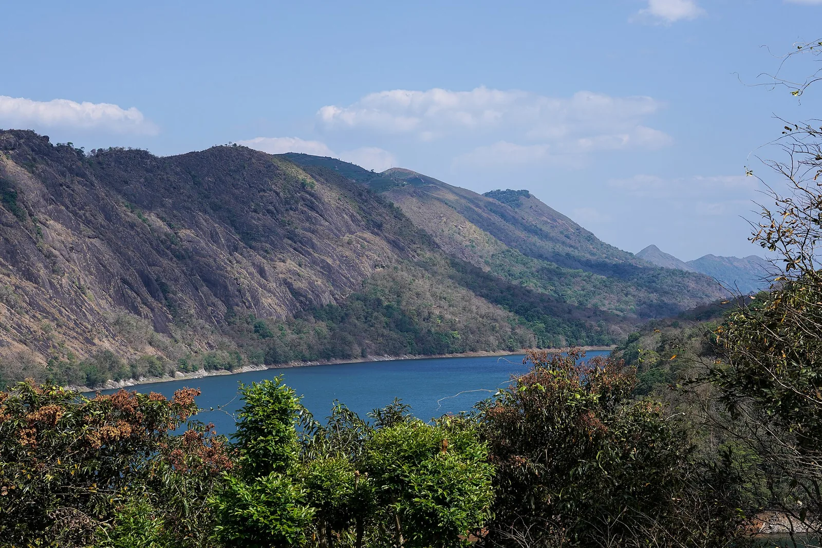
The Forest Department’s guided walk on the grass tops at the southern end of the Idukki Wildlife Sanctuary, about ten kilometres by road from Vagamon — some seven kilometres on foot up jeep track and open ridge, with the Idukki reservoir catchment below you. The state will not sell it to fewer than six people, and it will not take more than seven.
15.1 km · ~25 min by cab · straight lineThe long pedestrian suspension bridge above the Idukki reservoir at Ayyappancoil, valued for water and hill views as well as the crossing itself.
16.4 km · ~27 min by cab · straight line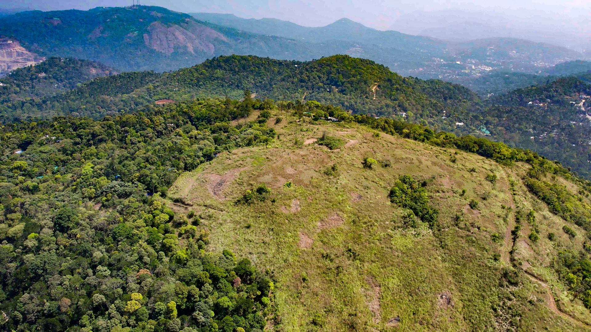
Murikkady, also mapped as Murickady, is a plantation settlement near Kumily in Idukki. Use the village as an orientation base and a separately confirmed estate entrance for a spice or plantation visit.
18.7 km · ~31 min by cab · straight lineWalking and driving times are real routed distances, except the few marked “straight line”, which are direct-line estimates and will read short. Fare figures are estimates from Kerala’s notified auto/taxi tariff and exclude waiting and night charges. Routing: © openrouteservice.org by HeiGIT | Map data © OpenStreetMap contributors
Nearby toilets, pharmacies, ATMs, seating and vets are community-mapped and may be incomplete or out of date. Map data © OpenStreetMap contributors | Walking times © openrouteservice.org by HeiGIT
Kuttikkanam is a hill station in Idukki district, Kerala, on the Kottayam–Kumily road within the Peermade highlands. It sits at roughly 1,100 metres (about 3,500 feet) above sea level, which is why it stays cool and misty through the year.
The cool, settled months from around September to January are generally considered the most pleasant, with clear misty mornings. The southwest monsoon (roughly June to August) brings heavy rain and dramatic greenery but slippery trails, so pack accordingly.
Both are Western Ghats tea hill stations, but Kuttikkanam and the surrounding Peermade area are far quieter and less commercialised than Munnar. Expect fewer crowds, more colonial-plantation heritage and a slower, more contemplative feel.
Plantation walks, trekking through meadows and pine forest, chasing misty viewpoints such as Panchalimedu and Parunthumpara, spotting birds and the occasional bison, and soaking up the colonial bungalow heritage. It is more about slow immersion than ticking off big sights.
Yes — the cool climate, scenic estates and peaceful atmosphere suit families and couples looking to unwind. There are plantation stays and homestays in and around Kuttikkanam and Peermade, though some hillside trails and viewpoints involve walking, so factor that in for very young children or elderly travellers.
The usual approach is by road from Kottayam (the nearest major railhead, roughly 60–70 km away) via Kanjirappally and Mundakayam on the Kottayam–Kumily route. State and private buses run along this highway, and taxis are readily hired from Kottayam or Kanjirappally.
October to March for cool clear weather; monsoon is scenic but can bring slippery roads and closures.
Entry: No entry fee to visit Kuttikkanam or Peermade town itself; specific sites such as private plantation tours, viewpoints or estate stays may levy their own charges. Timings: Kuttikkanam is an open hill-station area rather than a gated attraction, so the town, roads and viewpoints can be enjoyed at any time; daylight hours are best for walks and views, as mist and poor lighting set in by evening.
Base yourself in Idukki and Cheruthoni or a nearby town in Idukki, then confirm the last-mile route locally before leaving. Start early; ghat roads, mist and viewpoints are better before afternoon crowds. If the visit depends on forest, temple, boat, ferry, weather or seasonal access, check the official/local rule on the day before travel.
Half day to 2 days depending on viewpoints and treks.
Nearby you can pair Peermade (4.1 km), Pine forest (9.3 km), Panchalimedu (10.1 km), Paragliding viewpoints (10.4 km).
Avoid cliff edges and closed viewpoints. Use experienced drivers on steep ghat roads.
We have not published a story about Kuttikkanam itself yet. These cover Idukki and Cheruthoni and the wider district, with separate journeys between stops.
These guides explore Idukki and Cheruthoni and the surrounding area. Choose a visit that fits your interests, allowing separately for travel between stops.


Route-level itineraries and practical guides for the rest of Kerala.
Photographs: Vi1618 (Public domain), arungopi (CC BY-SA 4.0), Geoshrad at English Wikipedia (Public domain), Department of Tourism, Government of Kerala (© Kerala Tourism), Alanjs (CC BY-SA 4.0). Wikimedia Commons.