Perunthenaruvi Waterfalls

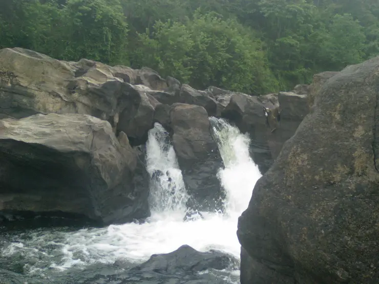
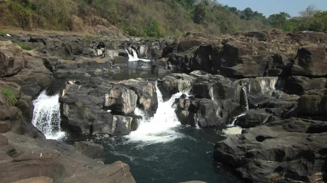
Perunthenaruvi Waterfalls spreads across a rocky river bed in the Ranni part of Pathanamthitta district. Its character comes from several channels, exposed slabs and wooded banks rather than one narrow vertical curtain. DTPC’s visitor route runs through Ranni, Athikkayam and Kudamurutty. The nearby Perunthenaruvi hydel project shares the name, but its weir, channels and powerhouse are separate from the public waterfall visit. Come for the admitted river view and follow the managed approach; exposed rock is not an invitation to cross or swim.

Perunthenaruvi Waterfalls, Perunthenaruvi, Ranni
Practical guide

Plan Perunthenaruvi Waterfalls

Who's going?Tailor Perunthenaruvi Waterfalls to your trip
Typewaterfall
AreaPerunthenaruvi, Ranni
DistrictPathanamthitta
Best timeThe monsoon brings a more forceful…
Time neededAllow roughly 60–90 minutes for…
Entry₹30
Places to visit6Listed businesses18
The story

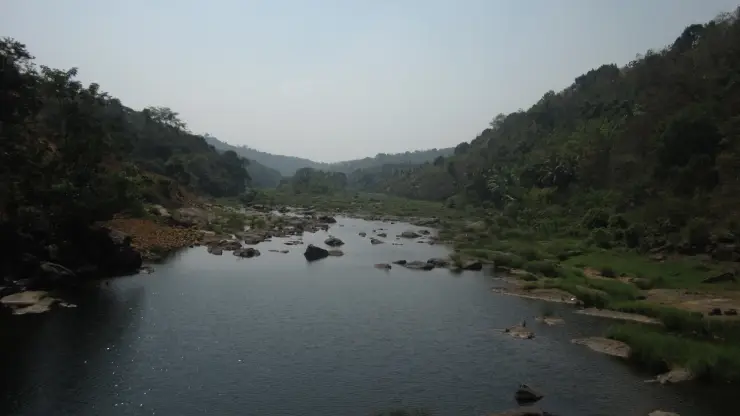
Perunthenaruvi is best read across the width of the river. A broad rock surface breaks the water into separate white channels, with darker pools and wooded banks around them. The landscape changes markedly with flow, but the relationship between rock, current and the visitor’s position remains central.

The story of Perunthenaruvi Waterfalls

The falls do not present one simple outline. In a broad view, the water finds several routes through the exposed rock before continuing downstream. A channel can be narrow and forceful while an adjoining slab appears dry. Seeing the whole scene prevents the quietest visible patch from being mistaken for the condition of the river as a whole.

The rocks provide much of the waterfall’s visual structure. Their rounded and sloping surfaces interrupt the current, making white water more prominent in some places than others. In photographs taken under different conditions, the same landscape can appear as a rocky river with a few channels or as a much fuller spread of moving water.

DTPC emphasises width in its description of Perunthenaruvi. That is a useful visitor cue because it directs attention away from a single height statistic. The broad composition, the channels and the wooded margins explain the place more clearly than an unsupported number attached to one drop.

The district administration highlights the monsoon appearance, when the water becomes stronger and more audible. Lower-flow photographs reveal more rock. Neither condition should be turned into a general promise of access: the admitted route and the day’s river conditions determine where visitors can stand.

The name supplies a different kind of detail. Kerala Tourism explains Perunthenaruvi through the idea of a honey stream and associates it with beehives in the surrounding woods. This is a published local name account. It is not a promise that visitors will find visible hives or that honey collection forms part of a public visit.

The river belongs to a wider managed basin. KSEB’s 2012 project document places the small hydel scheme in the Pamba basin and describes a diversion weir upstream of the falls, with a powerhouse below. This layout helps distinguish the natural cascade from the engineered structures sharing the Perunthenaruvi name.

The hydel project later entered the state’s generation record in 2017. Its presence adds a modern infrastructure layer to the locality, but it does not turn a waterfall ticket into permission to enter the weir, power channel or powerhouse. Those components have a working purpose separate from the visitor view.

The approach through Ranni, Athikkayam and Kudamurutty matters because there are different banks and local road connections around the river. A driver needs the actual visitor entrance, not just a broad locality or a project coordinate. KSEB’s engineering location is useful for understanding the scheme, but it is not the point a waterfall visitor should automatically navigate to.

A careful photograph can show the river’s breadth without placing anyone on an exposed slab. Include the wooded bank or a section of downstream channel to give the white water context. A tight crop of one chute is a different image, useful for its texture but less informative about the layout.

The most rewarding visit keeps that wider reading intact. The falls are a river landscape, a named local place and a neighbour to hydel infrastructure. Understanding those three aspects gives the outing depth without inventing a swimming pool, an unrestricted rock walk or a guaranteed adventure programme.

The hydel scheme’s scale becomes clearer when capacity and water movement are considered separately. The State Planning Board records 6 MW of installed capacity. KSEB’s earlier design describes an 18-metre net head, the usable height difference for power generation. A megawatt figure is a generating capacity, while head describes the drop used by the machinery. Neither measures the height of the natural waterfall that a visitor is looking at from the riverbank.

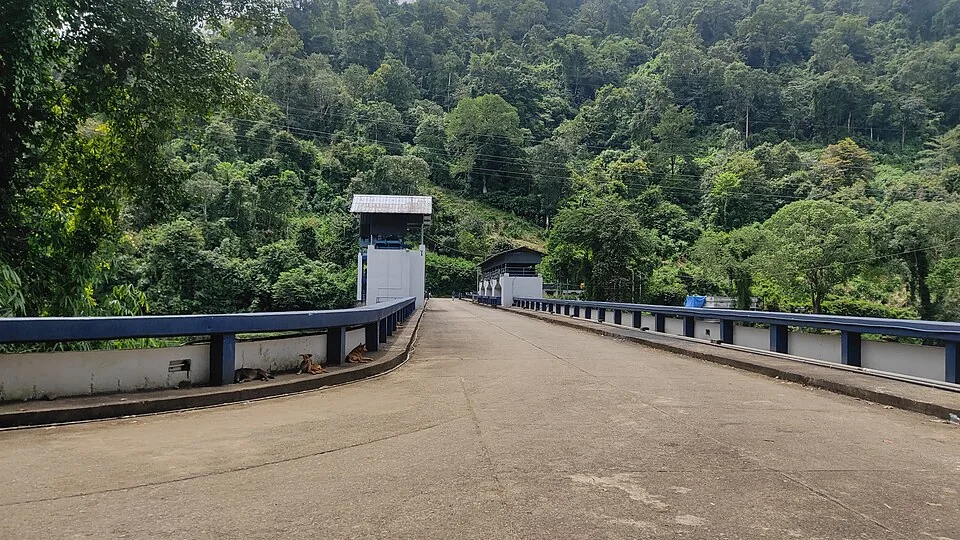
KSEB’s 2012 layout places a diversion weir upstream, a power channel leading towards a forebay, and penstocks taking water to turbines before its return to the river. These are successive parts of a water route with a specific engineering purpose. The document helps explain why several structures can share the Perunthenaruvi project name without all being the dam or the waterfall. The public steps shown on this page serve the visitor approach; they are not an access route through that sequence of working components.

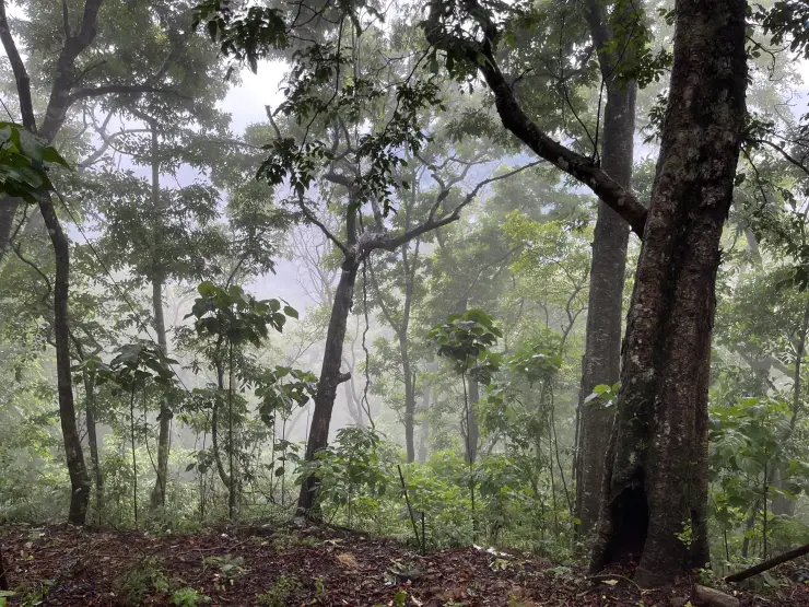
The wooded margin offers a quieter visual contrast to the main chutes. In an archival photograph, overhanging branches and bamboo surround a small pocket of dark water among rocks. The image shows how varied the river edge can be over a short stretch: bright moving water in an exposed channel, then reflections beneath vegetation. It is a landscape detail, not an identified bathing place. Stay within the permitted viewing area even when a shaded pool looks calm.

A group arriving from the Ranni side should settle the bank and entrance before separating into different vehicles. A map search for the hydel project can lead towards infrastructure; a waterfall photograph may have been taken from a position that is inaccessible from the chosen road. Use the same named visitor approach for the driver, the group and the return pickup. This is especially useful when someone plans to remain at the entrance while others use the steps.

Perunthenaruvi's water arrives through a catchment extending well beyond the visible gorge. KSEB's 2012 project description includes the Pamba and Azhutha rivers and identifies upstream relationships with the Azhutha diversion and the Pamba and Kakki dam sites. This makes the waterfall part of a connected basin with several kinds of water use. The wooded bank immediately opposite a visitor is only the nearest edge of that much larger drainage landscape.

The same document describes the scheme as run-of-river. Its proposed water route ends with a tailrace returning water to the parent river after generation. The purpose is to use a difference in level along the river, rather than treat the whole waterfall locality as a large storage reservoir. The distinction helps when reading a map: a diversion structure, a channel and a powerhouse can occupy different points, while the natural river continues through the landscape between and around the project components.

KSEB's planning figures also separate installed capacity from annual generation. Capacity describes the output the machinery is designed to deliver under the relevant operating conditions; annual generation counts electricity produced over time. A visitor should therefore not read the project's 6 MW rating as a claim that it produces that amount continuously in every season. The 2012 document's annual water and energy estimates belong to its design calculations, not to a measurement of today's flow over the rocks.

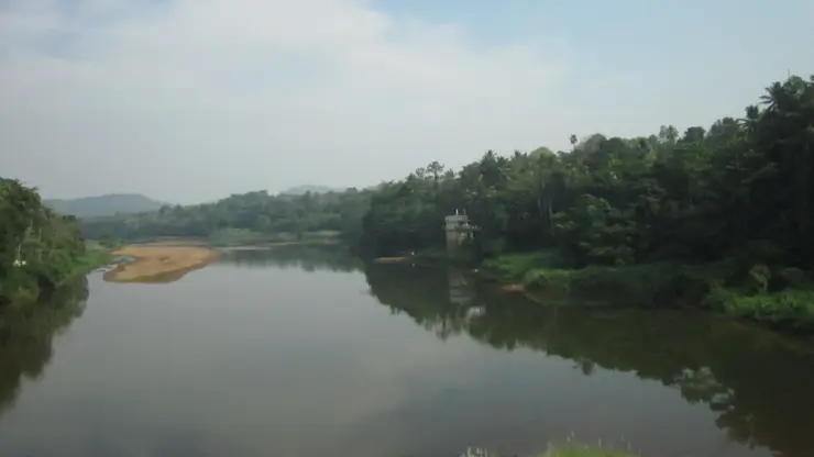
That distinction gives the river view an additional question: where is the water moving, and what changes in level can be seen from the permitted bank? The answer need not include identifying every project structure. A narrow chute, a spread of white water and the downstream channel already show water responding to the shape of the ground. The engineering account adds a separate, deliberate use of that change in level. Appreciating both makes Perunthenaruvi more than either a scenic waterfall photograph or a power-project statistic, while keeping the public visit within its own clearly defined space.
Read the full history of Perunthenaruvi Waterfalls 151 more words

History

Kerala Tourism explains the name Perunthenaruvi as a honey-stream name connected with beehives in the surrounding woods. This is presented as a local naming account.

KSEB’s 2012 stakeholder document records the planned relationship between an upstream weir, the falls and a downstream powerhouse in the Pamba basin. It provides engineering geography rather than a current visitor route.

The State Planning Board’s Economic Review 2017 records the 6 MW Perunthenaruvi small hydel project as commissioned in October 2017.

Current DTPC guidance treats the waterfalls as a visitor destination with an on-site admission arrangement and a Tuesday holiday, distinct from the working hydel asset.

Why visit

See a broad rocky cascade whose channels and exposed surfaces change with river flow.

Understand the honey-stream name in relation to the wooded locality.

Read the difference between a natural waterfall and nearby hydel infrastructure.

Make a focused Ranni-side river outing using a definite visitor approach and return plan.

What to expect

Highlights

  • Water divides around rock outcrops before gathering into stronger channels, giving the falls a broad, layered appearance.
  • Different flow conditions reveal different proportions of rock and water. The district administration specifically highlights the stronger monsoon appearance.
  • The name is explained by Kerala Tourism as a honey-stream name associated with beehives in the surrounding woods.
  • The waterfall landscape lies within the Pamba basin, where KSEB’s project documents distinguish the upstream diversion weir from the falls below.
  • The Ranni–Athikkayam–Kudamurutty approach supplies a specific road plan rather than an approximate pin in the river.
Getting there

How to visit

  • Set the waterfall visitor approach as the destination, distinguishing it from the Perunthenaruvi weir or powerhouse. Agree the same arrival point with the driver.
  • Use DTPC’s Ranni–Athikkayam–Kudamurutty route as the main road reference, then follow the current local visitor entrance signs.
  • Complete the on-site admission arrangement and use only the open viewing route. The day’s restrictions may change with river and weather conditions.
  • Begin with the broad view across the rock bed before looking for individual channels. This makes the waterfall’s shape easier to understand without moving closer to the current.
  • Keep dry exposed slabs outside the admitted route out of the walking plan. Water-polished rock and separated channels are not safe stepping-stone routes.
  • Return to the agreed pickup point before the visitor area closes. Continue to Ranni or the next established town stop for the full meal and onward transport.

Distance by road

  • Thiruvananthapuram103 km
  • Kochi119 km
  • Madurai243 km
  • Coimbatore287 km
  • Kozhikode311 km

Road km to Pathanamthitta; ghat roads and traffic vary — allow extra.

Timing

Best time

The monsoon brings a more forceful appearance, while lower-flow periods expose more of the rock bed. Choose a day when the managed visitor approach is open and weather conditions allow the admitted viewing position to be used. Strong flow improves neither footing nor access, and a quiet-looking channel does not establish safe entry into the river.

Weather in Perunthenaruvi WaterfallsSeasonal guide

Live forecast loads in your browser.

Today at Perunthenaruvi Waterfalls
Sunrise6:12 am
Sunset6:21 pm
Golden hour best light5:21 pm–6:21 pm
Blue hour after sunset6:21 pm–6:46 pm
Sun sets toward compass bearingW · 272°
Moon tonight🌓 First quarter · 53%
South-west monsoon. June to September brings heavy rain to Kerala. Trails, falls and ghat roads can be slippery, swollen or closed at short notice, and forest departments sometimes suspend access. Check locally on the day before you travel.

Check the official alert before you travel. Kerala’s beaches, waterfalls and trekking routes close at short notice during heavy rain, and district alert levels change day to day. We do not publish an alert level of our own — read it from the state authority: Kerala State Disaster Management Authority, or the district control room on 1077.

Sun and moon are calculated for this location and shown in IST. Photography windows are the hour around sunrise and sunset; the sunset bearing is degrees clockwise from true north. Moon phase is accurate to about half a day.

Visitor notes

  • DTPC lists Tuesday as the weekly holiday. Do not plan a long road detour without checking the day of the visit.
  • The hydel scheme and the waterfall share a locality name. A photograph of a weir or power building should not be captioned as the waterfall entrance.
  • Several published tourism descriptions give incompatible height figures. This guide describes the visible broad cascade without presenting an unverified exact drop.
Safety

Good to know

  • Stay on the admitted visitor approach and behind any current barriers.
  • Do not swim, wade or cross the river bed as part of this visit.
  • Keep away from channels, wet rock edges and hydel infrastructure even when water appears low.
  • Follow a closure or staff instruction immediately when rain or river conditions affect the viewing area.
Official eco & forest programmes

Experiences around Perunthenaruvi Waterfalls

These are official or public-sector eco offerings that match this place, town or forest destination. Confirm availability, permits, tariffs and reporting times with the official operator before travel.

Perunthenaruvi Waterfalls, Perunthenaruvi Waterfalls
waterfall

Perunthenaruvi Waterfalls forest visit

Rocky waterfall and river landscape on the Pamba tributary system, listed among Kerala ecotourism destinations.

Kerala Forest Department / local tourism authorities
Official source →
Stay · eat · do · rent · see · shop

Stays, food & things to do near Perunthenaruvi Waterfalls

Verified hotels, homestays, restaurants, experiences, sights, shops and rentals around Perunthenaruvi Waterfalls — commission-free, with direct contact. Filter by what you need.

10 things to do near Perunthenaruvi Waterfalls

Malayalappuzha Devi Temple Visit — Temple visit in Pathanamthitta town
Top pick Verified
Temple visit · Pathanamthitta town
Malayalappuzha Devi Temple Visit

Kerala Tourism-sourced temple visit near Pathanamthitta town. Pathanamthitta-town, do, Temple visit.

Directions Commission-freeView details
Four One Taxi Pathanamthitta — Taxi service in Pathanamthitta town
Verified
Taxi service · Pathanamthitta town
Four One Taxi Pathanamthitta

Four One Taxi lists Pathanamthitta service coverage for local rides, airport transfers, outstation cabs, tour packages and pilgrimage or sightseeing transport. Mannathu House, Kozhencherry Road, ParuthiPalam, Mallapally, Pathanamthitta district, Kerala · Taxi, Airport transfer, Sightseeing.

Directions Commission-freeView details
Vedagram Omallur Ayurveda — Ayurveda centre in Pathanamthitta town
Verified
Ayurveda centre · Pathanamthitta town
Vedagram Omallur Ayurveda

Ayurveda centre in Pathanamthitta town. Ayurveda, Omallur, Wellness.

Directions Commission-freeView details
Perunthenaruvi Waterfalls Kerala Tourism — Waterfall in Pathanamthitta town
Verified
Waterfall · Pathanamthitta town
Perunthenaruvi Waterfalls Kerala Tourism

Waterfall in Pathanamthitta town. Perunthenaruvi, Pathanamthitta district, Kerala · Perunthenaruvi, Waterfall, Pamba River.

Directions Commission-freeView details
DTPC Pathanamthitta Tourist Information — Tourist information in Pathanamthitta town
Verified
Tourist information · Pathanamthitta town
DTPC Pathanamthitta Tourist Information

Official DTPC Pathanamthitta contact anchor for district visitor planning. Public information · DTPC Pathanamthitta, Tourist information, District contact.

Directions Commission-freeView details
A
Aswathibhavan Chikilsanilayam
Things to do
Top pick Verified
Ayurveda centre · Pathanamthitta town
Aswathibhavan Chikilsanilayam

Aswathibhavan Chikilsanilayam is a long-established Ayurveda centre in Thiruvalla, Pathanamthitta, founded in 1922 and among the oldest Ayurvedic institutions in central Kerala. It offers classical panchakarma, rasayana rejuvenation and ENT-focused treatment under experienced physicians.

Directions Commission-freeView details
A
Anima Ayurvedic Medical Centre
Things to do
Top pick Verified
Ayurveda centre · Pathanamthitta town
Anima Ayurvedic Medical Centre

Anima is a Kerala Ayurveda hospital on Kottayam Road in Mallappally, Pathanamthitta, grown from a 1984 clinic into a full centre with an in-patient wing in 2004. It runs classical panchakarma along with post-natal, orthopaedic, skin and paediatric care from a GMP-certified own medicine unit.

Directions Commission-freeView details
I
International Tours and Travels Pathanamthitta
Things to do
Verified
Travel agent · Pathanamthitta town
International Tours and Travels Pathanamthitta

Kerala Tourism-listed travel agent at SCS Junction in Pathanamthitta. Travel agent, SCS Junction, Pathanamthitta.

Directions Commission-freeView details
A
Akbar Travels Pathanamthitta
Things to do
Verified
Travel agent · Pathanamthitta town
Akbar Travels Pathanamthitta

Kerala Tourism-listed travel agent opposite KSRTC Pathanamthitta. Travel agent, KSRTC, Pathanamthitta town.

Directions Commission-freeView details
C
Call Taxi Pathanamthitta
Things to do
Verified
Taxi service · Pathanamthitta town
Call Taxi Pathanamthitta

Taxi service in Pathanamthitta town. Shaji Building, TB Road, Pathanamthitta, Kerala 689645 · Taxi, Pathanamthitta transfers, Gavi transfers.

Directions Commission-freeView details

Book with the place itself. India’s cyber-crime coordination centre warned in April 2025 that convincing copies of hotel and pilgrimage booking sites are being pushed through sponsored search and social ads, taking payment for rooms the property never hears about. Every listing here links to the business’s own contact details and its own Google or Bing profile — we take no commission and sit in nobody’s payment path. If a booking page reached you through an ad, check the address bar against the property’s own site before you pay. Fraud can be reported on cybercrime.gov.in or on 1930.

Ranked guides

Top experiences around Perunthenaruvi Waterfalls

4 separate places to consider after Perunthenaruvi Waterfalls. Open each guide before deciding: their access, hours and return arrangements are independent.

townErumely

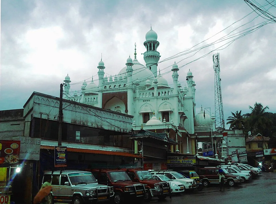
The Kottayam-border town where the traditional Sabarimala pilgrimage begins, with the Vavar mosque standing beside the Sastha temple.

templeMalayalapuzha Devi Temple

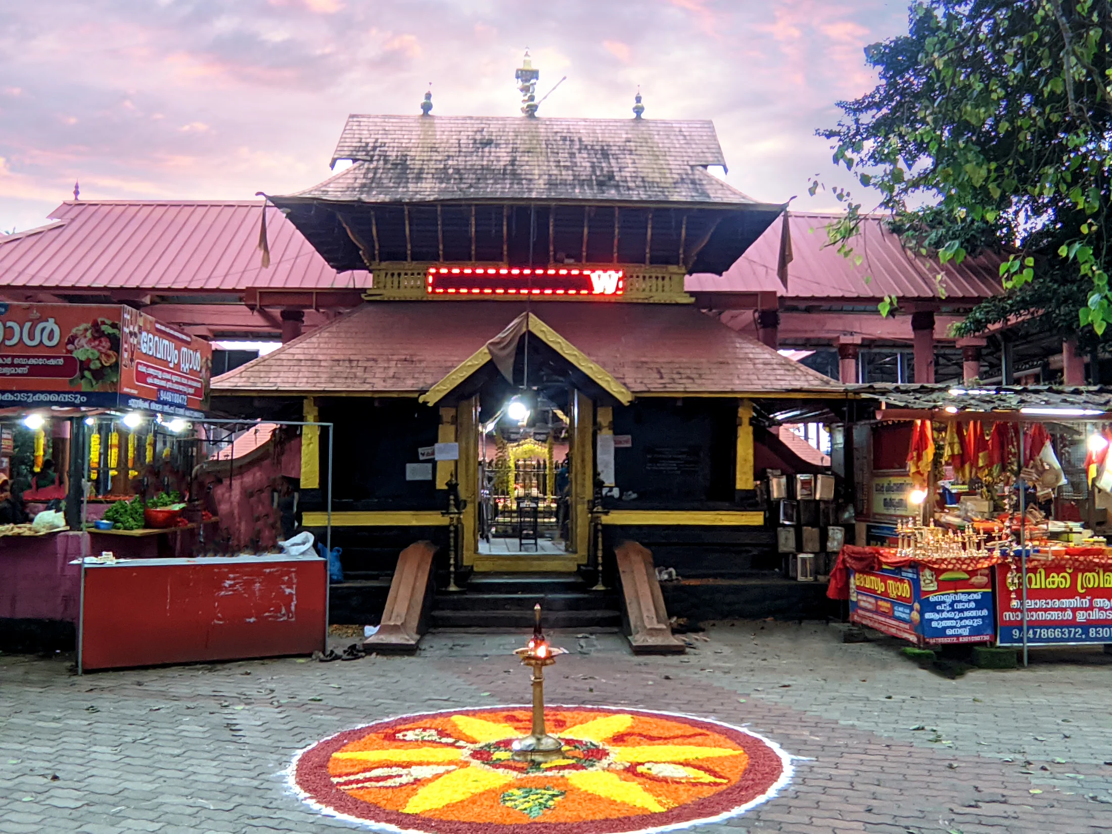
Malayalapuzha, also written Malayalappuzha, is the Bhadrakali temple near Kumbazha in Pathanamthitta district, administered by the Travancore Devaswom Board.

heritageNilackal

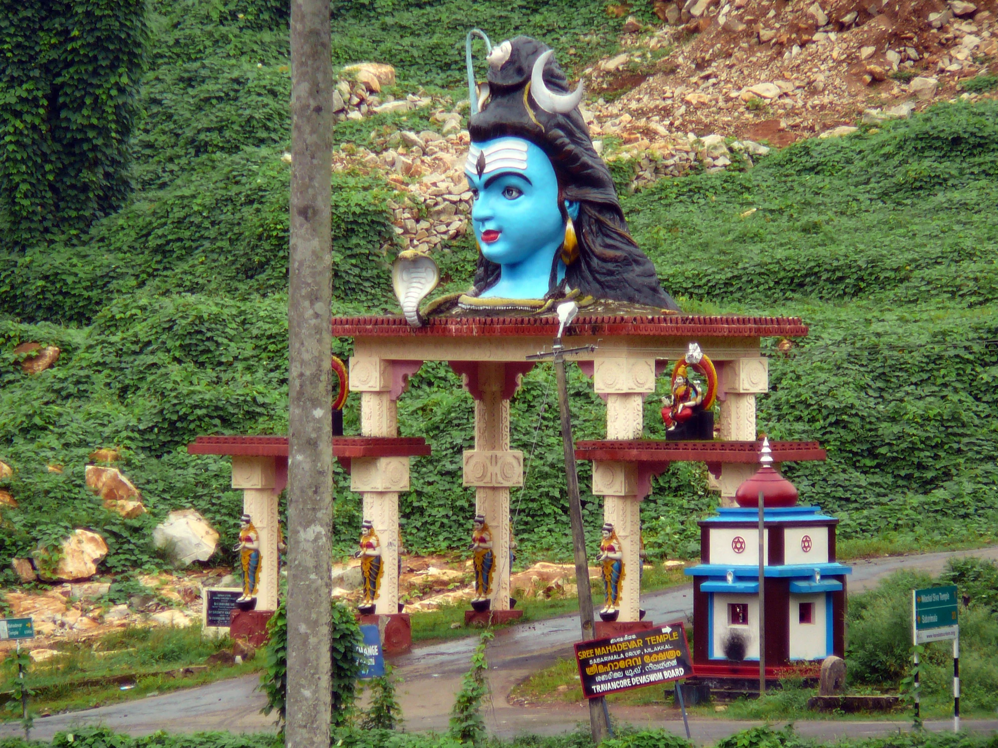
The Nilackal sacred landscape on the Pathanamthitta–Pamba road: Mahadeva Temple, the separate St Thomas Ecumenical Centre and the pilgrimage setting; Nilakkal is an alternative spelling.

trekKonni Adavi trek

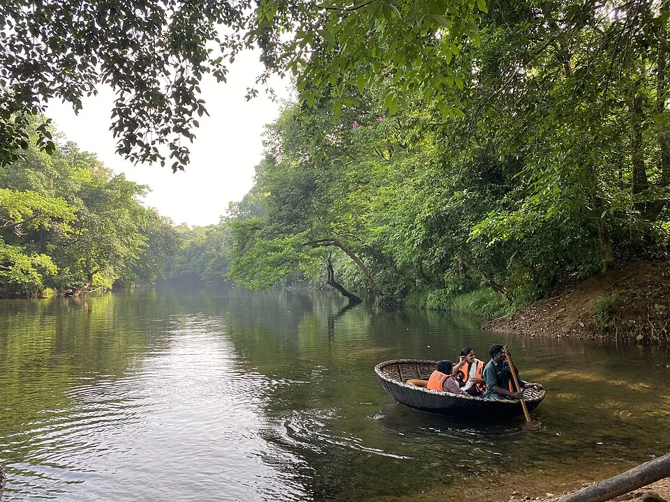
Adavi is a managed Kallar-river ecotourism stop, not a long independent trek: the official product is a short or long staff-run coracle ride through a forested 5 km reach, with separate tree-hut stays and an Adavi–Gavi bus tour.

Roampedia is commission-free — own or know a stay, eatery, guide or shop near Perunthenaruvi Waterfalls? List it and it appears here once verified.

Add a nearby business
Before you go

Perunthenaruvi Waterfalls — at a glance

TimingsDTPC: 09:30–17:00; Tuesday holiday. Weather-related restrictions may apply.
Entry price
Indian adult
₹30

Fees change without notice. Check the current rate at the counter.

Entry: DTPC lists adults ₹30 and children ₹15; the child age band is not specified.

Booking: DTPC states that only offline booking is available.

Parking: Use the locally directed visitor parking arrangement and leave the entrance and local roads clear. The cited destination guidance does not establish a published parking capacity or tariff.

Getting here

How to reach Perunthenaruvi Waterfalls

  • ✈︎ By air Thiruvananthapuram International Airport is about 140 km away in DTPC’s guidance. Complete the journey by road through the chosen Ranni-side approach.
  • 🚆︎ By train DTPC lists Chengannur railway station about 47 km away. The district administration also gives Thiruvalla about 44 km away; select the rail gateway around the actual onward road arrangement.
  • 🚗︎ By road Use the Ranni–Athikkayam–Kudamurutty–Perunthenaruvi route identified by DTPC, then the current waterfall visitor signs. Do not substitute the hydel weir approach.
  • 🚌︎ By bus DTPC places Ranni bus stand about 19 km away. Confirm the local service towards the agreed approach and arrange the final stretch and return pickup.
Getting back

Return along the admitted visitor route to the agreed vehicle point and continue through the Ranni-side road connection.

Do

Things to do

  • Observe the distribution of water across the broad rock bed.
  • Compare the channels with the quieter downstream river view from admitted positions.
  • Photograph the cascade with its wooded banks for context.
  • Learn the published honey-stream explanation of the name.
  • Understand the nearby hydel system without entering its operational areas.
Facilities

On site

  • On-site admission is the booking arrangement listed by DTPC.
  • Use Ranni or another established town stop for the full meal and onward transport plan.
  • A public swimming enclosure, changing facility and wheelchair route are not established by the cited visitor guidance.
Getting around Perunthenaruvi Waterfalls
From the entrance
Public steps from Perumthenaruvi Road, north bank
Step-free access
The visit concerns an outdoor river and rocky landscape. A continuous step-free viewing route is not verified. Confirm the exact admitted surface, drop-off and available assistance for the individual visitor rather than assuming that road access reaches the viewpoint.

Checked 7 September 2026 against source 1source 2. Conditions change and surfaces vary with weather — if step-free access is essential, confirm with the site before you travel.

If you need help at Perunthenaruvi Waterfalls
112All emergencies (police · fire · medical)The single number to call in any emergency (ERSS).

Emergency numbers are verified against official government and state tourism sources. 112 works anywhere in India.

Eat nearby

What to eat in Pathanamthitta town

Plan the meal on the Ranni-side road journey. The waterfall visit is a defined outdoor stop, and the public admission information does not establish a dependable full-meal service at the viewing area.

Explore food in Pathanamthitta town →
01

A meal in Ranni

An established town restaurant fits the bus and road connections before or after the waterfall detour.

02

Tea on the return route

Stop at a lawful roadside shop after leaving the visitor approach, keeping the local access road clear.

03

A meal at the booked stay

If staying outside Ranni, agree dinner with the property around the actual return journey rather than relying on a late waterfall-side option.

Nearby

What’s near Perunthenaruvi Waterfalls

townErumely

The Kottayam-border town where the traditional Sabarimala pilgrimage begins, with the Vavar mosque standing beside the Sastha temple.

templeMalayalapuzha Devi Temple

Malayalapuzha, also written Malayalappuzha, is the Bhadrakali temple near Kumbazha in Pathanamthitta district, administered by the Travancore Devaswom Board.

heritageNilackal

The Nilackal sacred landscape on the Pathanamthitta–Pamba road: Mahadeva Temple, the separate St Thomas Ecumenical Centre and the pilgrimage setting; Nilakkal is an alternative spelling.

C
Chuttippara
Place
trekChuttippara

The prominent rock hill above Pathanamthitta, reached by a steep local climb with broad town and highland views; heat, wet rock and exposed edges shape the visit.

trekKonni Adavi trek

Adavi is a managed Kallar-river ecotourism stop, not a long independent trek: the official product is a short or long staff-run coracle ride through a forested 5 km reach, with separate tree-hut stays and an Adavi–Gavi bus tour.

C
Charalkunnu
Place
viewpointCharalkunnu

A breezy ridge and retreat landscape above the Pamba country near Kozhencherry, suited to a short viewpoint visit rather than being presented as a developed hill station.

wildlifeKonni Elephant Camp

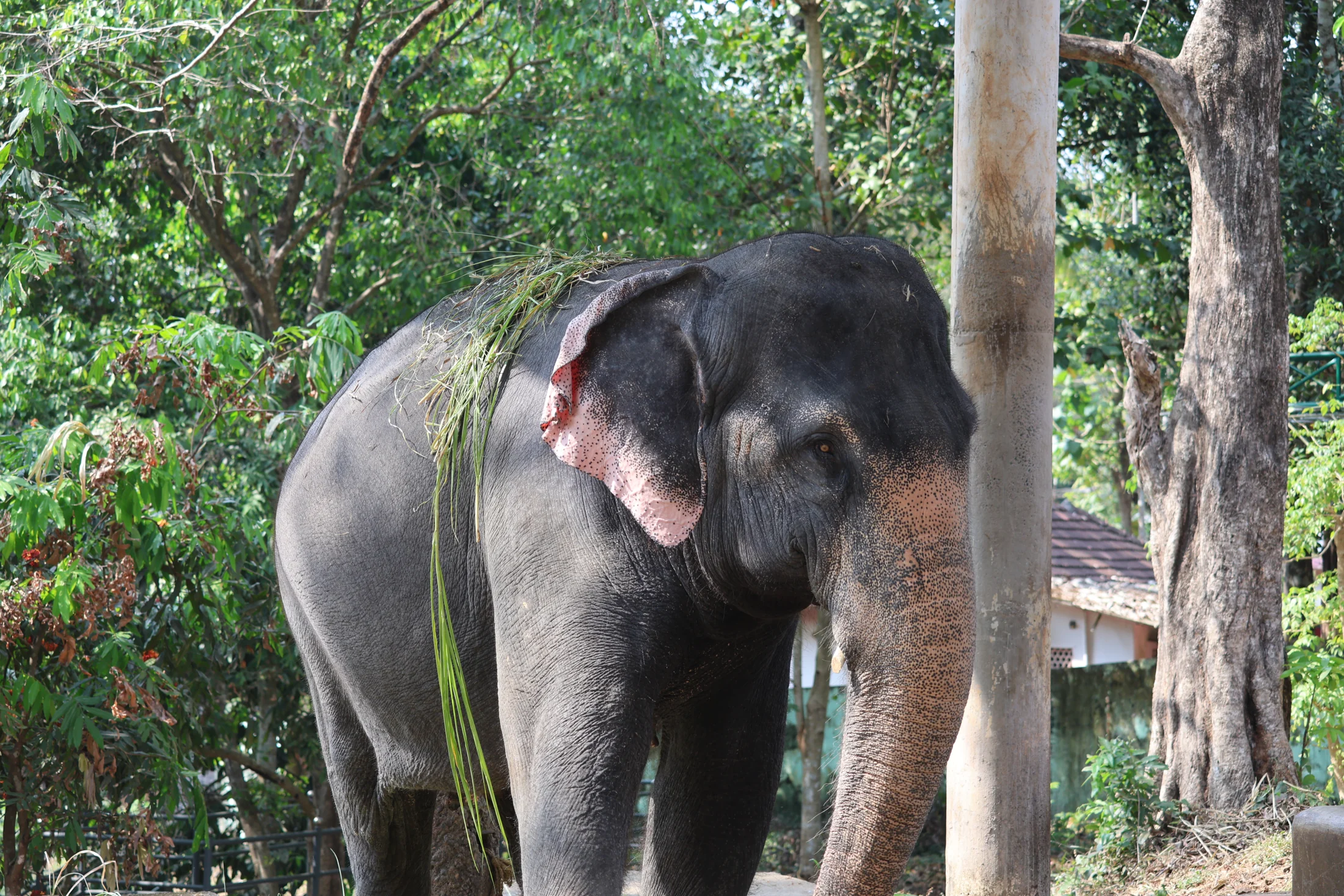
Konni’s Anathavalam combines a historic timber kraal, elephant-care areas and a museum within the Forest Department’s ecotourism campus.

templeSabarimala

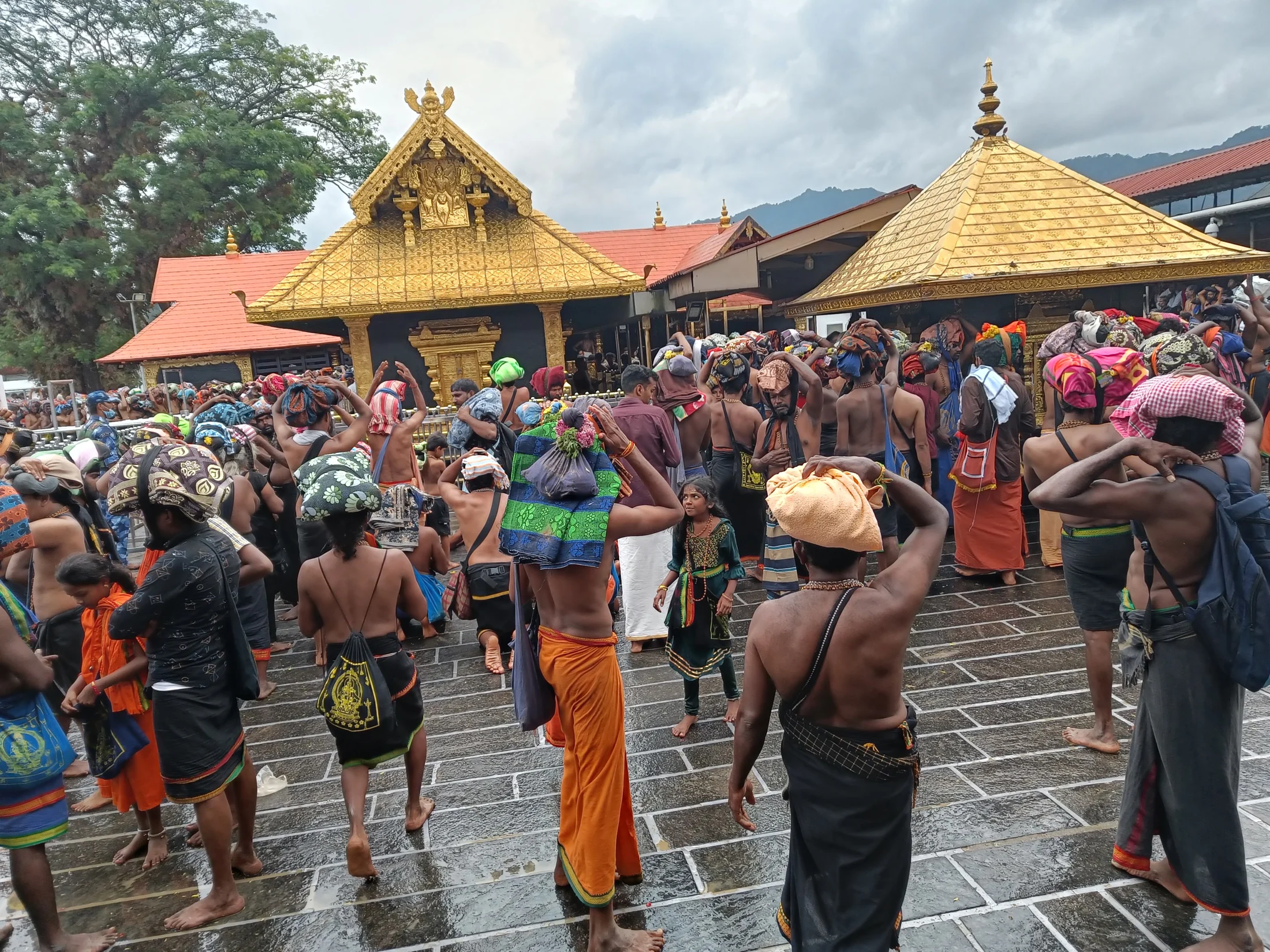
Sabarimala Sree Dharma Sastha Temple is the Ayyappa hill shrine in Pathanamthitta district, reached on foot from the Pamba pilgrimage base under the season’s access arrangements. Sannidhanam is the temple precinct on the hill; Pamba is the road-to-foot transfer area; Nilackal is the principal vehicle holding and bus-transfer base. The temple opens for specified periods, including the Mandala–Makaravilakku season and monthly poojas. Plan from the official opening calendar and Virtual Q instructions before arranging transport, accommodation or the ascent.

heritageMaramon Convention

The site of Asia’s largest Christian convention, held for about eight days each February on the vast Pamba river sand-bed beside the Kozhencherry bridge; organised by the Mar Thoma church since 1895, the tent seats well over a hundred thousand.

churchManjinikkara Church

A hilltop Jacobite Syrian pilgrim centre (dayara) near Pathanamthitta, the resting place of Patriarch Ignatius Elias III; its annual perunnal draws large crowds.

heritageAranmula

Temple town on the Pamba, known for the Parthasarathy Temple, the Uthrattathi snake-boat race and the famous Aranmula Kannadi metal mirror.

damMoozhiyar Dam

A gravity dam at Seethathodu near the Kakki reservoir that stores the tail water of the Sabarigiri hydro-electric project and diverts it to the Kakkad power station — a scenic reservoir stop on the forest road toward Gavi.

All 6 places to visit in Pathanamthitta town →

On the map

Where Perunthenaruvi Waterfalls is

Good to know

Perunthenaruvi Waterfalls — frequently asked

Is Perunthenaruvi Waterfalls the same as the dam?

No. The waterfall is the natural rocky cascade. KSEB’s nearby diversion weir, power channel and powerhouse are separate infrastructure sharing the locality name.

Which road route does DTPC recommend?

DTPC identifies Ranni–Athikkayam–Kudamurutty–Perunthenaruvi as the main route. Follow the current local signs to the visitor entrance rather than a weir or river-centre pin.

What are the published visitor hours?

DTPC lists 09:30–17:00, with Tuesday as the weekly holiday. Weather or river conditions can still affect admission.

What is the published entry fee?

DTPC lists ₹30 for adults and ₹15 for children, with offline booking. The listing does not specify the child age band.

Can visitors swim or walk across the rocks?

This guide does not establish swimming or river-crossing access. Use the admitted viewing route and keep away from the current and exposed river-bed shortcuts.

What does Perunthenaruvi mean?

Kerala Tourism connects the name with a honey stream and beehives in the surrounding woods.

Which railway station should I use?

DTPC lists Chengannur about 47 km away; the district administration also lists Thiruvalla about 44 km away. Choose the train and onward road connection that reaches the agreed visitor approach.

Is the waterfall wheelchair accessible?

A continuous step-free viewing route and accessible facilities have not been verified. Establish the exact entrance, surface and assistance with the operator before arranging a visit that depends on them.

Read before you go

Perunthenaruvi Waterfalls guides, stories & itineraries

Stories & history of Perunthenaruvi Waterfalls

Written about Perunthenaruvi Waterfalls itself — its history, its legends and the arguments about them.

Around Pathanamthitta town

These reads cover nearby destinations, each with its own arrival point and visit arrangements.

Kerala-wide guides & itineraries

Route-level itineraries and practical guides for the rest of Kerala.

See all 33 Pathanamthitta guides & stories →