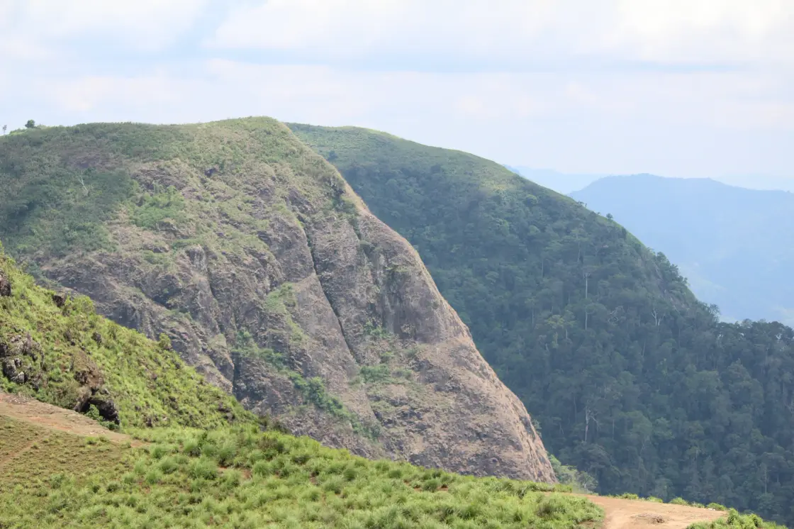
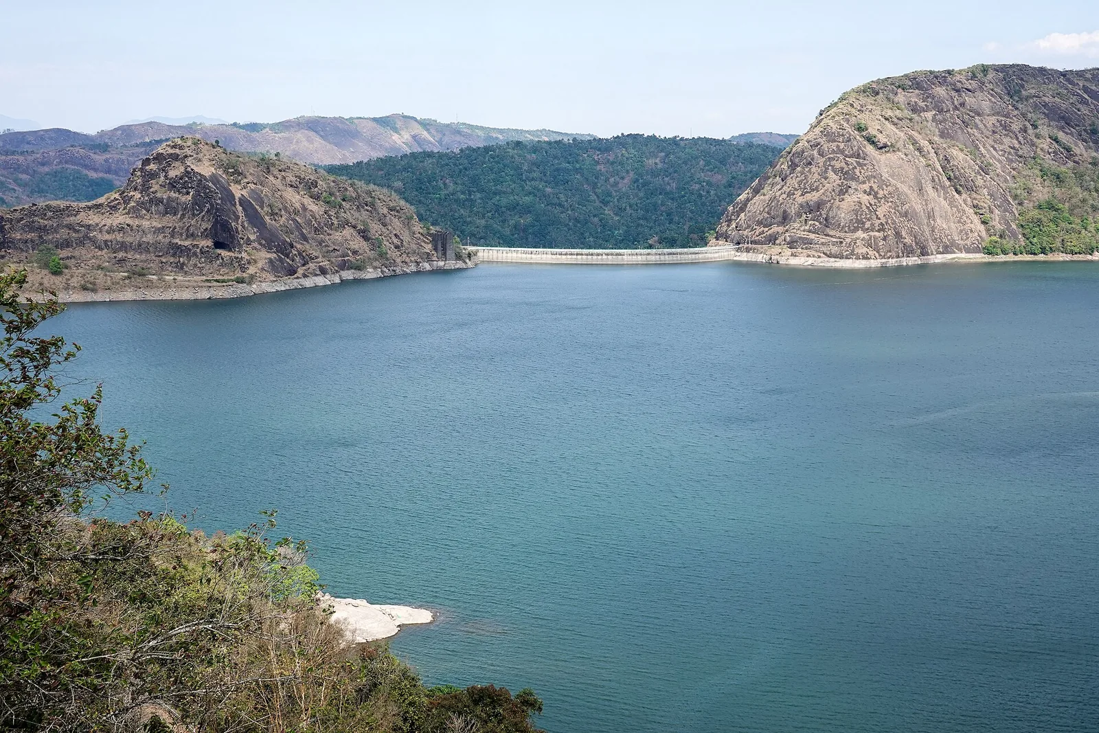
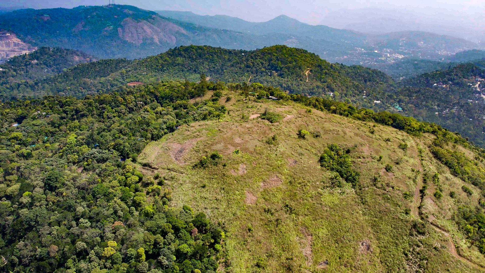
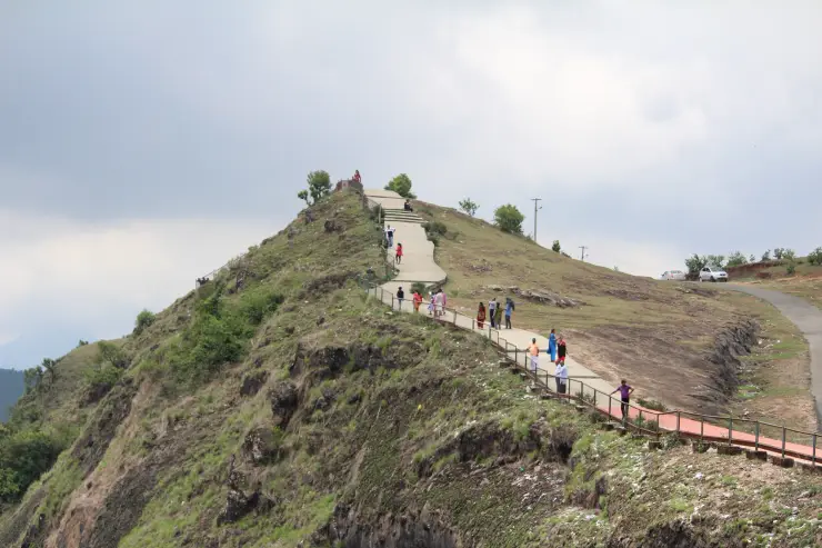
At Parunthumpara, the upper ground can look deceptively gentle: rounded grass slopes, a road bend and a short line of railing. Beyond it, the land falls away into a much steeper world of rock faces, wooded folds and narrow valleys.
The story of Parunthumpara
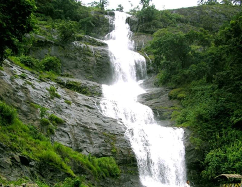
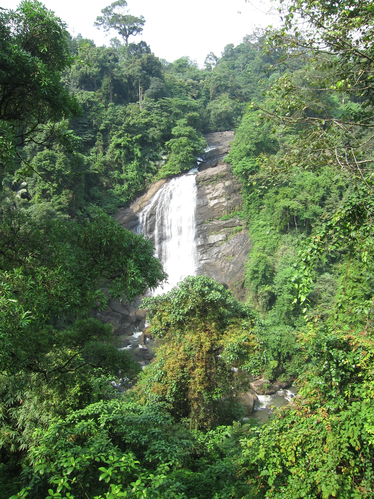
The change of scale is the first thing to notice. Near the road, people and vehicles give the open hilltop a familiar size. Across the edge, trees become a texture on distant slopes and a narrow waterfall can appear as a pale thread. The same view contains the ordinary scale of a roadside stop and the much larger depth of the ravine.
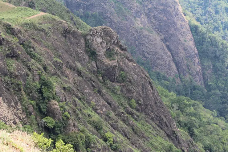
Rock gives that depth a clear structure. Some faces are broad and comparatively bare, with vertical divisions visible through patches of grass. Others carry shrubs and trees in the folds. The exposed surface is not a single climbing wall or a continuous walking slope; its steepness becomes clearer when seen across the valley rather than from above.
The local name is usually translated as Eagle Rock. Kerala Tourism describes a projecting rock form compared to an eagle’s head. The comparison is a way of recognising the landscape, rather than an official boundary around one small stone. Looking for the outline can be part of the visit without trying to reach the most exposed position.
Tagore Rock introduces another likeness. From a suitable angle, the projecting outline resembles a human profile, which tourism accounts associate with Rabindranath Tagore. The name records a visual comparison. It is not a carved portrait, a memorial built for the poet or evidence that he visited Parunthumpara.
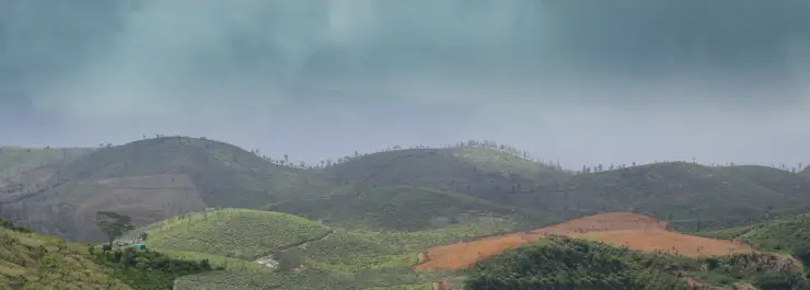
The road side of the panorama shows a cultivated landscape. Tea rows follow neighbouring hills, with tracks dividing sections and scattered buildings among them. Those patterned slopes differ from the more irregular tree cover in the ravines. A wide view that includes both gives a more accurate account of this Peermade setting than calling every green surface untouched forest.
The approach also explains why the viewpoint fits a plantation-town itinerary. Kerala Tourism describes it in relation to Peermade and the journey towards Thekkady. It is a turn away from the through-road, with its own final climb and return, rather than a viewpoint directly on the main highway. The road journey is part of the visit, especially when visibility changes.
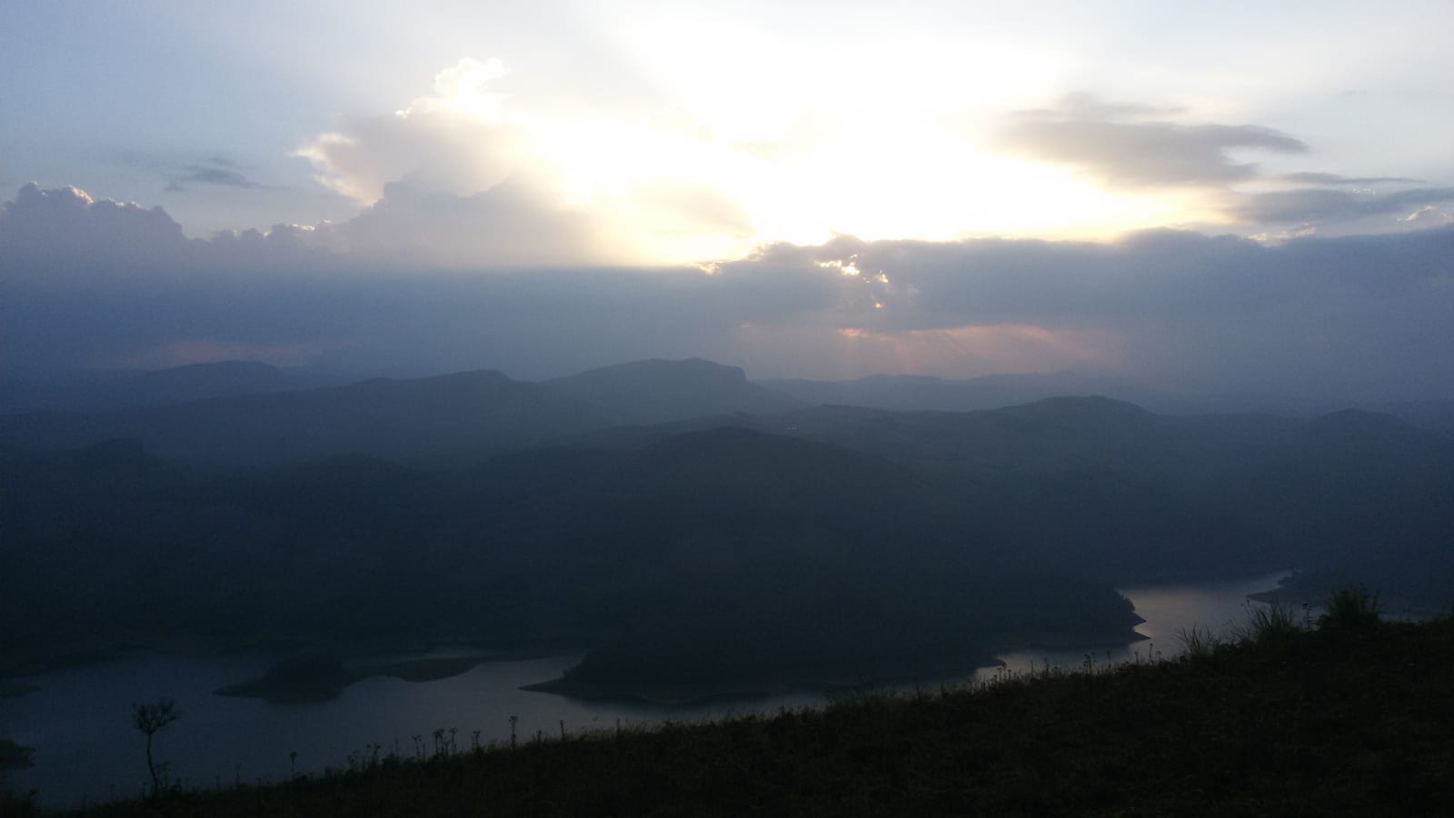
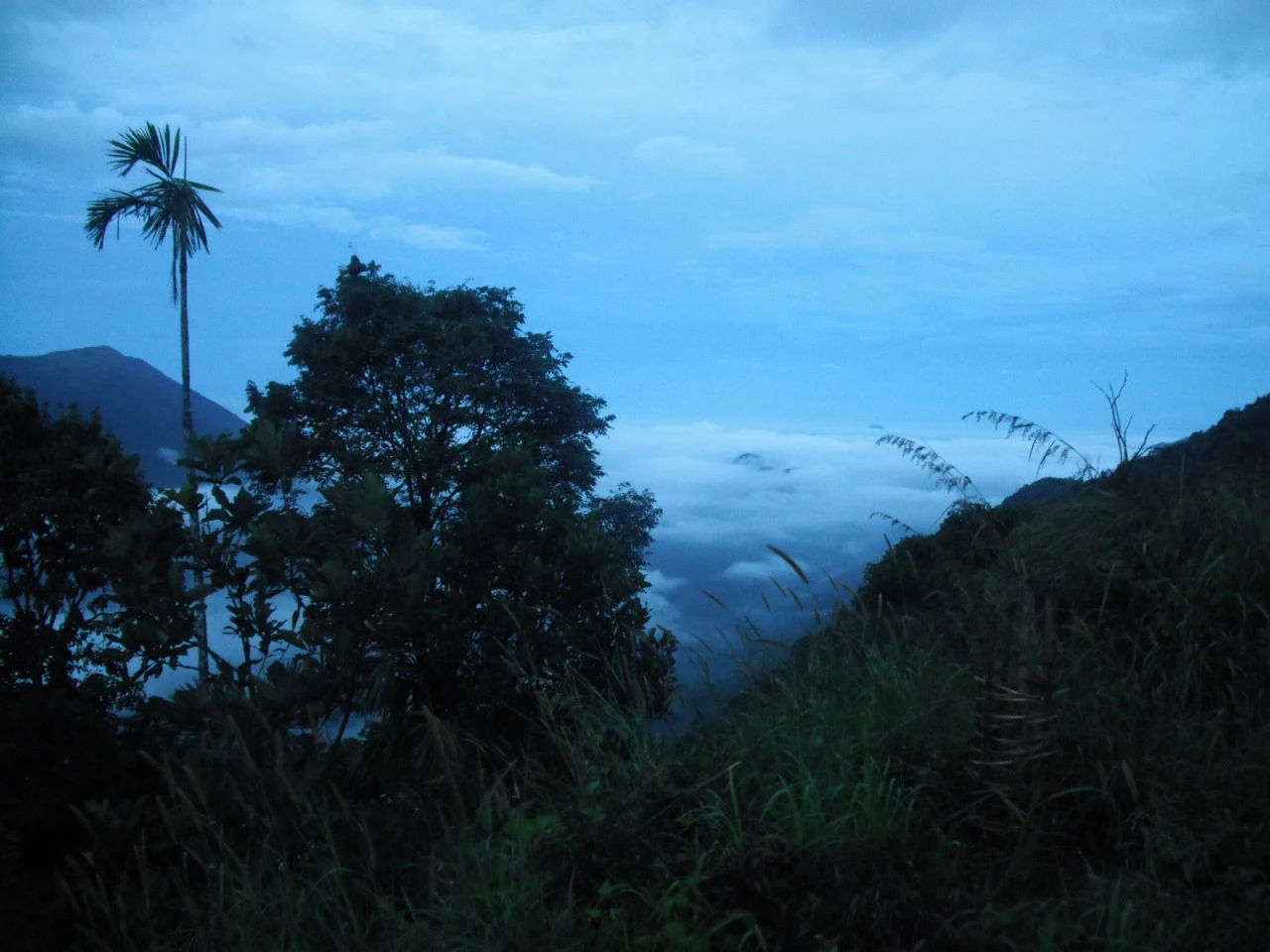
Fog can remove the distant scale almost completely. In one kind of view, the far ridge remains a clear line; in another, even the next slope becomes faint and the railing is the strongest point of orientation. Mist is therefore both an atmospheric feature and a practical limit. The closer hilltop details may remain visible when the valley does not.
The permitted path offers a way to experience the ridge without making every step a search for an edge. Archival photographs show a railed walkway and sections of steps rising across a small knoll. The path, its condition and any present barriers should determine how far to go. A photograph of people on an unprotected projection is not a route recommendation.
Parunthumpara also has a seasonal connection with Sabarimala pilgrimage. Kerala Tourism records people gathering here during Makaravilakku to look towards the distant sacred landscape. That is a particular annual occasion, with crowd and traffic implications. It does not turn the viewpoint into an alternative road entrance to Sabarimala or guarantee visibility of a distant event.
The most useful nearby context remains Peermade and Pambanar: a place to begin the local approach, arrange the return and connect the hilltop with the surrounding plantation country. Parunthumpara itself is best understood through the contrast it offers in a compact visit—cultivated uplands behind, steep ravines ahead, and a weather-dependent view between them.