What to expect
Highlights
- Wildlife or forest landscape around Meesapulimala trek through Rhodo Valley
- Official eco-tourism activities where available
- Nature guides, birding and forest-edge stays
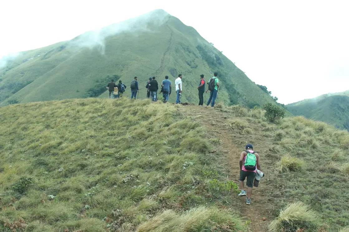
Hard high-altitude trek from the Munnar side via Rhodo Valley, run through KFDC eco-tourism with guide, food and stay options.
Road km to Idukki; ghat roads and traffic vary — allow extra.
Dryer months are easier for wildlife access; monsoon access depends on local rules.
These are official or public-sector eco offerings that match this place, town or forest destination. Confirm availability, permits, tariffs and reporting times with the official operator before travel.

Hard high-altitude trek from the Munnar side via Rhodo Valley, run through KFDC eco-tourism with guide, food and stay options.
Official source →
KFDC tent stay near Meesapulimala base camp, with campfire, food and optional trek towards Meesapulimala or Rhodo Valley.
Official source →
Lonely cliff-side KFDC cottage facing a waterfall and Anamudi views, paired with Meesapulimala trekking.
Official source →
KFDC Rhodo Valley night stay with elephant-trench protection, campfire, food and next-day Meesapulimala climb.
Official source →
High-altitude grassland national park and Nilgiri tahr habitat near Munnar.
Official source →
Dry-forest wildlife sanctuary east of Munnar, listed in Kerala Tourism’s ecotourism inventory.
Official source →
Shola forest national park near the Munnar/Vattavada side, listed as an ecotourism destination and programme.
Official source →
Shola-grassland forest landscape in Idukki, included in Kerala Tourism’s official ecotourism destination list.
Official source →
Sandalwood and dry-forest landscape on the Munnar-Chinnar side, listed by Kerala Tourism as an ecotourism destination.
Official source →Verified hotels, homestays, restaurants, experiences, sights, shops and rentals around Meesapulimala trek through Rhodo Valley — commission-free, with direct contact. Filter by what you need.
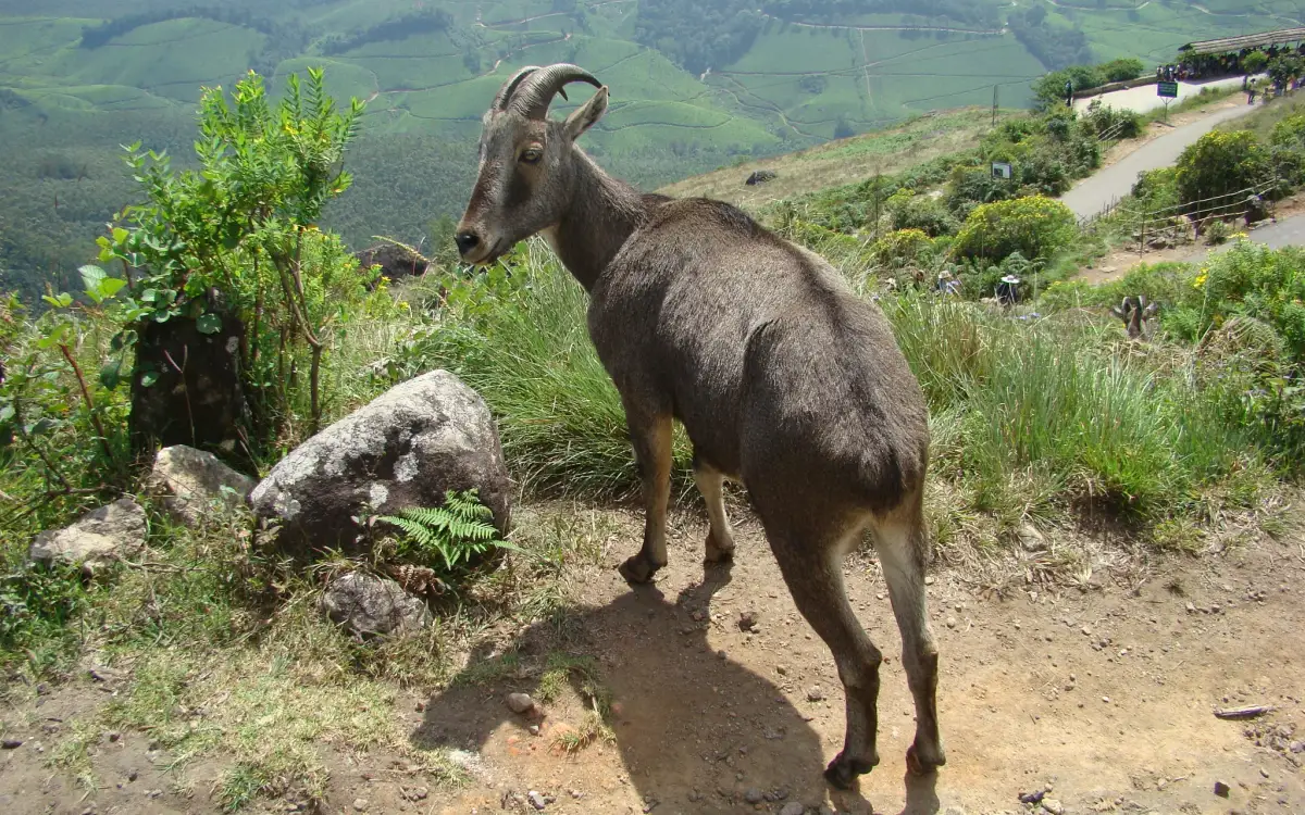
Official park ticket booking in Munnar. Eravikulam National Park, Munnar, Kerala 685612 · official booking, national park, Rajamala.
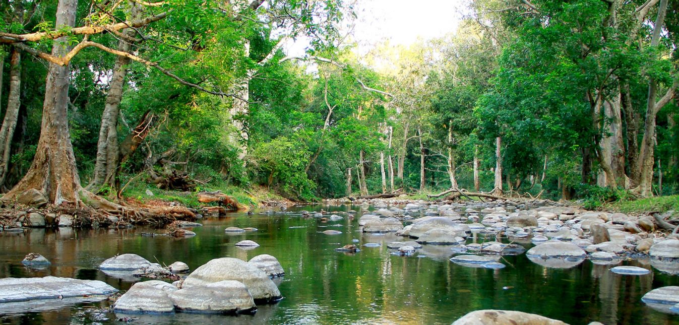
Official Munnar Wildlife Division booking portal for forest stays, trekking and protected-area visitor services.
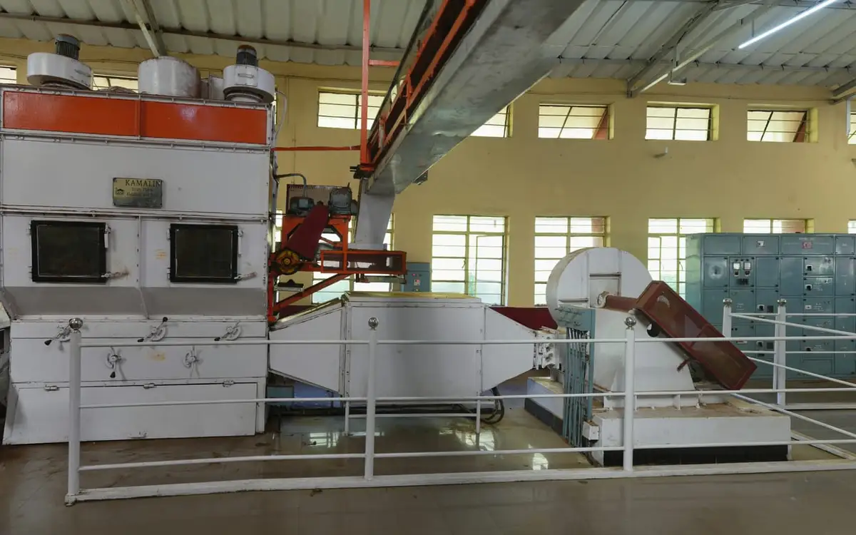
Official Kanan Devan Hills Plantations tea museum at Nullatanni Estate, a short drive from Munnar town.
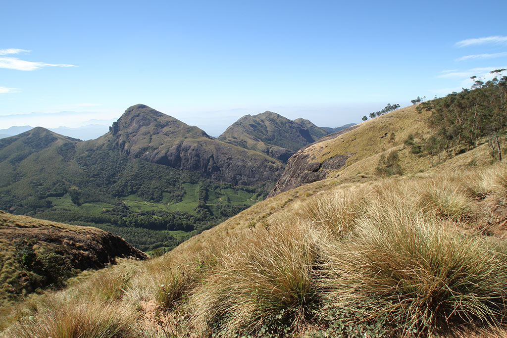
Official Munnar Wildlife Division trekking information and booking contact. Forest Information Centre, Wildlife Warden's Office, Munnar PO, Idukki District, Kerala 685612 · trekking, official booking, forest.

Adventure operator with Munnar trekking itineraries, cycling and walking holidays in Kerala. Trekking, adventure operator, Munnar trekking.

In-house Ayurveda and wellness center at Blanket Hotel & Spa near Attukad Waterfalls. Ayurveda, spa, wellness.
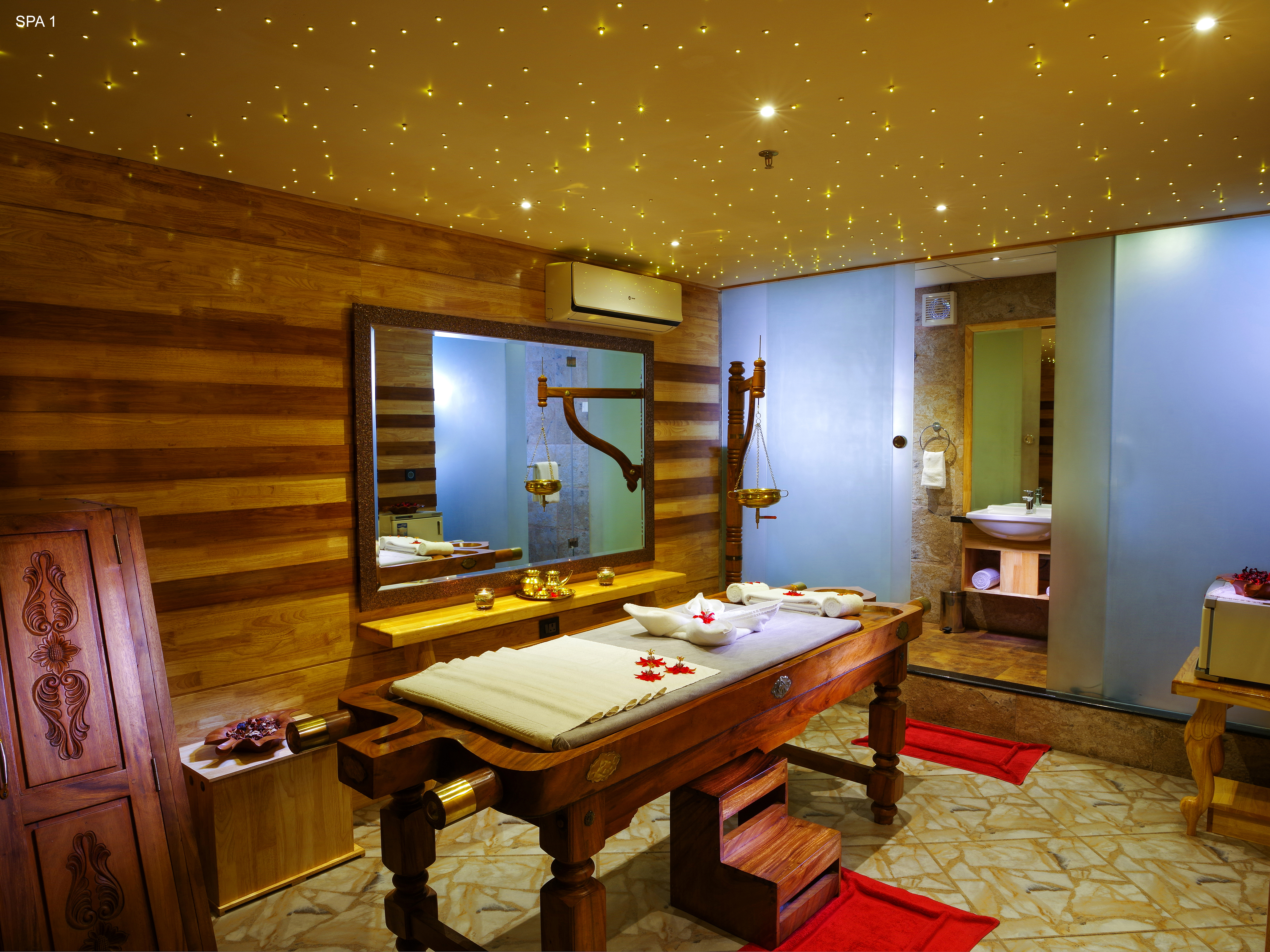
Ayurvedic spa in Munnar. The Panoramic Getaway, Chithirapuram, Munnar, Kerala 685565 · Short therapies from Rs. 1199; Ayurveda packages from Rs. 4750; taxes extra · spa, ayurveda, wellness.

Munnar taxi, airport transfer, local sightseeing, Kolukkumalai jeep safari and trekking transport operator.
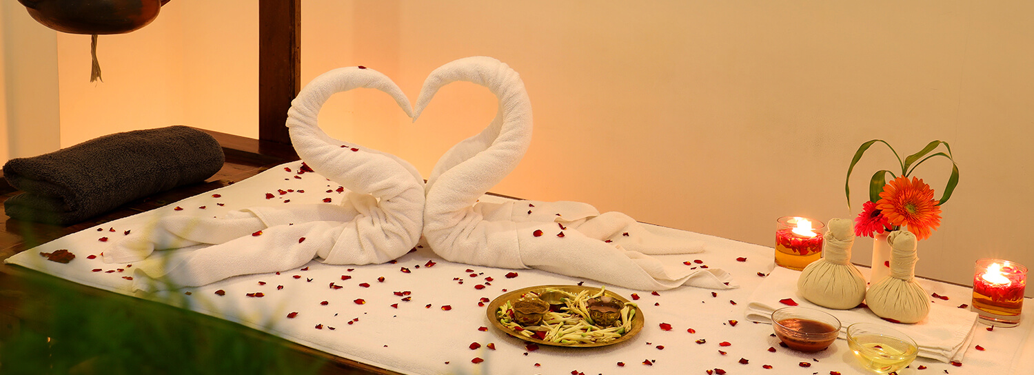
Ayurveda and spa facility at Amber Dale Luxury Hotel & Spa in Pallivasal. Ayurveda, spa, wellness.

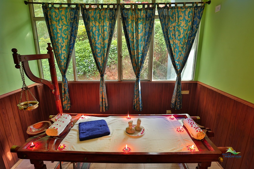
Ayurvedic spa facility at Misty Mountain Resort in Pallivasal. Ayurveda, spa, wellness.

A Moolakadai, Munnar based taxi operator covering airport transfers, local sightseeing, jeep safari, tent camping and tour packages.

A Chinnakanal-Suryanelli based Munnar taxi operator offering cabs, jeep safaris, airport transfers and customised sightseeing packages.
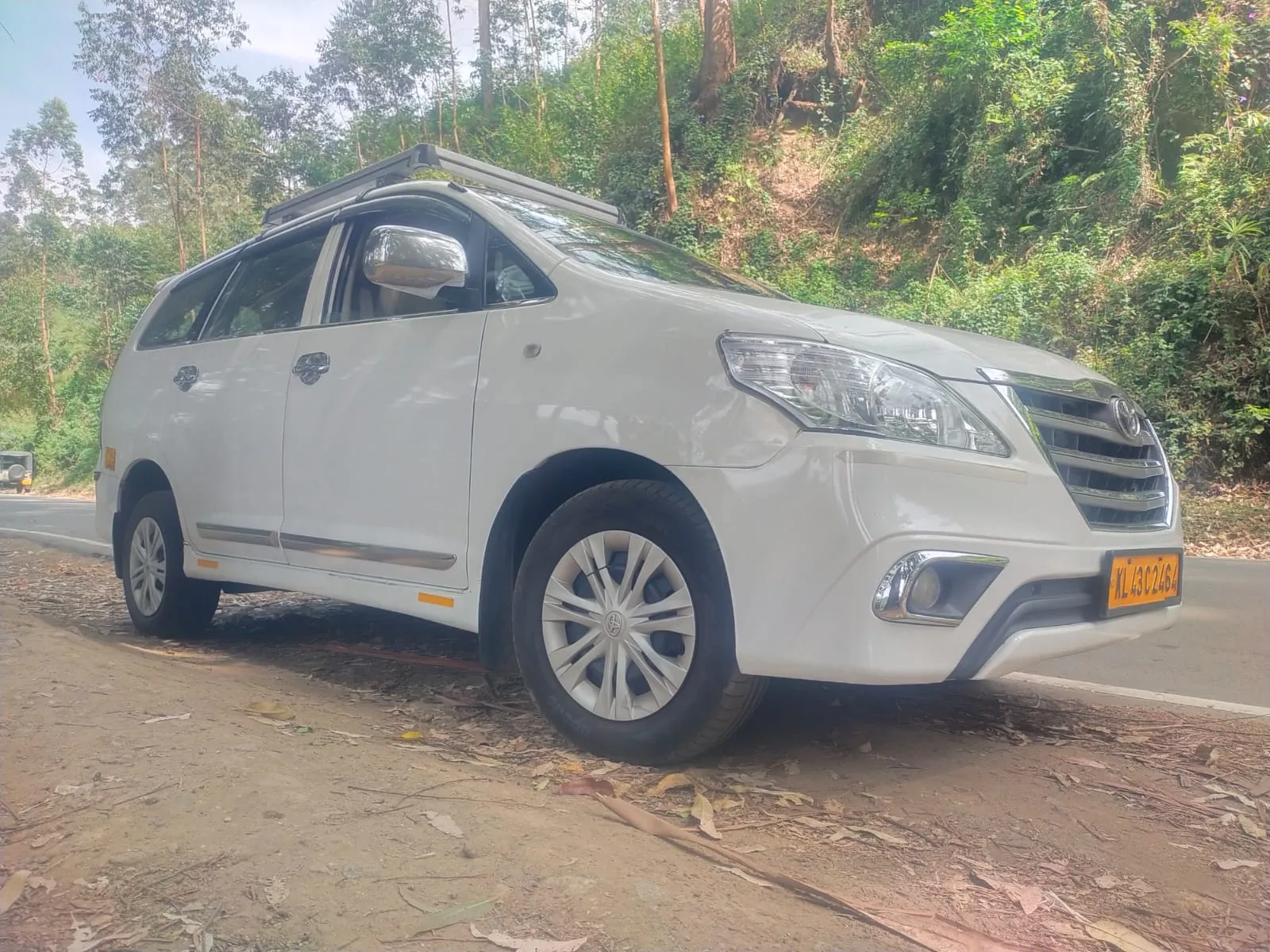
Taxi and airport-transfer provider in Munnar. Munnar bypass, Munnar, Idukki, Kerala · Taxi, Cab service, Airport transfer.
Book with the place itself. India’s cyber-crime coordination centre warned in April 2025 that convincing copies of hotel and pilgrimage booking sites are being pushed through sponsored search and social ads, taking payment for rooms the property never hears about. Every listing here links to the business’s own contact details and its own Google or Bing profile — we take no commission and sit in nobody’s payment path. If a booking page reached you through an ad, check the address bar against the property’s own site before you pay. Fraud can be reported on cybercrime.gov.in or on 1930.
Find food, accommodation and activities across Munnar. Browse the guides for places to eat, stay and explore along your route.
33 more places around Munnar. Open a guide to plan the visit and onward journey.

Kerala’s most famous hill station, known for tea estates, viewpoints and cool weather.

High-altitude grassland park, Nilgiri tahr habitat and access point for Anamudi views.

The highest peak in South India, viewed through Eravikulam/Rajamala access contexts near Munnar.
Rajamala is the designated tourism and awareness zone of Eravikulam National Park near Munnar. It is not a separate unrestricted summit trek or the whole national park.


Reservoir, boating and lake-view stop on the Munnar-Mattupetty sightseeing circuit, usually paired with Echo Point and Kundala.
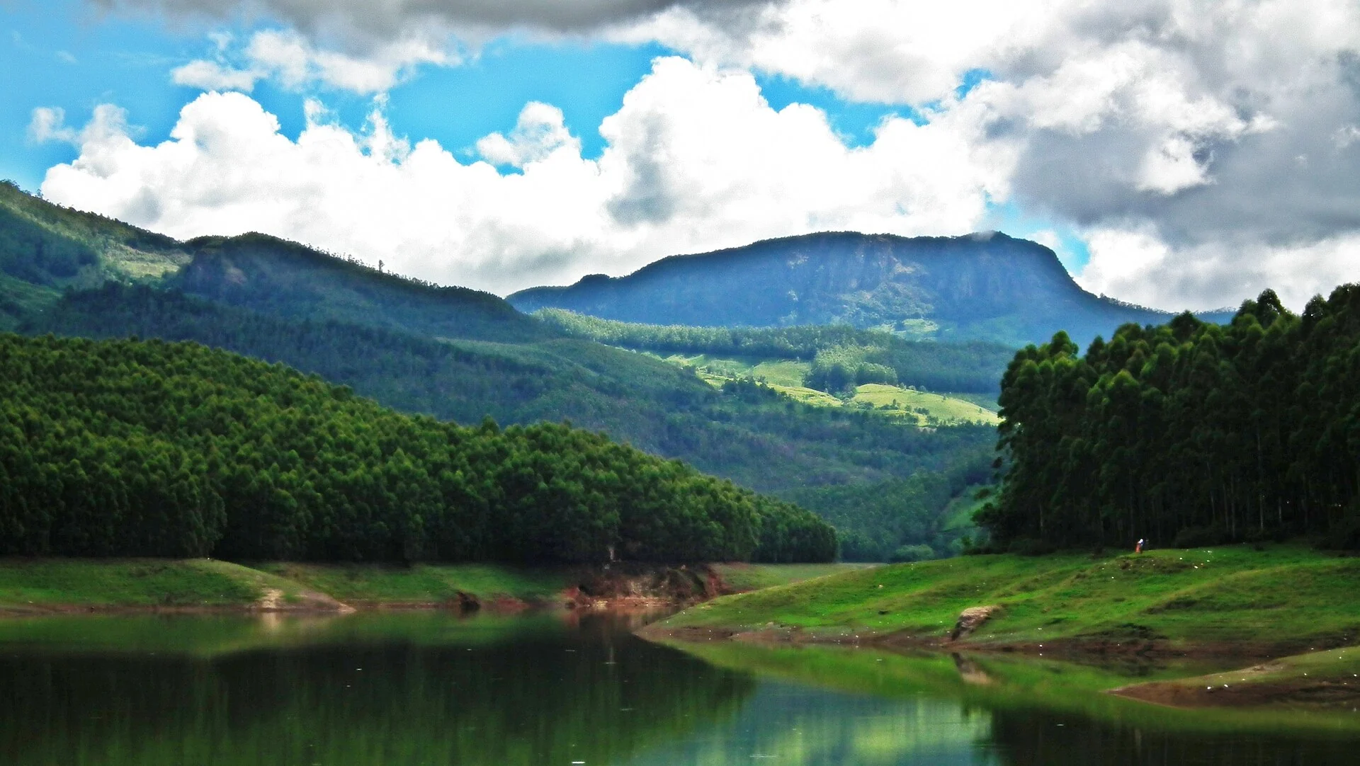
Popular Munnar lakeside viewpoint on the Mattupetty-Kundala route, useful for short stops, photos and family sightseeing.
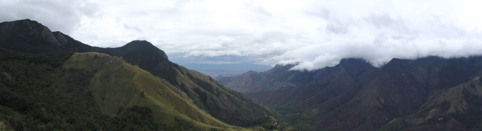
A border-highland viewpoint in Theni, Tamil Nadu, normally approached through Munnar, Mattupetty and Kundala; named for the former tea-transport terminus, with a separate stepped viewpoint walk.
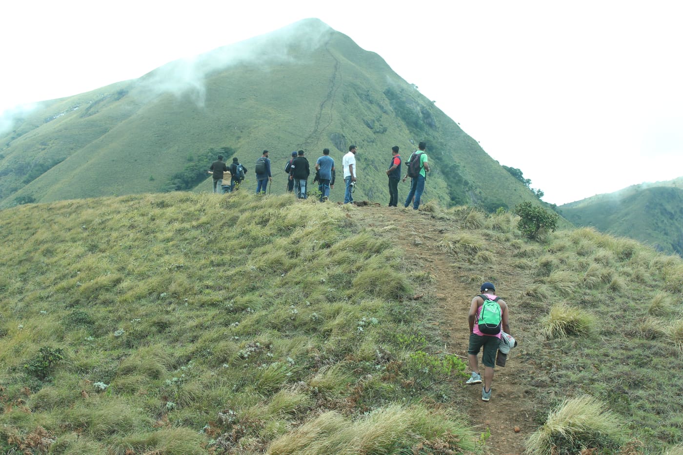
Popular high-altitude Western Ghats trek, usually booked through official eco-tourism channels.
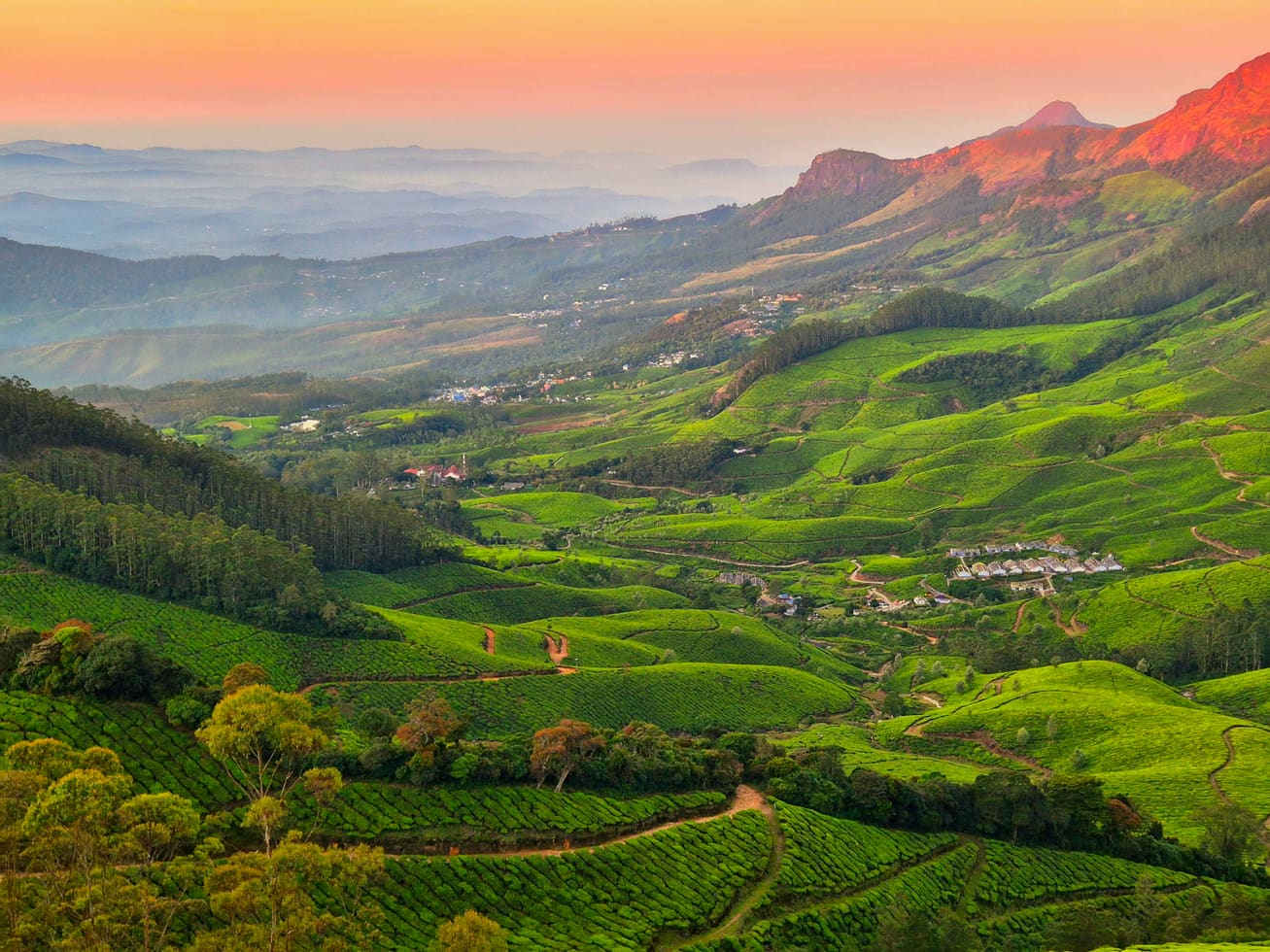
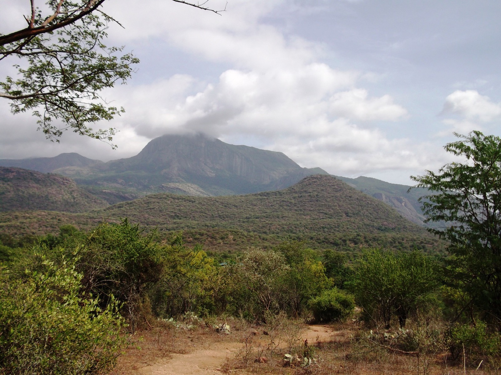
Dry-forest wildlife sanctuary on the Marayoor-Udumalpet side of Idukki.
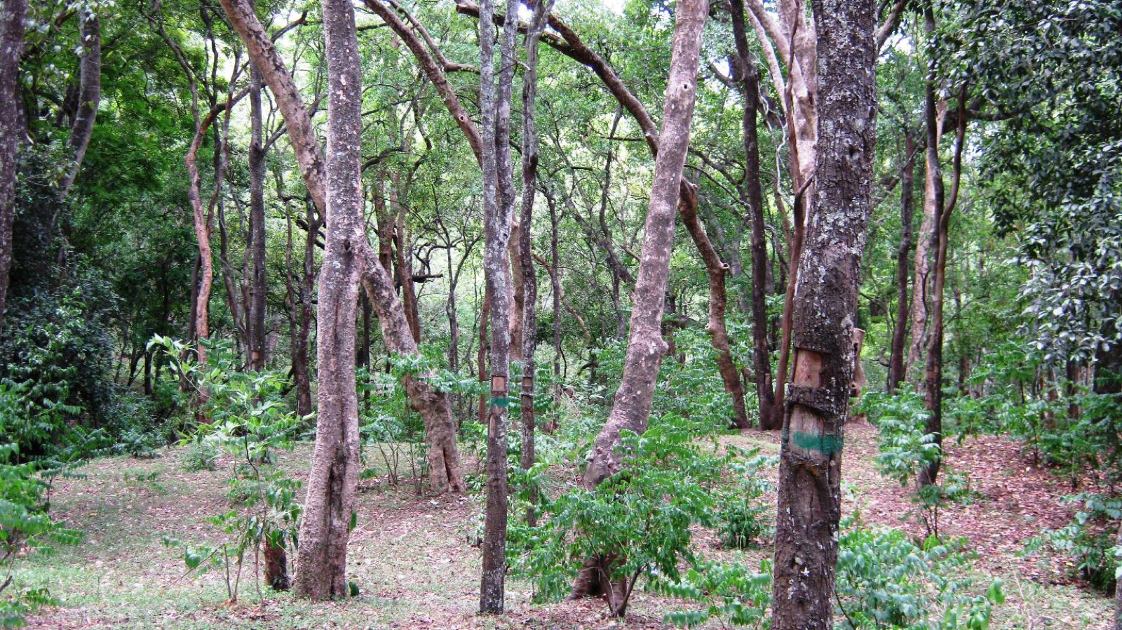
High-range village known for natural sandalwood forests, dolmens and sugarcane jaggery.
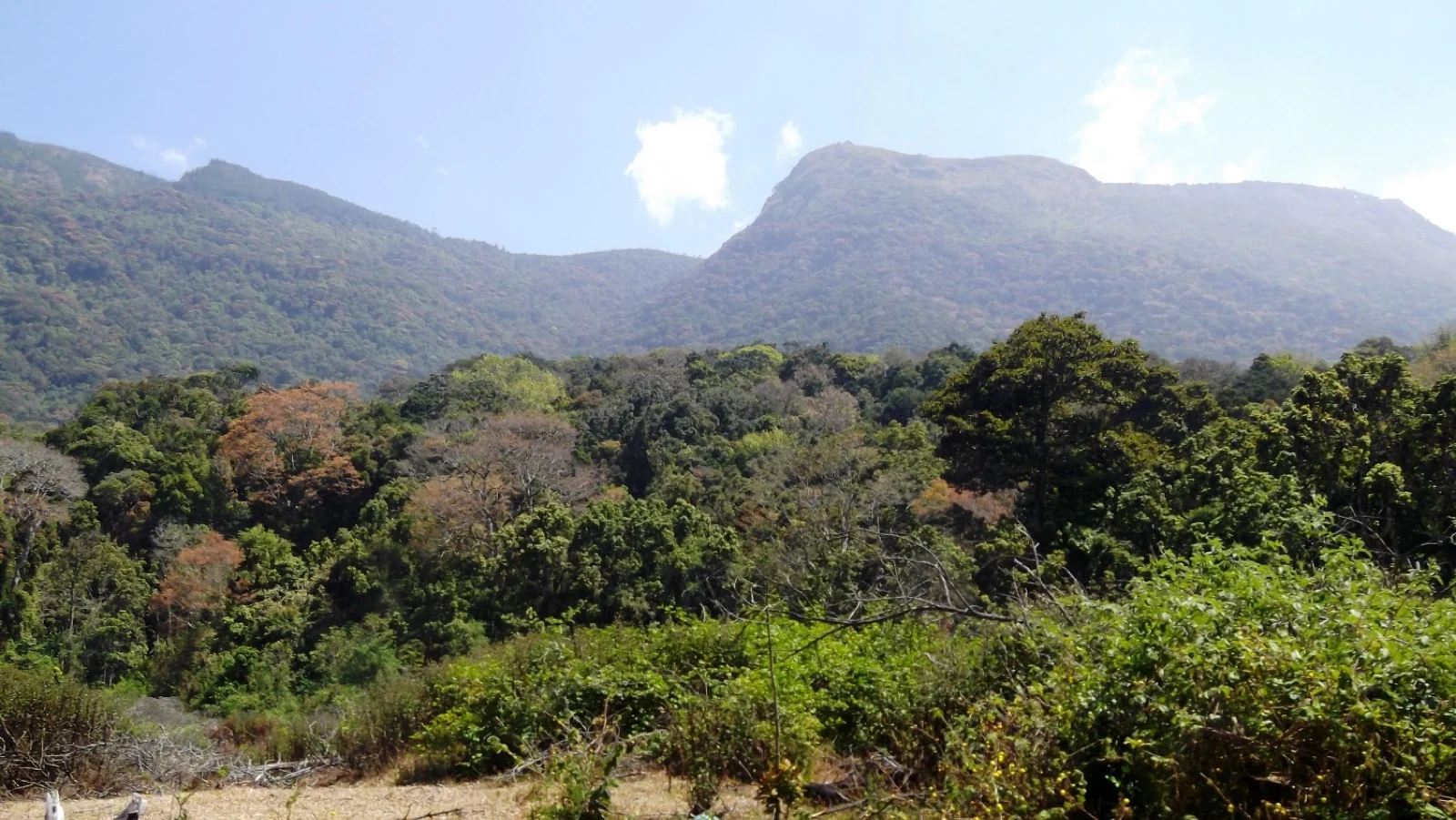
Pampadum Shola National Park protects high-elevation forest beside the Top Station–Vattavada road. The Top Station forest check post is the reporting anchor here; forest stays and guided walks require their own confirmed arrangements.
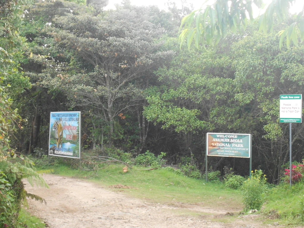
Anamudi Shola National Park protects Mannavan, Pullaradi and Idivara shola forests in the Kanthalloor–Vattavada high ranges. Methappu is the visitor anchor on this page; this is not Anamudi Peak or the Rajamala visitor area.

Waterfall stop on the Munnar-Marayoor route, usually paired with Eravikulam and Marayoor days.

Waterfall area near Munnar commonly used for short scenic drives and monsoon views.
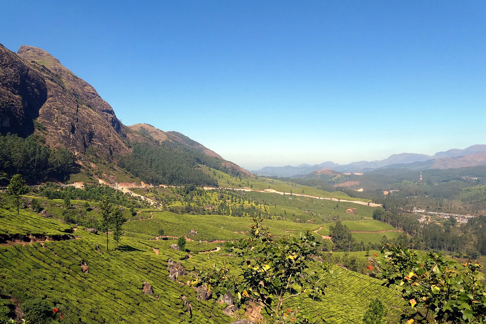
The pass itself on the Munnar–Bodimettu highway, where the ridge drops away east — and the lay-by the Chokramudi Peak trek reports from, 51 m from the forest counter. A second, busier viewpoint signed "Lockhart Gap Road View Point" sits 1.7 km east.

Anayirankal is a KSEB earth-and-rockfill dam and reservoir in the Panniyar hydel system near Chinnakanal and Santhanpara. The map identifies the published hydel visitor-centre marker; boating is not currently assured.

The Muthirapuzha spread sideways over bare rock at 796 m, below the tailrace of Pallivasal — the first hydroelectric station Kerala built. Free, unmanaged and very quiet, down about a kilometre of steep narrow lane. ⚠ Not the Chinnakanal falls that Kerala Tourism describes under this name, 21 km east.

The Kerala State Electricity Board’s riverside flower park on the Munnar–Aluva road, 3.3 km below Munnar town and 1.2 km from the KSRTC stand at Old Munnar. It runs along the east bank of the Muthirapuzha immediately above the 1944 R. A. Headworks weir that feeds Pallivasal, Kerala’s first hydroelectric station — which is what the "hydel" in the name means. Open daily 09:15 to 20:15 with tickets sold online by Kerala Hydel Tourism Centre.

Hill-station and lake landscape near Munnar associated with Devikulam and Sita Devi, best planned as a quieter high-range side trip.

Nyayamakad, also called Nayamakad, is the waterfall and tea-estate landscape on the Munnar–Rajamala approach. The map uses the identifiable Nyamakad roadside stream-view base, not a waterfall lip, pool entrance or estate walking permit.
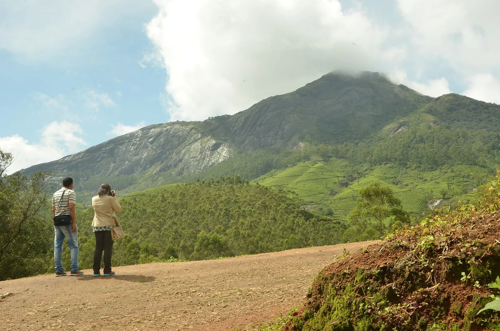
Forest Department peak trek from the counter at Gap Road, 13.2 km from Munnar: a mapped 2.09 km path climbing about 460 m of grassland and shola to a summit whose altitude four sources disagree about.
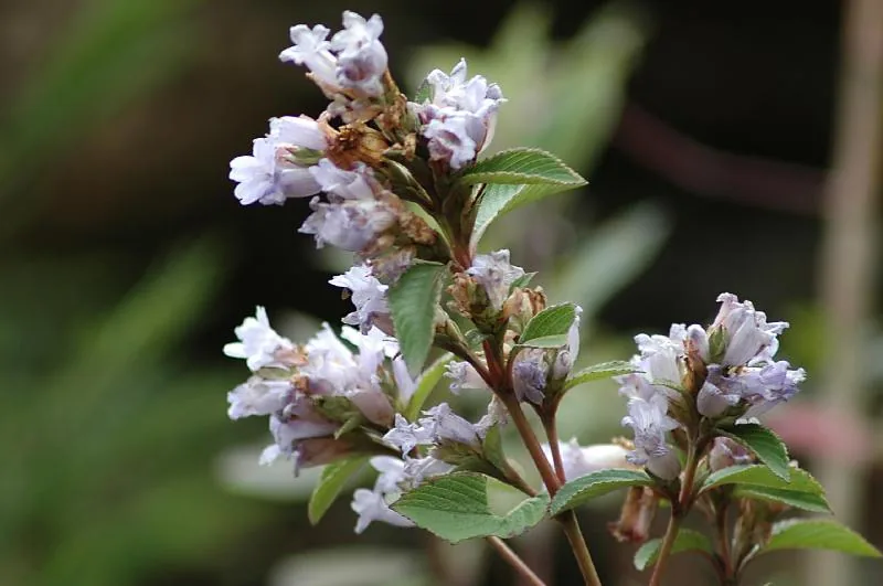
The 32 km² sanctuary above Kottakamboor and Vattavada, notified in 2006 for one plant — Strobilanthes kunthiana — with two walks and two stays in the Forest Department's own brochure and nothing bookable online.
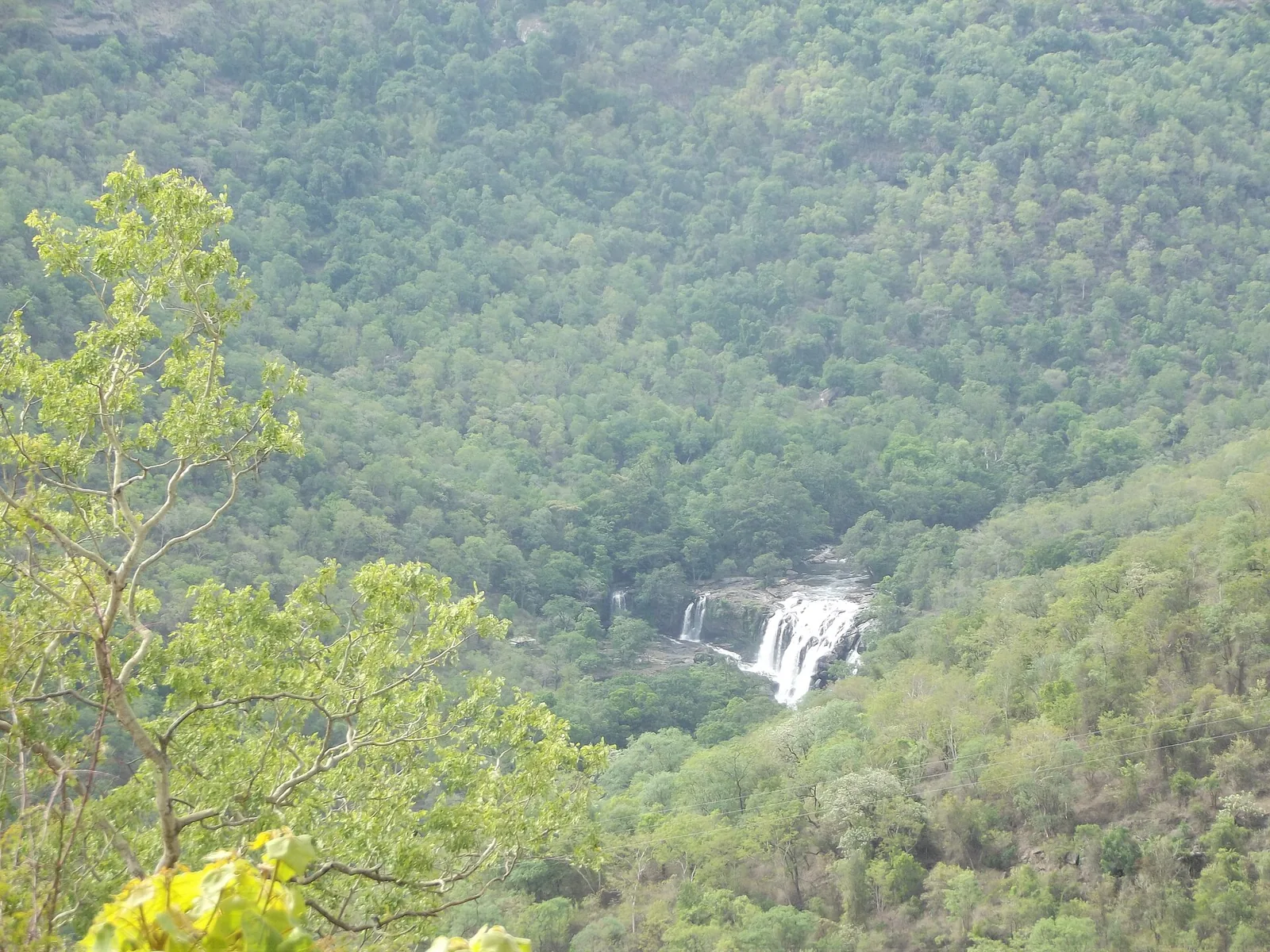
Forest Department guided walk in Chinnar Wildlife Sanctuary, from the Alampetty counter on SH17 down the river to the Thoovanam waterfall. Kerala Tourism contradicts itself on which river it follows: its own destination article says the Pambar, and the page selling this programme says the Chinnar.
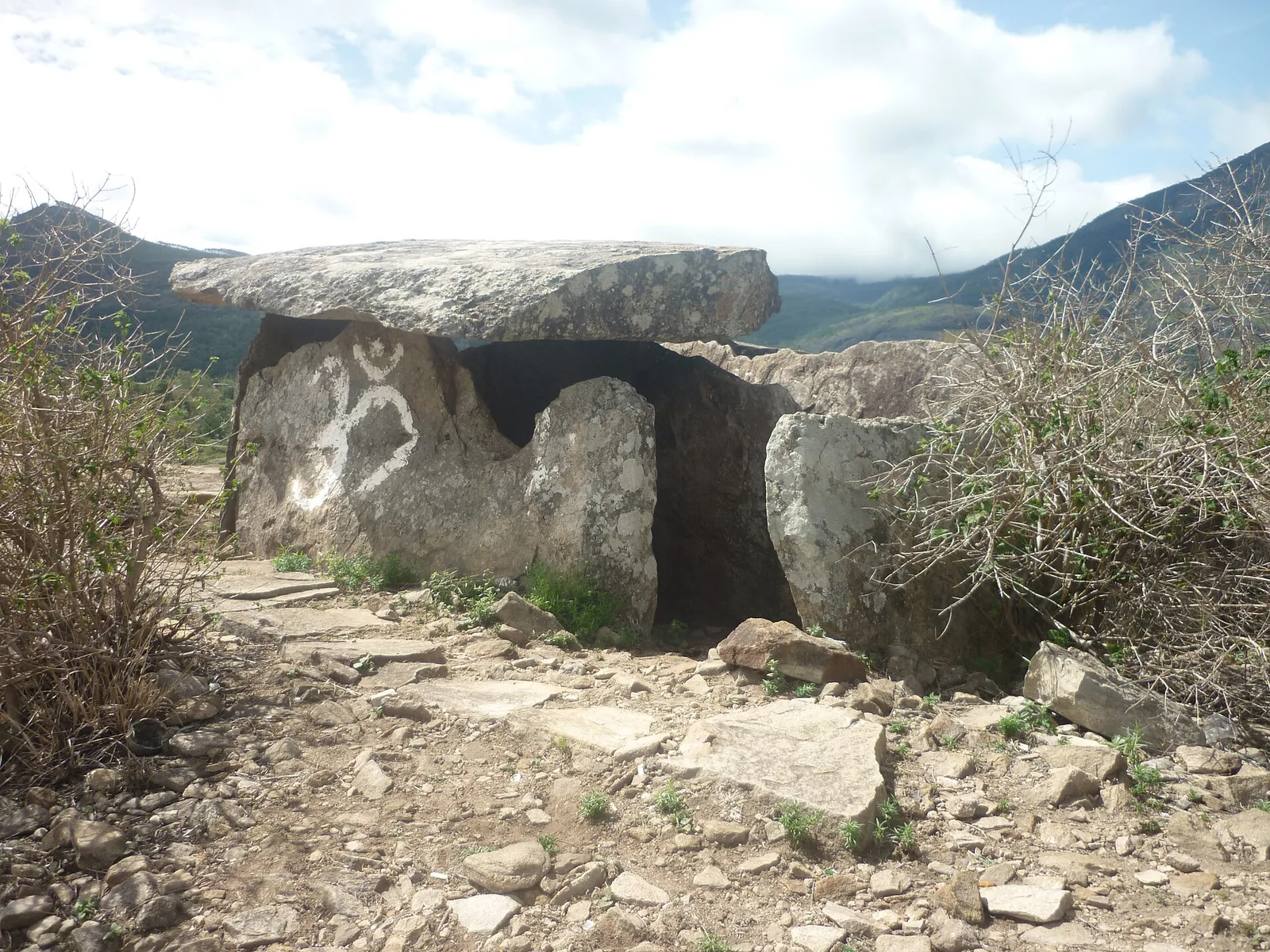
Forest Department culture trek in Chinnar Wildlife Sanctuary to prehistoric dolmen (muniyara) sites, run with local tribal Eco-Development Committees. Report at the Alampetty guide stand on the Marayoor–Udumalpet road (SH17), 6.4 km beyond Marayoor.
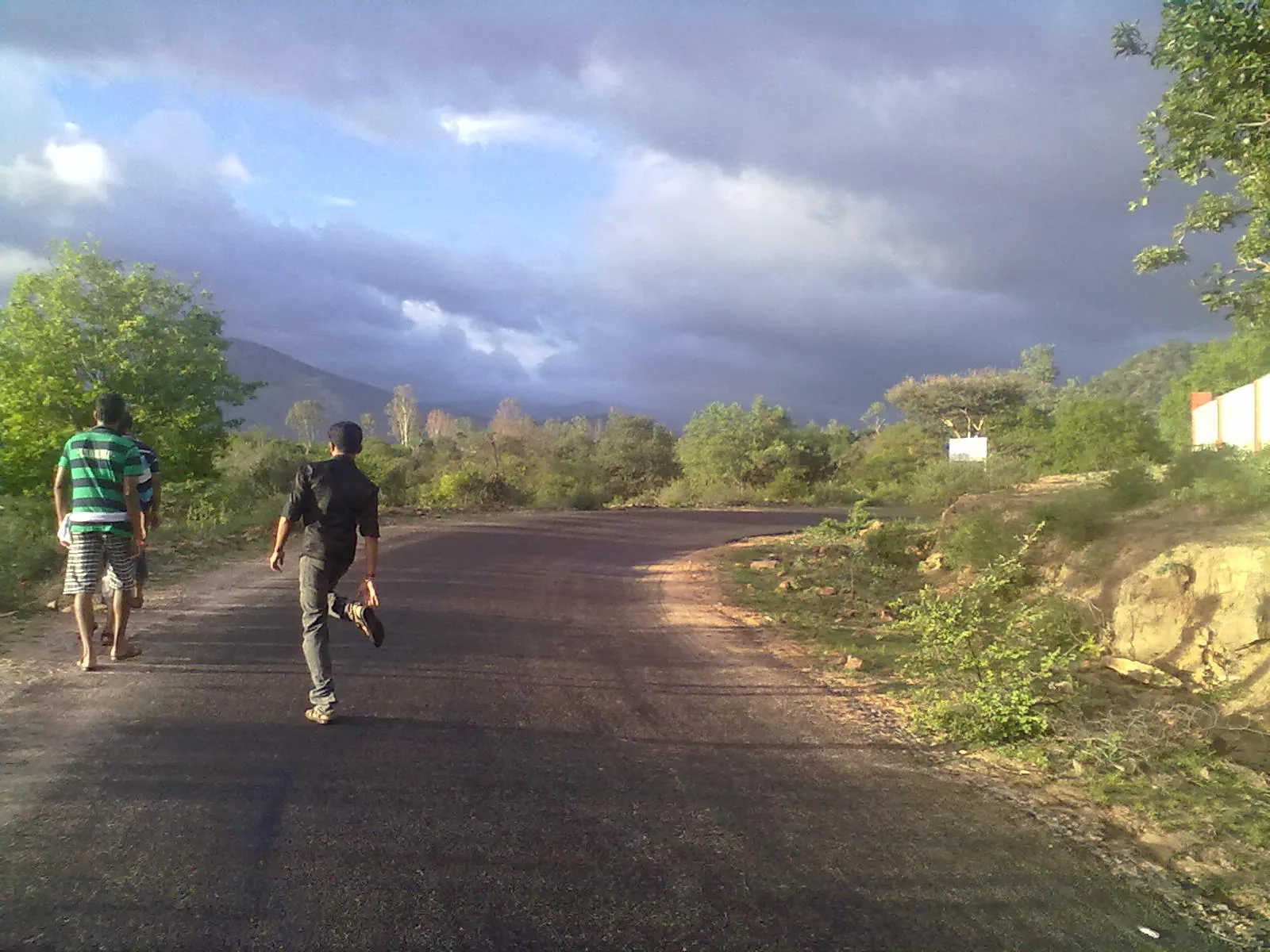
Forest Department trekking-and-camping programme at Vasyappara in Chinnar Wildlife Sanctuary — an overnight stay in a mud hut on a hill crest, published by the department as the Chinnar Valley Safari Trail. Report at 3 pm at the Chinnar check post on the Marayoor–Udumalpet road, not at the Alampetty counter 10.2 km back.
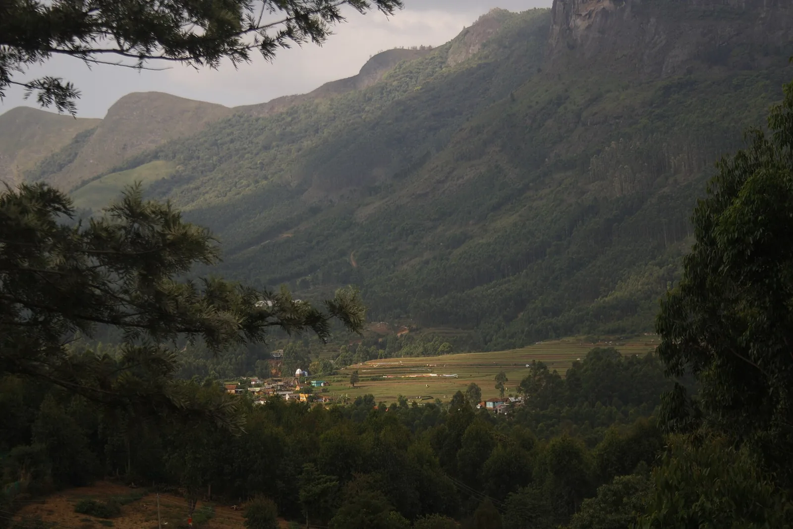
High-range village near Marayoor often called the “Kashmir of Kerala”, known for terraced farms of apples, oranges, strawberries and vegetables at around 1,800 m.
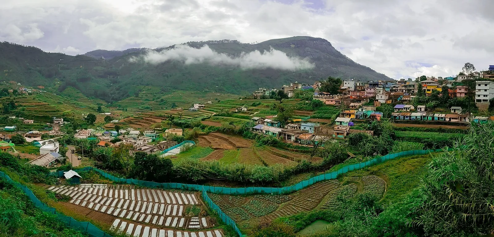
Cool high-altitude farming village beyond Munnar near the Tamil Nadu border, known for terraced vegetable and fruit cultivation, Kurinji slopes and quiet valley views.

A road-accessible viewpoint in Pothamedu south of Munnar, looking across planted hills and wooded valleys. The viewpoint marker is separate from the wider village and from private plantation walking routes.

Mathikettan Shola protects a remnant of native Cardamom Hills forest in Idukki. Visits are arranged through the Forest Department, with distinct Pethotty and Choondal approaches; a reservoir viewpoint is not a park-entry permit.

A wind-turbine ridge in Chathurangappara, Udumbanchola taluk, with views towards Theni’s cultivated plains; reached from the Munnar–Kumily road, with an exposed final hill approach.
Roampedia is commission-free — own or know a stay, eatery, guide or shop near Meesapulimala trek through Rhodo Valley? List it and it appears here once verified.
Add a nearby businessDryer months are easier for wildlife access; monsoon access depends on local rules.
Base yourself in Munnar or a nearby town in Idukki, then confirm the last-mile route locally before leaving. Book official entry, safari, boat or eco-tourism slots first, then plan transport and stay. If the visit depends on forest, temple, boat, ferry, weather or seasonal access, check the official/local rule on the day before travel.
Half day to full day.
Do not feed or approach wildlife. Use official routes and approved operators only.
We have not published a story about Meesapulimala trek through Rhodo Valley itself yet. These cover Munnar and the wider district, with separate journeys between stops.
These guides explore Munnar and the surrounding area. Choose a visit that fits your interests, allowing separately for travel between stops.






Written about Munnar as a whole rather than about Meesapulimala trek through Rhodo Valley — its history, its streets, and how to spend a day in it.




Route-level itineraries and practical guides for the rest of Kerala.



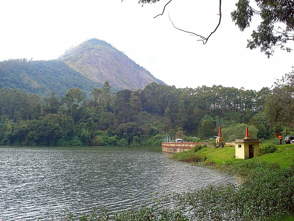
Photographs: Niyas8001 (CC BY-SA 4.0), Athulvis (CC BY-SA 4.0), Jan J George (CC BY-SA 4.0), Sarathgks92 (CC BY-SA 4.0), Jiths (CC BY 2.0), Jaseem Hamza (CC BY 3.0), Fotokannan (CC BY-SA 3.0). Wikimedia Commons.