India·Kerala·Idukki·Munnar·viewpoint

Kolukkumalai

Kolukkumalai is the high tea-estate sunrise route usually reached by jeep from the Munnar/Suryanelli side. Travellers come for the ridge views, estate roads and early-morning cloud drama rather than for a polished town-style attraction.

Kolukkumalai, Munnar
Know before you go. This is in the Munnar high range, where heavy south-west monsoon rain (roughly June–September) has caused deadly landslides — including the 2020 Pettimudi disaster near Rajamala — and can block or damage the ghat roads at short notice. Check current road, weather and access conditions with the district administration or Kerala State Disaster Management Authority before you travel, especially in the monsoon.
Practical guide

Plan Kolukkumalai

Who's going?Tailor Kolukkumalai to your trip
Typeviewpoint
AreaMunnar
DistrictIdukki
Best timePost-monsoon to winter gives the best…
Time needed4 to 6 hours from the Munnar side,…
Places to visit27Listed businesses72

The logistics are rough and worth facing before you book: starts are early, the road is bad, and weather can erase the view altogether. Ask an operator about the vehicle, whether they have permission for the route, where the pickup is, and what the timings really are.

The story

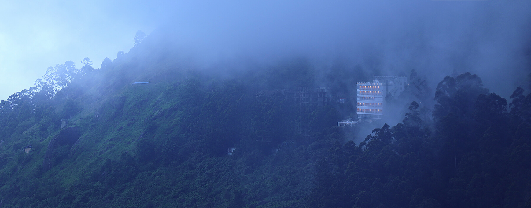
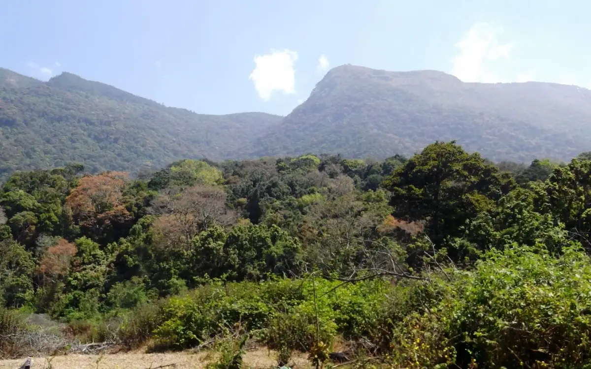
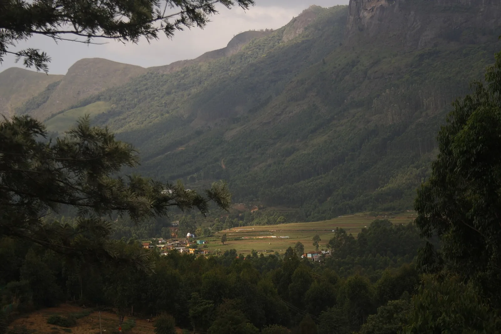
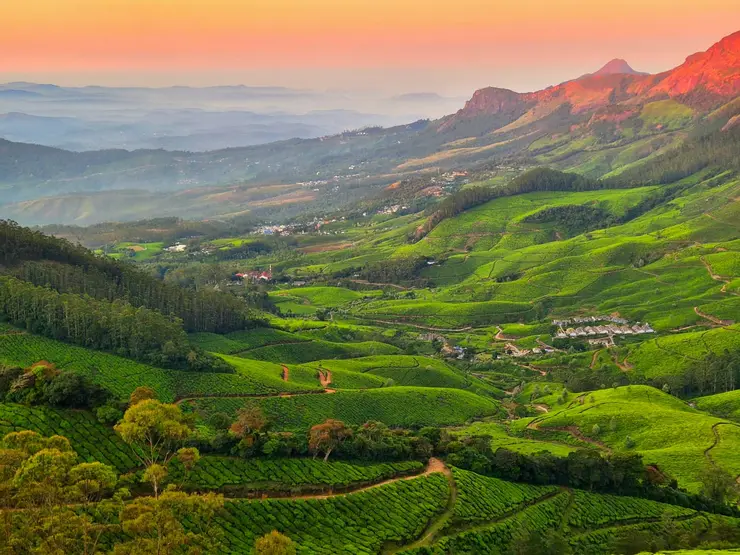
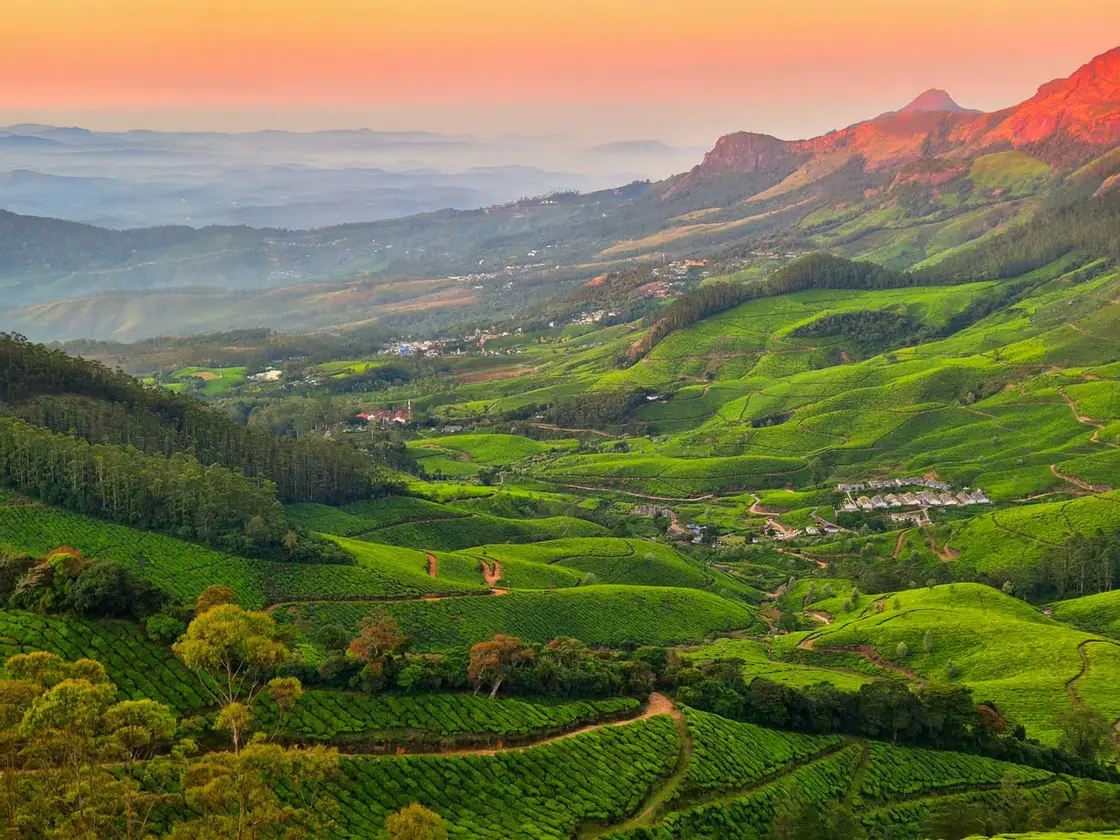
At roughly 7,900 feet — over 2,100 metres — Kolukkumalai is the highest tea estate in the world, and the price of admission is a bone-rattling pre-dawn jeep climb to a lonely ridge on the Kerala–Tamil Nadu edge. You stand shivering in the dark until the sun cracks the horizon and sets fire to a rolling ‘sea of clouds’ pooled in the valleys far below. Tea slopes tumble away on every side, a British factory still clatters with 1930s machinery, and for a few minutes the whole of the Western Ghats seems to float above the mist.

The story of Kolukkumalai

The adventure begins in the dark, and it begins with the road. Jeeps gather in Suryanelli or Munnar well before dawn, and the last stretch to the summit — a rough, unpaved track of jagged rock, loose gravel, steep hairpins and dust — can only be driven by seasoned local 4WD drivers who know every hollow and hairpin by feel. The vehicle lurches, tilts and crawls upward for the better part of an hour; passengers hang on as headlights sweep across tea bushes and sheer drops, and the temperature falls with every metre gained. It is uncomfortable, genuinely thrilling, and completely part of the ritual — the shaking, jolting climb is half the reason people talk about Kolukkumalai for years afterwards.

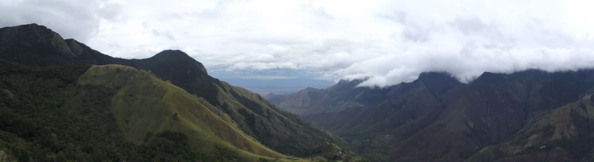
You arrive near the top still in darkness, then usually walk the final short stretch — roughly a kilometre or so uphill on foot — to the viewpoint, and wait. Then the show begins. The sky lightens over the distant ranges, colour bleeds slowly across the horizon, and below you the valleys reveal themselves choked with a thick white blanket of cloud that looks exactly like a rolling ocean. As the sun lifts clear, its low golden light skims the surface of that ‘sea of clouds’ and floods the surrounding peaks — a genuine near-360-degree panorama that ranks among the most famous sunrise views in all of South India.

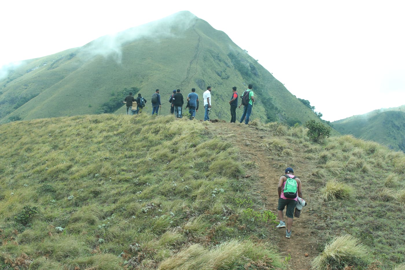
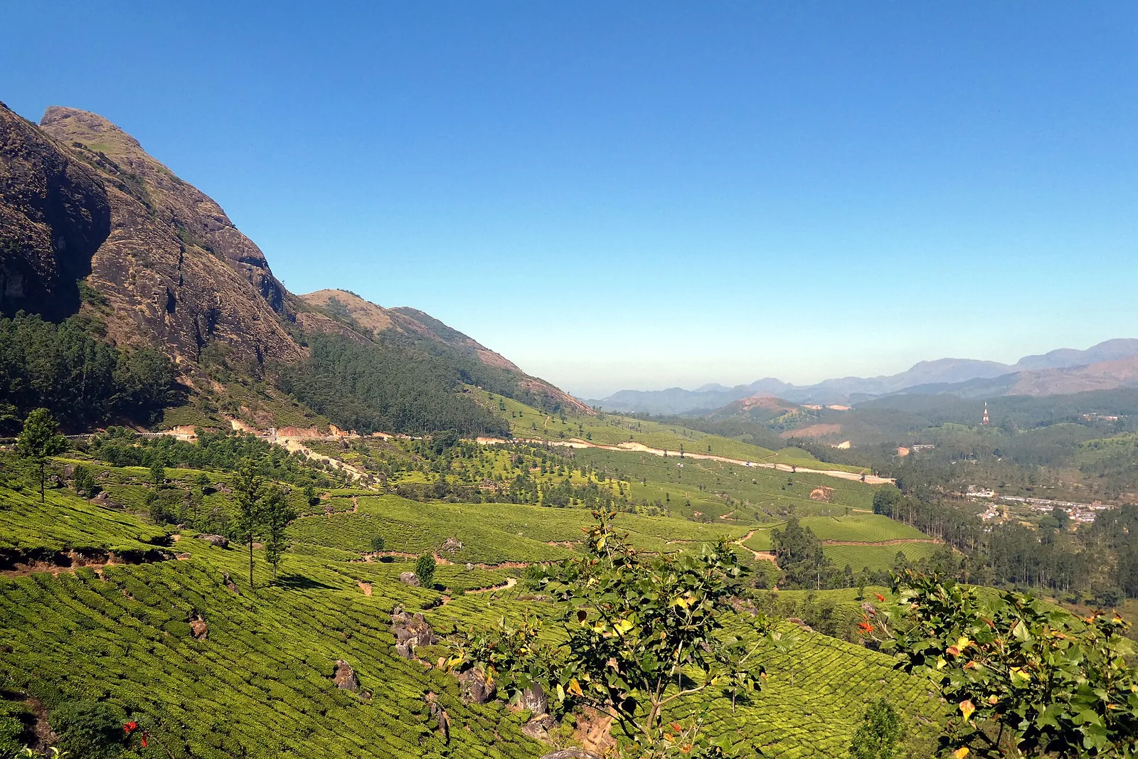
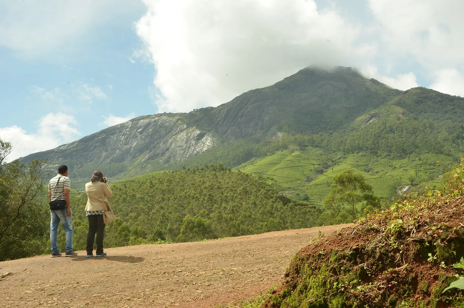
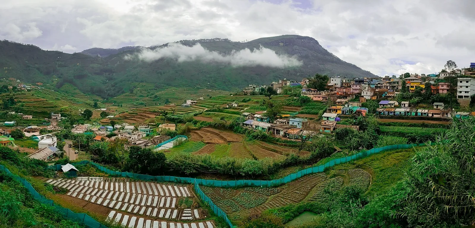
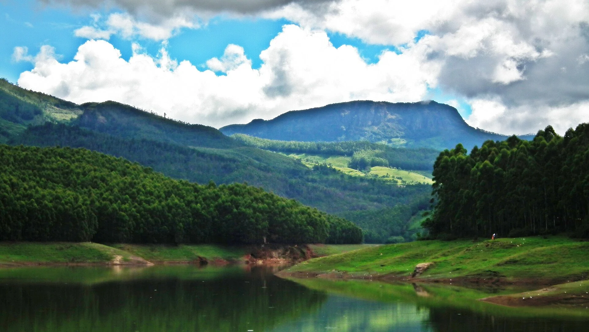
When the light has fully arrived, the landscape underneath comes into focus and takes the breath away all over again. Manicured tea slopes climb impossibly steep gradients, tea-pluckers’ paths thread across the contours, dry golden grassland ridges roll off toward Tamil Nadu, and the silvery ribbon of trekking trails winds away toward Meesapulimala, the second-highest peak in the Western Ghats. Clouds drift through at eye level, close enough to touch, and on a clear morning you can see for tens of kilometres across Idukki and down into the Theni plains far below.

The cold is real, and first-timers rarely expect it. At this altitude the pre-dawn air is thin, crisp and genuinely biting, and the wind can cut straight through a light jacket; regulars carry gloves, caps and a flask of hot tea, and part of the pleasure is wrapping cold hands around a glass of freshly brewed Kolukkumalai leaf while the sun does its work. Even in the warmer months the summit can feel wintry at 5 a.m., a startling contrast to the humid lowlands only a few hours’ drive away.

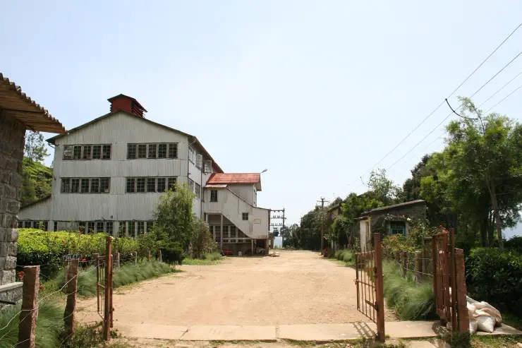
Once the sun is up, the estate itself becomes the attraction. Kolukkumalai’s claim to fame is its working British-era tea factory — a weathered timber-and-tin shed that has barely changed in nearly a century. Inside, the air is thick with the smell of withering leaf, and vintage rollers, wooden trays and hand-cranked sifters clatter and hum exactly as they did in the 1930s. A guided walk-through shows the full Orthodox process step by step, and you can taste and buy the estate’s prized high-grown tea straight from source, still warm from the dryer.

For all its fame, Kolukkumalai stays wild and comparatively uncrowded — the sheer difficulty of getting there keeps the numbers down and the atmosphere hushed. This is tea country at its most elemental: a remote frontier ridge straddling two states, where clouds pour over the pass, hawks ride the thermals, and a handful of plantation families keep an almost-forgotten craft alive at the literal roof of the tea-growing world. Come for the sunrise, and you leave having stood somewhere that feels genuinely at the edge of things.

Read the full history of Kolukkumalai 490 more words

History

Tea came to these remote heights under British colonial rule in the early twentieth century, when planters recognised that the extreme altitude, cool climate and slow-growing bushes could yield a distinctive, aromatic high-grown leaf unlike anything produced in the lowland gardens. The estate sits administratively within Bodinayakanur taluk of the Theni district in Tamil Nadu, right on the border with Kerala’s Idukki district, roughly 32 km from Munnar — a frontier location that has shaped its isolation and its character ever since.

The estate’s tea factory was built by the British around the mid-1930s, originally to process and sort the leaf gathered from the surrounding high-altitude slopes, and it has been working more or less continuously ever since. That unbroken run, combined with its extraordinary elevation of around 7,900 feet, is what earns Kolukkumalai its enduring reputation as the world’s highest tea plantation and tea factory.

What makes the factory truly extraordinary is that it never modernised. Instead of the fast, industrial CTC (Crush, Tear, Curl) process now used almost everywhere else in India, Kolukkumalai still follows the labour-intensive Orthodox method — the traditional multi-stage sequence of withering, rolling, sieving, fermenting, drying, fibre extraction and grading. It is slower and far more demanding, but it preserves the leaf’s natural aroma, colour and delicate flavour, which is why high-grown Kolukkumalai tea is so prized.

Much of the original British-era equipment is still in daily use. Vintage rollers, wooden withering and fermenting trays and hand-operated sifters dating back to the 1930s are driven by decades-old belt-and-pulley machinery rather than automation, and the layout of the shed has scarcely been altered since the day it was built. For visitors this turns the factory tour into something close to a living museum of colonial-era tea-making — one of the last places anywhere still producing tea the old way, by hand and by original machine.

Kolukkumalai’s second life, as a sunrise pilgrimage, is far more recent. For most of the twentieth century it was simply a working plantation reachable only by a punishing track, known mainly to planters and estate workers. As Munnar grew into one of South India’s most popular hill destinations in the 2000s and 2010s, local jeep operators from Suryanelli began running pre-dawn safaris up to the ridge, and word of the ‘sea of clouds’ sunrise spread through travellers and photographers. Today the jeep safari and the vintage factory together have made this once-obscure border estate one of the signature experiences of the Munnar region.

Why visit

Watch sunrise over a genuine ‘sea of clouds’ from the world’s highest tea estate.

Take a thrilling pre-dawn off-road 4WD jeep climb that is an adventure in itself.

Tour a working British-era factory still making Orthodox tea on 1930s machinery.

Soak up jaw-dropping near-360-degree views across the Western Ghats and toward Meesapulimala.

Photograph dramatic high-altitude tea slopes, drifting mist and low golden light.

Escape the crowds — it is far quieter, colder and wilder than central Munnar.
What to expect

Highlights

  • High-altitude tea-estate viewpoint route often planned as a sunrise jeep trip.
  • Pairs naturally with Munnar, Suryanelli, Anayirangal and tea-estate stay itineraries.
  • The businesses around this place are jeep operators, drivers, estate stays, guides and breakfast/tea stops.
Getting there

How to visit

  • Base in Munnar, Chinnakanal or Suryanelli depending on how early you want to start.
  • Book a jeep/operator with clear pickup time, vehicle type, route, inclusions and weather policy.
  • Carry warm layers and keep the rest of the day light after a very early start.

Distance by road

  • Kochi107 km
  • Madurai172 km
  • Thiruvananthapuram226 km
  • Coimbatore252 km
  • Kozhikode276 km

Road km to Idukki; ghat roads and traffic vary — allow extra.

Timing

Best time

Post-monsoon to winter gives the best mix of cooler air and clearer views. Avoid heavy rain and landslide-prone periods.

Weather in KolukkumalaiSeasonal guide

Live forecast loads in your browser.

Today at Kolukkumalai
Sunrise6:10 am
Sunset6:14 pm
Golden hour best light5:14 pm–6:14 pm
Blue hour after sunset6:14 pm–6:39 pm
Sun sets toward compass bearingW · 268°
Moon tonight🌖 Waning gibbous · 97%
South-west monsoon. June to September brings heavy rain to Kerala. Trails, falls and ghat roads can be slippery, swollen or closed at short notice, and forest departments sometimes suspend access. Check locally on the day before you travel.

Check the official alert before you travel. Kerala’s beaches, waterfalls and trekking routes close at short notice during heavy rain, and district alert levels change day to day. We do not publish an alert level of our own — read it from the state authority: Kerala State Disaster Management Authority, or the district control room on 1077.

Sun and moon are calculated for this location and shown in IST. Photography windows are the hour around sunrise and sunset; the sunset bearing is degrees clockwise from true north. Moon phase is accurate to about half a day.

Visitor notes

  • The road can be rough; this is not ideal for travellers with back problems or motion sensitivity.
  • Sunrise is weather-dependent, so do not promise a guaranteed view.
  • Exact address and pickup clarity matter because many operators advertise as "Kolukkumalai" from different bases.
Safety

Good to know

  • Use seatbelts where available and avoid overcrowded jeeps.
  • Do not stand near exposed edges for photos.
  • Skip the route in severe rain, lightning or official road warnings.
Official eco & forest programmes

Experiences around Kolukkumalai

These are official or public-sector eco offerings that match this place, town or forest destination. Confirm availability, permits, tariffs and reporting times with the official operator before travel.

Meesapulimala, Kolukkumalai
trekforest staycamping

Meesapulimala trek through Rhodo Valley

Hard high-altitude trek from the Munnar side via Rhodo Valley, run through KFDC eco-tourism with guide, food and stay options.

KFDC Ecotourism MunnarOvernight with next-day trek
Official source →
Meesapulimala Base Camp, Kolukkumalai
campingforest staytrek

Munnar Base Camp tent stay

KFDC tent stay near Meesapulimala base camp, with campfire, food and optional trek towards Meesapulimala or Rhodo Valley.

KFDC Ecotourism MunnartentOvernight
Official source →
Meesapulimala Base Camp, Kolukkumalai
forest staytrekviewpoint

Munnar Sky Cottage

Lonely cliff-side KFDC cottage facing a waterfall and Anamudi views, paired with Meesapulimala trekking.

KFDC Ecotourism Munnarforest cottageOvernight
Official source →
Rhodo Valley, Kolukkumalai
forest staytrekviewpoint

Munnar Rhodo Mansion

KFDC Rhodo Valley night stay with elephant-trench protection, campfire, food and next-day Meesapulimala climb.

KFDC Ecotourism Munnarforest cottageOvernight
Official source →
Eravikulam National Park, Kolukkumalai
wildlifeviewpoint

Eravikulam National Park visit

High-altitude grassland national park and Nilgiri tahr habitat near Munnar.

Kerala Forest Department
Official source →
Chinnar Wildlife Sanctuary, Kolukkumalai
trekwildlifeforest stay

Chinnar Wildlife Sanctuary eco visit

Dry-forest wildlife sanctuary east of Munnar, listed in Kerala Tourism’s ecotourism inventory.

Kerala Forest Department
Official source →
Pambadum Shola National Park, Kolukkumalai
trekwildlifeforest stay

Pambadum Shola National Park eco visit

Shola forest national park near the Munnar/Vattavada side, listed as an ecotourism destination and programme.

Kerala Forest Department
Official source →
Anamudi Shola, Kolukkumalai
trekwildlife

Anamudi Shola eco visit

Shola-grassland forest landscape in Idukki, included in Kerala Tourism’s official ecotourism destination list.

Kerala Forest Department
Official source →
Marayoor, Kolukkumalai
wildlifeinterpretationtrek

Marayoor sandalwood forest eco visit

Sandalwood and dry-forest landscape on the Munnar-Chinnar side, listed by Kerala Tourism as an ecotourism destination.

Kerala Forest Department
Official source →
Stay · eat · do · rent · see · shop

Stays, food & things to do near Kolukkumalai

Verified hotels, homestays, restaurants, experiences, sights, shops and rentals around Kolukkumalai — commission-free, with direct contact. Filter by what you need.

44 places to stay near Kolukkumalai

Blanket Hotel & Spa Munnar — Luxury resort in MunnarPhoto: Blanket Hotel & Spa
Top pick Verified
Luxury resort · Munnar
Blanket Hotel & Spa Munnar
32.3 km · 44 min drive 5-star ~₹690–800 by taxi

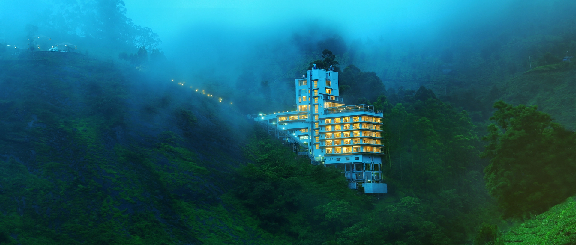
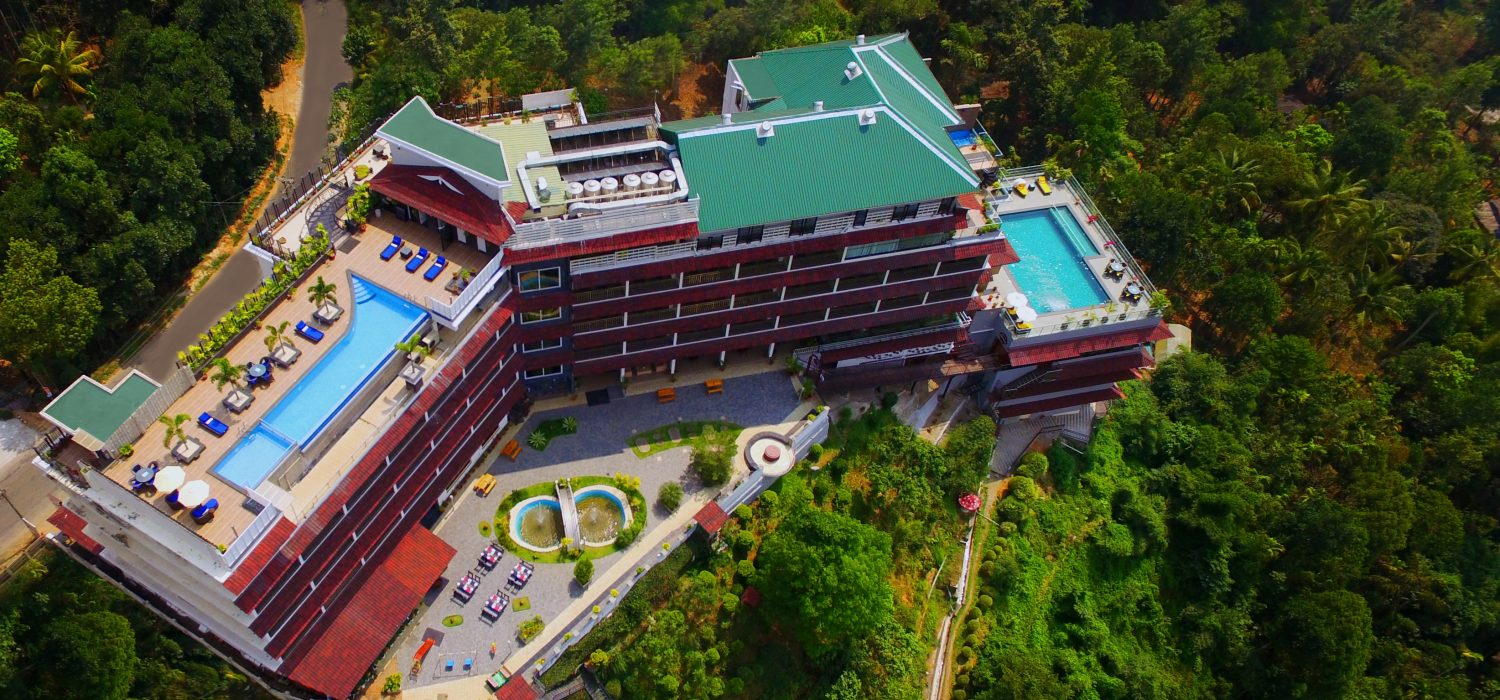
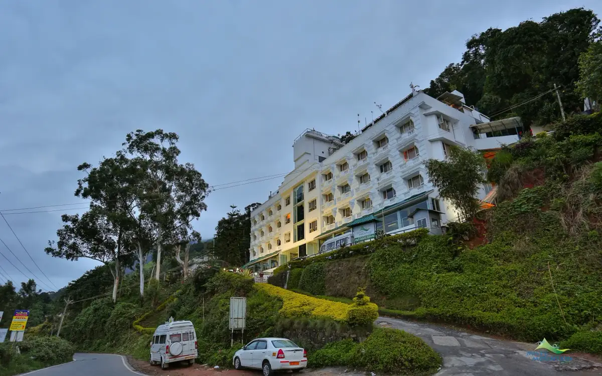
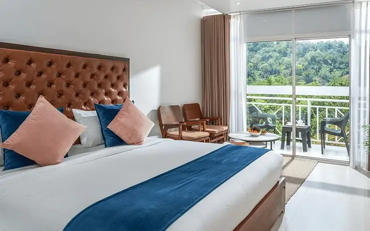
Blanket Hotel & Spa is in Pallivasal overlooking Attukad Waterfalls. Compare its room categories by the view and room arrangement you want; the property offers several different suites. Ask for the total rate, meal inclusions and the transfer from your actual Munnar arrival point.

Directions Commission-freeView details
Premium tea bungalow stay · Munnar
KDHP Tea Sanctuary Bungalows
27.4 km · 33 min drive ~₹600–700 by taxi

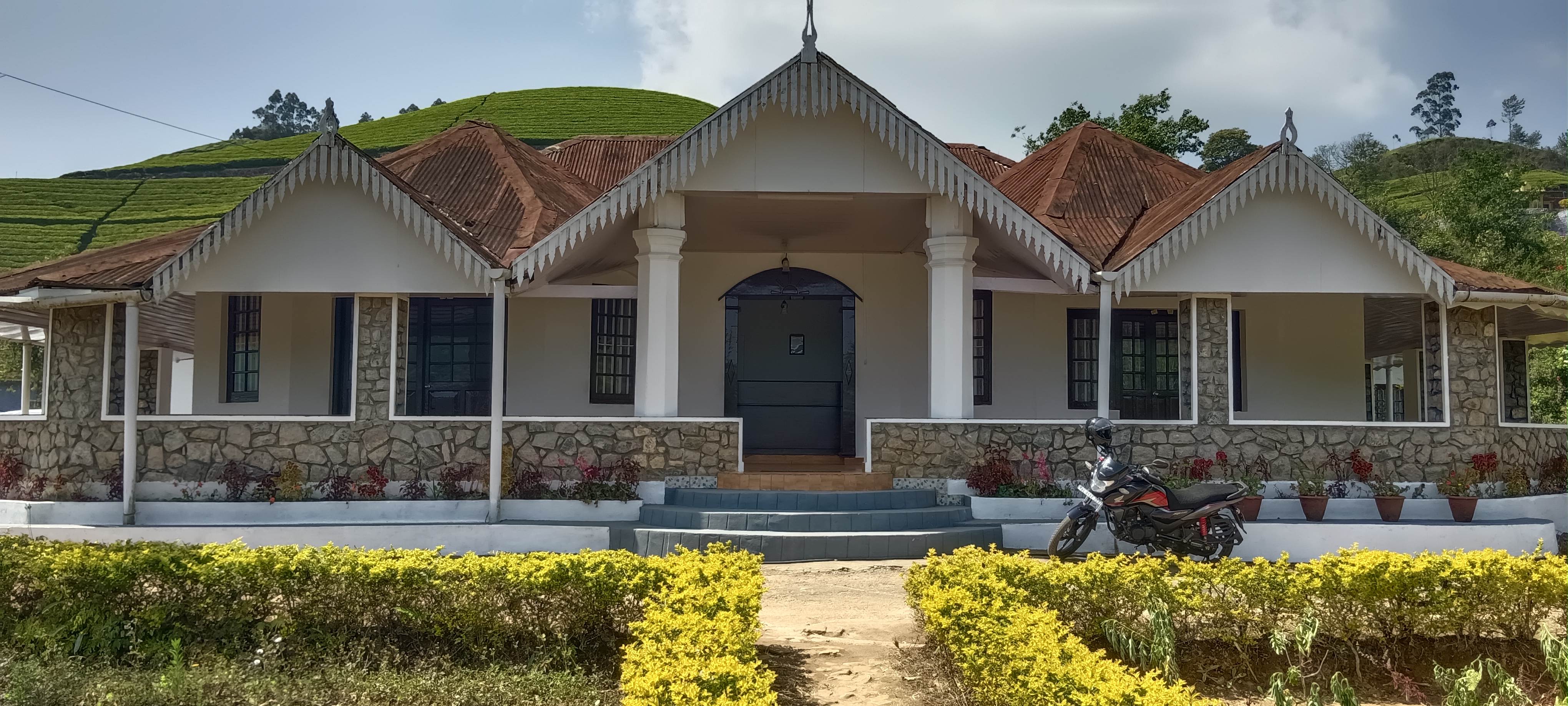
Official KDHP tea-estate bungalow stay for travellers planning plantation-side Munnar nights. Tourism Department, KDHP Company Private Limited, KDHP House, Munnar 685612, Kerala · Premium tea bungalow stay · Tea bungalow, Heritage stay, Plantation stay.

Directions Commission-freeView details
Luxury resort · Munnar
Chandy's Windy Woods Munnar
35.5 km · 47 min drive ~₹740–870 by taxi

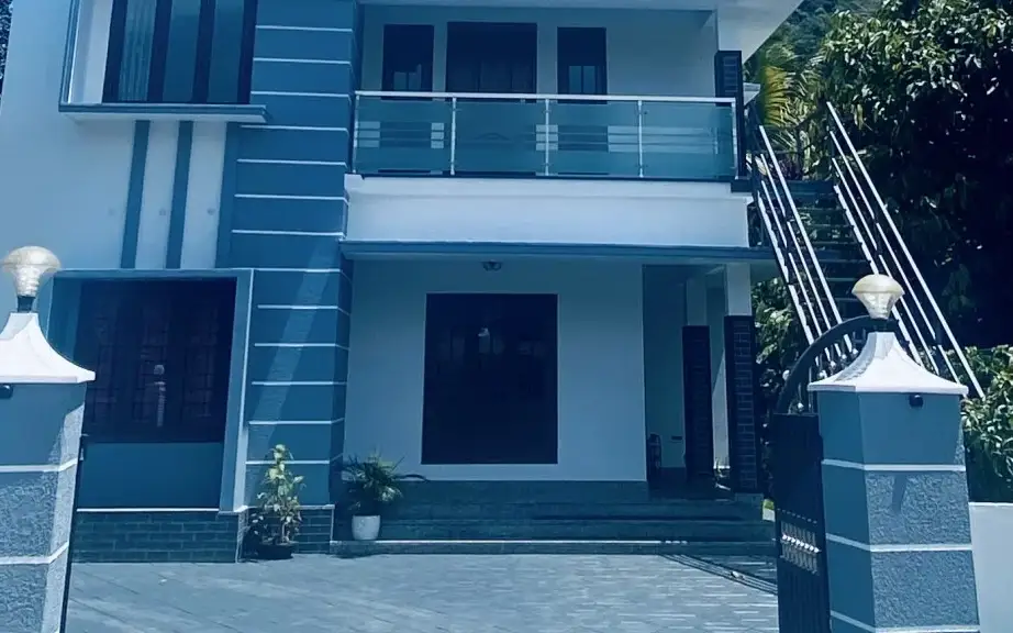
Chandy’s Windy Woods is a resort on terraced hill slopes near Munnar. Its hillside setting is a different choice from a town hotel. Compare the room category and view, and check the road transfer before combining your stay with early sightseeing departures.
Directions Commission-freeView details
The Fog Resort & Spa Munnar — Luxury resort and spa in MunnarPhoto: The Fog Munnar
Verified
Luxury resort and spa · Munnar
The Fog Resort & Spa Munnar
34.1 km · 43 min drive 5-star ~₹720–840 by taxi

Luxury resort and spa at Chithirapuram with villas, Ayurveda spa, restaurant and direct reservations.

Directions Commission-freeView details
Luxury hotel and spa · Munnar
Amber Dale Luxury Hotel & Spa Munnar
33.9 km · 43 min drive 5-star ~₹720–830 by taxi

Amber Dale Luxury Hotel & Spa sits on KSEB Tunnel Road at Pallivasal, Munnar. It pairs a restaurant and Ayurveda spa with a conference hall and activities such as cycling, trekking and camp fires.

Directions Commission-freeView details
Luxury hotel and spa · Munnar
The Panoramic Getaway Munnar
33.6 km · 42 min drive ~₹710–830 by taxi

Luxury Chithirapuram hotel with spa, restaurants and direct booking evidence. Luxury hotel and spa · Hotel, Chithirapuram, Luxury stay.

Directions Commission-freeView details
Pampadum Shola Forest Stays, Munnar Wildlife — Official budget forest stay in MunnarPhoto: Jaseem Hamza
Verified
Official budget forest stay · Munnar
Pampadum Shola Forest Stays, Munnar Wildlife
61.1 km · 85 min drive ~₹1200–1400 by taxi

Official budget forest stay in Munnar. Pampadum Shola National Park, booked through Forest Information Centre, Wildlife Warden's Office, Munnar PO, Idukki District, Kerala 685612 · Budget official forest stay · Forest stay, Pampadum Shola, Official booking.

Directions Commission-freeView details
SpiceTree Munnar — Luxury boutique spa resort in MunnarPhoto: SpiceTree Munnar
Verified
Luxury boutique spa resort · Munnar
SpiceTree Munnar
15.0 km · 20 min drive ~₹380–440 by taxi

Boutique five-star retreat between Kannan Devan and Bison Valley hills. Has 14 suites and two private pool villas.

Directions Commission-freeView details
Mid-range town hotel · Munnar
Grand Plaza Munnar
28.4 km · 35 min drive ~₹620–720 by taxi

Eco boutique hotel with 39 rooms overlooking tea plantations. Set on M.S.A Road close to the heart of Munnar.

Directions Commission-freeView details
Resort · Munnar
Misty Mountain Resort Munnar
34.9 km · 43 min drive 4-star ~₹730–850 by taxi

Misty Mountain Resort offers standard, valley-view and deluxe room categories near Munnar. Decide whether the view or room arrangement is your priority when comparing quotes. Ask the hotel which category is available for your dates and how meals and sightseeing transfers are charged.

Directions Commission-freeView details
Premium nature resort · Munnar
Rivulet Resort Munnar
32.0 km · 39 min drive ~₹680–790 by taxi

Premium Chithirapuram-side nature resort with restaurant, activities and direct booking evidence. Rivulet Resort, Chithirapuram P O, Munnar, Kerala 685565 · Premium nature resort · Resort, Chithirapuram, Nature stay.

Directions Commission-freeView details
Tea Valley Resort Munnar — Premium tea-valley resort in MunnarPhoto: Tea Valley Resort
Verified
Premium tea-valley resort · Munnar
Tea Valley Resort Munnar
32.6 km · 42 min drive ~₹690–810 by taxi

Tea Valley Resort is on Bisonvalley Road at Pothamedu, Pallivasal. Choose it for a stay among tea plantations rather than a town-centre address. Ask about the final road approach, room category and meal arrangements when comparing the full cost of a Munnar holiday.

Directions Commission-freeView details
Hotel · Munnar
Chandy's Windy Woods
35.5 km · 47 min drive ~₹740–870 by taxi

Chandy’s Windy Woods is a resort on terraced hill slopes near Munnar. Its hillside setting is a different choice from a town hotel. Compare the room category and view, and check the road transfer before combining your stay with early sightseeing departures.

Directions Commission-freeView details
Hotel · Munnar
Fragrant Nature Munnar
31.8 km · 40 min drive ~₹680–790 by taxi

Five-star classified resort about 4 km from town at Pothamedu. Dining spans the Black Truffle and Glass House restaurants.

Directions Commission-freeView details
Hotel · Munnar
Clouds Valley Munnar
28.5 km · 34 min drive ~₹620–720 by taxi

Four-star hotel in the heart of Munnar town with 52 rooms. A handy base for reaching most nearby attractions.

Directions Commission-freeView details
Hotel · Munnar
Bougainvillea Homestay Munnar
33.8 km · 42 min drive ~₹710–830 by taxi

Five-room boutique homestay in Anachal near the Munnar bypass. Home-cooked meals, tea-plantation tours and 24-hour room service.

Directions Commission-freeView details
Hotel
Abad Copper castle
17.0 km · ~28 min by cab 2-star

Clifftop Abad resort perched around 1,600 m near Pothamedu. Its 40 rooms overlook the Kannan Devan hills and river valley.

Directions Commission-freeView details
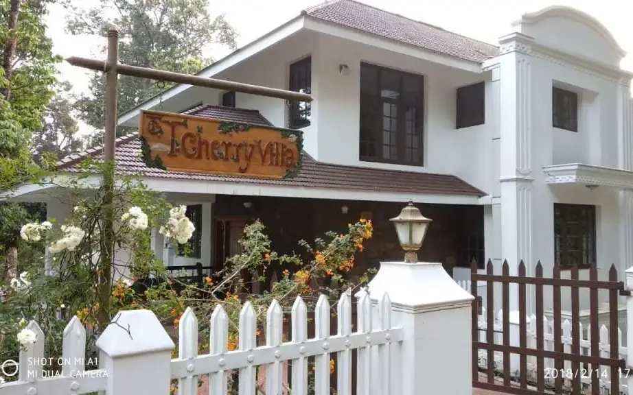
T. Cherry Villa Munnar — 3-Star serviced villa in MunnarPhoto: Kerala Tourism
Verified
3-Star serviced villa · Munnar
T. Cherry Villa Munnar
33.2 km · 44 min drive 3-star ~₹700–820 by taxi

A Kerala Tourism 3-Star serviced villa near Pothamedu view point, Munnar, with an in-house restaurant, travel desk and airport-transfer support.

Directions Commission-freeView details
Greenspaces Serviced Villa Munnar — 3-Star serviced villa in MunnarPhoto: Kerala Tourism
Verified
3-Star serviced villa · Munnar
Greenspaces Serviced Villa Munnar
34.1 km · 47 min drive 3-star ~₹720–840 by taxi

A Kerala Tourism 3-Star serviced villa at Pothamedu, built with eco-friendly materials amid cardamom plantation about 10 km from Munnar town.

Directions Commission-freeView details
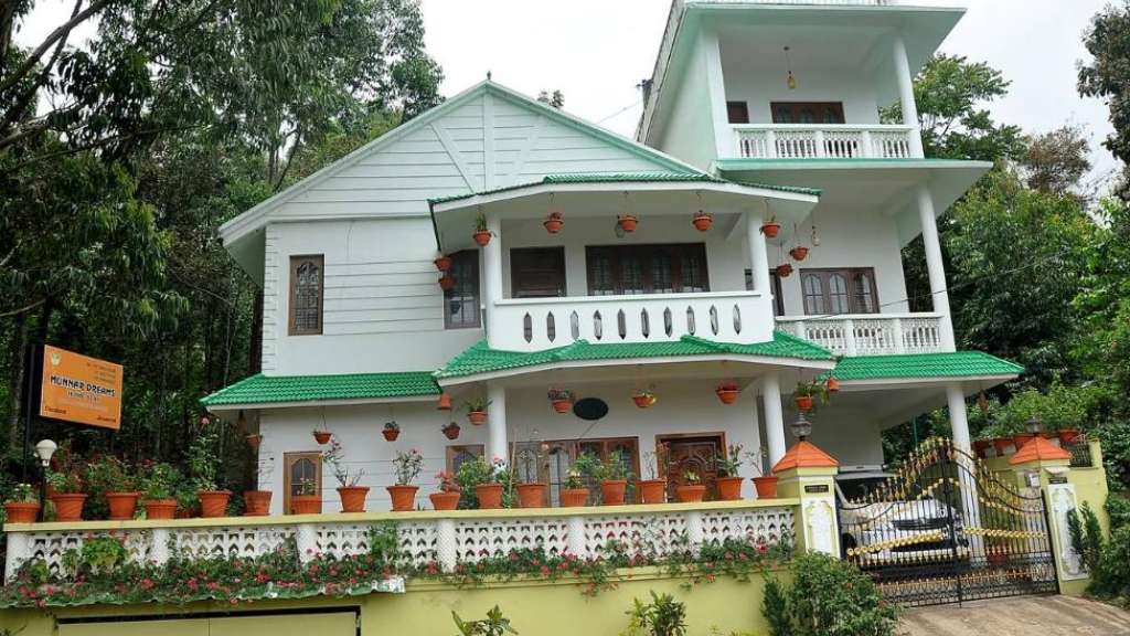
Munnar Dreams Serviced Villa — Serviced villa in MunnarPhoto: Kerala Tourism
Verified
Serviced villa · Munnar
Munnar Dreams Serviced Villa
7.6 km · 10 min drive ~₹120–140 by auto

A Kerala Tourism Gold-approved serviced villa at Chinnakanal, with colonial-style rooms and a balcony overlooking Anayirangal Lake amid tea and cardamom estates.

Directions Commission-freeView details
The Sanctuary Munnar — Silver House homestay in MunnarPhoto: Kerala Tourism
Verified
Silver House homestay · Munnar
The Sanctuary Munnar
35.7 km · 46 min drive ~₹750–870 by taxi

Kerala Tourism Silver-classified Munnar homestay at Thokkupara, with Wi-Fi, car hire and coffee-maker rooms for a quiet host-led stay.

Directions Commission-freeView details
Achoos Munnar Homestay — Munnar homestay in MunnarPhoto: Kerala Tourism
Verified
Munnar homestay · Munnar
Achoos Munnar Homestay
34.1 km · 43 min drive ~₹720–840 by taxi

Kerala Tourism-listed Munnar homestay at Chithirapuram, Ettycity, useful as a host-led base near the Chithirapuram cluster of Munnar.

Directions Commission-freeView details
Familycare Homestay Munnar — Munnar homestay in MunnarPhoto: Kerala Tourism
Verified
Munnar homestay · Munnar
Familycare Homestay Munnar
28.4 km · 35 min drive ~₹620–720 by taxi

Kerala Tourism-listed Munnar homestay at Kurinji Nagar off Nellathanni Road, close to the Tea Museum, with homely Kerala food and Wi-Fi.

Directions Commission-freeView details
7's Castle Homestay Munnar — Munnar homestay in MunnarPhoto: Kerala Tourism
Verified
Munnar homestay · Munnar
7's Castle Homestay Munnar
43.9 km · 58 min drive ~₹890–1040 by taxi

A Kerala Tourism-listed, host-led homestay at Koompanpara on the Munnar NH near Adimali, with homely Kerala food, car hire, travel desk and high-speed Wi-Fi.

Directions Commission-freeView details

Book with the place itself. India’s cyber-crime coordination centre warned in April 2025 that convincing copies of hotel and pilgrimage booking sites are being pushed through sponsored search and social ads, taking payment for rooms the property never hears about. Every listing here links to the business’s own contact details and its own Google or Bing profile — we take no commission and sit in nobody’s payment path. If a booking page reached you through an ad, check the address bar against the property’s own site before you pay. Fraud can be reported on cybercrime.gov.in or on 1930.

Ranked guides

Top experiences around Munnar

32 more places around Munnar. Open a guide to plan the visit and onward journey.

hill stationMunnar

Kerala’s most famous hill station, known for tea estates, viewpoints and cool weather.

wildlifeEravikulam National Park

High-altitude grassland park, Nilgiri tahr habitat and access point for Anamudi views.

viewpointAnamudi Peak

The highest peak in South India, viewed through Eravikulam/Rajamala access contexts near Munnar.

wildlifeRajamala

Rajamala is the designated tourism and awareness zone of Eravikulam National Park near Munnar. It is not a separate unrestricted summit trek or the whole national park.

museumTea Museum

Tea-history museum in Munnar linked with the plantation story of the high ranges.

damMattupetty Dam

35.5 km · 48 min drive

Reservoir, boating and lake-view stop on the Munnar-Mattupetty sightseeing circuit, usually paired with Echo Point and Kundala.

viewpointEcho Point

41.4 km · 59 min drive

Popular Munnar lakeside viewpoint on the Mattupetty-Kundala route, useful for short stops, photos and family sightseeing.

damKundala Lake

61.2 km · 91 min drive

High-range lake and dam stop beyond Mattupetty on the Top Station route.

viewpointTop Station

60.5 km · 89 min drive

A border-highland viewpoint in Theni, Tamil Nadu, normally approached through Munnar, Mattupetty and Kundala; named for the former tea-transport terminus, with a separate stepped viewpoint walk.

trekMeesapulimala trek

59.9 km · 89 min drive

Popular high-altitude Western Ghats trek, usually booked through official eco-tourism channels.

wildlifeChinnar Wildlife Sanctuary

Dry-forest wildlife sanctuary on the Marayoor-Udumalpet side of Idukki.

heritageMarayoor

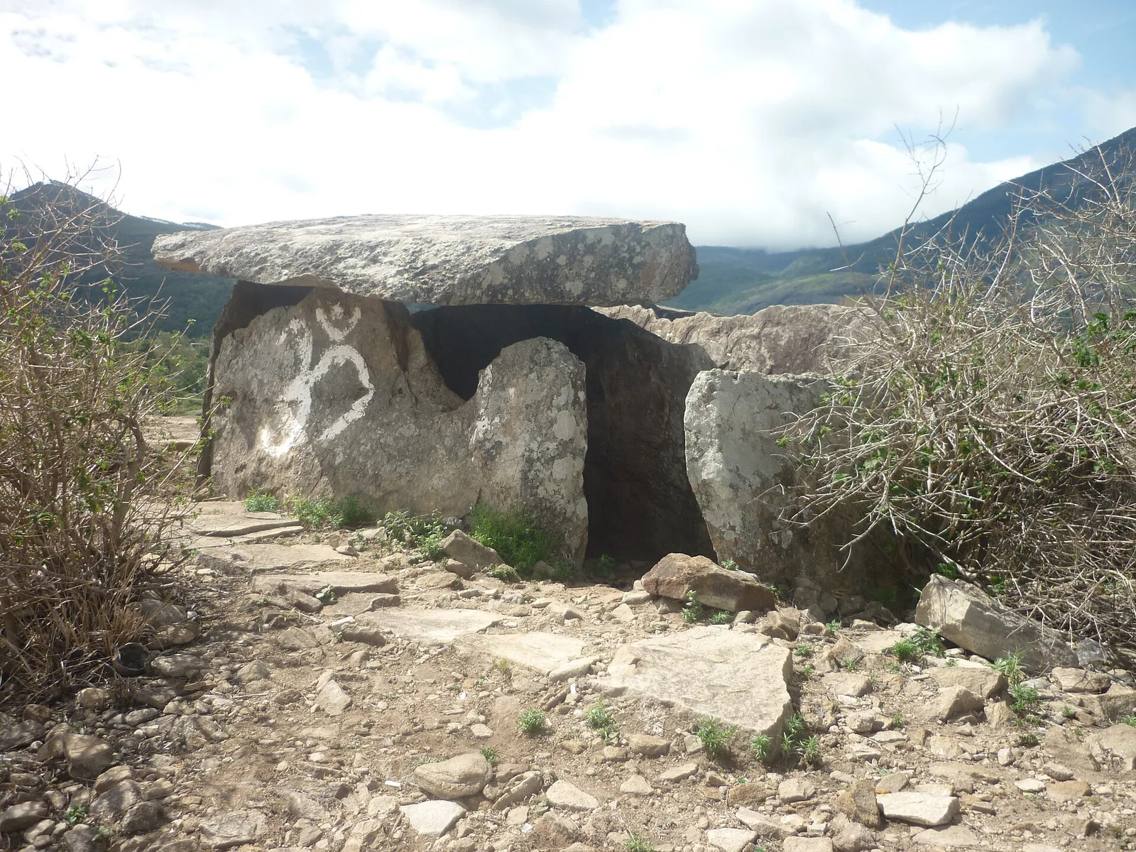
High-range village known for natural sandalwood forests, dolmens and sugarcane jaggery.

wildlifePambadum Shola National Park

62.5 km · 88 min drive

Pampadum Shola National Park protects high-elevation forest beside the Top Station–Vattavada road. The Top Station forest check post is the reporting anchor here; forest stays and guided walks require their own confirmed arrangements.

wildlifeAnamudi Shola

Anamudi Shola National Park protects Mannavan, Pullaradi and Idivara shola forests in the Kanthalloor–Vattavada high ranges. Methappu is the visitor anchor on this page; this is not Anamudi Peak or the Rajamala visitor area.

waterfallLakkam Waterfalls

Waterfall stop on the Munnar-Marayoor route, usually paired with Eravikulam and Marayoor days.

waterfallAttukad Waterfalls

Waterfall area near Munnar commonly used for short scenic drives and monsoon views.

viewpointLockhart Gap

14.7 km · 19 min drive

The pass itself on the Munnar–Bodimettu highway, where the ridge drops away east — and the lay-by the Chokramudi Peak trek reports from, 51 m from the forest counter. A second, busier viewpoint signed "Lockhart Gap Road View Point" sits 1.7 km east.

damAnayirankal Dam

17.2 km · 25 min drive

Anayirankal is a KSEB earth-and-rockfill dam and reservoir in the Panniyar hydel system near Chinnakanal and Santhanpara. The map identifies the published hydel visitor-centre marker; boating is not currently assured.

waterfallPower House Waterfalls

The Muthirapuzha spread sideways over bare rock at 796 m, below the tailrace of Pallivasal — the first hydroelectric station Kerala built. Free, unmanaged and very quiet, down about a kilometre of steep narrow lane. ⚠ Not the Chinnakanal falls that Kerala Tourism describes under this name, 21 km east.

viewpointBlossom Hydel Park

The Kerala State Electricity Board’s riverside flower park on the Munnar–Aluva road, 3.3 km below Munnar town and 1.2 km from the KSRTC stand at Old Munnar. It runs along the east bank of the Muthirapuzha immediately above the 1944 R. A. Headworks weir that feeds Pallivasal, Kerala’s first hydroelectric station — which is what the "hydel" in the name means. Open daily 09:15 to 20:15 with tickets sold online by Kerala Hydel Tourism Centre.

hill stationDevikulam / Sita Devi Lake

21.1 km · 26 min drive

Hill-station and lake landscape near Munnar associated with Devikulam and Sita Devi, best planned as a quieter high-range side trip.

waterfallNayamakad Waterfalls

Nyayamakad, also called Nayamakad, is the waterfall and tea-estate landscape on the Munnar–Rajamala approach. The map uses the identifiable Nyamakad roadside stream-view base, not a waterfall lip, pool entrance or estate walking permit.

trekChokramudi Peak trek

14.7 km · 19 min drive

Forest Department peak trek from the counter at Gap Road, 13.2 km from Munnar: a mapped 2.09 km path climbing about 460 m of grassland and shola to a summit whose altitude four sources disagree about.

trekKurinjimala Sanctuary trek

The 32 km² sanctuary above Kottakamboor and Vattavada, notified in 2006 for one plant — Strobilanthes kunthiana — with two walks and two stays in the Forest Department's own brochure and nothing bookable online.

trekThoovanam Falls trek

Forest Department guided walk in Chinnar Wildlife Sanctuary, from the Alampetty counter on SH17 down the river to the Thoovanam waterfall. Kerala Tourism contradicts itself on which river it follows: its own destination article says the Pambar, and the page selling this programme says the Chinnar.

trekChinnar Dolmen Culture trek

Forest Department culture trek in Chinnar Wildlife Sanctuary to prehistoric dolmen (muniyara) sites, run with local tribal Eco-Development Committees. Report at the Alampetty guide stand on the Marayoor–Udumalpet road (SH17), 6.4 km beyond Marayoor.

trekVasyappara Trekking and Camping

Forest Department trekking-and-camping programme at Vasyappara in Chinnar Wildlife Sanctuary — an overnight stay in a mud hut on a hill crest, published by the department as the Chinnar Valley Safari Trail. Report at 3 pm at the Chinnar check post on the Marayoor–Udumalpet road, not at the Alampetty counter 10.2 km back.

hill stationKanthalloor

High-range village near Marayoor often called the “Kashmir of Kerala”, known for terraced farms of apples, oranges, strawberries and vegetables at around 1,800 m.

hill stationVattavada

Cool high-altitude farming village beyond Munnar near the Tamil Nadu border, known for terraced vegetable and fruit cultivation, Kurinji slopes and quiet valley views.

viewpointPothamedu Viewpoint

A road-accessible viewpoint in Pothamedu south of Munnar, looking across planted hills and wooded valleys. The viewpoint marker is separate from the wider village and from private plantation walking routes.

wildlifeMathikettan Shola National Park

7.2 km · ~18 min by auto

Mathikettan Shola protects a remnant of native Cardamom Hills forest in Idukki. Visits are arranged through the Forest Department, with distinct Pethotty and Choondal approaches; a reservoir viewpoint is not a park-entry permit.

viewpointChathurangapara Viewpoint

15.5 km · ~26 min by cab

A wind-turbine ridge in Chathurangappara, Udumbanchola taluk, with views towards Theni’s cultivated plains; reached from the Munnar–Kumily road, with an exposed final hill approach.

Roampedia is commission-free — own or know a stay, eatery, guide or shop near Kolukkumalai? List it and it appears here once verified.

Add a nearby business
Before you go

Kolukkumalai — at a glance

TimingsSunrise-focused; jeeps generally depart Munnar/Suryanelli pre-dawn around 3:30–4:30 AM, with operators running from early morning through to around 5:00 PM
Best timeBest from around September/October to February/March for clear skies, crisp air and dramatic cloud seas; avoid the heavy monsoon (roughly June–August) when rain and cloud can block the sunrise and make the road unsafe

Entry: Roughly ₹3,000–₹3,500 per jeep (up to about 6 people) including the gate pass, or around ₹500–₹1,000 per head for a shared jeep; the tea factory/estate visit is a separate charge of about ₹150 per person

Dress code: No formal dress code, but dress very warmly — windproof jacket, layers, gloves and a cap; it is bitterly cold and windy before dawn

Photography: A paradise for photographers: shoot the golden sunrise over the sea of clouds, layered ridgelines of the Western Ghats, steep tea slopes and drifting mist. Bring a wide-angle lens, keep a cloth handy for condensation, and expect low light before the sun rises. Carry a fully charged battery — the cold drains power fast.

Getting here

How to reach Kolukkumalai

  • ✈︎ By air The nearest major airport is Cochin International Airport (Nedumbassery), roughly 145–160 km and about 4–5 hours by road to Munnar, from where you continue to Suryanelli for the jeep transfer. Madurai Airport, on the Tamil Nadu side via Theni/Bodinayakanur, is another option at a broadly similar distance.
  • 🚆︎ By train On the Kerala side, the nearest useful railheads are Aluva and Ernakulam, roughly 130–140 km from Munnar. From the Tamil Nadu side, the Madurai–Theni–Bodinayakanur corridor is the closer approach. From any of these you continue by road to Munnar/Suryanelli and then transfer to a jeep.
  • 🚗︎ By road Kolukkumalai’s summit is reachable only by 4WD jeep. It lies about 35 km from Munnar; travellers first drive to Suryanelli (about 22 km from Munnar) and transfer to an off-road jeep for the final climb, of which roughly the last 9 km is a rough, steep, unpaved track. Jeeps depart pre-dawn (commonly around 4:00–4:30 a.m.) to reach the viewpoint for sunrise.
  • 🚌︎ By bus State and private buses reach Munnar, and local transport connects on to Suryanelli, but there is NO bus service up to the summit. You must transfer to a 4WD jeep at Suryanelli for the final ascent.
Getting back

If you are travelling by bus or ferry, check the return service with the operator before setting out. Leave time to reach the stop or jetty after your visit.

Ask at the bus stand for the time of the last service back, not the next one. If you miss it, an auto or app cab is the fallback — agree the fare before you get in.

Do

Things to do

  • Watch the sunrise and the sea of clouds from the summit viewpoint
  • Take the off-road 4WD jeep safari from Suryanelli up to the peak
  • Tour the historic British-era tea factory and see the Orthodox process
  • Watch tea being processed on original 1930s machinery and buy fresh estate tea
  • Do the short easy-to-moderate sunrise trek/walk around the ridge (about 30–45 minutes)
  • Photograph the tea slopes, mist and panoramic Western Ghats views
  • Enjoy hot tea in the cold mountain air while taking in the valley below
Getting around Kolukkumalai

If you need step-free access, contact the site before travelling. Ask about a level entrance, steps along the route, the nearest drop-off point, seating and accessible toilets.

Nearby

What’s near Kolukkumalai

wildlifeMathikettan Shola National Park

Mathikettan Shola protects a remnant of native Cardamom Hills forest in Idukki. Visits are arranged through the Forest Department, with distinct Pethotty and Choondal approaches; a reservoir viewpoint is not a park-entry permit.

7.2 km · ~18 min by auto · straight line
viewpointLockhart Gap

The pass itself on the Munnar–Bodimettu highway, where the ridge drops away east — and the lay-by the Chokramudi Peak trek reports from, 51 m from the forest counter. A second, busier viewpoint signed "Lockhart Gap Road View Point" sits 1.7 km east.

14.7 km · 19 min drive
trekChokramudi Peak trek

Forest Department peak trek from the counter at Gap Road, 13.2 km from Munnar: a mapped 2.09 km path climbing about 460 m of grassland and shola to a summit whose altitude four sources disagree about.

14.7 km · 19 min drive
viewpointChathurangapara Viewpoint

A wind-turbine ridge in Chathurangappara, Udumbanchola taluk, with views towards Theni’s cultivated plains; reached from the Munnar–Kumily road, with an exposed final hill approach.

15.5 km · ~26 min by cab · straight line
damAnayirankal Dam

Anayirankal is a KSEB earth-and-rockfill dam and reservoir in the Panniyar hydel system near Chinnakanal and Santhanpara. The map identifies the published hydel visitor-centre marker; boating is not currently assured.

17.2 km · 25 min drive
hill stationDevikulam / Sita Devi Lake

Hill-station and lake landscape near Munnar associated with Devikulam and Sita Devi, best planned as a quieter high-range side trip.

21.1 km · 26 min drive
damMattupetty Dam

Reservoir, boating and lake-view stop on the Munnar-Mattupetty sightseeing circuit, usually paired with Echo Point and Kundala.

35.5 km · 48 min drive
viewpointEcho Point

Popular Munnar lakeside viewpoint on the Mattupetty-Kundala route, useful for short stops, photos and family sightseeing.

41.4 km · 59 min drive
trekMeesapulimala trek

Popular high-altitude Western Ghats trek, usually booked through official eco-tourism channels.

59.9 km · 89 min drive
viewpointTop Station

A border-highland viewpoint in Theni, Tamil Nadu, normally approached through Munnar, Mattupetty and Kundala; named for the former tea-transport terminus, with a separate stepped viewpoint walk.

60.5 km · 89 min drive
damKundala Lake

High-range lake and dam stop beyond Mattupetty on the Top Station route.

61.2 km · 91 min drive
wildlifePambadum Shola National Park

Pampadum Shola National Park protects high-elevation forest beside the Top Station–Vattavada road. The Top Station forest check post is the reporting anchor here; forest stays and guided walks require their own confirmed arrangements.

62.5 km · 88 min drive

All 27 places to visit in Munnar →

Walking and driving times are real routed distances, except the few marked “straight line”, which are direct-line estimates and will read short. Fare figures are estimates from Kerala’s notified auto/taxi tariff and exclude waiting and night charges. Routing: © openrouteservice.org by HeiGIT | Map data © OpenStreetMap contributors

On the map

Where Kolukkumalai is

Good to know

Kolukkumalai — frequently asked

Why is Kolukkumalai called the world’s highest tea estate?

Its tea gardens sit at around 7,900 feet (over 2,100 metres) on a ridge straddling the Kerala–Tamil Nadu border, an elevation widely cited as the highest at which tea is commercially grown and processed anywhere in the world. The height gives the leaf its distinctive aroma and freshness.

How do I get to the top — can I drive my own car?

No. The final climb is a rough, steep, unpaved track that can only be tackled by specialised 4WD jeeps with experienced local drivers. Regular cars cannot make it. You drive to Suryanelli (near Munnar) and transfer to a jeep there for the ascent.

What time should I start for the sunrise?

Jeeps typically leave Suryanelli or Munnar very early — commonly around 4:00 to 4:30 a.m. — to reach the viewpoint before sunrise, roughly between 5:30 and 6:00 a.m. There is usually a short uphill walk of about a kilometre from the jeep drop-off to the viewpoint.

When is the best time of year to visit?

The clearest skies and best ‘sea of clouds’ views generally come in the cooler, drier months from around October to March. Heavy monsoon rain (roughly June to September) can make the track dangerous and cover the sunrise in dense cloud, so it is best avoided.

Is there an entry fee or permit for the sunrise viewpoint?

There is generally no separate entry ticket or special permit for the sunrise viewpoint itself; the main cost is the jeep safari, which is usually arranged through operators in the Suryanelli base village. A factory tour or tea tasting may carry a small separate charge.

How cold does it get, and what should I bring?

Very cold before dawn — the thin high-altitude air and wind can feel wintry even in warmer months. Bring warm layers, a windproof jacket, a cap and gloves, sturdy shoes for the short walk, and ideally a flask of hot drink. A torch and a fully charged camera are also worth carrying.

When is the best time to visit Kolukkumalai?

Post-monsoon to winter gives the best mix of cooler air and clearer views. Avoid heavy rain and landslide-prone periods.

What are the entry fee and timings at Kolukkumalai?

Entry: Roughly ₹3,000–₹3,500 per jeep (up to about 6 people) including the gate pass, or around ₹500–₹1,000 per head for a shared jeep; the tea factory/estate visit is a separate charge of about ₹150 per person. Timings: Sunrise-focused; jeeps generally depart Munnar/Suryanelli pre-dawn around 3:30–4:30 AM, with operators running from early morning through to around 5:00 PM.

How do I reach Kolukkumalai?

Base in Munnar, Chinnakanal or Suryanelli depending on how early you want to start. Book a jeep/operator with clear pickup time, vehicle type, route, inclusions and weather policy. Carry warm layers and keep the rest of the day light after a very early start.

How much time do I need for Kolukkumalai?

4 to 6 hours from the Munnar side, depending on pickup point and stops.

What else is near Kolukkumalai?

Nearby you can pair Mathikettan Shola National Park (7.2 km), Lockhart Gap (14.7 km), Chokramudi Peak trek (14.7 km), Chathurangapara Viewpoint (15.5 km).

What should I know before visiting Kolukkumalai?

Use seatbelts where available and avoid overcrowded jeeps. Do not stand near exposed edges for photos. Skip the route in severe rain, lightning or official road warnings.

Read before you go

Kolukkumalai guides, stories & itineraries

Stories & history of Kolukkumalai

Written about Kolukkumalai itself — its history, its legends and the arguments about them.

Around Munnar

These guides explore Munnar and the surrounding area. Choose a visit that fits your interests, allowing separately for travel between stops.

In-depth guides to Munnar

Written about Munnar as a whole rather than about Kolukkumalai — its history, its streets, and how to spend a day in it.

Kerala-wide guides & itineraries

Route-level itineraries and practical guides for the rest of Kerala.

See all 152 Idukki guides & stories →

Image credits

Photographs: Musheer1999 (CC BY-SA 4.0), Mohammed Faris M A (CC BY-SA 4.0), Kaartic (CC BY-SA 4.0), Niyas8001 (CC BY-SA 4.0), Athulvis (CC BY-SA 4.0), Jan J George (CC BY-SA 4.0), Sarathgks92 (CC BY-SA 4.0), Jiths (CC BY 2.0), Jaseem Hamza (CC BY 3.0), Fotokannan (CC BY-SA 3.0). Wikimedia Commons.