There are two waterfalls in Idukki that people call Power House Falls, they are twenty-one kilometres apart, and Kerala Tourism's page about this one is describing the other one. This record is the western falls: the Muthirapuzha spread over bare rock at 796 metres, a few hundred metres below the tailrace of Pallivasal, the first hydroelectric station Kerala ever built. It is quiet, it is free, it is reached down a steep narrow lane rather than off a highway, and in March it can be almost dry. This page is about telling the two apart, about the power station the falls is named after, and about what a river looks like when a 1944 weir upstream decides how much of it arrives.
The story of Power House Waterfalls
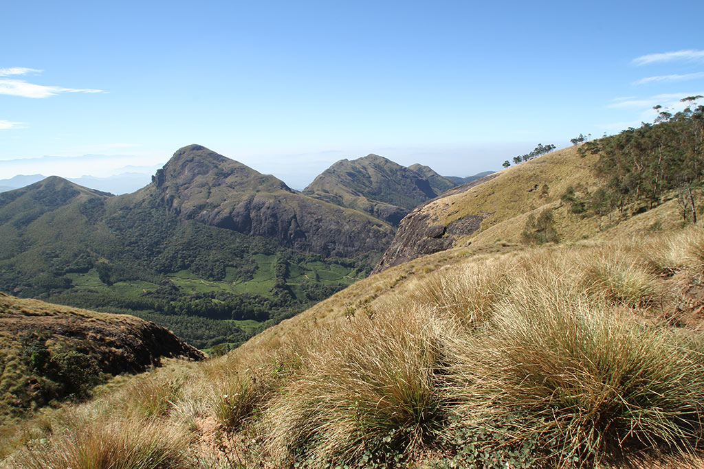
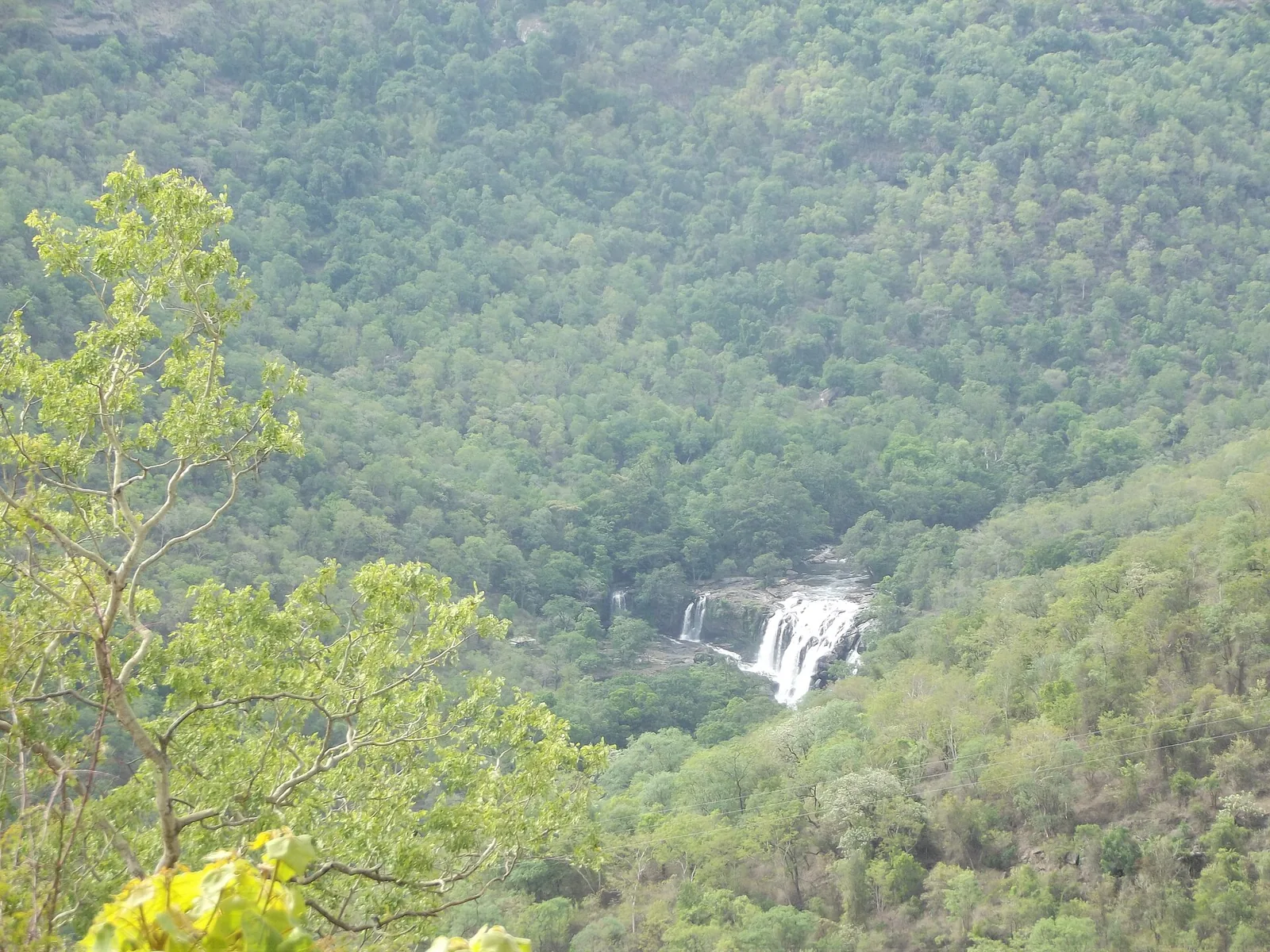
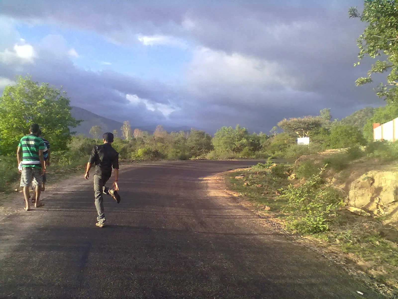
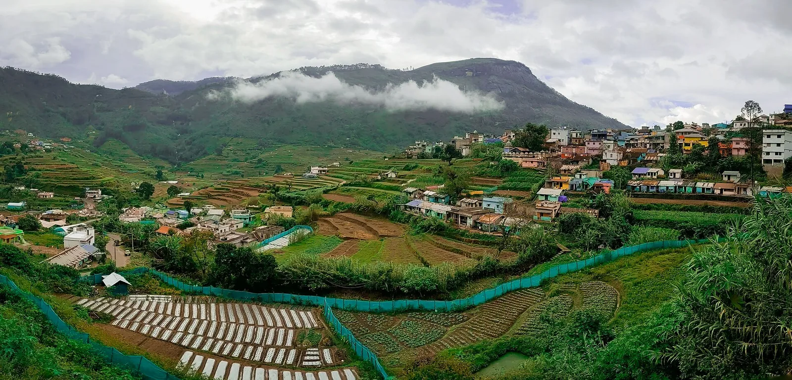
Nothing signs the turning. The routed way out of Munnar is 15.0 kilometres and about twenty-four minutes, and it changes road four times: 7.4 km down NH85, the Kochi–Dhanushkodi highway, then 2.7 km on SH44, the Sabarimala–Kodaikkanal road, then 2.8 km on SH59, the Hill Highway, which passes 530 metres from this pin — and then roughly a kilometre of lanes with no names on them at all, the final stretch of which navigation maps label, unhelpfully, "resort road". That final kilometre is the part everybody who has driven it comments on, with unusual consistency, as very steep and very narrow. At the bottom the trees open and the Muthirapuzha is in front of you: not one plume off a cliff but a whole river laid out sideways across bare rock, sliding and breaking over slabs and boulders in half a dozen channels at once, with a small bridge over the middle of it. The elevation here is 796 metres, which is low for this district — Munnar town, fifteen kilometres back up the road, sits at 1,462 metres — and it feels it. The vegetation at the water is not tea and not shola; it is the ordinary riverine green of the lower ghats, with coconut and areca in it.
Now the thing you need to know before you drive anywhere, because two hours depend on it. Search "Power House Waterfalls Munnar" and you will land on Kerala Tourism's page, and Kerala Tourism's page is not describing this waterfall. It says the falls is eighteen kilometres from Munnar on the road to Thekkady, that it stands two thousand metres above sea level, that it rises in Sita Devi Lake at Devikulam, and that it is also known as Chinnakanal Waterfall. Every one of those points east, to the far side of Munnar, and none of them fits the place we have just described. We measured all of them. The Chinnakanal falls is 17.5 kilometres from Munnar by road — Kerala Tourism's eighteen. This one is 15.0 kilometres, in the opposite direction. The Chinnakanal falls stands at 1,638 metres. This one is at 796. Sita Devi Lake is at 1,769 metres and drains east; it is 973 metres above this pin and on the wrong side of the watershed, so no water from it has ever come over these rocks.
So why is this record here rather than on the Chinnakanal falls? The western site is locally mapped under this name, while Kerala Tourism’s measurable distance, elevation and roadside clues describe the eastern cascade. The eastern falls is separately mapped under the Chinnakanal and Periyakanal names, fifty-eight metres apart on the same rock face. The tourism copy has taken a local nickname off one waterfall and pasted it onto the other, and then everybody downstream of the tourism copy has repeated it.
The confusion is not confined to travel sites. It is live in Google's own reviews, under this pin, right now. The most recent long review on the record says: "While travelling from Munnar to Thekkady, we stopped at the beautiful Power House Waterfalls, located near Chinnakanal village… conveniently situated right beside the main road." That is the eastern falls, described accurately, filed under the western one. Two reviews further down another visitor writes: "The place is near pallivasal power station. Its a calm and beautiful place… The approach road to this place is very steep and narrow, so have to be very careful while driving." That is this one, also described accurately. A third review on the same record is about a care centre serving free rice porridge between half past five and seven in the morning and has nothing to do with either waterfall. When you read that the falls is right beside the main road and also that it is down a steep narrow lane, you are not reading contradictory accounts of one place. You are reading accurate accounts of two.
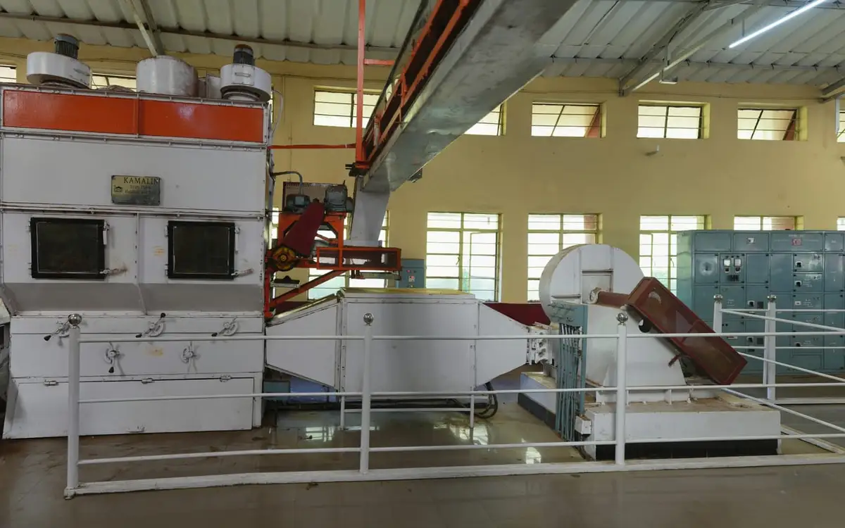
The name is industrial rather than romantic, referring to the power house 836 metres upriver on the same bank. In March 1940 the Travancore Diwan, C. P. Ramaswamy Iyer, started the first generating unit at Pallivasal, giving Kerala its first hydroelectric power. Units followed in February 1941 and February 1942, and a second phase took the station to 37.5 megawatts. The power house stands at Chithirapuram at about 844 metres elevation, roughly forty-eight metres above these rocks; the falls therefore lie below the station rather than above it.
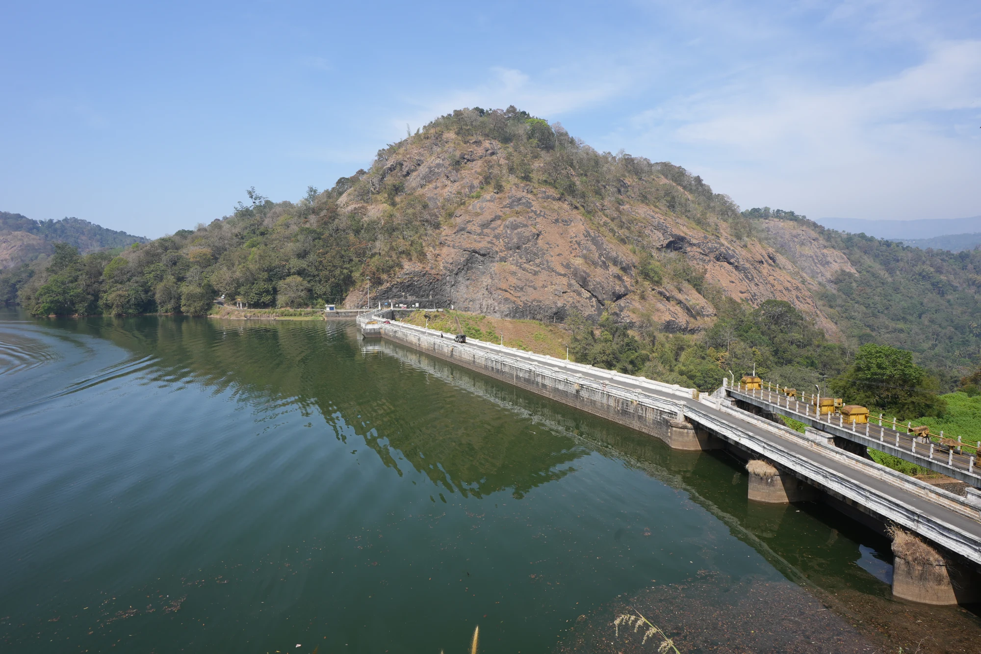
That relationship is the most interesting thing about this waterfall and almost nobody writes it down. In 1944 a masonry weir was completed on the Muthirapuzha upstream — the R. A. Headworks, ten point nine metres high from its deepest foundation, thirty-nine point six metres long, three spillway gates of 11.60 by 6.70 metres, holding a fifth of a million cubic metres at full reservoir level. Its job is not storage in any meaningful sense. Its job is to take the river out of its bed and send it through a conducting system to the power house on the right bank. Which means that between the weir and the station, the Muthirapuzha is a river that has had most of itself removed; and below the station, where you are standing, it is a river that has had itself given back, through six Pelton wheels. What comes over these slabs on a dry March afternoon is, in large part, whatever Kerala's electricity demand happened to require that day. "No water. Not good to visit in summer season," says one review, in five words, and that is the mechanism behind it.
The chain does not stop at Pallivasal. The Muthirapuzha is a tributary of the Periyar, and it has been engineered along nearly its whole descent: Kundala and Mattupetty upstream, built in the station's second phase to store the water that runs it; Pallivasal here; then Sengulam and Panniyar further down the valley towards Adimali, so that the same water turns three sets of machines before it reaches the plains. It is one of the oldest cascades of its kind in India and it is why a district that has almost no industry has three power houses inside fifteen kilometres of each other. Standing at the falls you are standing in the middle of it, at the one point where the river is briefly allowed to be a river again.
There is a fourth power house here that has not generated anything yet, and it has been not generating for a quarter of a century. The Pallivasal Extension Scheme is a two-by-thirty-megawatt project — sixty megawatts, 153.90 million units a year — with a power tunnel of about three and a half kilometres, a pressure shaft of some 1,131 metres and a penstock of 1,285 metres, all of it aimed at a new power house at Chithirapuram, with the tailwater to run by gravity into the Sengulam reservoir. KSEB granted revised administrative sanction on 20 November 2001, for ₹269.87 crore. The execution contract went to the ESSAR–DEC–CPPL consortium for ₹268.01 crore, and on 13 September 2018 the board terminated it for poor progress at site. The half-built power house is photographed on Wikimedia Commons, geotagged 1,065 metres from this pin. If you want a single image of what has happened to hydroelectric construction in Kerala since the 1970s, it is that building.
Around all of this is a village where the industrial name has settled into daily use. The gram panchayat ward on this bank is called simply "Powerhouse"; two ponds a couple of hundred metres north are named "Power House Bhagam", and the state crèche up the lane is "Power House Ankanavadi". A power station opened in 1940 and, decades later, its name belongs to the ward, ponds, crèche and waterfall.
What it is like, as against what it is: quiet. That is the whole of the case for coming. Unlike the built viewpoints at Attukad and Lakkam, this low-infrastructure river stop is lightly promoted and can be empty on a weekday. The pool at the foot of the slabs is shallow enough to wade at low flow and people do, and the rock is the danger rather than the depth — wet gneiss under a film of algae is as slick as ice, and the slabs shelve. There is no fee, gate or published closing time, and nobody is stationed here to take money. There is also no lifeguard, no railing, no lighting, no toilet and no shop, and the nearest bus stop is more than a kilometre and a half away, which is the practical difference between this and the roadside falls at Chinnakanal that everyone has confused it with.
One more thing to hold on to, because it is the part that changes fastest. A river below a hydroelectric station is not a natural river and does not rise and fall like one. It can come up without rain, when demand comes up. It can be low in the middle of a wet week and running hard on a dry evening. Do not read the rock you can see from the bridge as a guide to the rock that will be there in twenty minutes, do not leave bags or children on a slab in the middle of the channel, and treat the south-west monsoon, June to August, as a period when this lane and this riverbed are both genuinely hazardous rather than merely wet. Idukki loses people to water every year, and it very rarely loses them at the famous places with the railings.
Legend & myth
This waterfall has no myth, and the absence is worth a paragraph, because it is unusual in these hills and it is recent. Nearly a thousand metres of altitude and a ridge away — Devikulam is 27.0 km from here by road and its lake stands 973 m above this riverbed — Devikulam is "the pool of the goddess" and its lake is Sita Devi's, where she is said to have bathed in the exile. Anamudi is the elephant's forehead. Chokramudi has a stone shrine on it that no government description mentions. Here the pond is Power House Bhagam, the creche is the Power House Ankanavadi, the ward is Powerhouse, and the falls is Power House Falls. The naming layer that took hold on this bank is not Ramayana and not Muthuvan and not even planter — it is 1940s public works. A generating station arrived, and within two generations it had taken the names of the water, the land division and the children's creche.
What is older is the river’s own name. Muthirapuzha — മുതിരപ്പുഴ — survives at every scale: the waterfall address uses "Muthirappuzhayar", the lane above is Muthirapuzhayar Road, the public well carries the same name, and maps label the river in both scripts. The falls has been renamed twice in a century; the river has not.
There is a small folk-etymological trap in the English spelling, of the same family as the one that turned Lockhart into Lock Heart one valley east. "Power House" written as two words invites people to look for a house, and there is no house — the station is a long low industrial shed and the thing most visitors photograph as "the power house" is in fact the unfinished Extension Scheme building, which has never housed any power at all.
Read the full history of Power House Waterfalls 457 more words
History
March 1940: the first unit at Pallivasal is started by the Travancore Diwan, C. P. Ramaswamy Iyer. It is the first hydroelectric power generated in Kerala, and the station 836 m upstream of these falls is the reason everything on this bank is called Power House.
February 1941 and February 1942: the second and third units are commissioned, completing the first phase of three machines.
1944: the R. A. Headworks, a masonry weir 10.90 m high and 39.62 m long with three spillway gates of 11.60 × 6.70 m, is completed on the Muthirapuzha upstream. It diverts the river out of its bed and through a conducting system to the power house on the right bank — which is why the flow over these rocks is regulated rather than natural.
1950: the three original Escher Wyss Pelton sets are uprated from 4.5 MW to 5 MW apiece.
Second phase: Kundala Dam and Mattupetty Dam are built to store the water, and three Boving Pelton sets of 7.5 MW are added, taking Pallivasal to 37.5 MW and roughly 284 million units a year.
20 November 2001: KSEB accords revised administrative sanction of ₹269.87 crore for the Pallivasal Extension Scheme — 2 × 30 MW, 153.90 million units, a 3.5 km power tunnel and a 1,285 m penstock to a new power house at Chithirapuram.
13 September 2018: the board terminates the Extension Scheme's execution contract with the ESSAR–DEC–CPPL consortium, awarded at ₹268.01 crore, for poor progress at site. The unfinished power house stands 1,065 m from this pin.
2026: Kerala Tourism still publishes two destination pages under the name "Power House Waterfalls", numbered 210 and 773, and both of them describe the Chinnakanal falls 21 km east rather than this one.
Why visit
It is a quiet, low-infrastructure stop and can be empty on a weekday, unlike the built viewpoints at Attukad and Lakkam.
It is a whole river spread sideways over bare rock with a bridge across the middle of it, rather than a single drop — a different kind of waterfall from every other one on the Munnar circuit.
It is the only place you can stand inside the Muthirapuzha hydroelectric cascade and see what the river does between the machines: the 1944 weir above, Kerala's first power station 836 m up the bank, Sengulam and Panniyar below.
It costs nothing, has no gate and no closing time, and at 796 m it is warm enough to be comfortable when Munnar at 1,462 m is cold and in cloud.
It is the correct answer to a question thousands of people get wrong every year — which of the two Power House Falls is which — and being at the quiet one is, on most days, the better outcome.