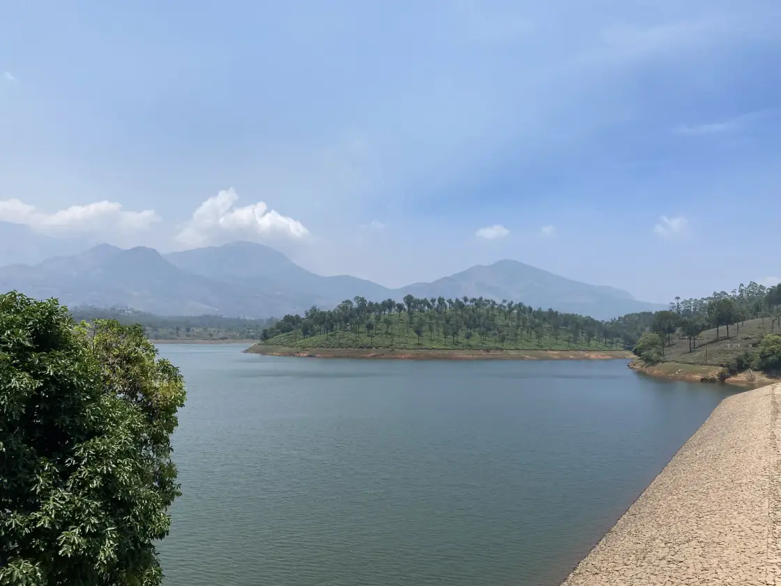
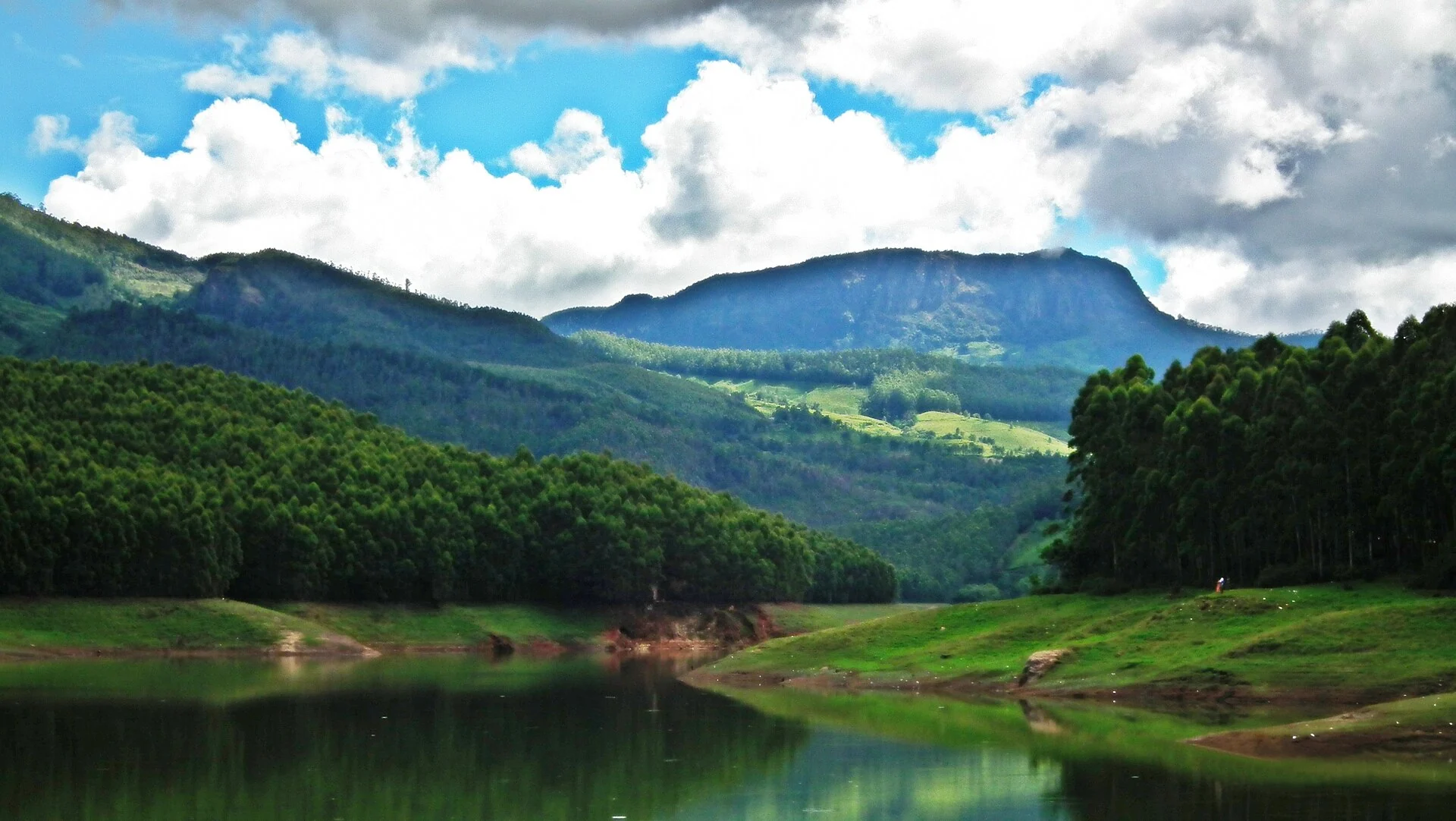
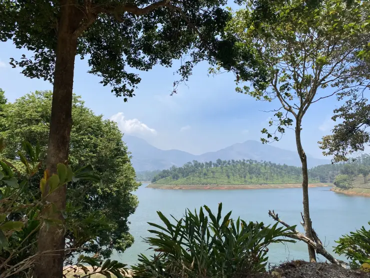
At Anayirankal, the eye follows the meeting of three surfaces: still water, a pale strip of exposed bank and the textured green of planted hills. The scene changes as the water rises and falls. Understanding the dam’s purpose makes that changing edge part of the attraction rather than an imperfection in a postcard view.
The story of Anayirankal Dam
The reservoir belongs to the Panniyar hydroelectric system. Anayirankal stores water upstream of Ponmudi, from which water is drawn for Panniyar Power Station. It therefore plays a supporting storage role within a connected scheme. The visible lake and embankment are one stage in that system, not a self-contained explanation of where every unit of electricity is generated.
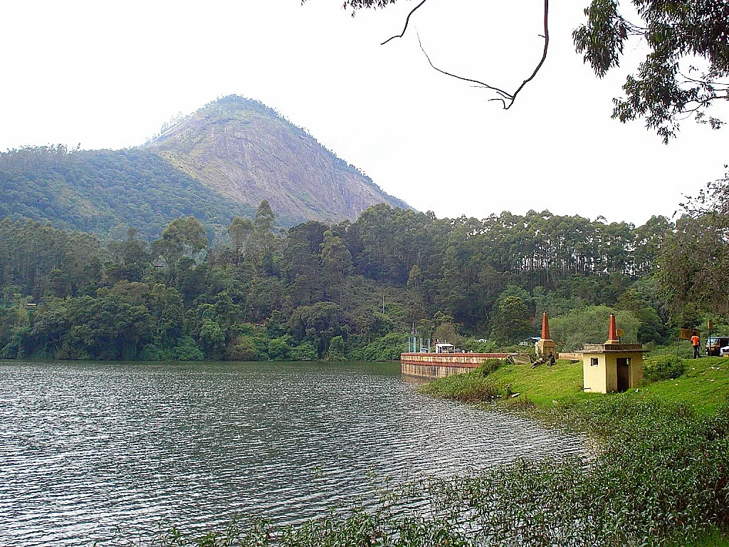
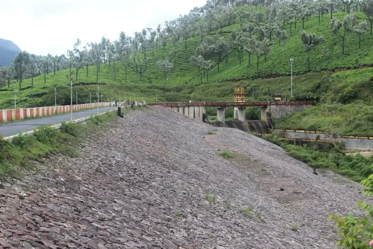
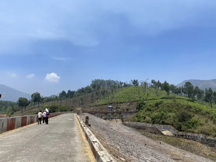
This is an earth-and-rockfill dam with a masonry spillway. A photograph from KSEB shows its broad stone-covered slope, the road along its crest and a spillway structure at one side. The profile differs strongly from an upright arch dam. Recognising that distinction gives the visitor something specific to look for instead of treating all Munnar-area reservoirs as versions of the same attraction.
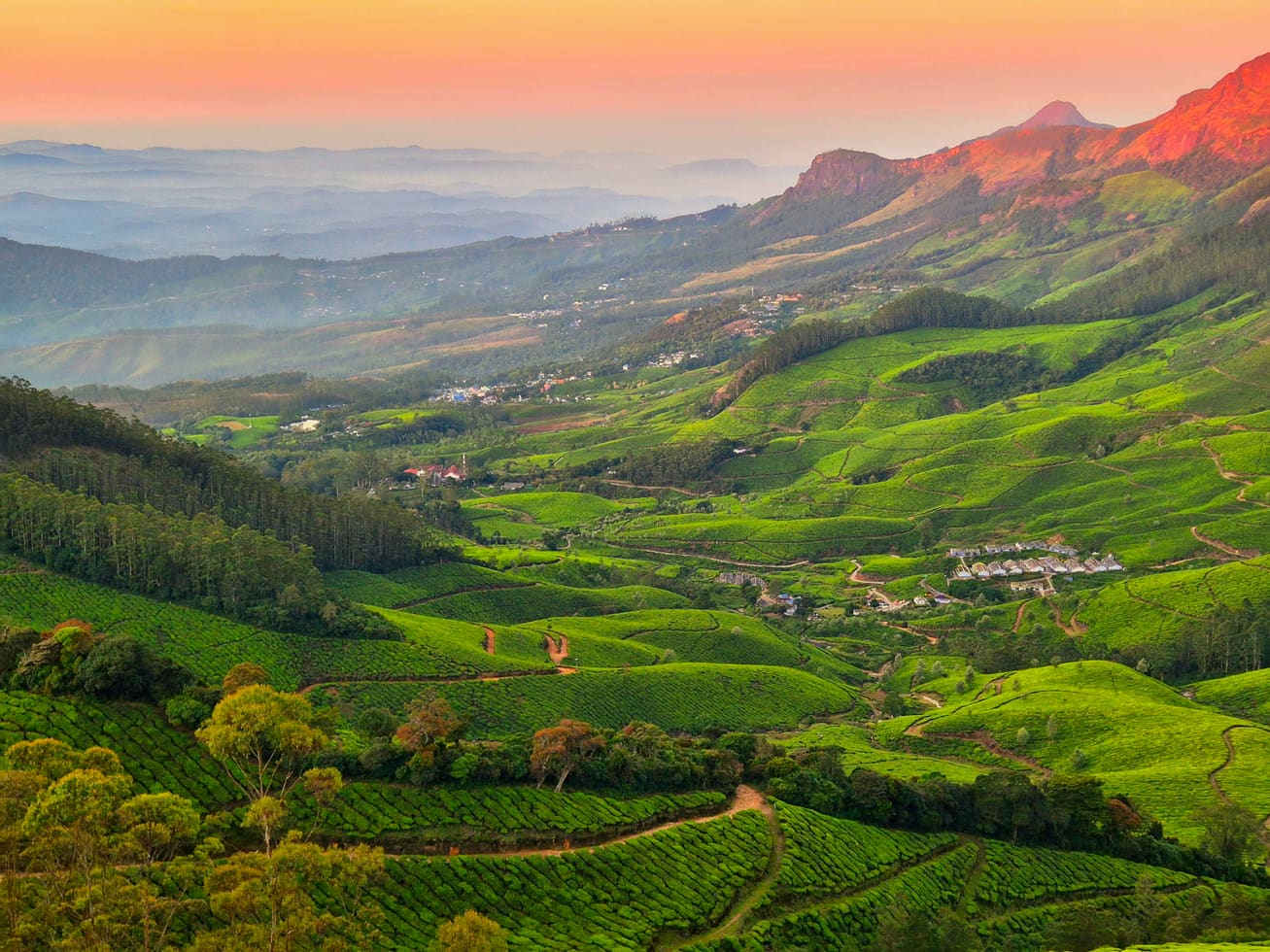
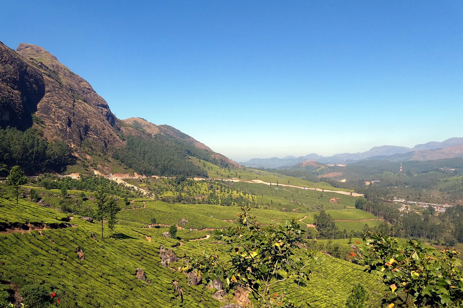
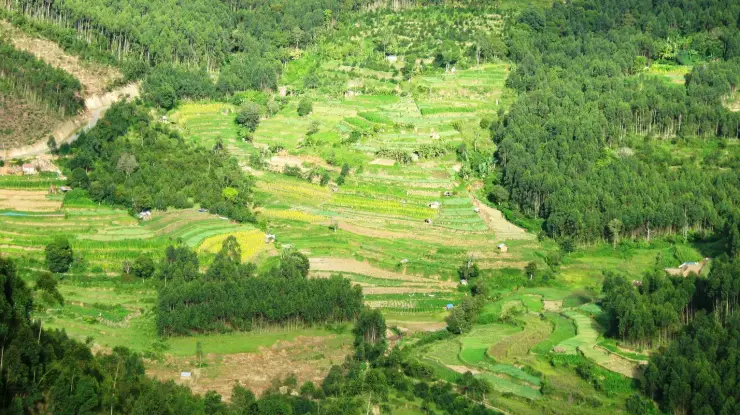
The tea slopes provide another readable pattern. Closely clipped bushes form a low, continuous surface while taller trees rise at intervals above them. Across the water, that combination gives a hillside a different texture from the irregular canopy of a wooded bank. Both appear in Anayirankal photographs, sometimes within the same view, and each catches changing light differently.
The exposed bank is evidence of a fluctuating reservoir. At lower levels, a wider pale band can separate vegetation from the water, and projecting landforms become more pronounced. At higher levels the same view can look simpler and fuller. These are different states of a managed water body; neither should be used to promise the exact scene awaiting a future visit.
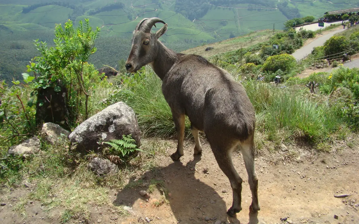
The name is associated in the hydel tourism account with elephants descending towards the water. That connection belongs to the place’s identity, but it is not a scheduled wildlife experience. A reservoir visit should never depend on approaching an elephant or waiting in a position needed by animals. The landscape remains meaningful when no wildlife is visible.
The visitor centre has historically promoted boating under the Elephant Abode name. Current availability requires separate attention because the hydel attraction listing marks facilities temporarily unavailable. Photographs of moored craft are useful records of the place, but they cannot serve as a timetable. A view-based visit and a boat outing therefore need different expectations.
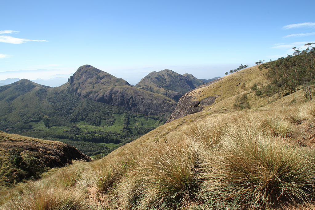
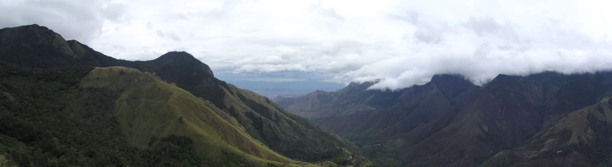
Anayirankal brings two uses of the high-range landscape into one view: water storage below and plantation cultivation above. The embankment holds the reservoir across a valley, while the tea follows the folds of the surrounding slopes. Looking between them makes the engineering easier to understand than a view of open water alone.
Read the full history of Anayirankal Dam 232 more words
History
KSEB’s emergency action plan records the dam’s commissioning in 1965. That date belongs to Anayirankal itself, and should not be confused with the commissioning of another dam or power station in the wider system.
The same engineering record identifies Anayirankal as an augmentation reservoir upstream of Ponmudi. Water can be released through a lower-level outlet into the downstream river before reaching that reservoir. The relationship explains why power generation, rainfall and storage needs shape the scene visible to a visitor.
Tourism developed around the reservoir’s landscape, while the dam retained its operational role. The public visitor-centre identity and the engineering asset are therefore related but distinct. A tourism catalogue cannot override restrictions on the embankment, spillway or outlet works.
Reservoir photographs record changes in water level as well as changes in viewpoint. A broad exposed bank and a narrow waterline can belong to the same place in different conditions. The pale shoreline below the planted slopes is particularly useful for recognising this variation at Anayirankal.
Why visit
The reservoir combines visible engineering with tea-country scenery, making it more than a distant blue patch on a drive.
Its earth-and-rockfill profile provides a clear contrast with other well-known Kerala dam forms.
Photographers can study the changing relationship of shore, water and plantation texture from a permitted visitor position.
The Panniyar–Ponmudi connection gives a short stop a concrete story about how high-range water is stored and used.