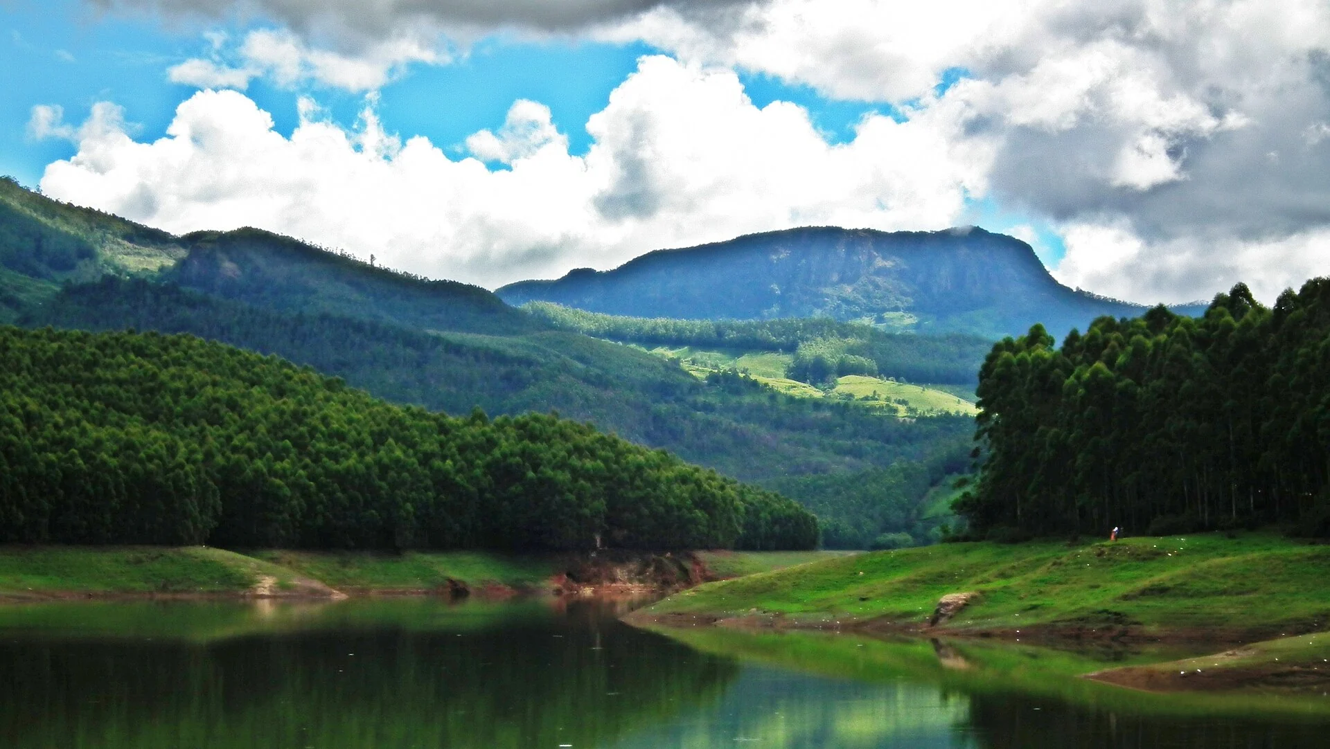
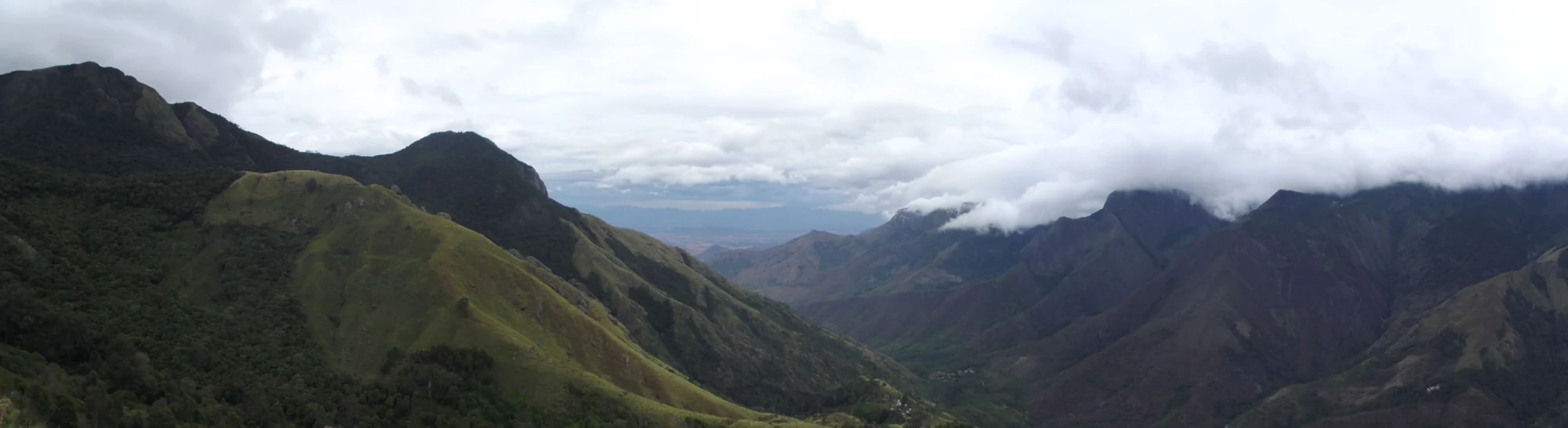
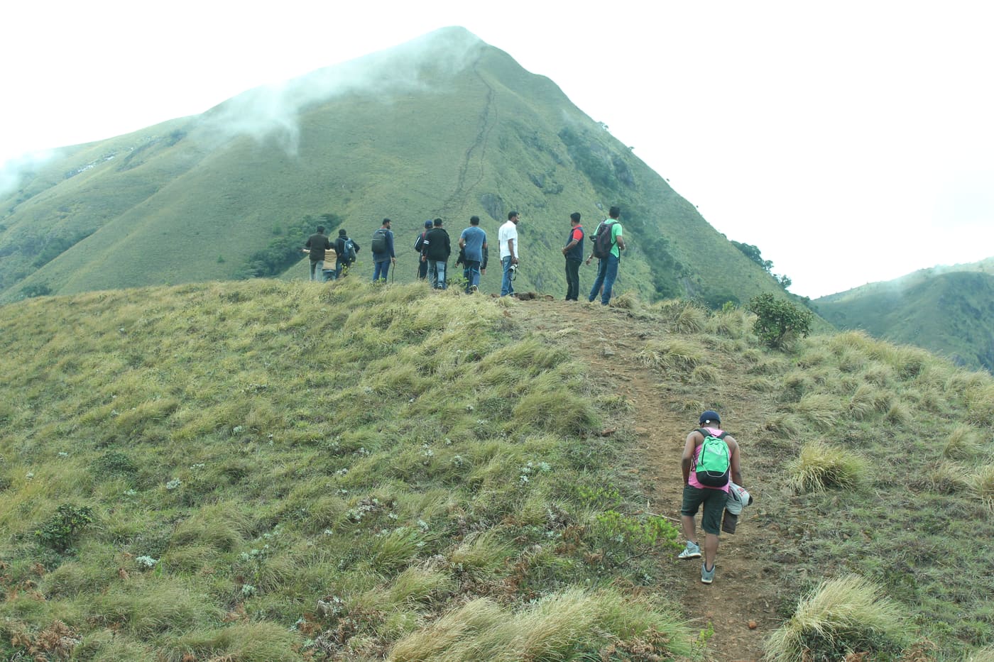
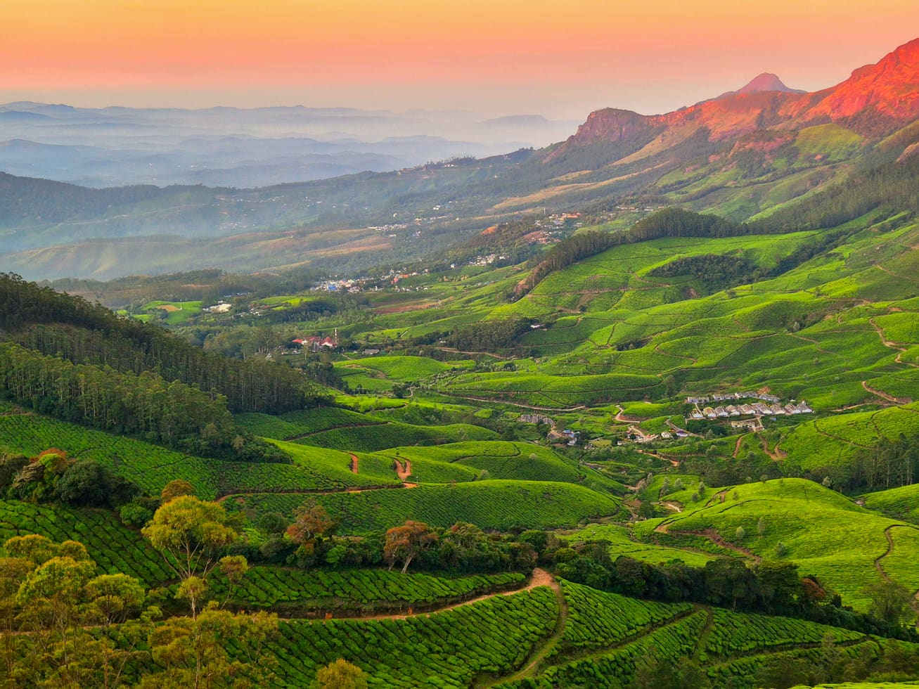
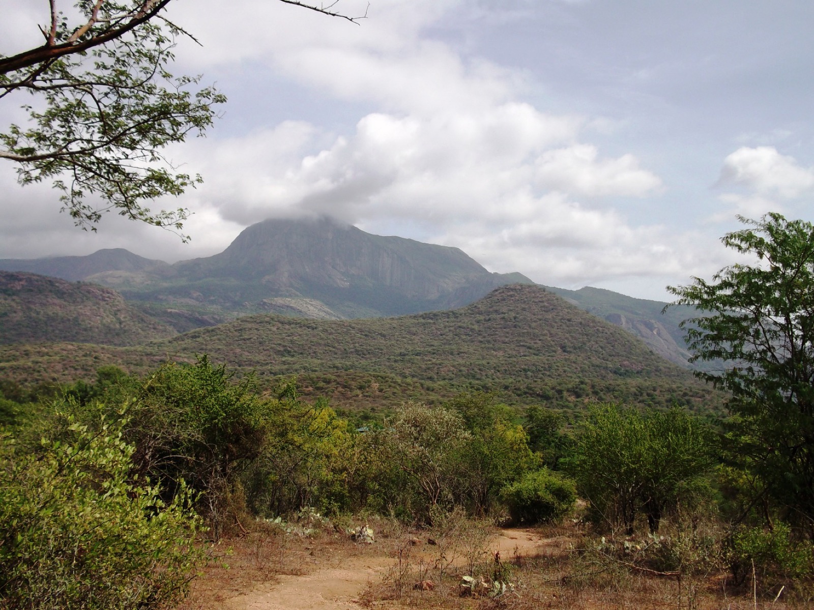
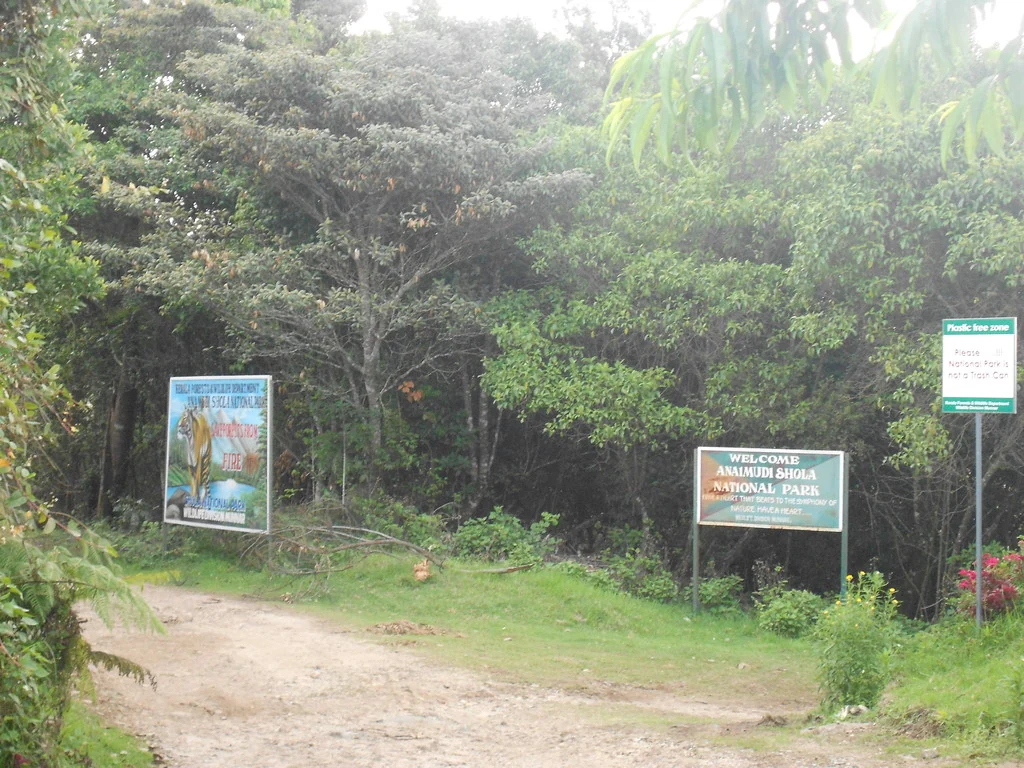
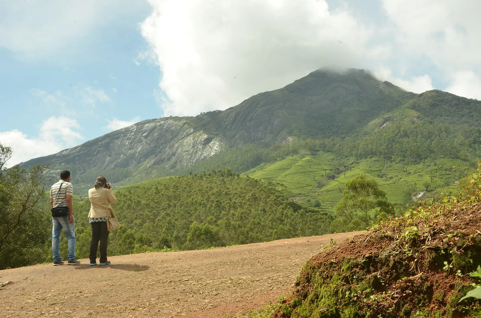
Mathikettan Shola is a forest of connections. Water gathers in its hills before joining the Panniyar system; elephants move between wooded patches; native vegetation survives beside a much larger plantation landscape. The park is small enough for those relationships to be visible in one visit, yet much larger in purpose than a viewpoint stop.
The story of Mathikettan Shola National Park
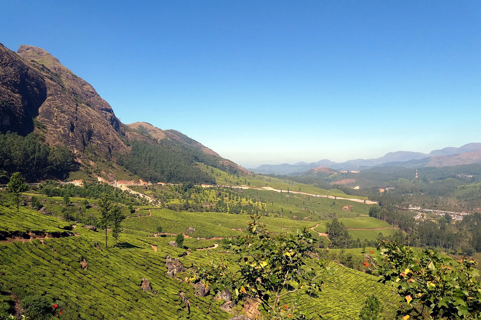
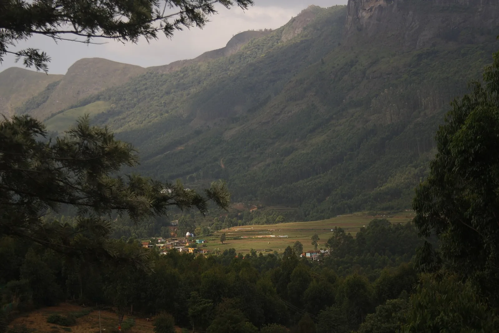
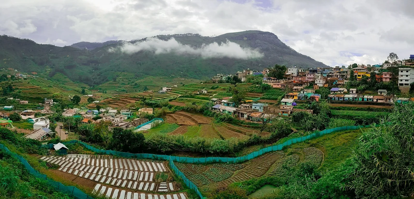
The Cardamom Hill Reserve provides the historical setting. Across that wider region, land and tree cover have long been managed through arrangements connected to cardamom cultivation. Mathikettan preserves a native-forest remnant within this cultivated landscape. Its value is not that it stands apart from everything around it, but that it retains habitat and water sources that the surrounding hills also depend on.
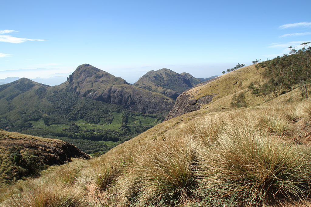
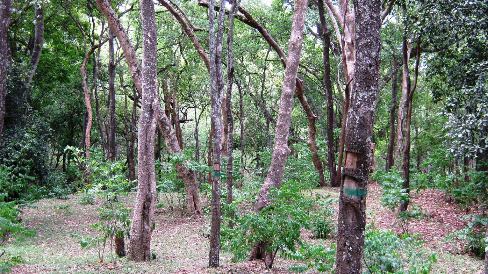
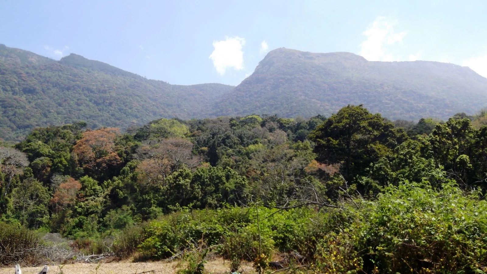
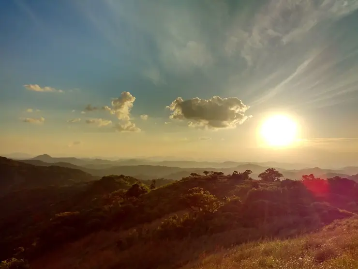
The Forest Department places the park’s principal vegetation between about 1,200 and 1,800 metres. Montane evergreen forest, other moist forest types and higher shola–grassland patches occupy different positions across the folds of the terrain. That range makes the word shola useful but incomplete: a visitor should expect transitions in canopy and slope, not an identical grove repeated from one boundary to the other.
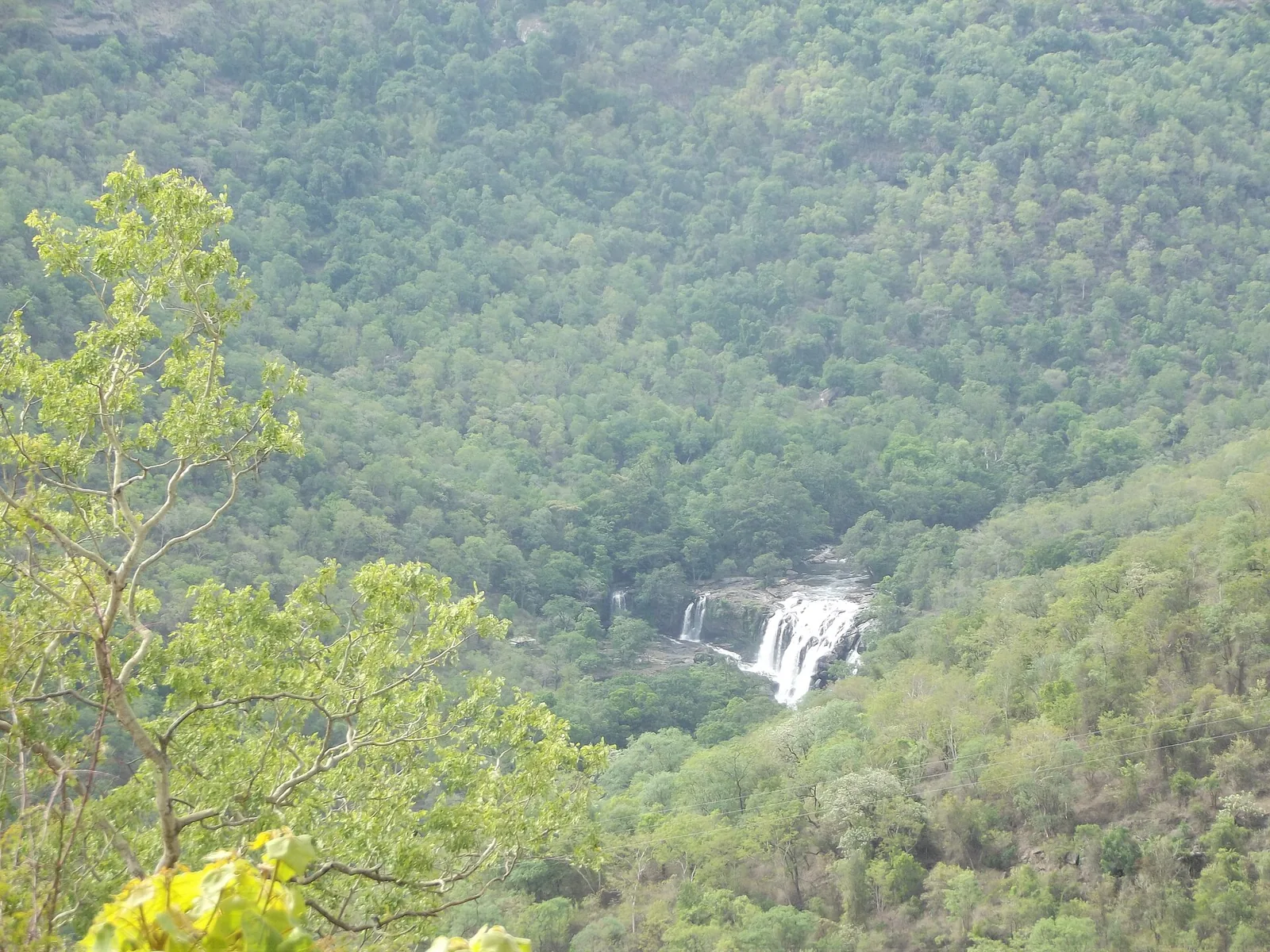
Three streams originate within the park: Uchinikuthipuzha, Mathikettanpuzha and Njandar. They are tributaries of the Panniyar, and the management plan links the watershed to agricultural and drinking-water needs around Santhanpara and Pooppara. A damp hollow on a forest walk is therefore part of a larger working water system. Its importance does not depend on becoming a large waterfall inside the visitor’s field of view.
The streams also explain why careful movement matters. Banks, shaded leaf litter and decaying wood are habitats, not obstacles to tidy away for a clearer photograph. A headwater forest is read through small signs of moisture and vegetation as much as through a broad panorama. Following a guide allows those details to be noticed without widening a path through them.
The galaxy frog, Melanobatrachus indicus, is Mathikettan’s most distinctive small-animal story. The management plan records observations during a 2004 study and again during a December 2019 amphibian survey, and adopts the species as the park’s flagship. These are documented scientific records separated by years, not evidence that every guided party can expect to see one.
The frog’s conservation value rests on its specialised microhabitat and restricted distribution. Its striking appearance can easily make it a photographic target, but turning logs or searching wet ground to find it would disturb the very setting being protected. A visitor can understand why the species matters from interpretation and habitat observation without being promised a sighting.
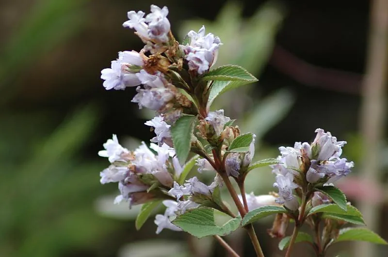
Mathikettan’s botanical interest is equally specific. The management plan records the description of Peperomia ekakesara and Memecylon idukkianum from the park in 2018 and 2019. These discoveries show why a remnant forest deserves close study even after the surrounding district has become a familiar tourism destination. A small area on a map can still contain plants whose scientific description is recent.
Elephants give the park a broader geographical role. The management plan identifies active wildlife movement and describes Mathikettan as a stepping stone in the wider connection between the Periyar and high-range landscapes. That wording is important: protecting one patch is part of maintaining a larger movement network, not a claim that tourists can follow a continuous walk from one protected area to another.
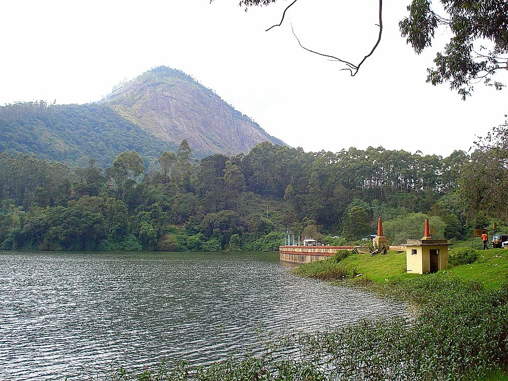
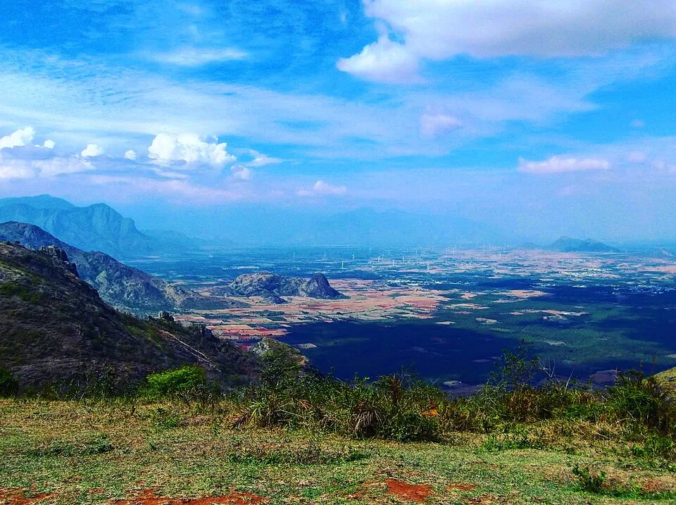
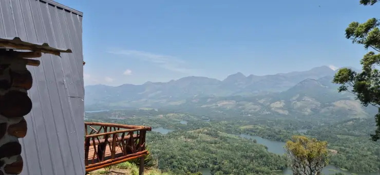
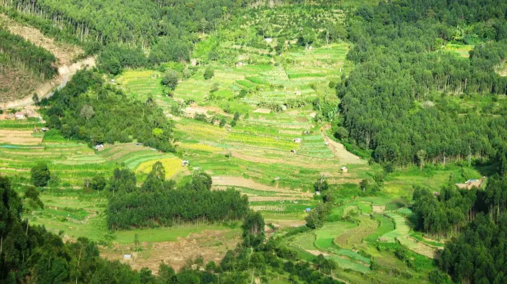
The Choondal outlook includes the Anayirankal reservoir landscape. Seen from above, water, cultivated slopes and forest patches form part of one scene. Operationally they remain separate: a Mathikettan forest programme does not include a dam visit or a boat ride. That distinction is particularly useful when an itinerary tries to combine several attractions along the Munnar–Pooppara corridor.
Tourism is organised with the Aduvilanthankudi eco-development committee. The management plan links the programme to local livelihoods and conservation work, while describing the nearby Muthuvan settlement as outside the national park. Community participation is part of the park’s management; it should not be turned into an assumption that visitors may enter homes or photograph people without invitation.
The strongest way to spend time here is to connect observations at different scales. A stream crossing belongs to a watershed; a tree species belongs to a forest community; an elephant’s route belongs to a landscape larger than the park. A guide can make those connections while keeping the walk within the part of the forest opened for visitors.