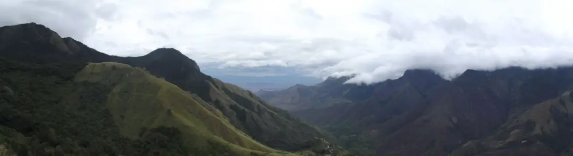
Top Station’s name preserves a journey that once carried tea out of the high ranges. Today the pause is for the valley, but the steep fall of the land still helps explain why this became a transfer point between the uplands and the country below.
The story of Top Station
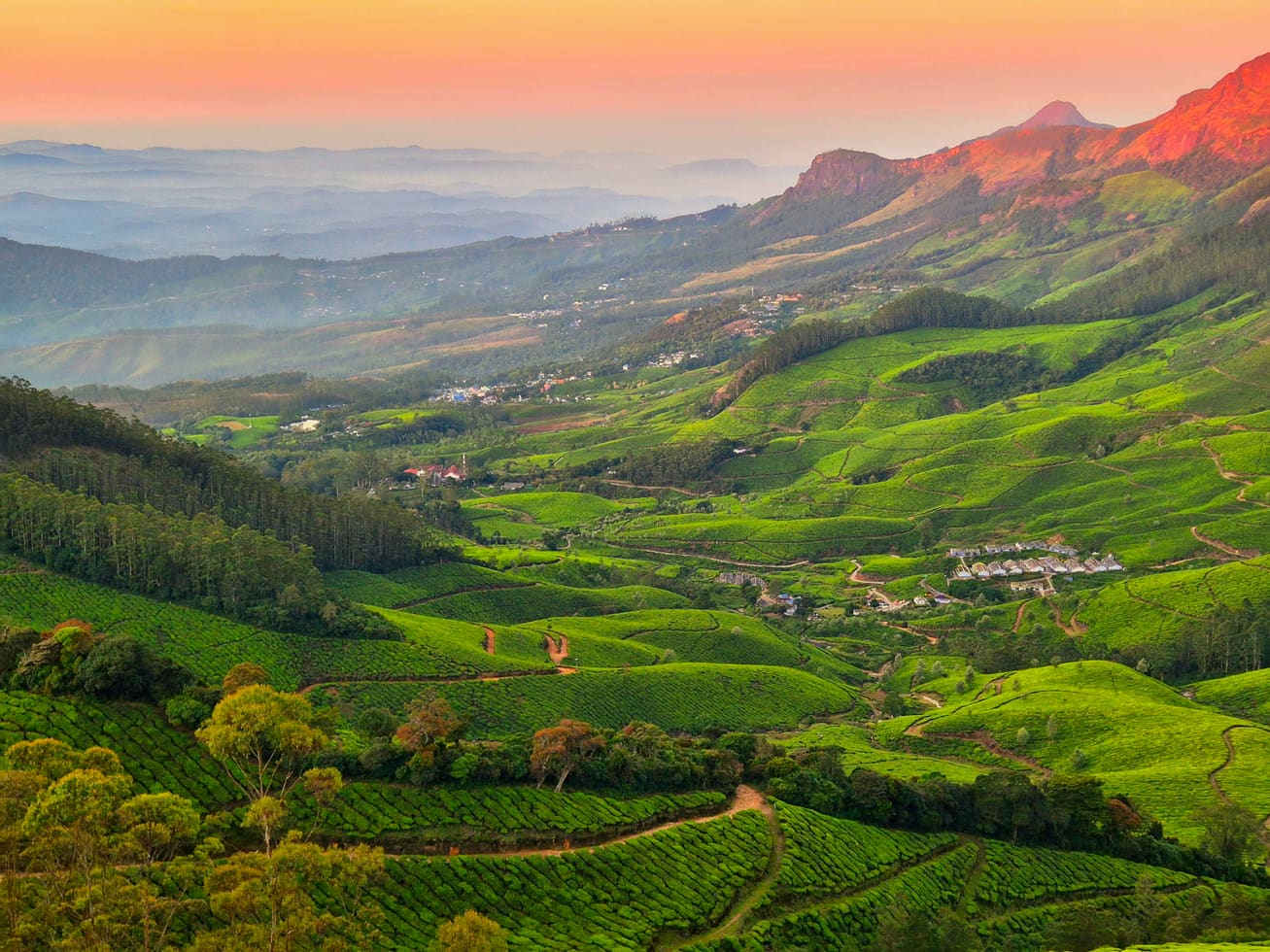
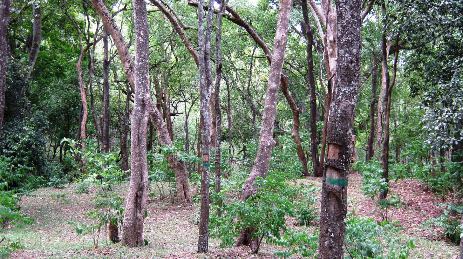
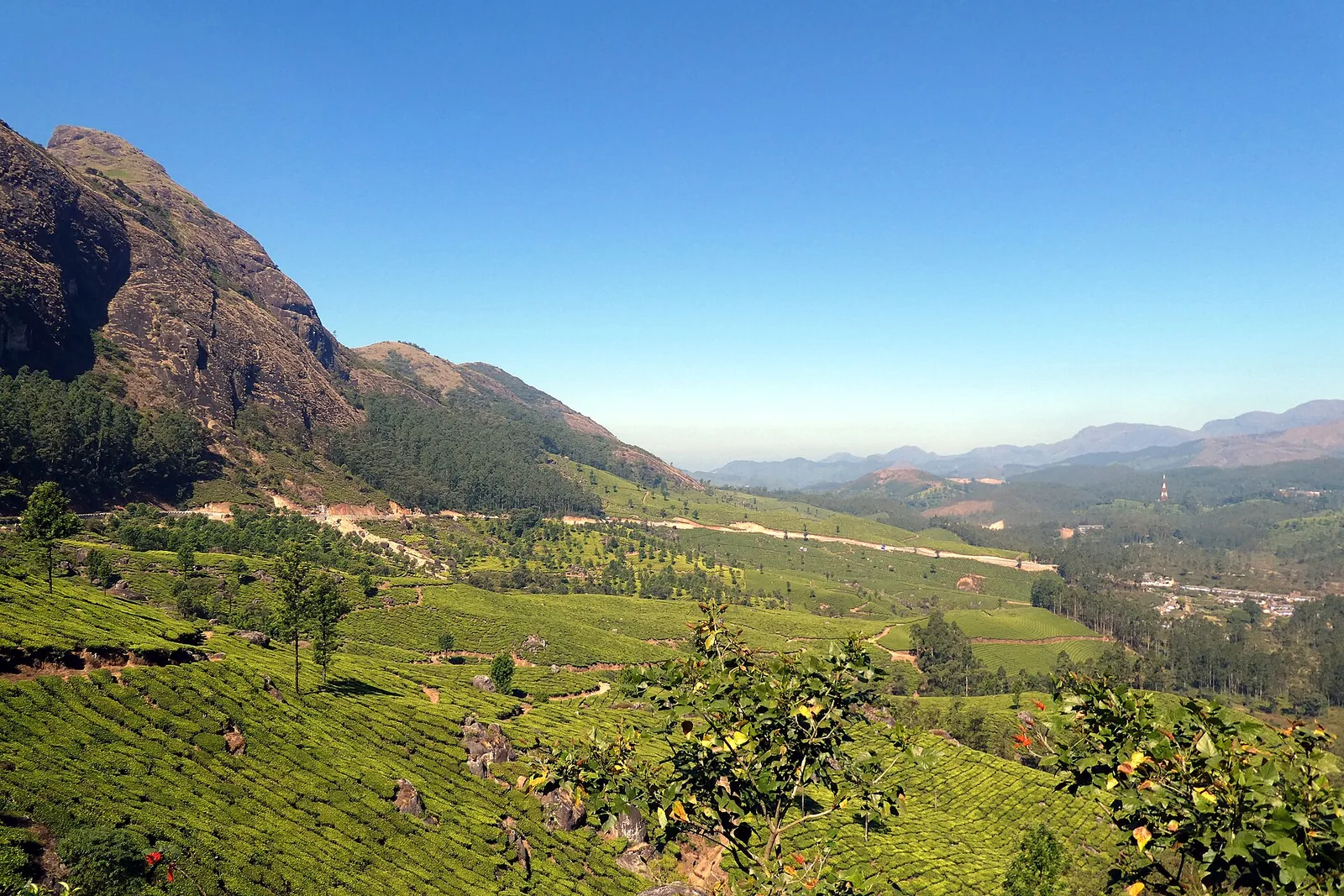
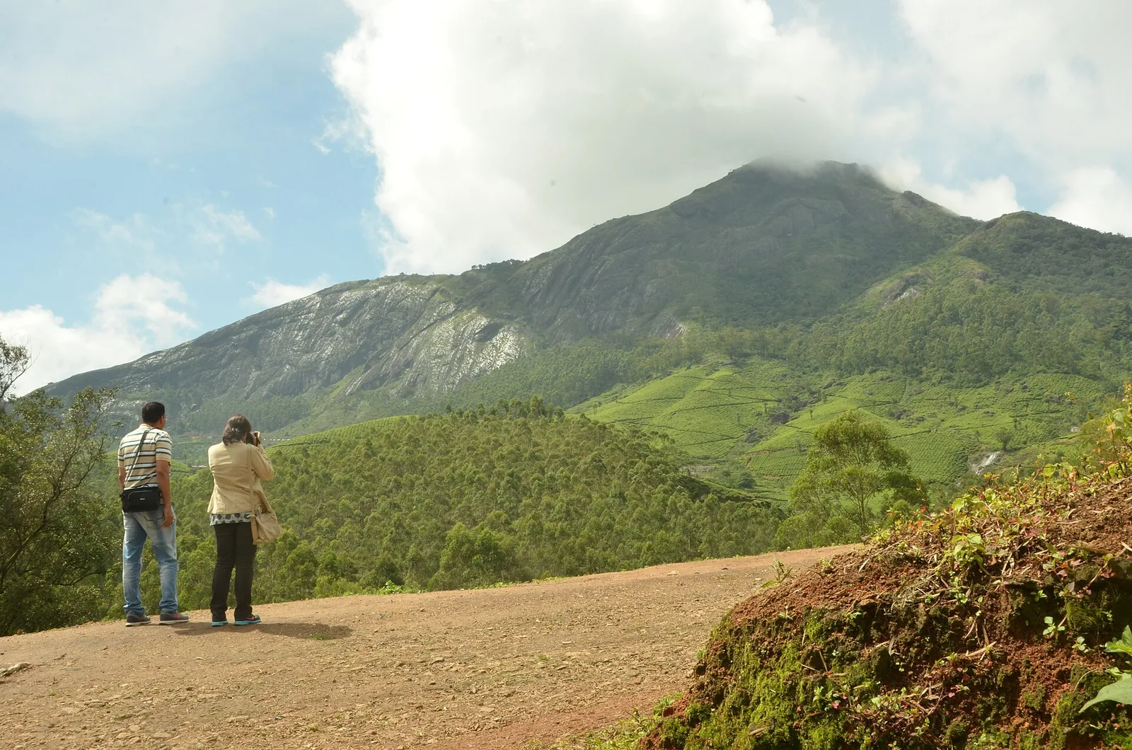
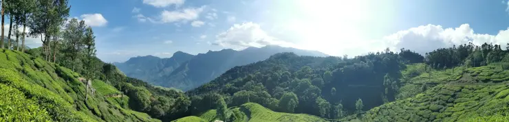
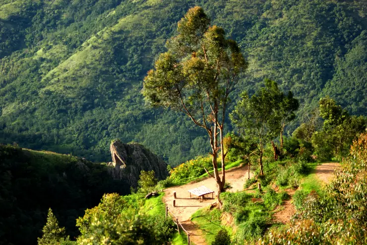
The approach offers a different landscape from the final outlook. Tea rows occupy rounded slopes beside patches of taller trees and the road. Near the edge of the high ground, the view opens into much steeper folds. The contrast gives the journey its rhythm: cultivated upland, roadhead, then a valley whose scale is easier to understand from the viewpoint than from a map.
Top Station was the upper terminus of a tea-transport route linked with Munnar. Kerala Tourism’s history of the Kundala Valley Railway describes an earlier monorail carriage system, followed by a light railway in 1908. Tea moved through this highland network before continuing towards the lower country and the port at Tuticorin, now Thoothukudi.
The historical connection explains the paired names Top Station and Bottom Station. From the upper terminus, tea was transferred towards Kottagudi by ropeway before its onward transport. The names describe positions in that goods route. They do not indicate two present-day railway platforms that a visitor can travel between on a scheduled service.
The 1924 flood broke the railway connection. Kerala Tourism records severe damage and the decision not to rebuild the line, with ropeway transport taking a larger role afterwards. The surviving name therefore outlasted the transport system that made it meaningful. This history adds substance to a viewpoint visit without requiring every old rail fragment to be identified on site.
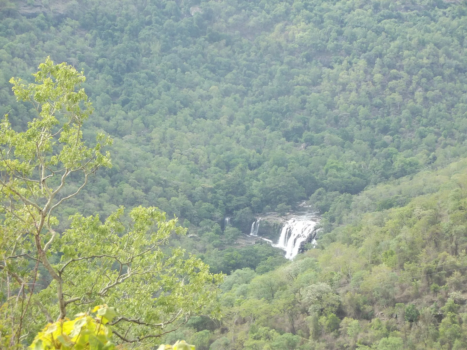
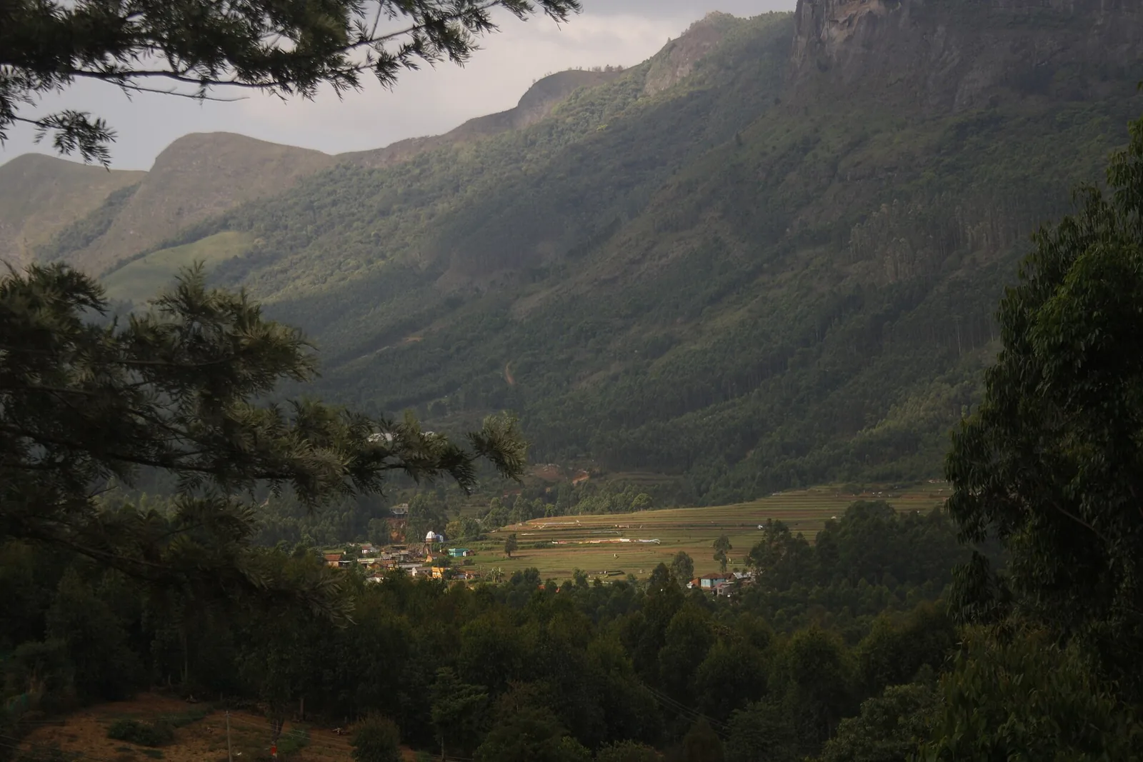
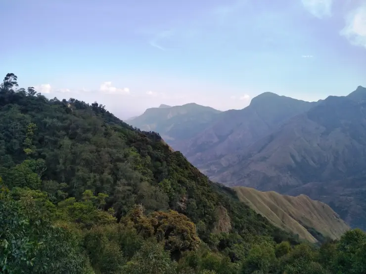
The surrounding slopes help make the transport problem imaginable. A direct line down the valley looks short in a wide photograph, but the land between high ground and plain is steep and deeply folded. Moving goods across it required a different solution from simply extending a road along the apparent line of sight. The terrain remains visible even where the old equipment is not.
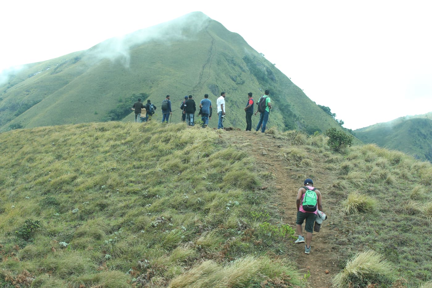
For a present-day visitor, the walking route has its own change of scale. A lower path and viewing position can bring the valley into a more open frame, while the return leads back uphill to the roadhead. The view does not need to be earned by reaching the farthest possible platform. Choosing a turning point according to the group’s mobility is part of planning the stop well.
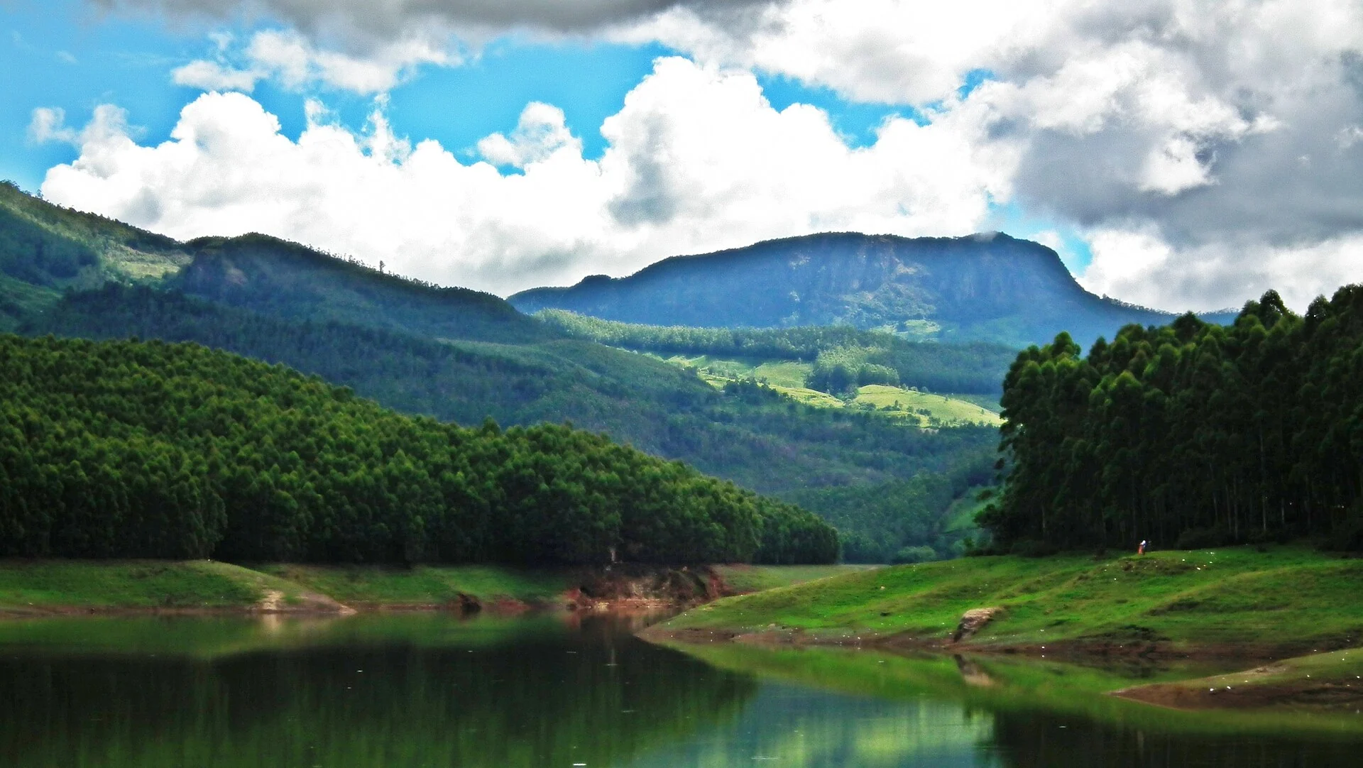
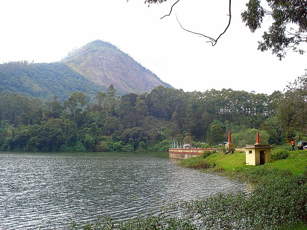
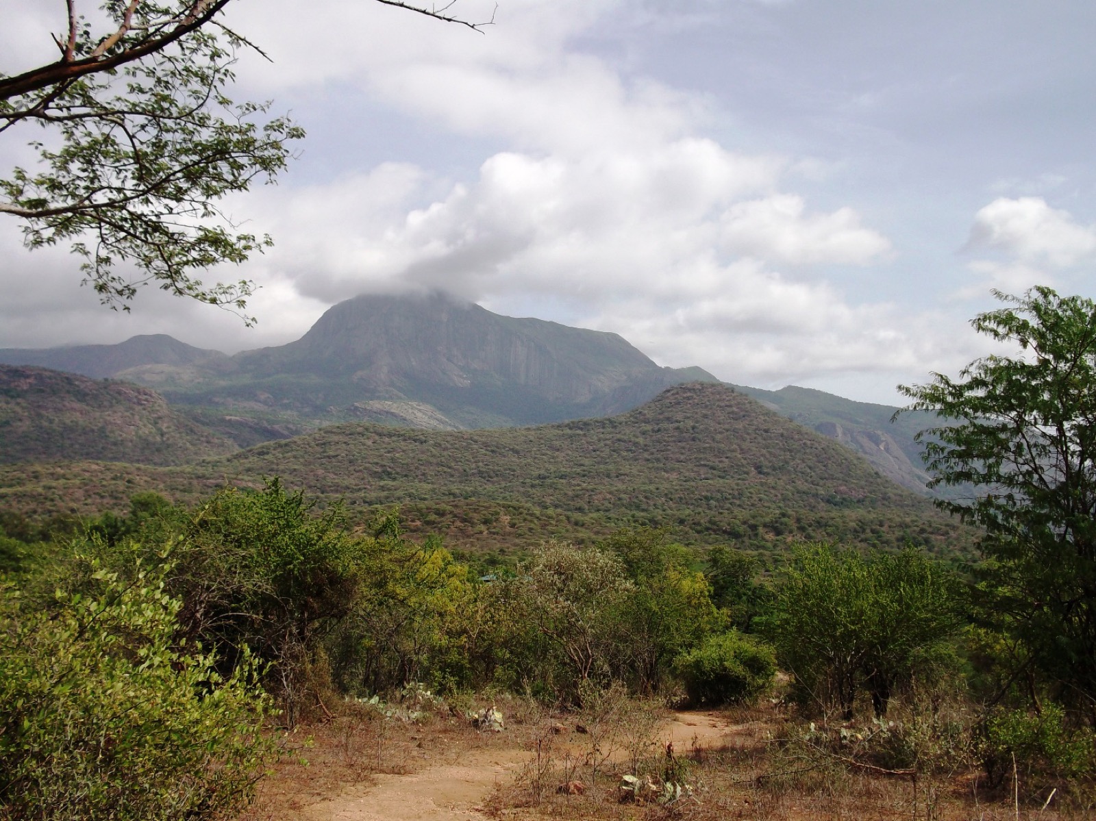
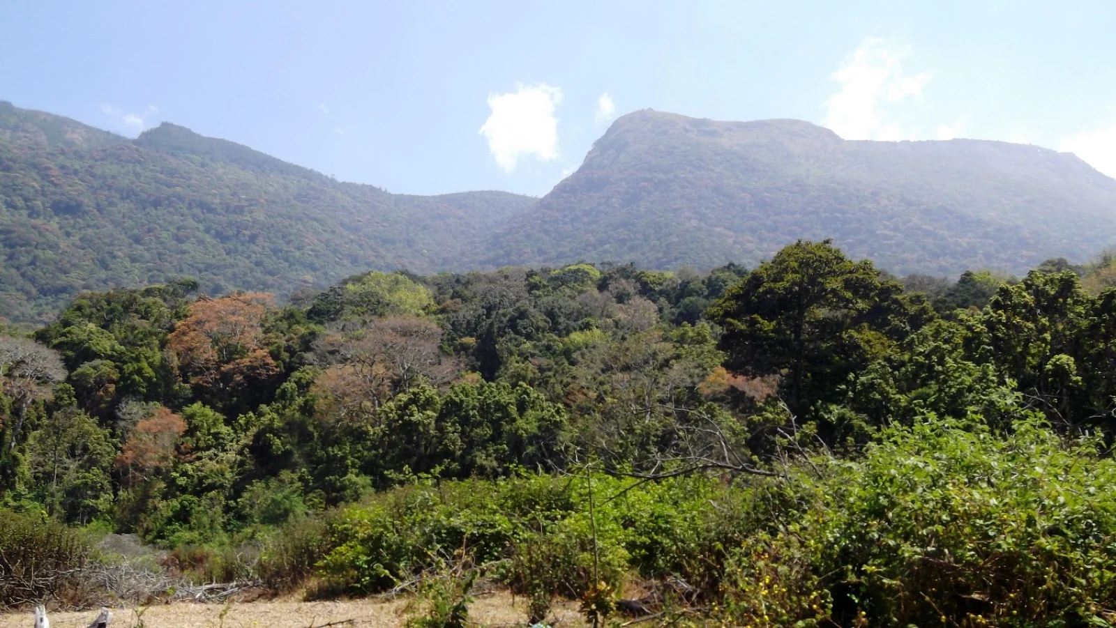
The valley itself is not one uniform green surface. Wooded hollows sit below smoother open ridges, and rock shows through on steeper faces. In clear light, successive slopes separate into distinct layers. When haze increases, their colours soften; when cloud crosses the crest, the far landscape can disappear while nearby trees remain sharply visible.
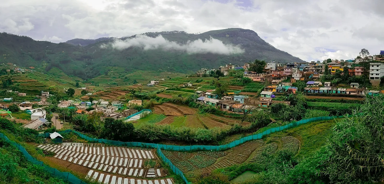
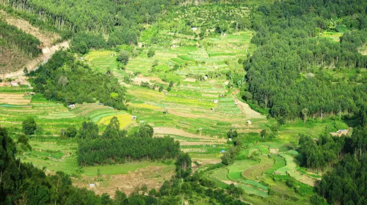
Tea fields, estate paths and buildings occupy the high ground on the approach. Their repeated field divisions contrast with the more irregular ridges beyond the viewpoint. This worked landscape gives the old goods route a practical setting: tea had to move from upland estates towards markets beyond the hills. Allow time to notice that transition between the plantation road and the final valley outlook.
Top Station also sits across a modern administrative boundary from its usual travel base. Theni district lists Kurangani Top Station among its destinations, while Kerala Tourism promotes the Munnar approach. Those are compatible travel relationships: the viewpoint is in Tamil Nadu, and many visitors reach it through Kerala. The route used to arrive does not change its physical location.
The Kurangani connection should remain a separate plan. A trekking route from the lower side crosses a much larger stretch of terrain than the short sightseeing walk from the roadhead. The presence of old transport names or a visible path does not make it an informal extension of a Munnar day trip. The ordinary visit is complete when the group returns safely to the entrance and its agreed vehicle.