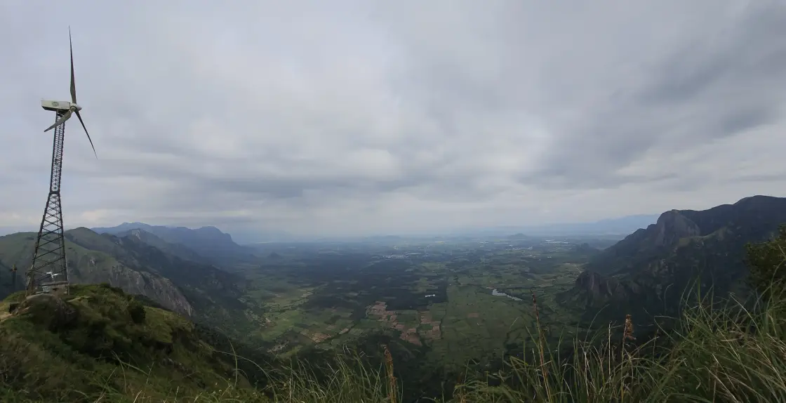
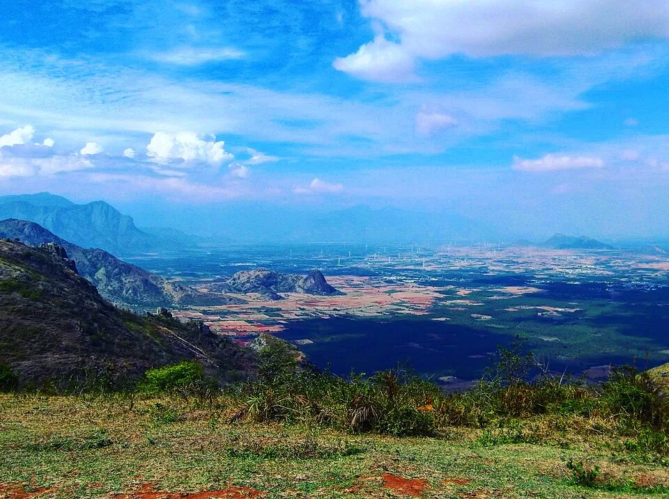
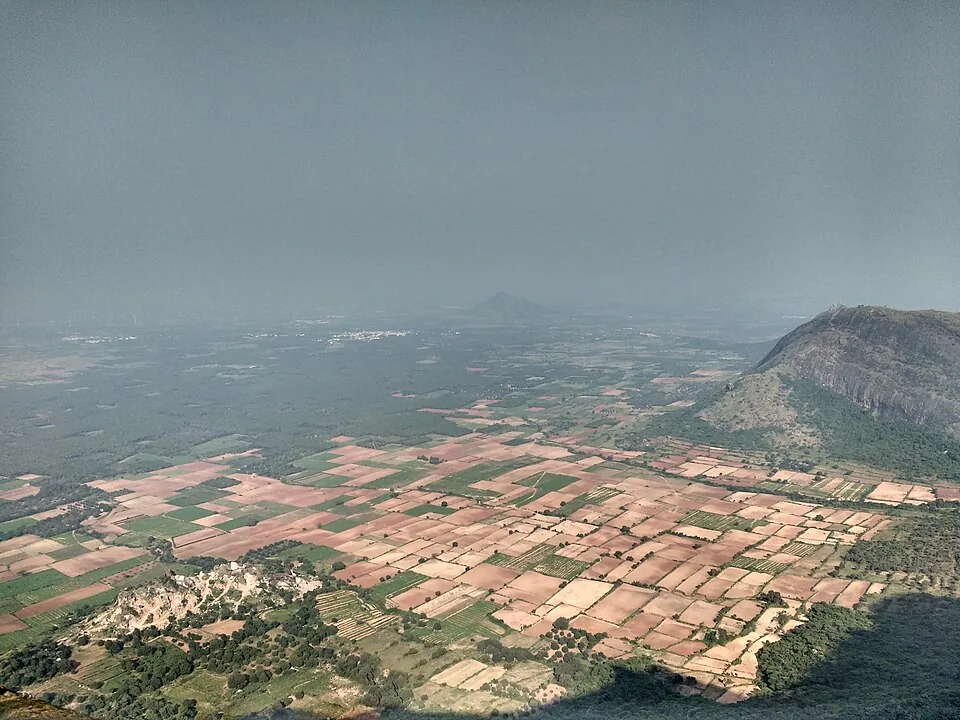
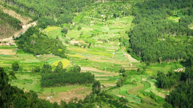
At Chathurangapara, the turbines give the eye a scale before the valley does. Their narrow lattice towers rise from the ridge, while far below, fields spread into a patchwork that looks almost flat between the walls of the Ghats.
The story of Chathurangapara Viewpoint
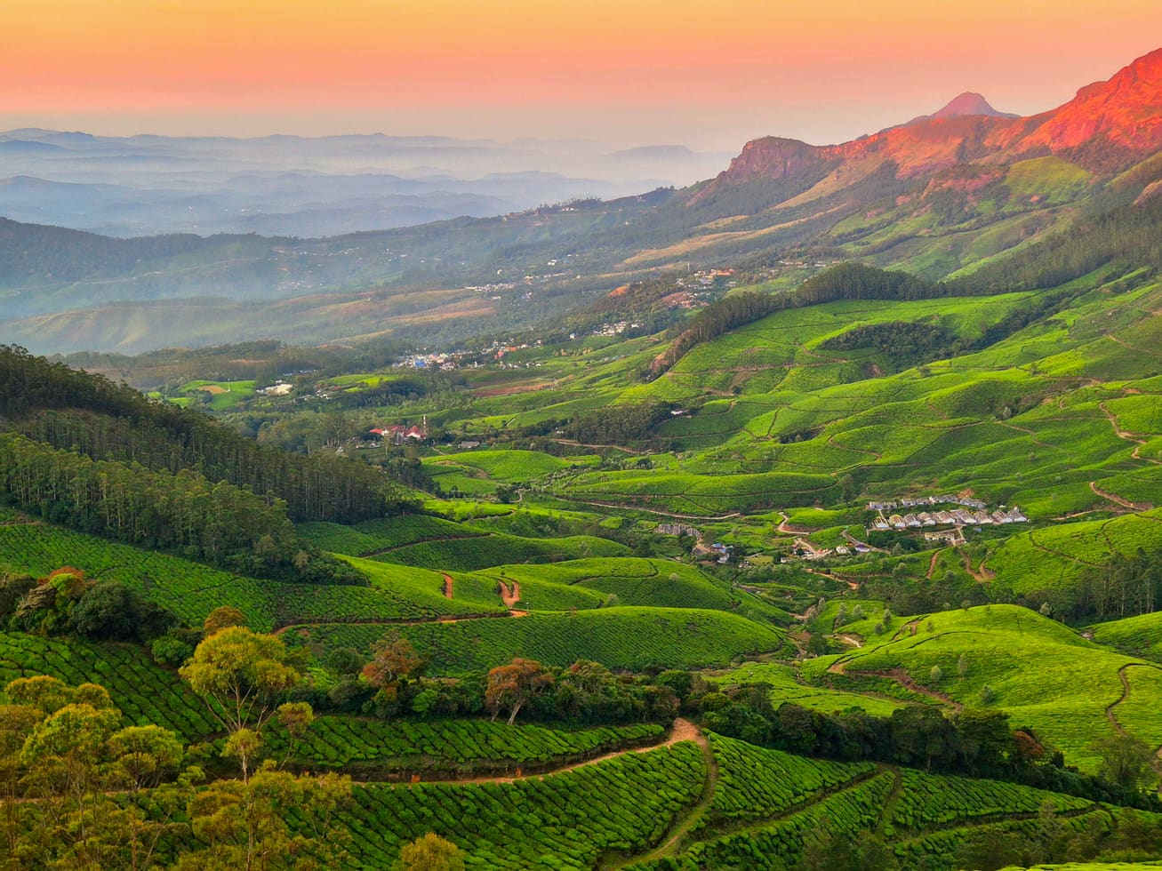
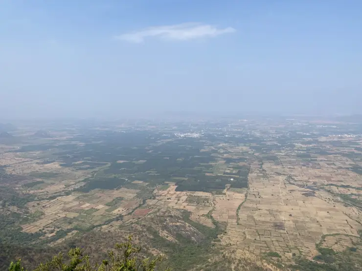
The lower landscape is one of the viewpoint’s distinguishing features. Rectangular plots, darker blocks of trees, pale dry fields and clusters of buildings extend towards the horizon. From this height, a cultivated plain becomes a pattern of land use. It is quite different from a panorama made only of successive hill ridges.
The village’s official geography places its eastern boundary against Thevaram and Pannaippuram in Theni district. That relationship helps explain the view without assigning a name to every distant building. The ridge stands at the meeting of high ground and lower agricultural country, with the state boundary running through this wider border landscape.
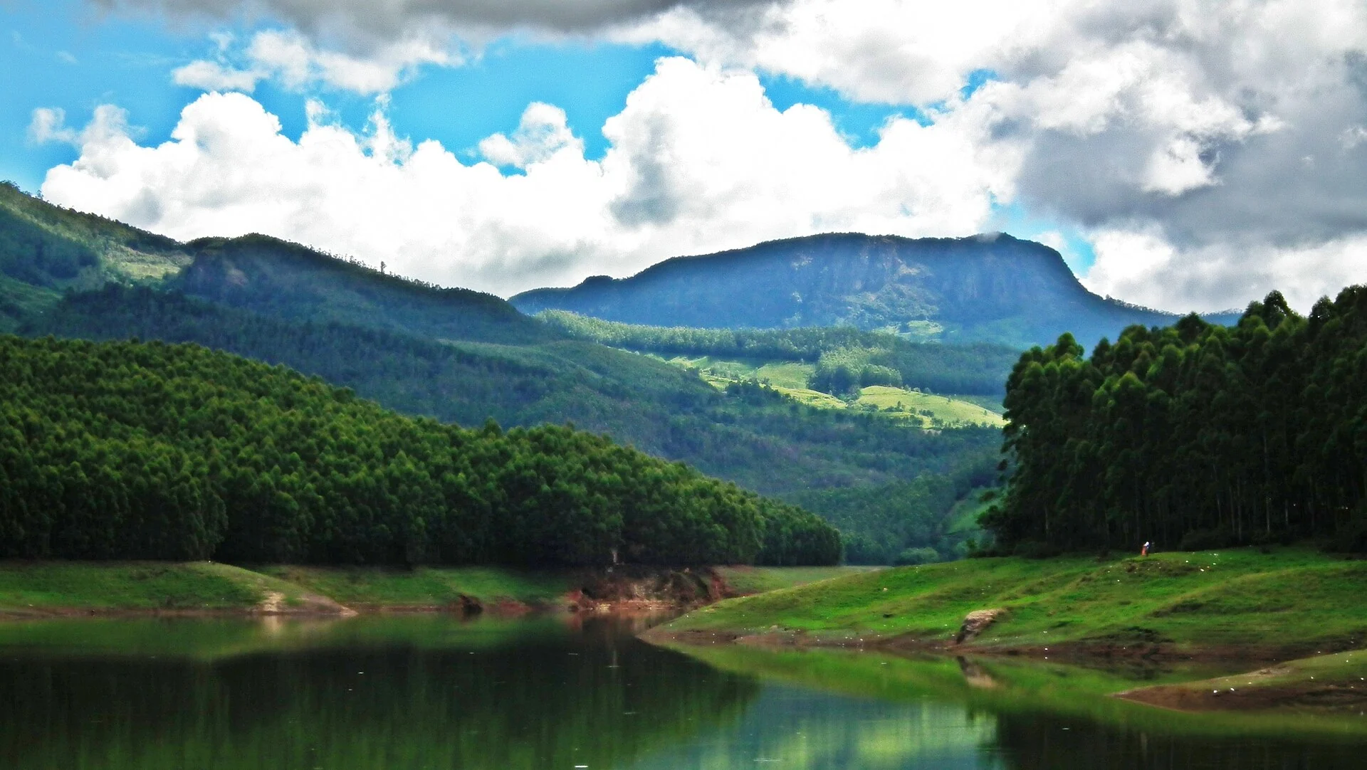
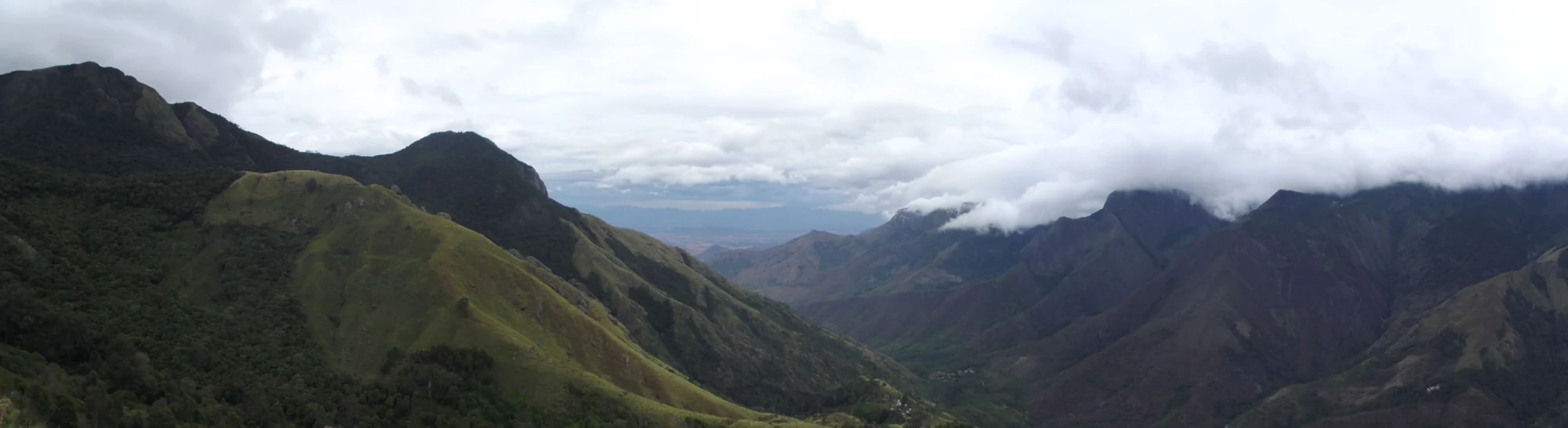
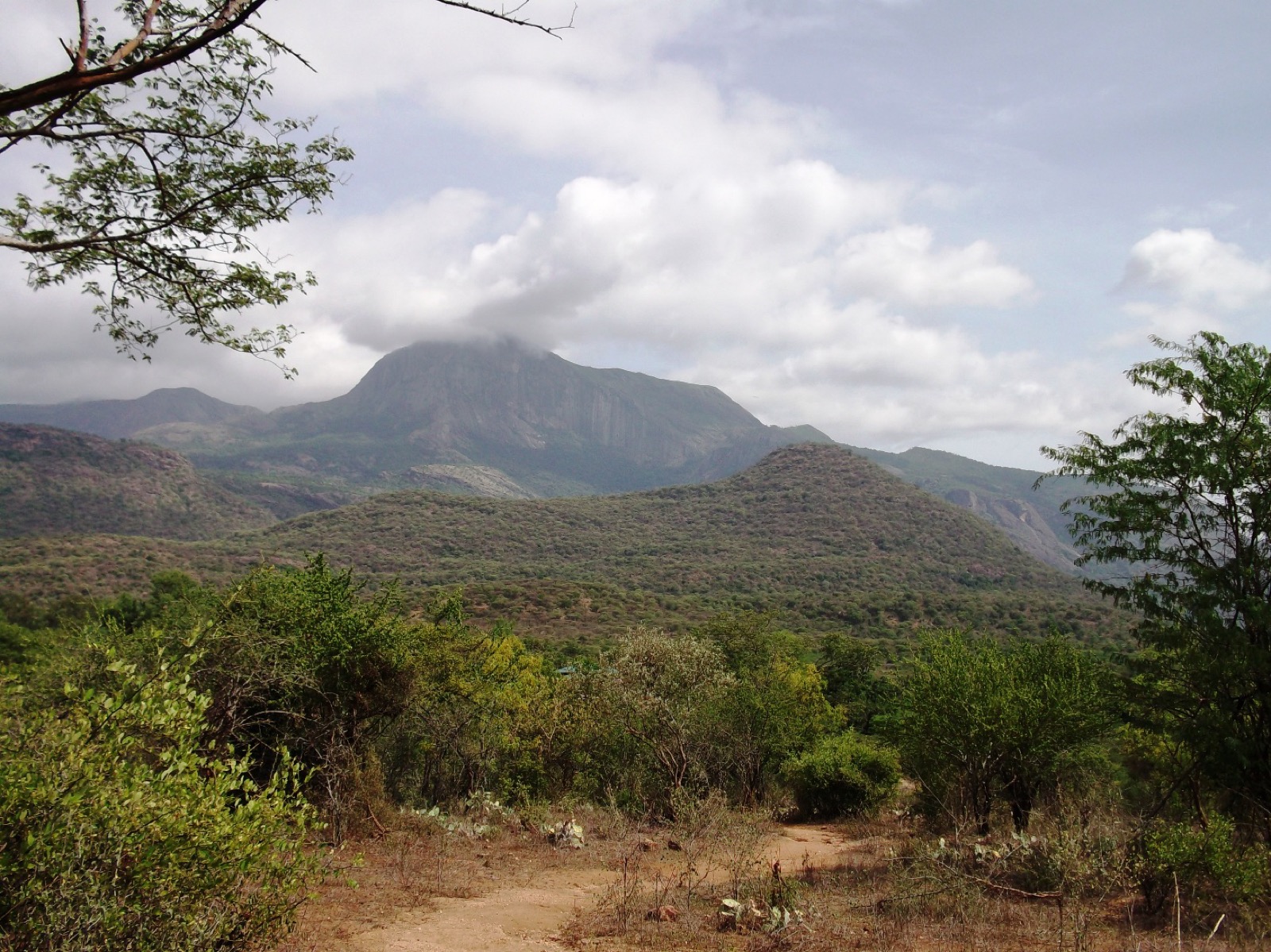
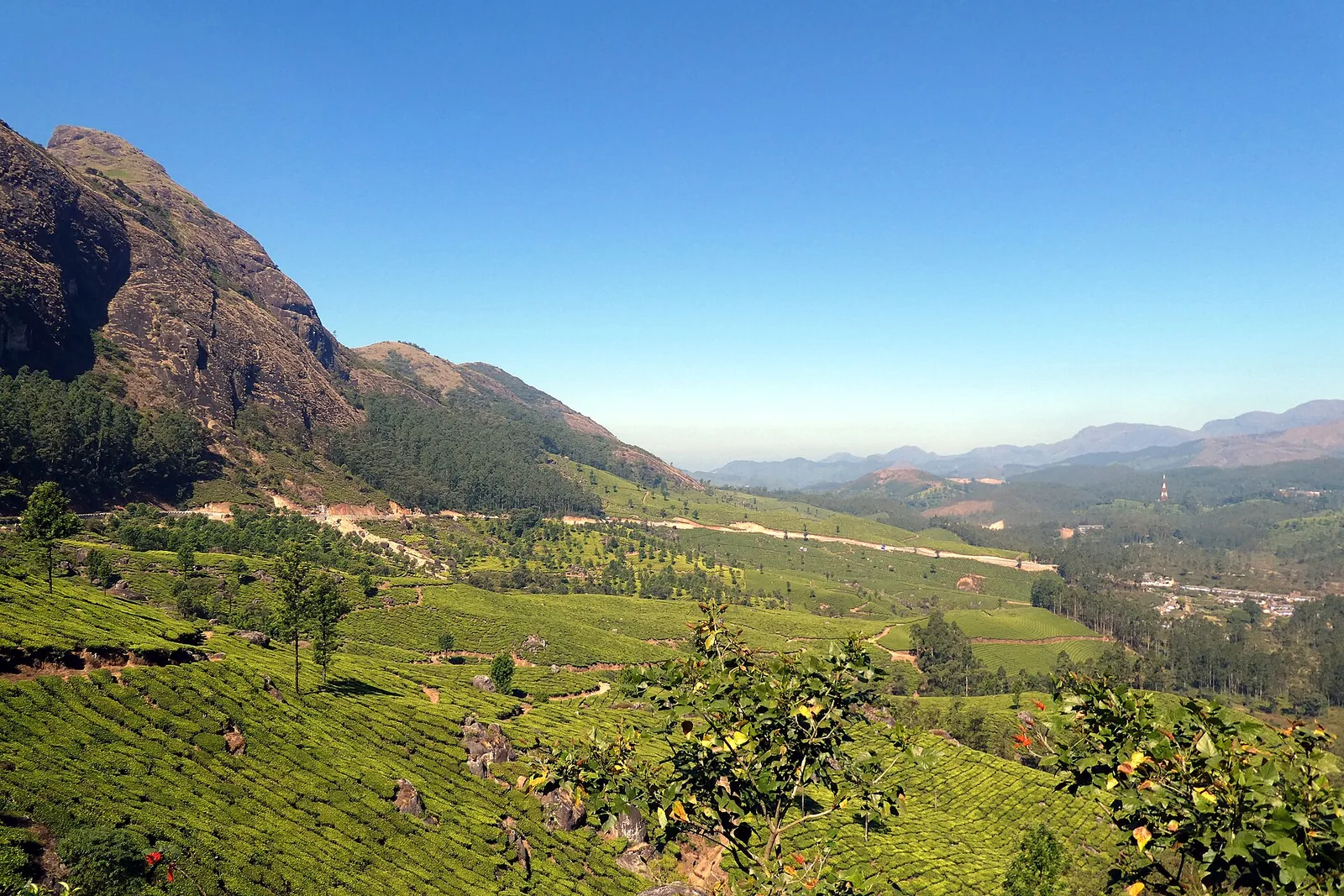
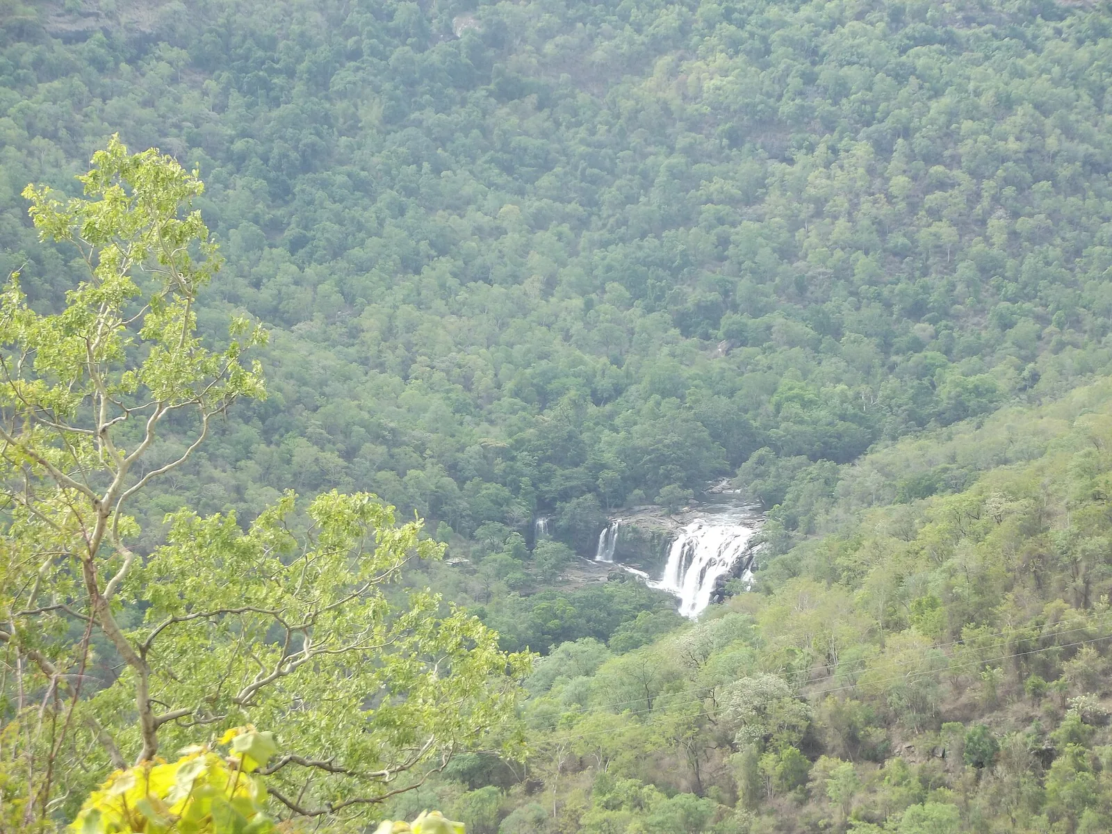
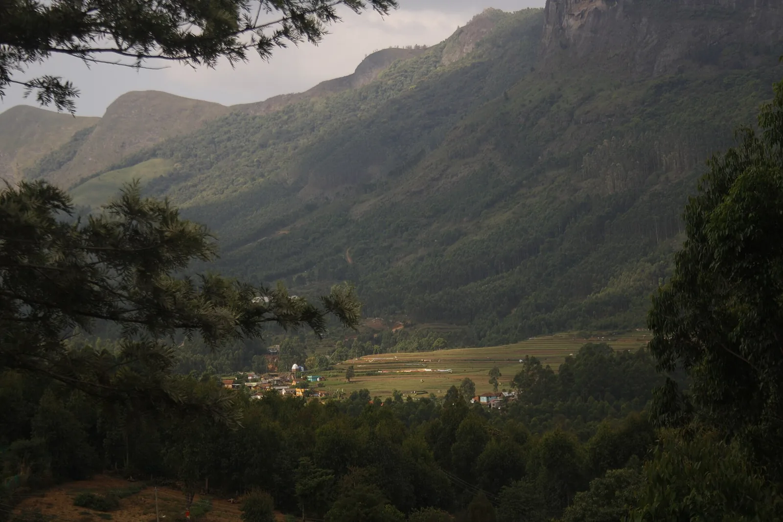
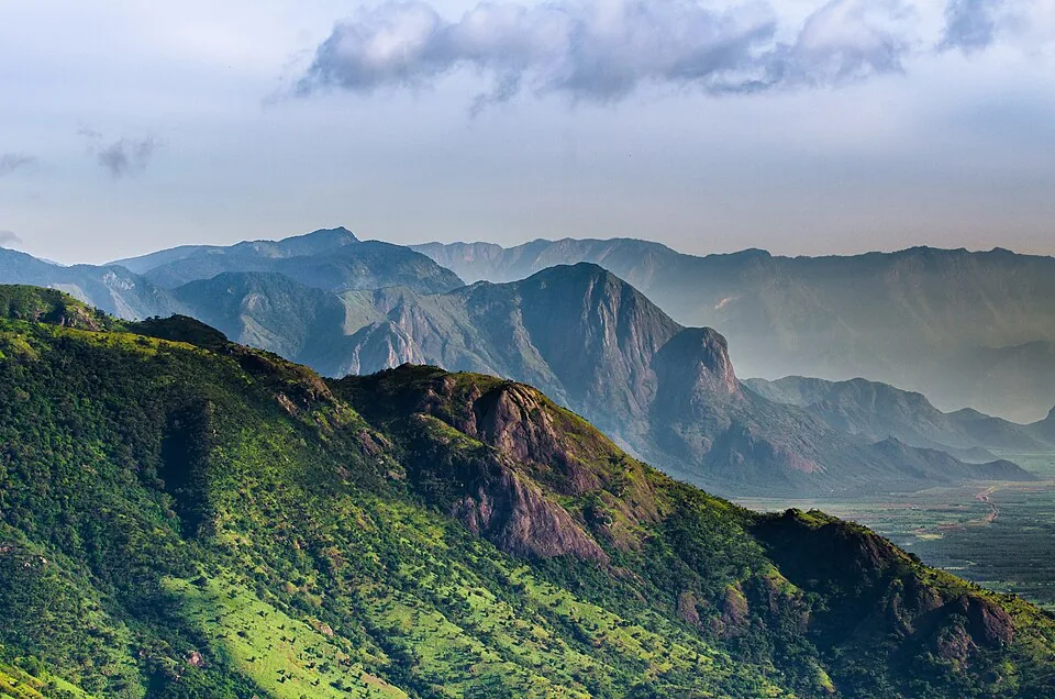
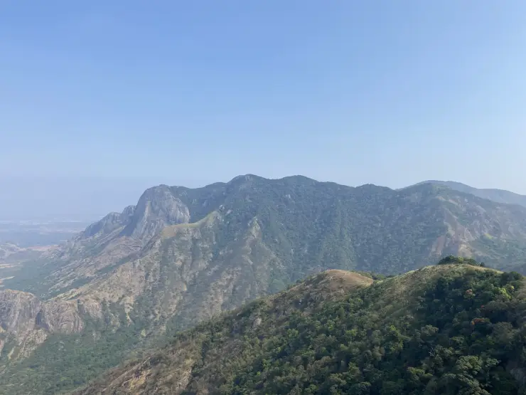
The slopes immediately below are much steeper than the plain. Broad grey rock faces interrupt the vegetation, and folds of denser green follow the hollows. Grass covers some upper surfaces while trees occupy others. Looking across rather than straight down makes the change in relief easier to understand and gives a better sense of why the apparent edge deserves distance.
Turbines add a repeated vertical form to this irregular terrain. In the photographic record, lattice towers stand at intervals along the crest, linked by tracks and small cleared spaces. Their bases, access routes and associated poles are part of an energy installation. The ridge is therefore both a landscape destination and a place with a working infrastructure purpose.
The towers also make distance legible. A nearby machine dominates the frame, while others shrink along the ridge. People and vehicles on the track give another measure of scale. The long view can feel immense, but these small details show that the visitor route occupies only a narrow part of the hilltop.
Wind is not merely an atmospheric description here. Kerala Tourism warns that its force can increase quickly at the viewpoint. The same exposed setting that makes the turbines prominent also leaves visitors without the shelter available farther down the approach. Conditions on the main road are not a dependable measure of conditions on the crest.
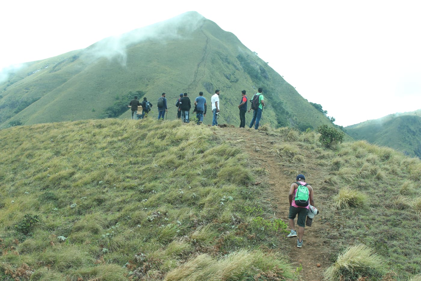
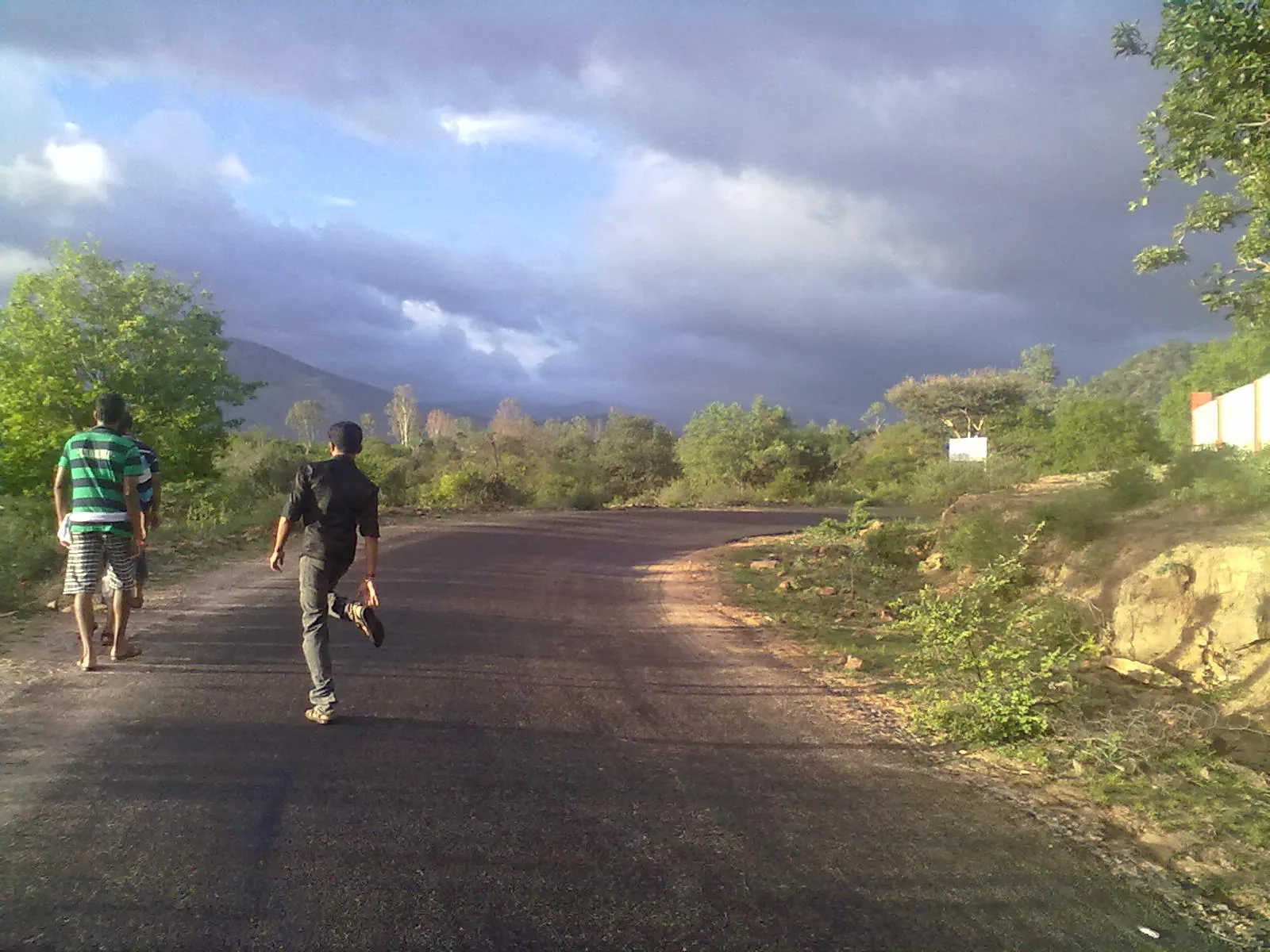
The final ascent changes the experience of arrival. The approach begins within a settled high-range area and climbs towards more open ground, where the vegetation lowers and the view widens. The rougher ridge tracks belong to this final stage. Reaching the locality by bus is not the same as reaching the hilltop, and a vehicle photograph does not establish that every car should attempt the climb.
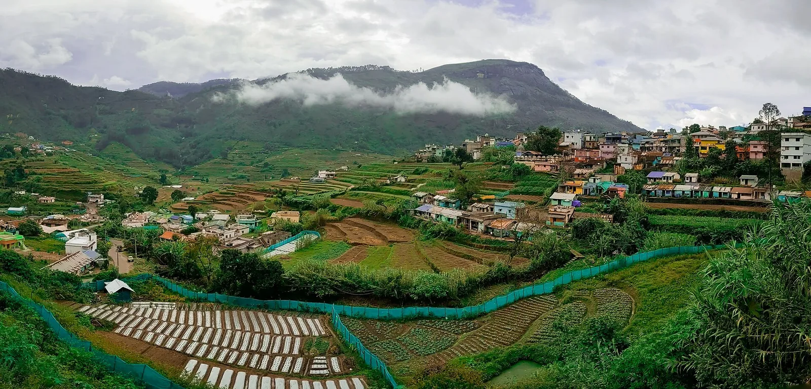
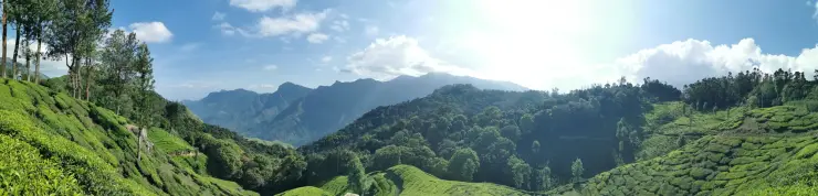
Chathurangappara is also a village name, not only a viewpoint label. The Revenue Department describes a hilly, largely cardamom-plantation setting and identifies several named hilltops within the village. The open turbine crest is one part of that larger inhabited landscape. A visit becomes more grounded when the road and settlements below remain part of the picture.
The name has a story of its own. The village account connects Chathurangappara with chathurangam, a board game, and traditions of play on the hilltop involving Pandya rulers. This is a local explanation of the name. It does not establish a surviving board, a dated royal event or an archaeological site that a visitor can expect to find on the ridge.
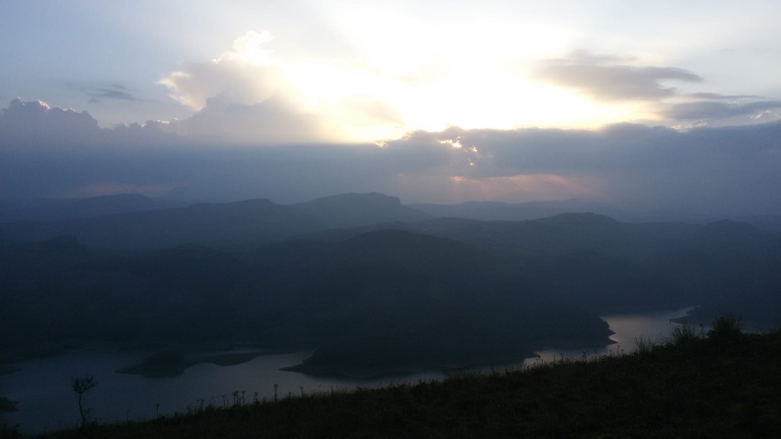
Weather changes which part of the place is most visible. Clear conditions favour the fields and distant settlements; haze softens their outlines; mist can leave only the nearest tower and track. In poor visibility, the close details remain interesting, but the safe limit of the visit becomes smaller. The return route matters more than waiting for a perfect panorama.